EstuaryWatch Data Portal
Overview
| Estuary name | Barwon River Estuary |
|---|---|
| CMA | Corangamite CMA |
| Description |
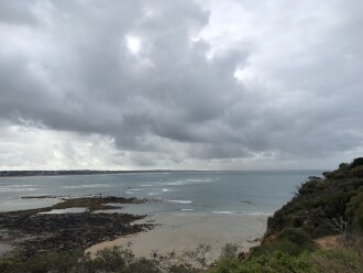
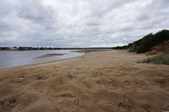
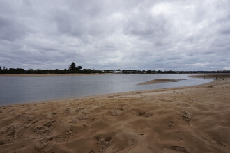
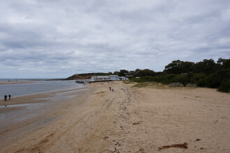
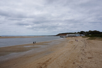
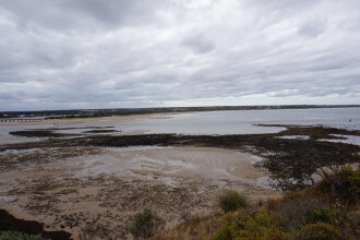
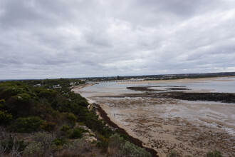
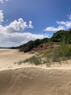
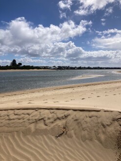
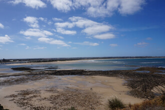
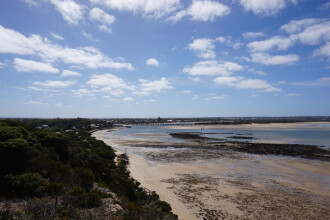
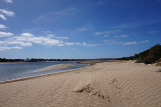
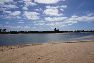
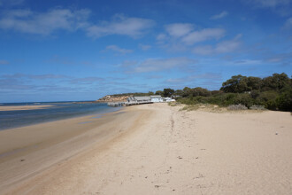
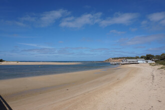
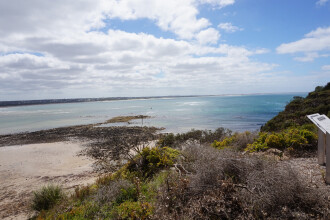
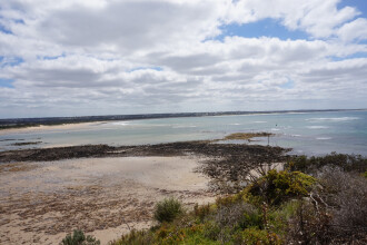
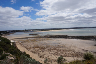
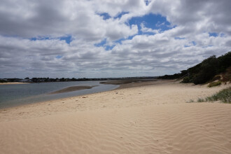
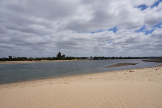
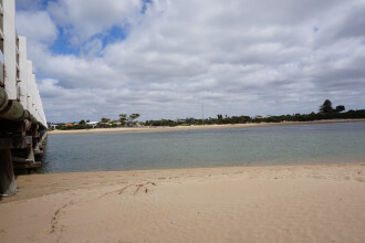
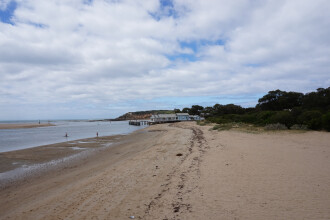
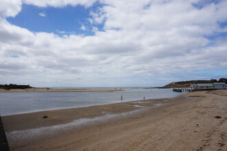
The Barwon River Estuary is the largest in the region at approximately 19km in length and with a catchment area of 17,310Ha and extends from the internationally significant wetland at Lake Connewarre to the sea at Barwon Heads. The Barwon Estuary supports the westernmost occurrence of the White Mangrove in Victoria. |
| Estuary Values |
|
| Estuary Threats |
|
| Data | Site observations |
| Status | Active |
| Monitor group | Barwon River EstuaryWatchers |
| Document | Barwon_River_EW_Monitoring_Plan_2017.pdf |
| Document | Barwon River Estuary Fact Sheet |
Sites
| Site details | Options |
|---|---|
B1 The HeadsActive Physico-Chemical 09-11-2007 - 18-12-2024Jetty adjacent to "At the Heads" restaurant |
Observations 240 |
B2 Boat Ramp JettyActive Physico-Chemical 20-01-2008 - 18-12-2024Fishing jetty adjacent boat ramp. |
Observations 242 |
B3 Ocean Grove Boat RampRetired Physico-Chemical 09-11-2007 - 08-03-2012Ocean Grove Boat Ramp Jetty. |
Observations 11 |
B4 The ThunderboltActive Physico-Chemical 09-11-2007 - 01-04-2021The thunderbolt is a deep section of water that links Lake Connewarre and the Barwon River Estuary. |
Observations 56 |
B5 Tait PointActive Physico-Chemical 10-12-2007 - 18-12-2024This site is located to the north of the picnic table located at the end of Lake Road. |
Observations 237 |
B6 Lower BreakwaterActive Physico-Chemical 15-08-2008 - 20-03-2019Lower breakwater viewing platform adjacent to fish ladder. Monitor off the estuary side of the platform. |
Observations 32 |
B7 Reedy Lake Gate South SideActive Physico-Chemical 06-02-2017 - 25-05-2018The Reedy Lake Gate South Side monitoring site has been added to the Barwon EstuaryWatch Monitoring Plan to provide ongoing water quality data to assist in the management of the watering regime for Reedy Lake. Water flow between the lake and the wider Barwon estuary can be controlled via gated access points. This monitoring site is located at the Reedy Lake outlet gate, that is, where water from Reedy Lake flows out through the gate when it is lowered. This site is only monitored by EstuaryWatch volunteers when accompanied by an EstuaryWatch Coordinator. It is a physical/chemical monitoring site, but photopoint monitoring will also be undertaken in an effort to track vegetation change aligned with changes in the water regime. |
Observations 4 |
B8 Reedy Lake Gate North SideActive Physico-Chemical 06-02-2017 - 15-03-2017The Reedy Lake Gate North Side monitoring site has been added to the Barwon EstuaryWatch Monitoring Plan to provide ongoing water quality data to assist in the management of the watering regime for Reedy Lake. Water flow between the lake and the wider Barwon estuary can be controlled via gated access points. This monitoring site is located at the Reedy Lake outlet gate, that is, where water from Reedy Lake flows out through the gate when it is lowered. This site is only monitored by EstuaryWatch volunteers when accompanied by an EstuaryWatch Coordinator. It is a physical/chemical monitoring site, but photopoint monitoring will also be undertaken in an effort to track vegetation change aligned with changes in the water regime. |
Observations 3 |
B9 Fitzgeralds Road Boat RampActive Physico-Chemical 06-02-2017 - 25-05-2018The monitoring site is located at an unstructured boat ramp which is adjacent to a 5 Knot sign. As water levels in Reedy Lake alter, monitors will need to adjust where they stand on the boat ramp to monitor the water safely. This site is only monitored by EstuaryWatch volunteers when accompanied by an EstuaryWatch Coordinator. It is a physical/chemical monitoring site, but photopoint monitoring will also be undertaken in an effort to track vegetation change aligned with changes in the water regime. |
Observations 4 |
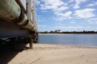
BEMPP2 Barwon Heads bridge, Barwon HeadsActive Physico-Chemical N/A - N/ABeach monitoring beside the northern aspect of the bridge |
Observations 0 |
BEMPP3 Beach at Ozone jetty, Barwon HeadsActive Physico-Chemical N/A - N/ABeach monitoring left of jetty (northern aspect), between pole (part of drain structure) and jetty |
Observations 0 |
BEMPP4 Talbot St drain outlets, Barwon HeadsActive Physico-Chemical N/A - N/A |
Observations 0 |
BEMPP6 Sheepwash drain outlet, Barwon HeadsActive Physico-Chemical N/A - N/AConcrete stormwater drain/s (900mm width). Twin black outlets. |
Observations 0 |
BEMPP7 BEMPP Ocean Grove beach opposite Ozone Jetty, Ocean GroveActive Physico-Chemical N/A - N/ABeach |
Observations 0 |
BEMPP8 Dare St Outlet, Ocean GroveActive Physico-Chemical N/A - N/ABEMPP site 8 Drain outfall |
Observations 0 |
BGB1 Gauge Board (at mouth)Active Gauge BoardThe water level gauge board is found on the 'At The Heads' jetty. |
|
BGB2 Gauge Board (upstream)Retired Gauge BoardThis particular gauge board is surrounded by a fenced off riparian rehabilitation site, that adjoins walking paths the meander through sections of Moonah Woodland. |
Photos 1 |
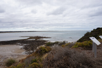
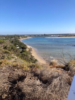
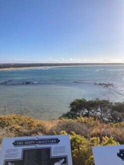
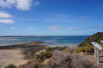
BMC Barwon River - Observation SiteActive Mouth Condition 15-12-2007 - 18-12-2024Bluff Lookout. |
Observations 252 |
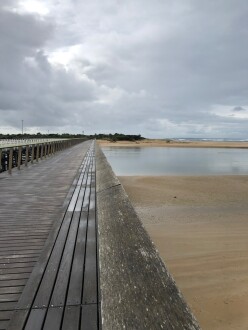
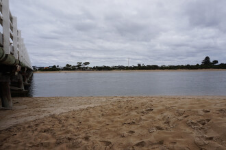
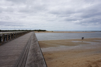
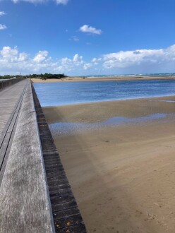
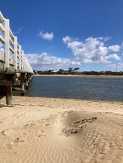
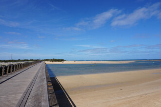
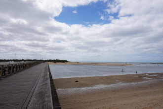
Bp1 Barwon River photopoint site oneActive Photopoint 28-06-2010 - 18-12-2024Barwon Heads - Ocean Grove Pedestrian Bridge. East end of 15th handrail plank from Barwon Heads side of the bridge. |
Photos 596 |
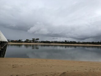
Bp2 Barwon Photopoint 2Active Photopoint 27-07-2010 - 18-12-20242metres out from 2nd pylon located at the eastern end of the Barwon Heads - Ocean Grove Road bridge (landward side of the bridge) |
Photos 530 |
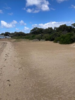
Bp3 Barwon River photopoint site 3Inactive Photopoint 27-07-2010 - 21-09-2022Primary dune located approximately 200 meters to the ENE of the Barwon Coast Office. |
Photos 106 |
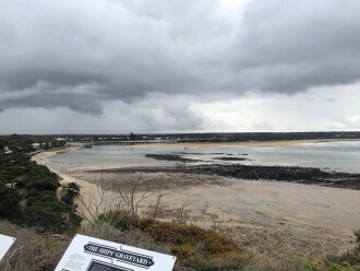
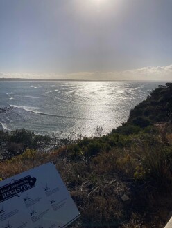
Bp4 Barwon River photopoint site fourActive Photopoint 27-07-2010 - 18-12-2024Bluff Lookout. |
Photos 614 |
Estuary Snapshots
The EstuaryWatch snapshots provide a summary of estuary condition on a particular day. For all EstuaryWatch Snapshots, photopoint photos and a longitudinal water quality profile from the estuary mouth to the inland extent is displayed. Read more
Summer 2024
Spring 2024
Winter 2024
Autumn 2024
Summer 2024
Reload with full and partial snapshots to include snapshots that did not record every site on the same day.
Mouth Condition Snapshots
18-12-2024 #16615
20-11-2024 #16568
07-11-2024 #16538
16-10-2024 #16547
02-10-2024 #16471
21-08-2024 #16375
31-07-2024 #16338
17-07-2024 #16292
04-07-2024 #16253
19-06-2024 #16214
15-05-2024 #16190
17-04-2024 #16138
04-04-2024 #16087
20-03-2024 #16071
07-03-2024 #16049
01-02-2024 #15993

All content, files, data and images provided by the EstuaryWatch Data Portal and Gallery are subject to a Creative Commons Attribution License
Content is made available to be used in any way, and should always attribute EstuaryWatch and www.estuarywatch.org.au


