EstuaryWatch Data Portal
Overview
| Estuary name | Wye River Estuary |
|---|---|
| CMA | Corangamite CMA |
| Description |
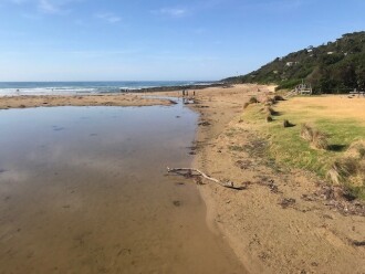
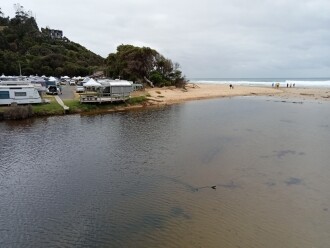
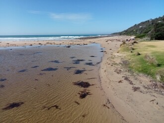
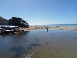
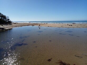
The estuary is home to the vulnerable Tasmanian Mudfish which bury themselves beneath logs or stones during dry summers. The estuary is approximately 1km in length |
| Estuary Values |
|
| Estuary Threats |
|
| Data | Site observations |
| Status | Active |
| Monitor group | Wye River EstuaryWatchers |
Sites
| Site details | Options |
|---|---|
Wy1 Fishing platformInactive Physico-Chemical 06-07-2014 - 29-03-2019Fishing platform upstream of the GOR bridge in Wye River. Measurements are taken from the fish ruler. |
Observations 9 |
WY2 Wye River Upper Phys.ChemActive Physico-Chemical 23-11-2018 - 29-03-2019 |
Observations 6 |
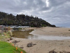
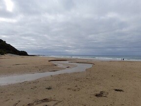
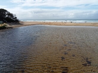
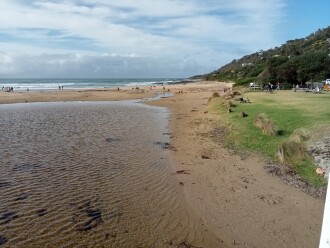
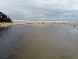
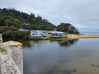
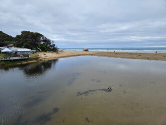
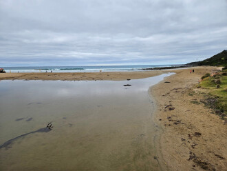
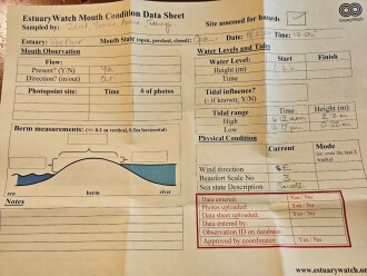
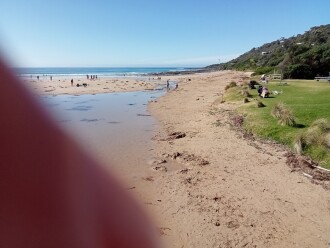
WyMC Wye River Mouth ConditionActive Mouth Condition 20-01-2007 - 19-01-2025A small steep catchment, the Wye River passes through the township of Wye River and flows under the Great Ocean Road. |
Observations 299 |
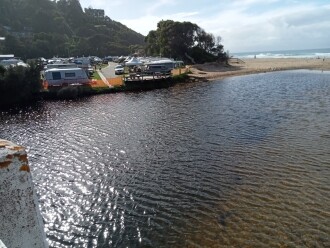
Wyp1 Wye River Photopoint 1Active Photopoint 02-12-2012 - 18-11-2024Photos are taken from the footpatth on the ocean side of the Great Ocean Bridge between the second and third post counting from the eastern end of the bridge. |
Photos 547 |
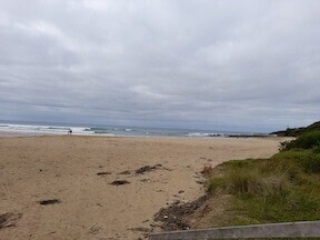
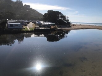
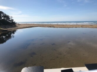
Wyp2 Wye River Photopoint 2Active Photopoint 23-02-2021 - 27-01-2025July 2021 - Walk to the south eastern end of the Great Ocean Bridge ie beach entrance end on the ocean side of the road bridge. Look for pencil markings on the top rail between 4th and 5th posts. Lat -38.63436 Long 143.89103 April 2024 - bridge works. WyP2 is the code for a relocated photopoint site temporarily used while bridge is under construction. Field visit with EW volunteers on Fri26/4/24 identified new location at wooden stair access to beach Lat -38.634841, Long 143.891092 - see photo below |
Photos 234 |
Mouth Condition Snapshots
19-01-2025 #16699
05-01-2025 #16698
15-12-2024 #16614
01-12-2024 #16603
17-11-2024 #16561
03-11-2024 #16560
20-10-2024 #16518
06-10-2024 #16488
15-09-2024 #16447
01-09-2024 #16394
18-08-2024 #16374
04-08-2024 #16351
21-07-2024 #16337
07-07-2024 #16281
16-06-2024 #16233
02-06-2024 #16200
18-05-2024 #16189
05-05-2024 #16157
21-04-2024 #16124
07-04-2024 #16104
17-03-2024 #16062
03-03-2024 #16051
18-02-2024 #16050
04-02-2024 #15996

All content, files, data and images provided by the EstuaryWatch Data Portal and Gallery are subject to a Creative Commons Attribution License
Content is made available to be used in any way, and should always attribute EstuaryWatch and www.estuarywatch.org.au


