EstuaryWatch Data Portal
Overview
| Estuary name | Anglesea River Estuary |
|---|---|
| CMA | Corangamite CMA |
| Description |
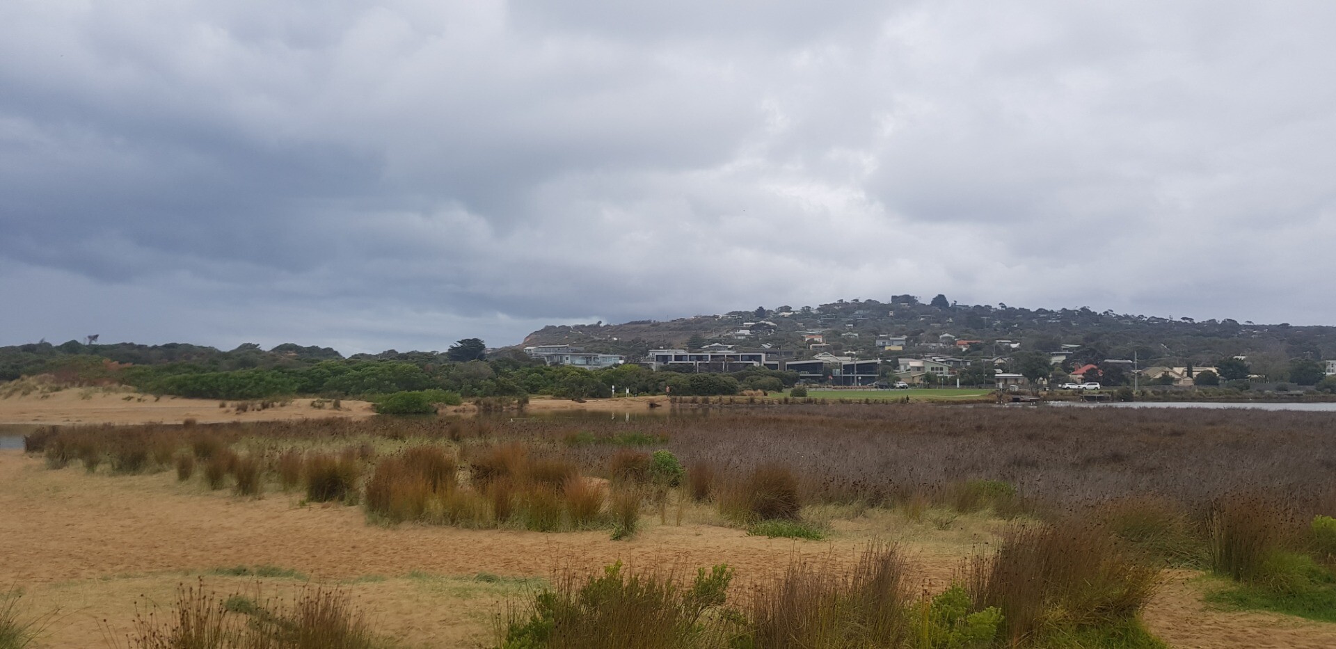
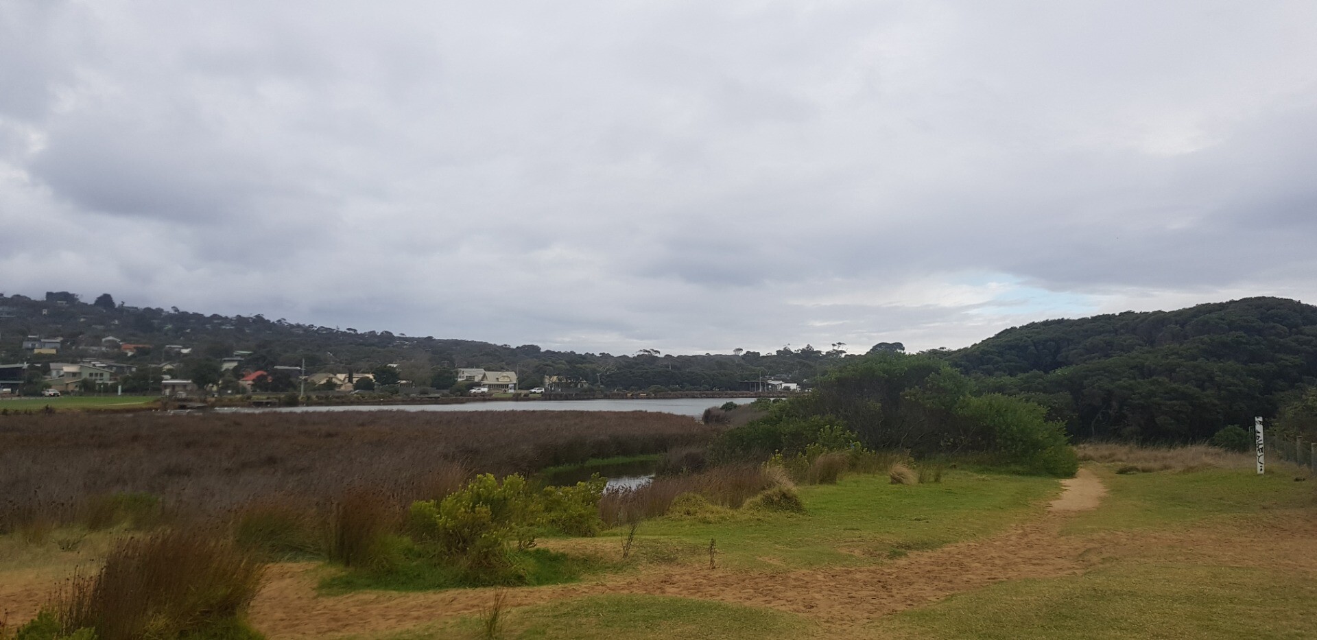
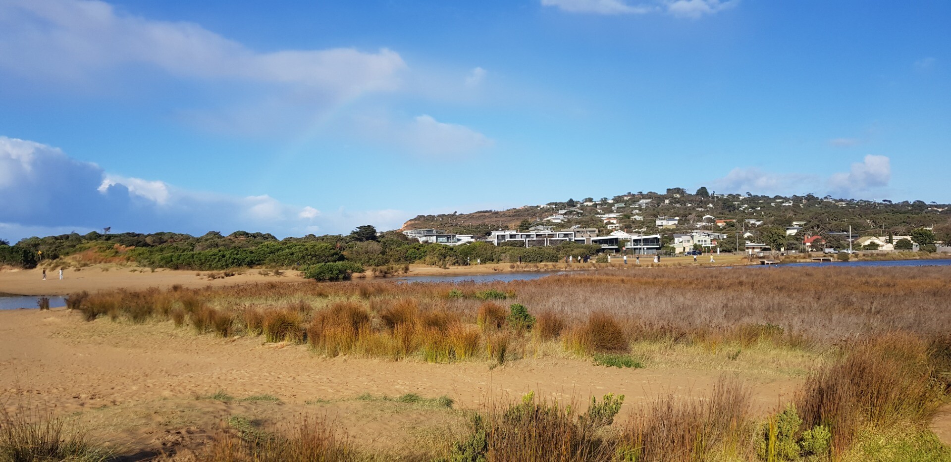
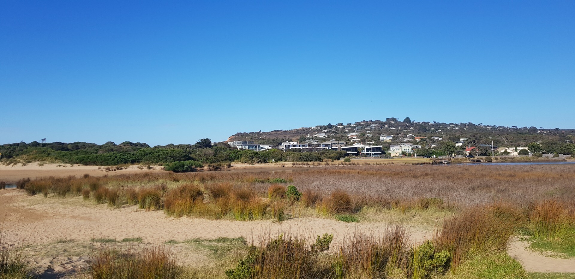
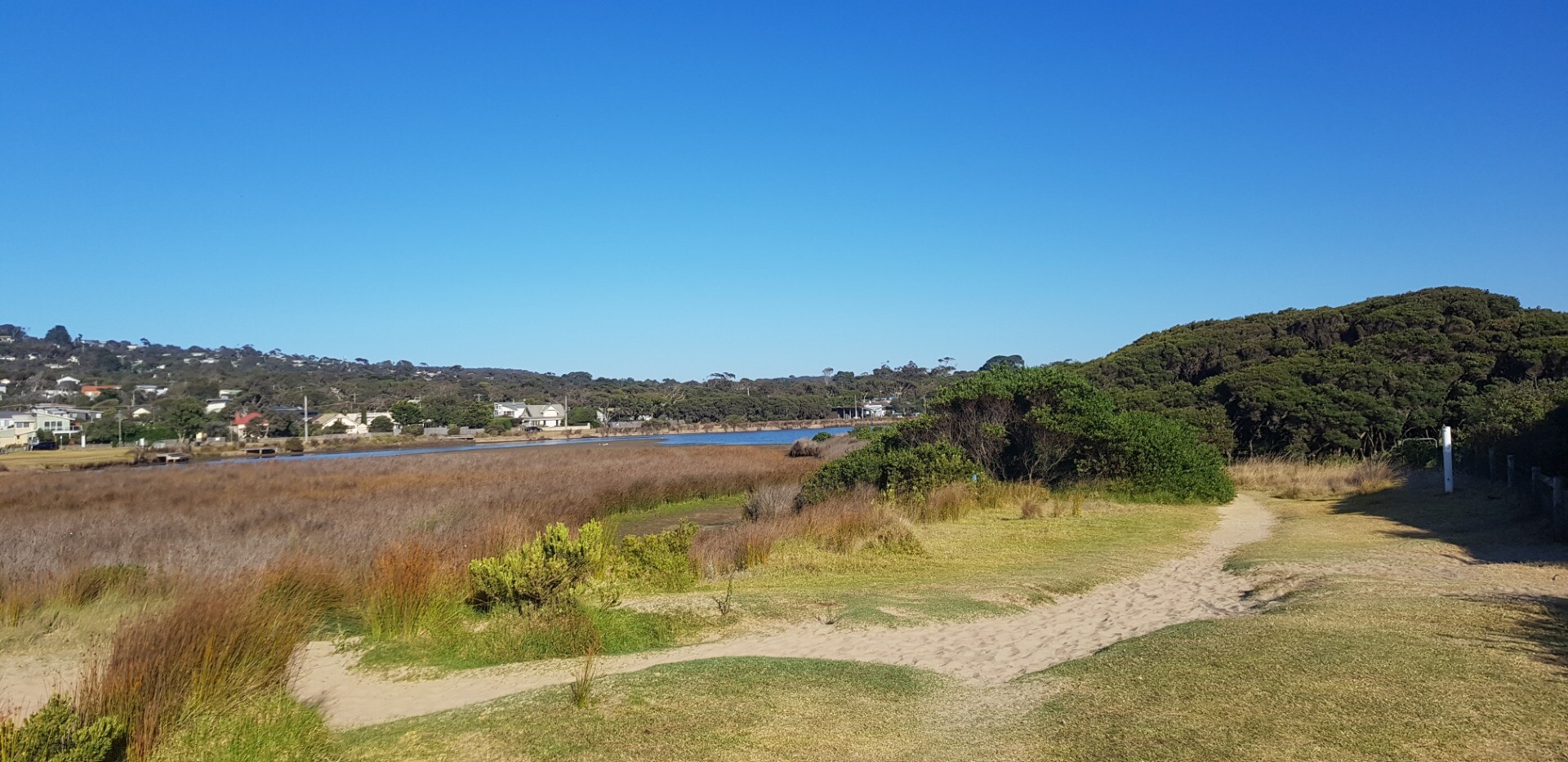
The Anglesea River Estuary is approximately 2.618km in length with a catchment area of 885.1 Ha. There are extensive boardwalks, bridges and trails around the estuary which provide many opportunities to get up close to the estuary. |
| Estuary Values |
|
| Estuary Threats |
|
| Data | Site observations |
| Status | Active |
| Monitor group | Anglesea River EstuaryWatchers |
| Document | 10987_ANGLESEA_RIVER_ESTUARY_MANAGMENT_PLAN.pdf |
| Document | Anglesea River Estuary Fact Sheet |
Sites
| Site details | Options |
|---|---|
A1 Jetty opposite Angahook Corner StoreActive Physico-Chemical 29-04-2007 - 18-12-2024Sampling from Jetty opposite Minifie Avenue/ Angahook Cafe, adjacent to the information centre. |
Observations 194 |
A2 Fishing platform upstream of Great Ocean Rd BridgeActive Physico-Chemical 29-04-2007 - 18-12-2024Fishing Platform upstream of the Great Ocean Road bridge and boat houses located on the western bank. |
Observations 201 |
A3 Footbridge near Bingley ParadeActive Physico-Chemical 29-04-2007 - 18-12-2024Footbridge that crosses estuary. |
Observations 208 |
A4 Footbridge adjacent to Coogarah ParkActive Physico-Chemical 29-04-2007 - 18-12-2024Footbridge located adjacent to Coogarah Park. |
Observations 184 |
A5 Culvert on Coalmine RoadActive Physico-Chemical 29-04-2007 - 18-12-2024Culvert on Coalmine Road. |
Observations 178 |
AGB Anglesea Water Level Gauge BoardActive Gauge BoardThe gauge board is located under the GOR bridge. Measurements are taken from the inland side of the bridge, off the western bank. |
|
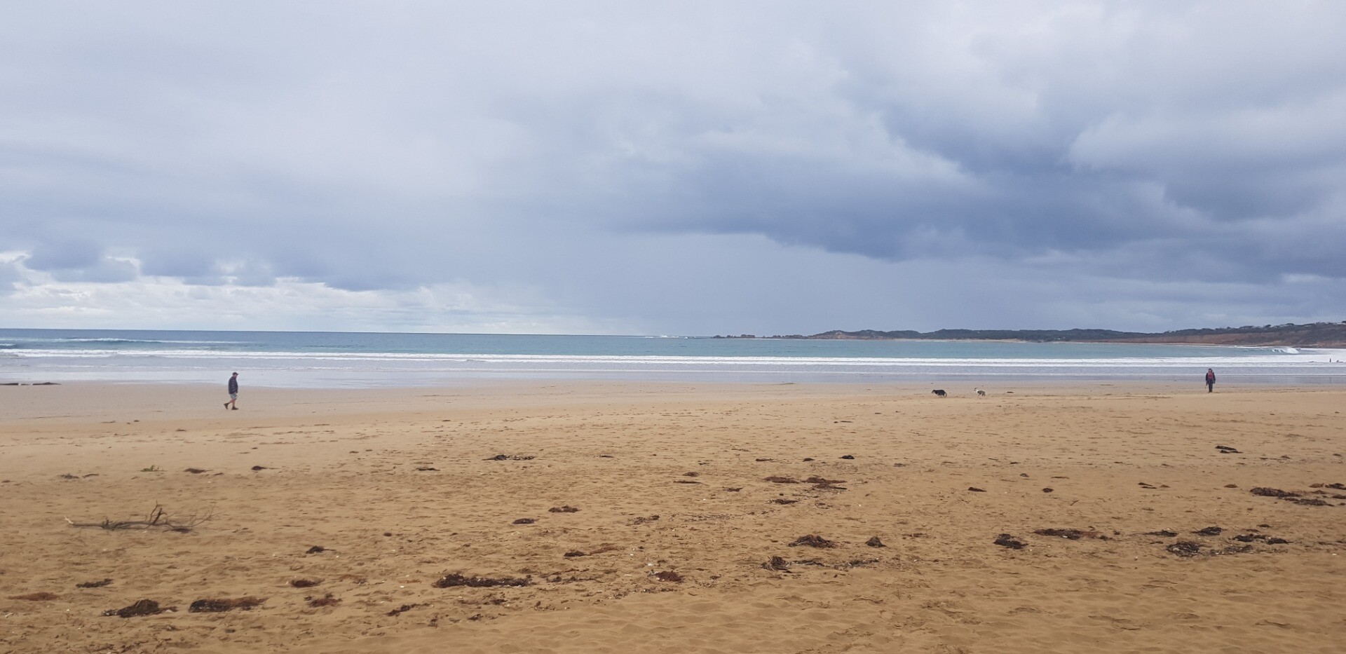
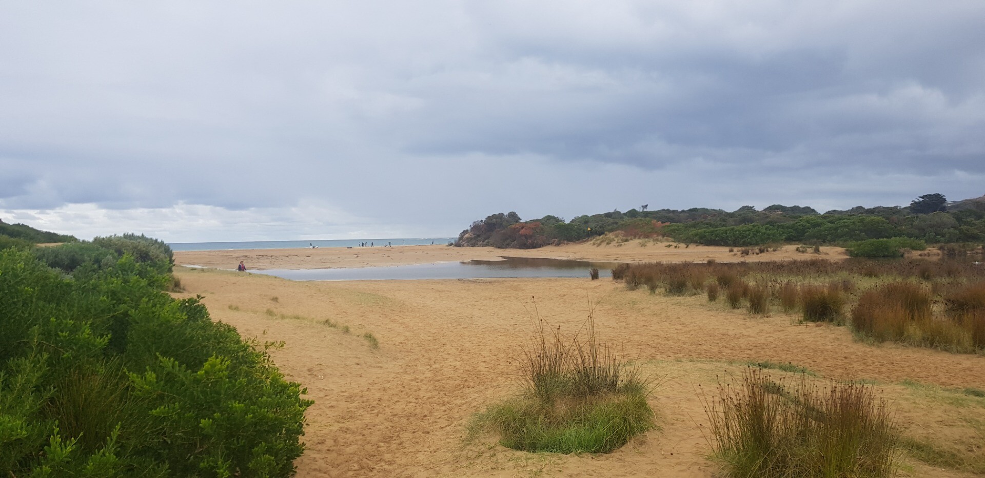
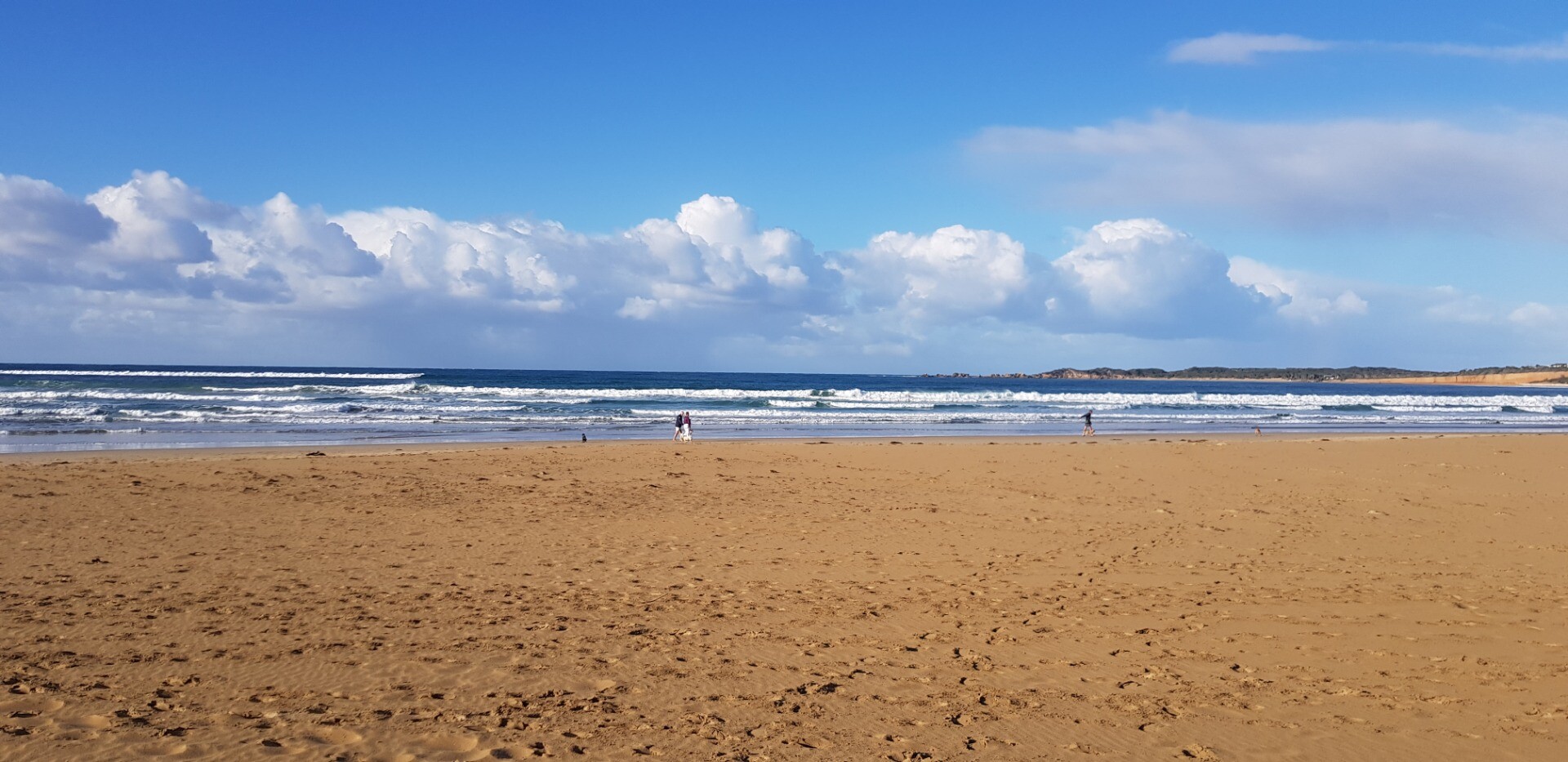
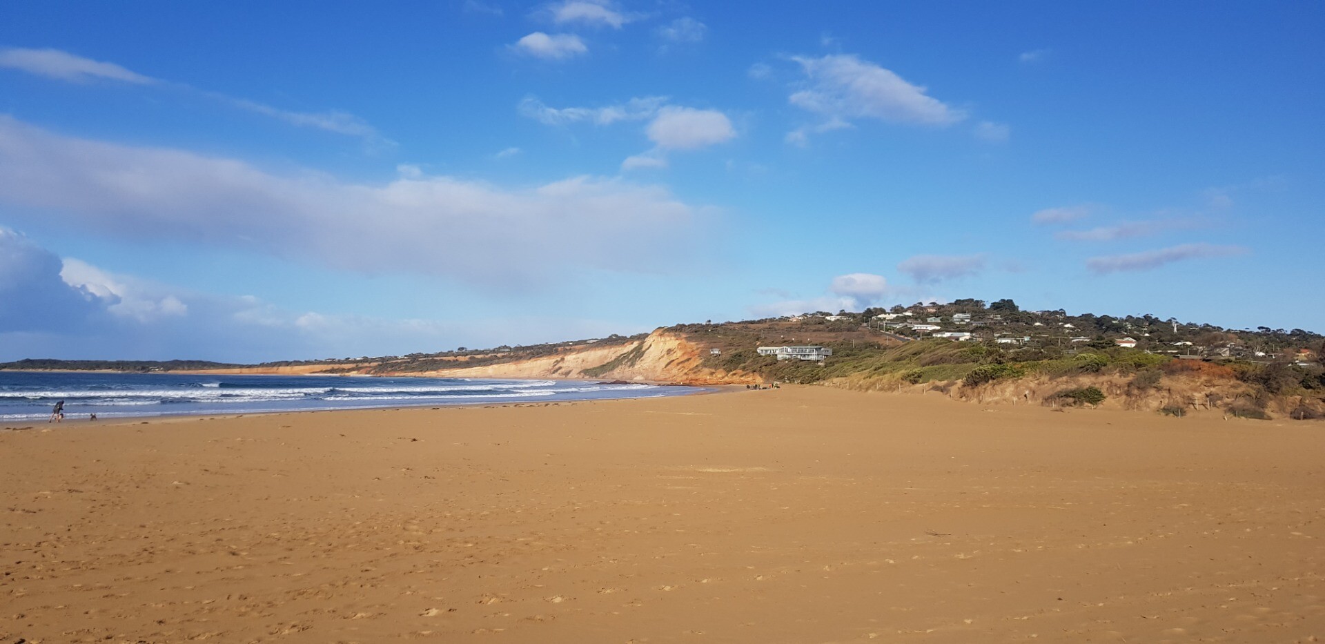
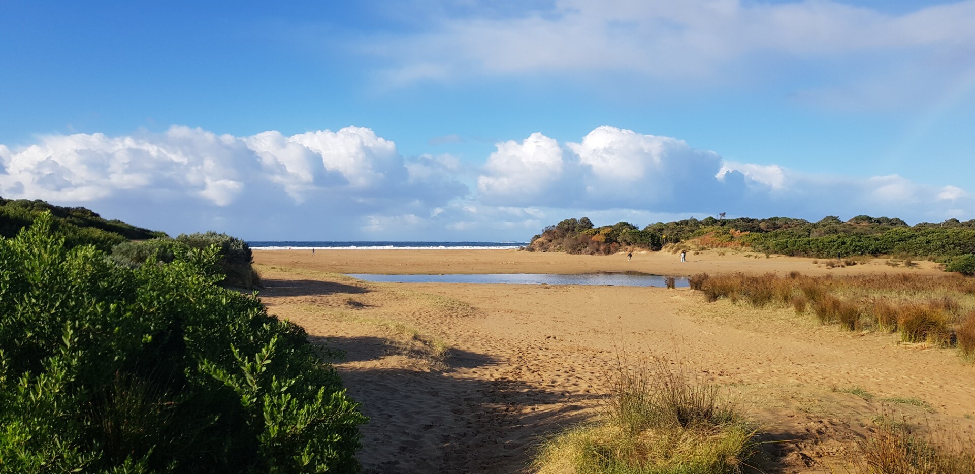
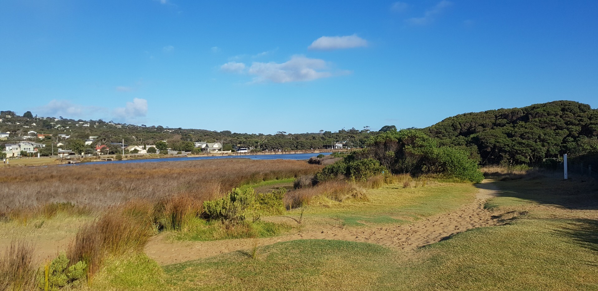
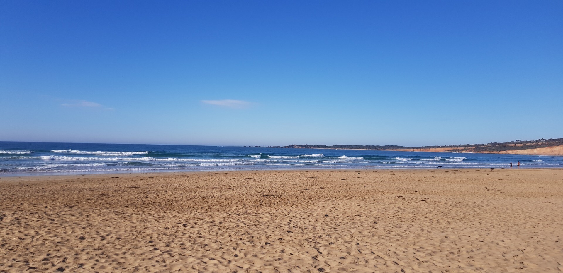
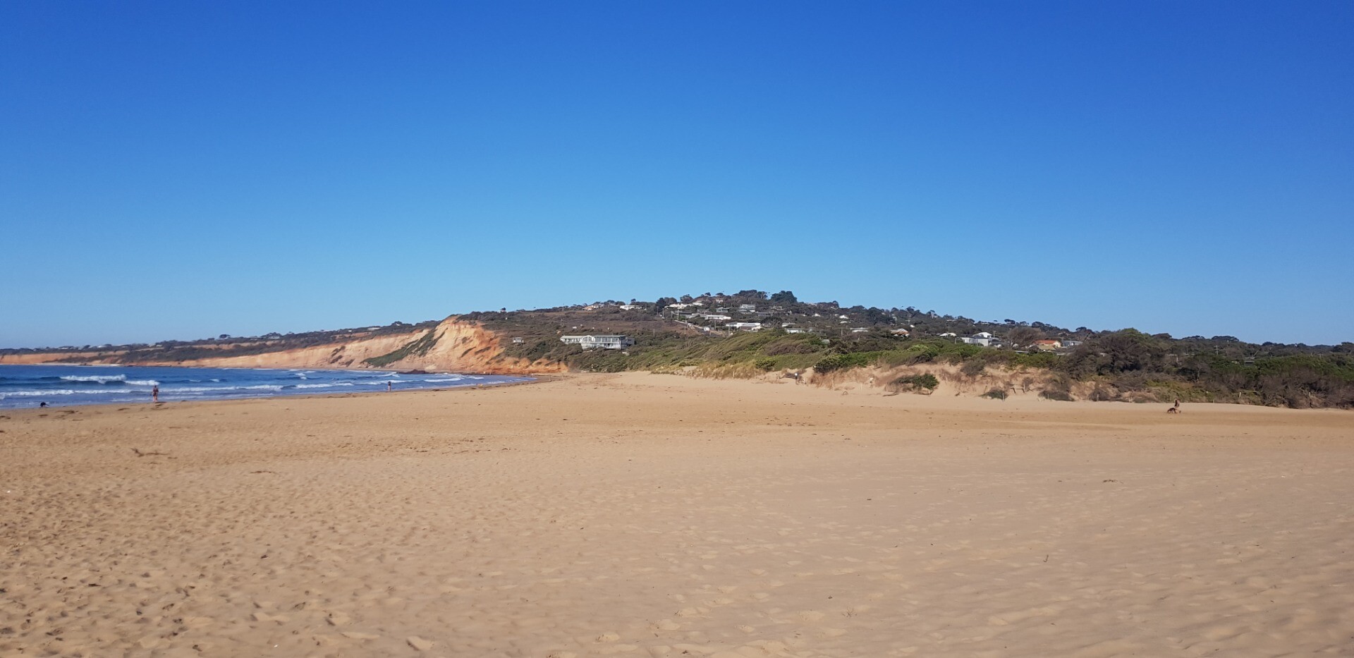
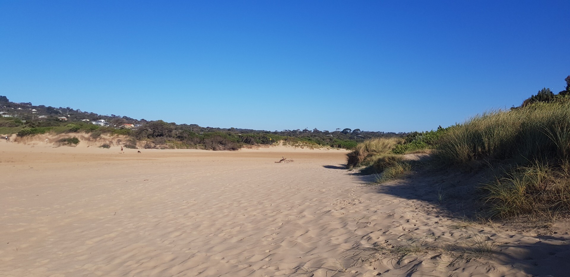
AMC Anglesea River Estuary Mouth Observation SiteActive Mouth Condition 17-04-2007 - 18-12-2024Small sand dune hillock on eastern side of estuary mouth |
Observations 253 |
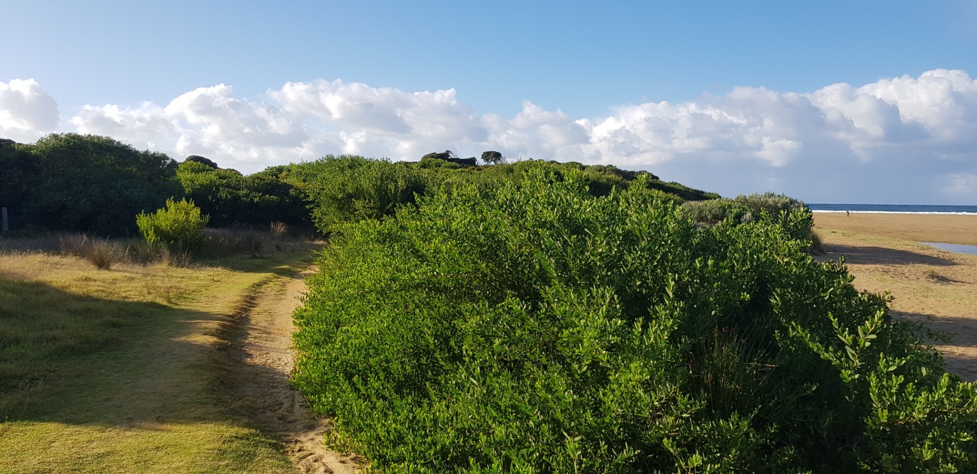
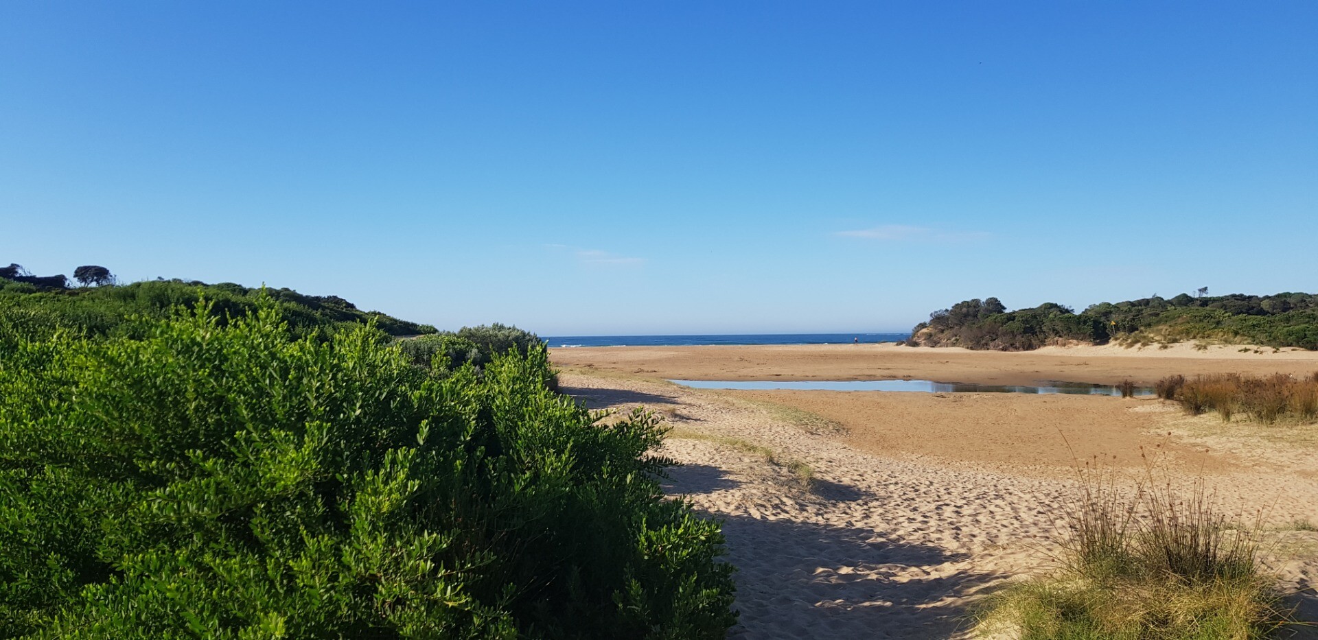
Ap1 Anglesea River Estuary Mouth PhotopointActive Photopoint 10-05-2008 - 22-12-2024Adjacent to eastern bank of river mouth, southern most point. |
Photos 547 |
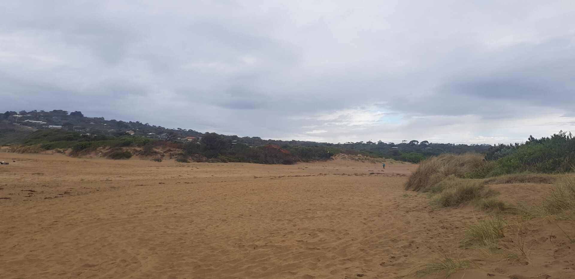
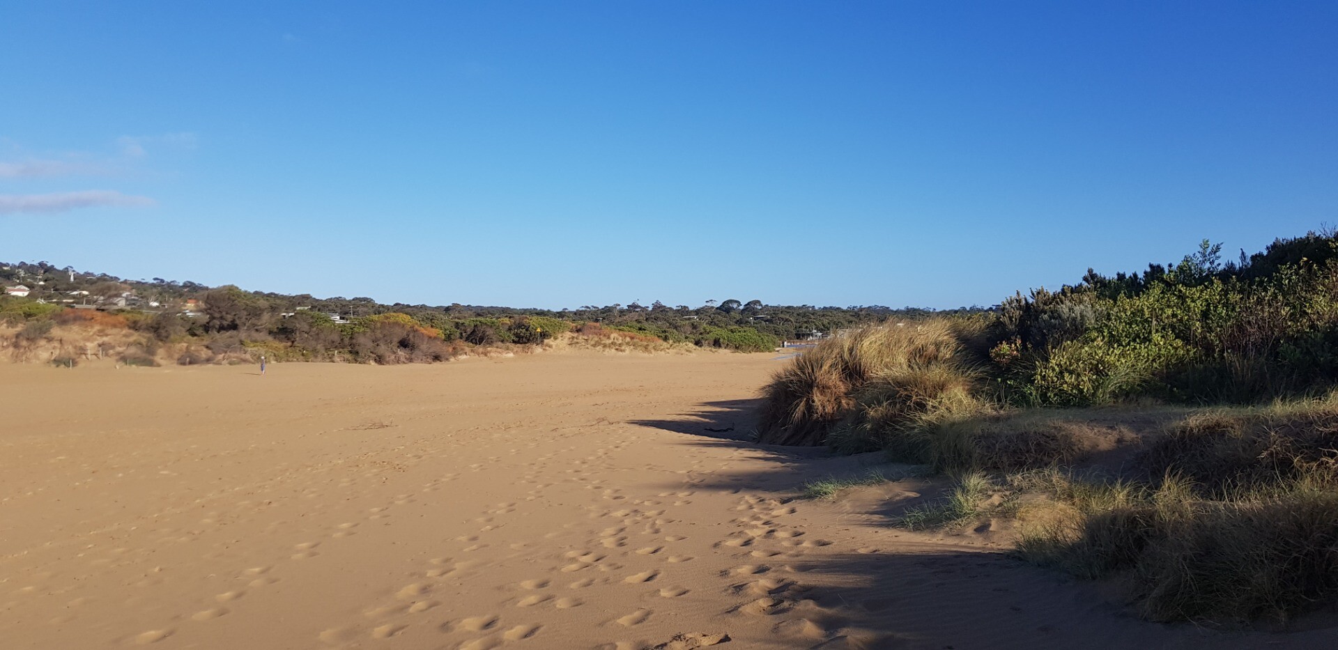
Ap2 Anglesea River Estuary Mouth Photopoint 2Retired Photopoint 31-08-2008 - 14-10-2024Exit point of walking track onto estuary/beach. SW corner of Anglesea Family Holiday Park. |
Photos 328 |
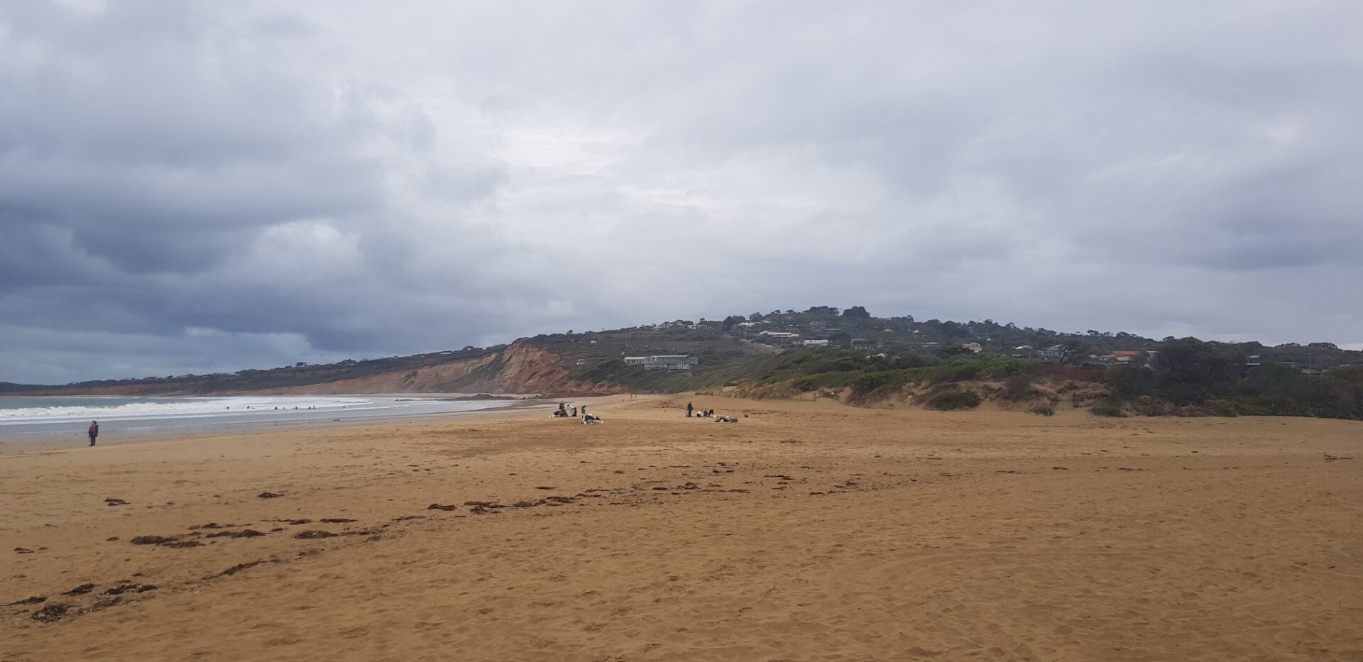
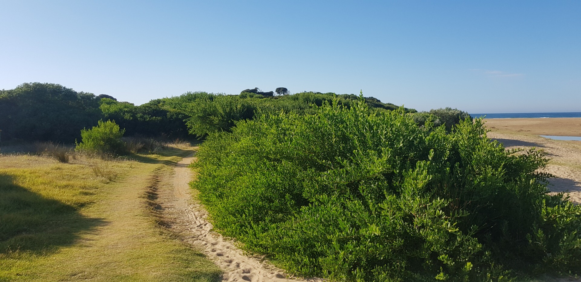
Ap3 Anglesea River Estuary Mouth Photopoint 3Active Photopoint 25-11-2016 - 22-12-2024Photo is taken from the Anglesea Rivermouth (East) signage W89 that sits next to the walking track that follows the river. |
Photos 300 |
Mouth Condition Snapshots
18-12-2024 #16623
Photopoint Ap1-1


Photopoint Ap3-1


20-11-2024 #16565
Photopoint Ap1-1


Photopoint Ap3-1


16-10-2024 #16512
Photopoint Ap1-1


Photopoint Ap3-1


18-09-2024 #16457
Photopoint Ap1-1


Photopoint Ap3-1


29-08-2024 #16504

Photopoint Ap1-1


Photopoint Ap2-1


21-08-2024 #16378
Photopoint Ap1-1


Photopoint Ap3-1


17-07-2024 #16285

Photopoint Ap1-2


Photopoint Ap3-1


19-06-2024 #16210
Photopoint Ap1-1


Photopoint Ap3-1


15-05-2024 #16173
Photopoint Ap1-1


Photopoint Ap3-1


17-04-2024 #16131
20-03-2024 #16072
Photopoint Ap1-2
Photopoint -
Photopoint Ap3-1
21-02-2024 #16027
Photopoint Ap1-1
Photopoint Ap3-1
05-02-2024 #16230
Photopoint Ap1-1


All content, files, data and images provided by the EstuaryWatch Data Portal and Gallery are subject to a Creative Commons Attribution License
Content is made available to be used in any way, and should always attribute EstuaryWatch and www.estuarywatch.org.au