EstuaryWatch Data Portal
Overview
| Estuary name | Merriman Creek |
|---|---|
| CMA | West Gippsland CMA |
| Description |
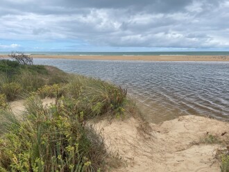
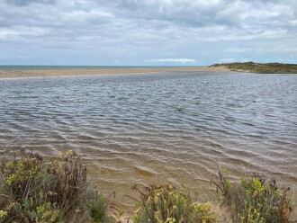
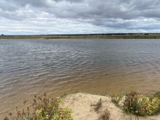
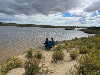
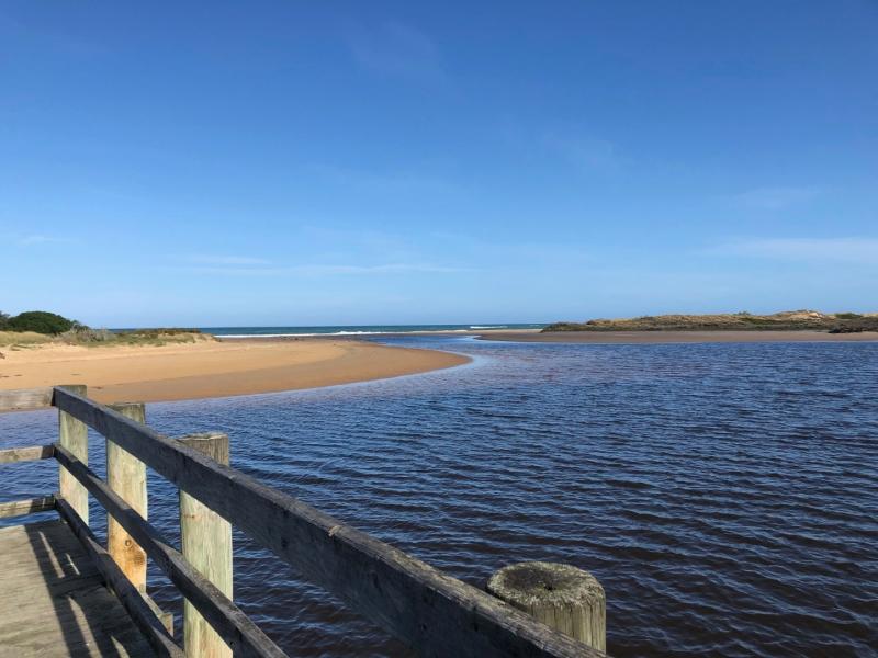
Merriman Creek is a small creek estuary, flowing from the Strzelecki Ranges through intensive grazing and plantation forestry areas, before flowing to Bass Strait adjacent to the township of Seaspray. Merriman Creek is a source of potable water supply. The estuary is a popular location for recreational activities and fishing and provides a diversity of habitat for birdlife and fish. The area has important Aboriginal cultural heritage values for the Gunaikurnai people. |
| Estuary Values |
|
| Estuary Threats |
|
| Data | Site observations |
| Status | Active |
| Monitor group | WGCMA Estuary Management Group |
|
|
Sites
| Site details | Options |
|---|---|
MC1 Merriman Creek - fishing platformActive Physico-Chemical 28-08-2020 - 22-10-2024Head to the end of Trodd Street and park in the Seaspray Public Purposes Reserve at the end of Trood Street Measure from the Fishing Platform closest to the mouth and furthest into the creek
|
Observations 67 |
MCMC Merriman Creek, Mouth Observation SiteActive Mouth Condition 18-09-2020 - 17-12-2024Merriman Creek flows out into the surf beach. Due to the intensity of the wave action, the creek can be 'pushed' via longshore drift further up along the beach due to the intensity of the wave action. This can then threaten built assets such as the ramp access onto the beach from the surf beach and beach access boardwalks. The site is popular with fishermen, kayakers and surfers a like. There has been concerns in the past of flooding, and some anecdotal evidence of concerned residents 'opening' the estuary themselves. Currently there is a height gauge and the site has active telemetry of stream height organised by the Wellington Shire. |
Observations 69 |
MCp1 Merriman Creek, PhotopointActive Photopoint 09-11-2020 - 20-01-2025Merriman Creek Estuary is a wave dominated estuary. Due to its location in a rain shadow it does not receive regular inundations but is known to close. Anecdotal evidence suggests concerned residents will open the estuary themselves if they see fit. A popular site for fishermen, surfers and kayakers alike.
|
Photos 260 |
Estuary Snapshots
The EstuaryWatch snapshots provide a summary of estuary condition on a particular day. For all EstuaryWatch Snapshots, photopoint photos and a longitudinal water quality profile from the estuary mouth to the inland extent is displayed. Read more
Spring 2024
Winter 2024
Autumn 2024

All content, files, data and images provided by the EstuaryWatch Data Portal and Gallery are subject to a Creative Commons Attribution License
Content is made available to be used in any way, and should always attribute EstuaryWatch and www.estuarywatch.org.au


