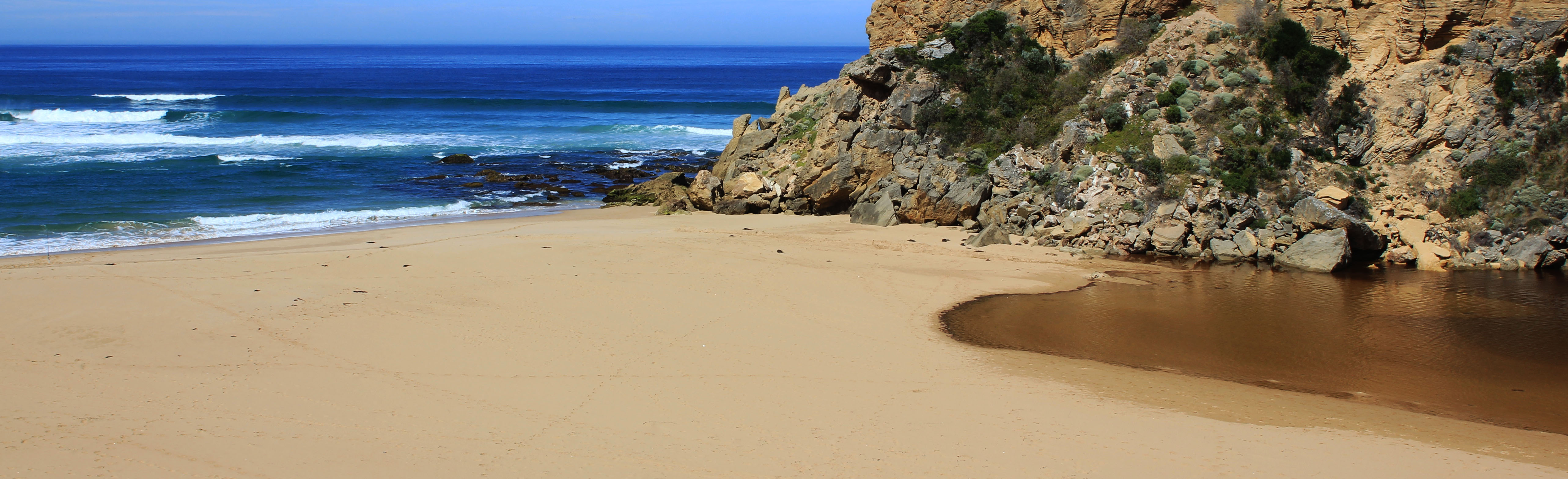
EstuaryWatch Data Portal
Estuary event details
| Estuary | Gellibrand River Estuary |
|---|---|
| Region | Corangamite CMA |
| Event type | Estuary Entrance Opening |
| Date and time | 6 February 2013 09:47am |
| Description |
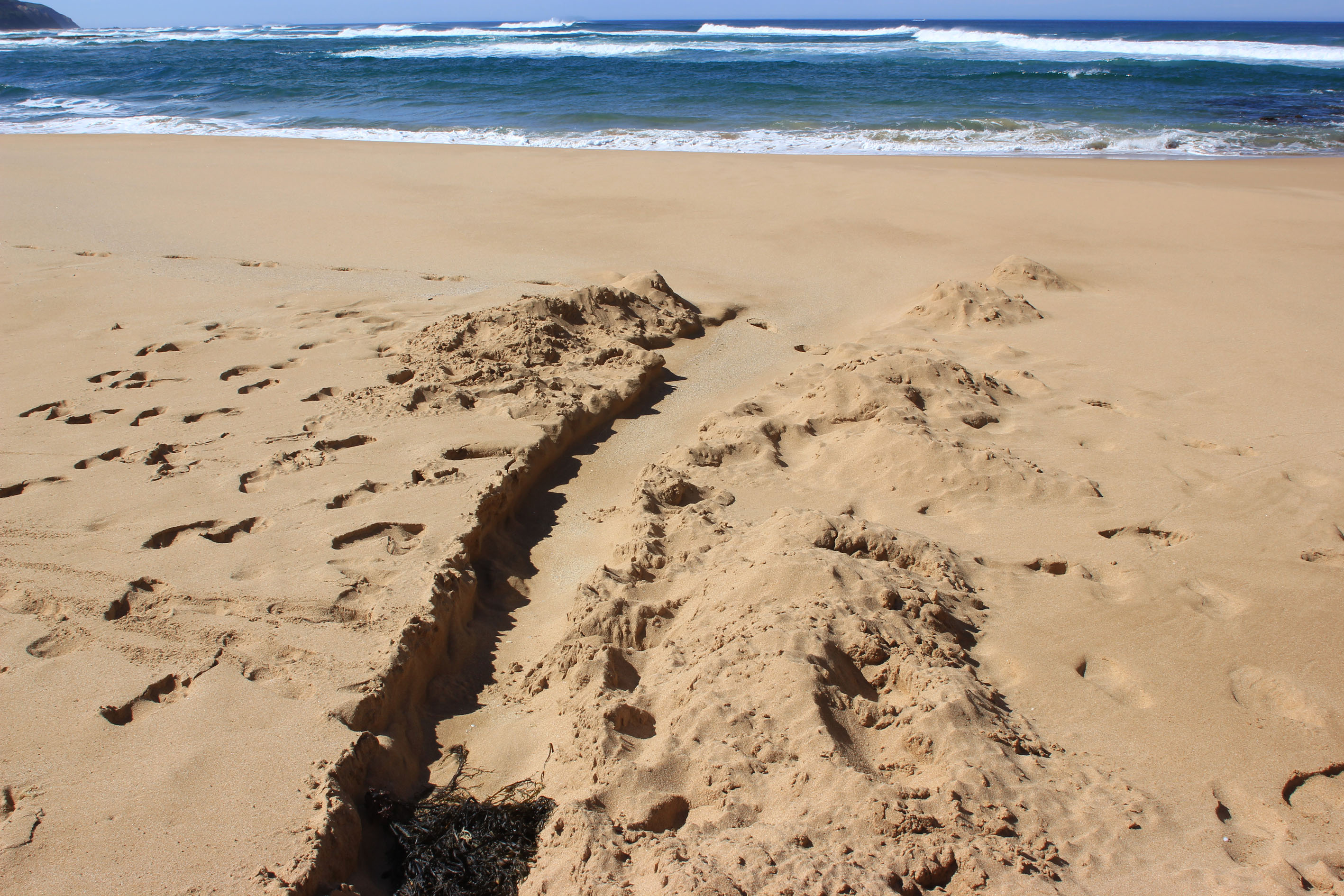
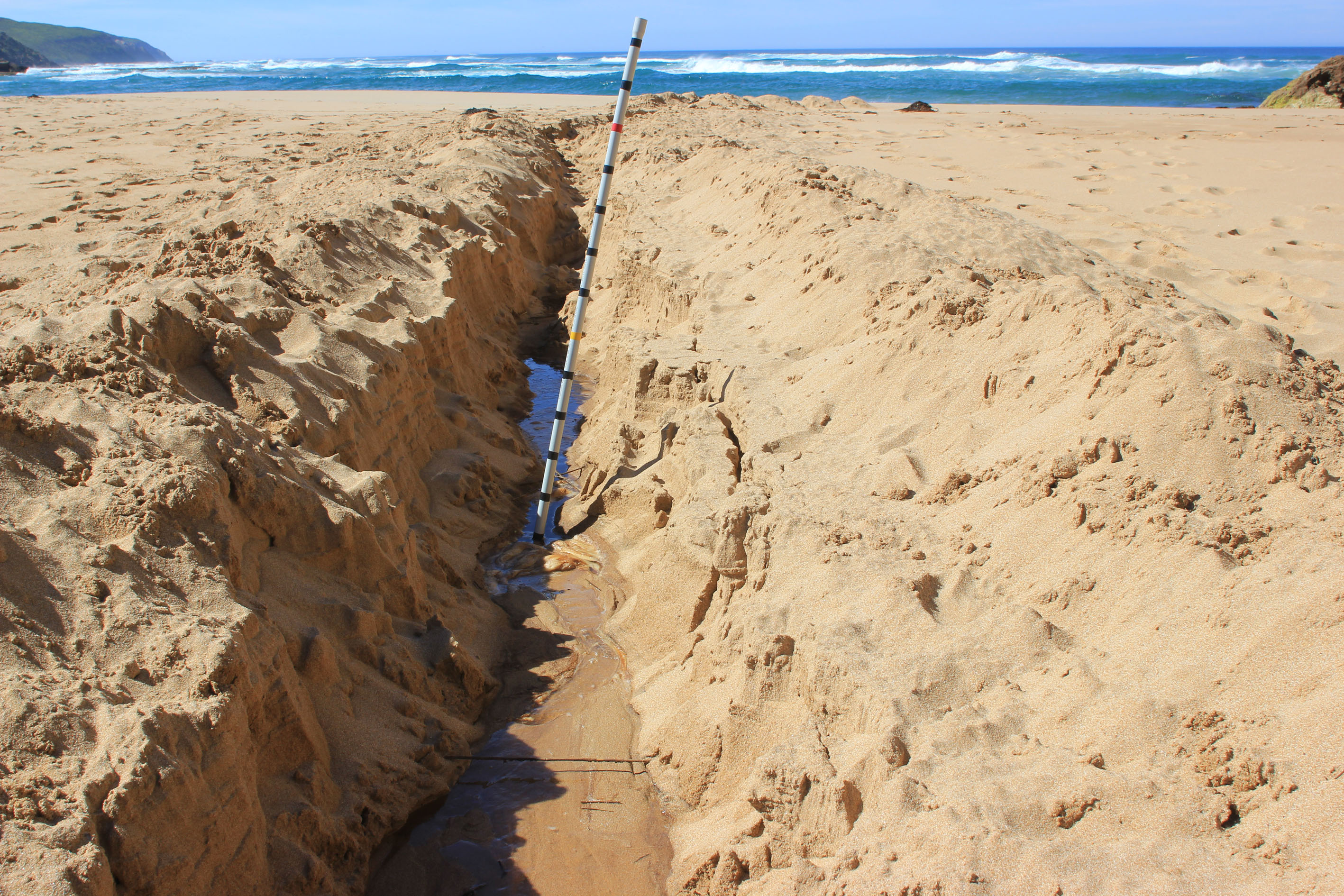
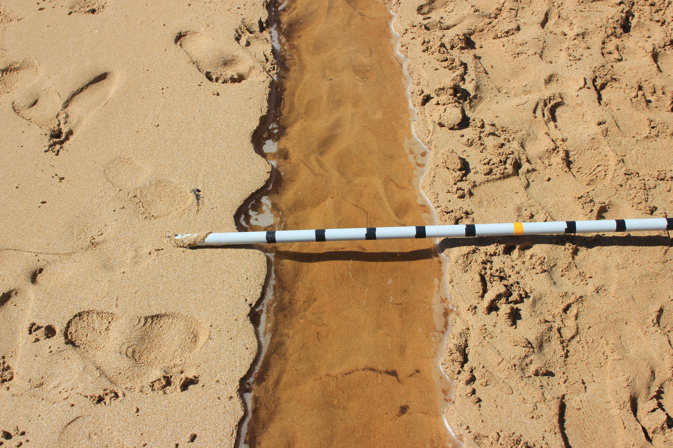
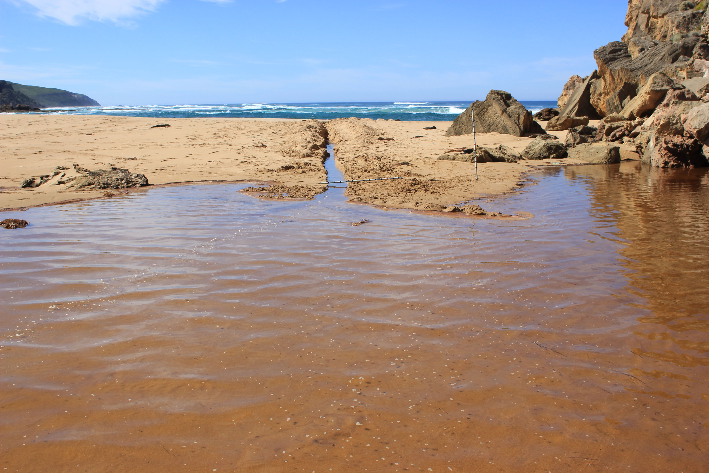
Illegal opening probably between10:30 05/02/13 & 06:00 06/02/13 There had been flow from estuary to sea as quite deep channel had formed (about 60cm deep x 30to 40 wide) Waves had filled the channel with sand from swash line to about mid berm Water still flowing halfway into channel but nothing beyond Berm above sea at low tide 80-90 cm Estuary 50cm Estuary to top of berm 22m. Sea ¿ ¿ 22m No water over OCR except in very deep area opp. Camp. ground ¿no water in camp ground Water to deck of fishing platform Water in small patches on top track (2cm. deep) Water only on edge of OOR 0.2 on flood marker No increase in flood level upstream Springs running along roadsides AHD G6 1.40 G2 1.43 1 dead Rockie & 1 small 20cm Trevally near mouth (Poss. Fishing reject) D.O levels at G2 are very strange ¿high D.O. to 2.00m below then 4.62 - 0.31 Data sheets/ photos to follow Bridge construction is underway with large crane. Judy |
Ge_20130206_IO_1655 copy
Ge_20130206_IO_1657 copy
Ge_20130206_IO_1659 copy
Ge_20130206_IO_1660 copy
Gp1_1670 copy

All content, files, data and images provided by the EstuaryWatch Data Portal and Gallery are subject to a Creative Commons Attribution License
Content is made available to be used in any way, and should always attribute EstuaryWatch and www.estuarywatch.org.au