EstuaryWatch Data Portal
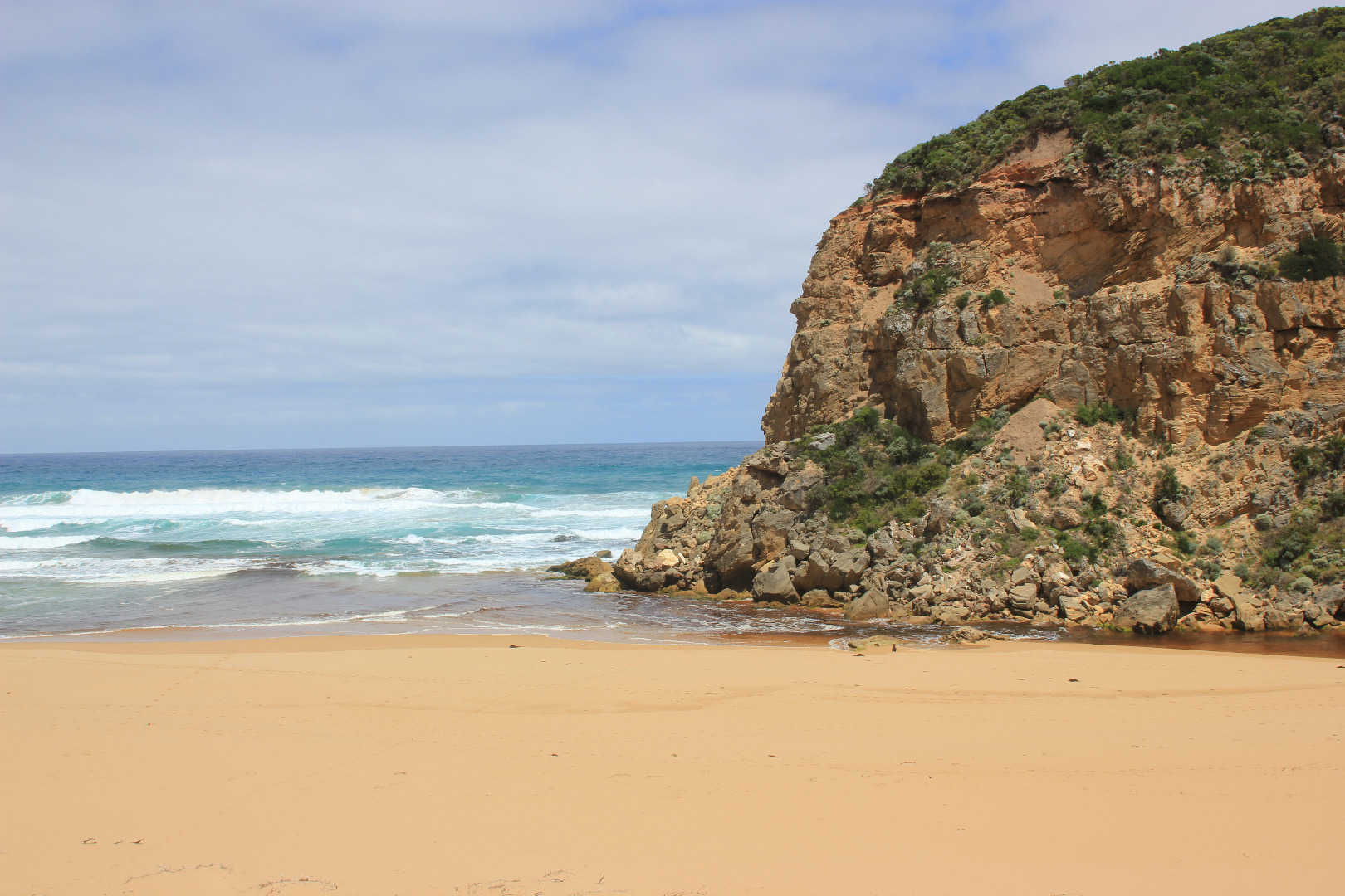
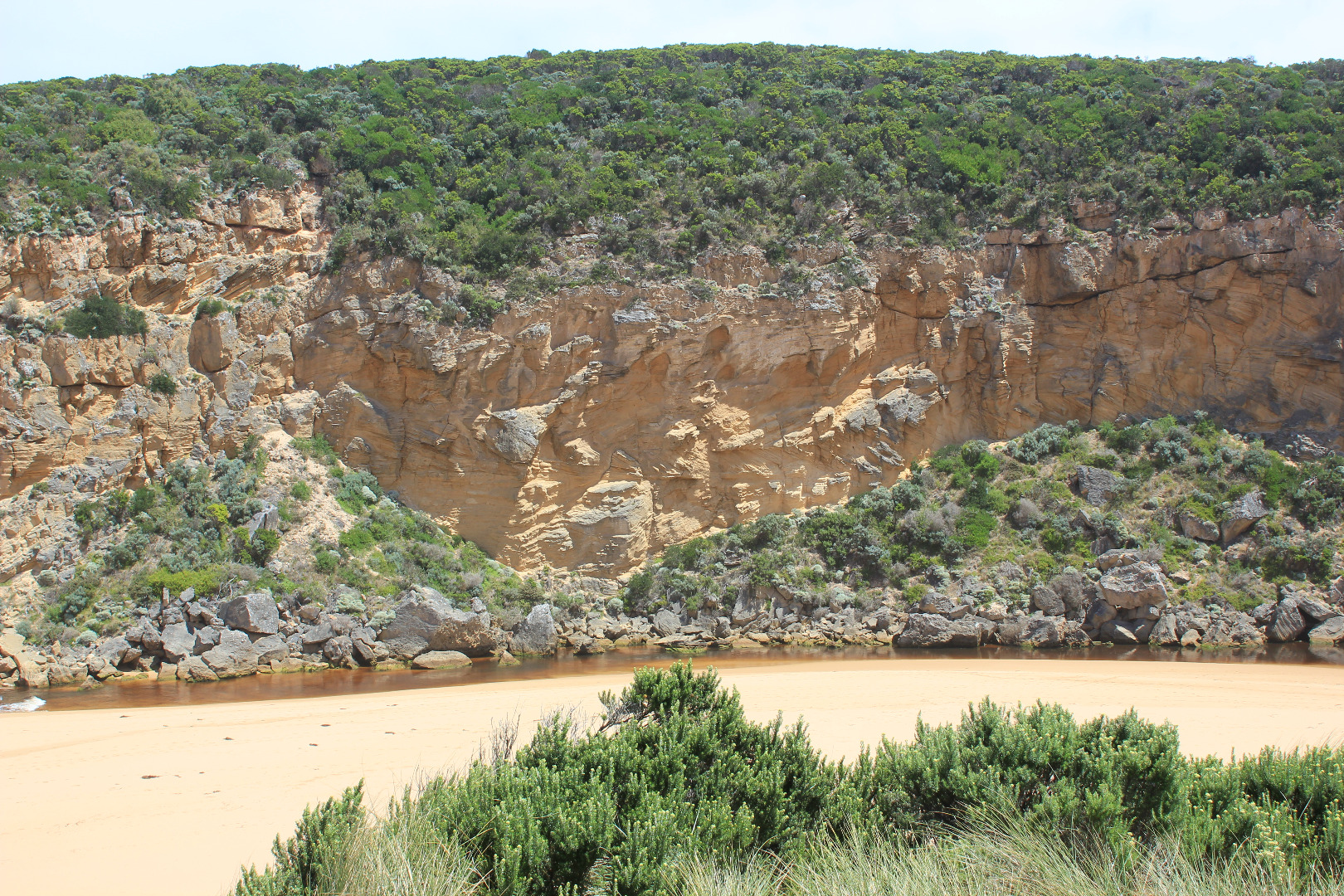
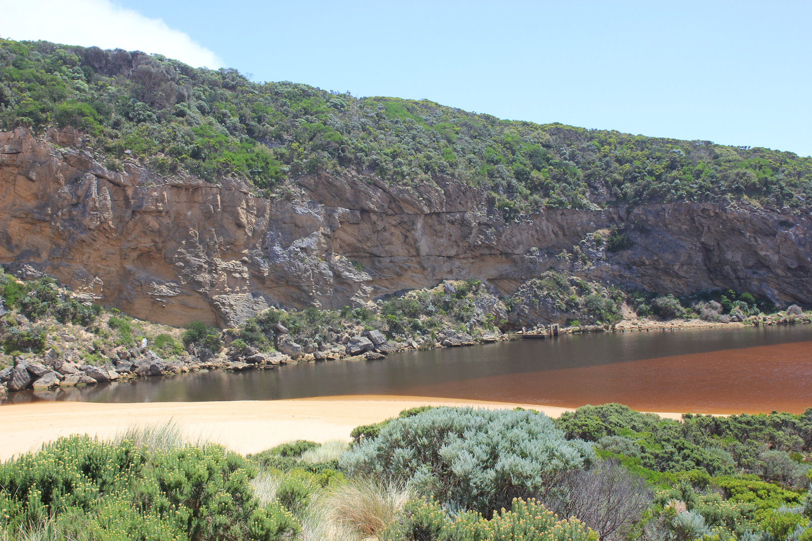
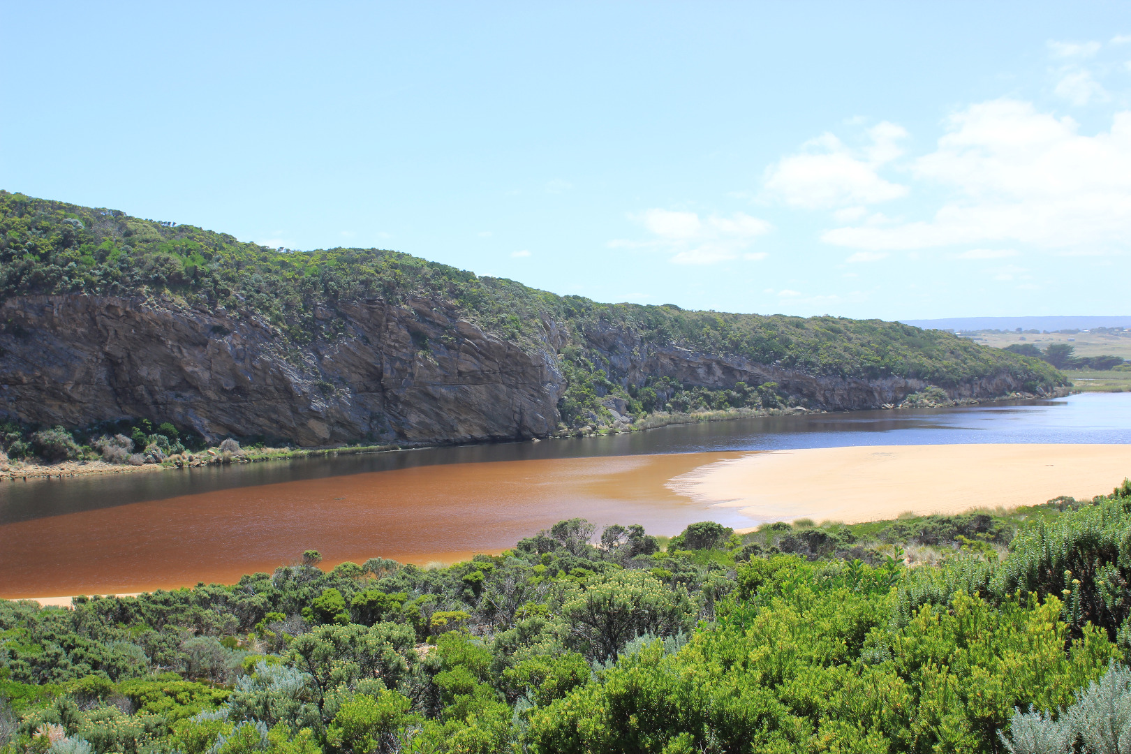
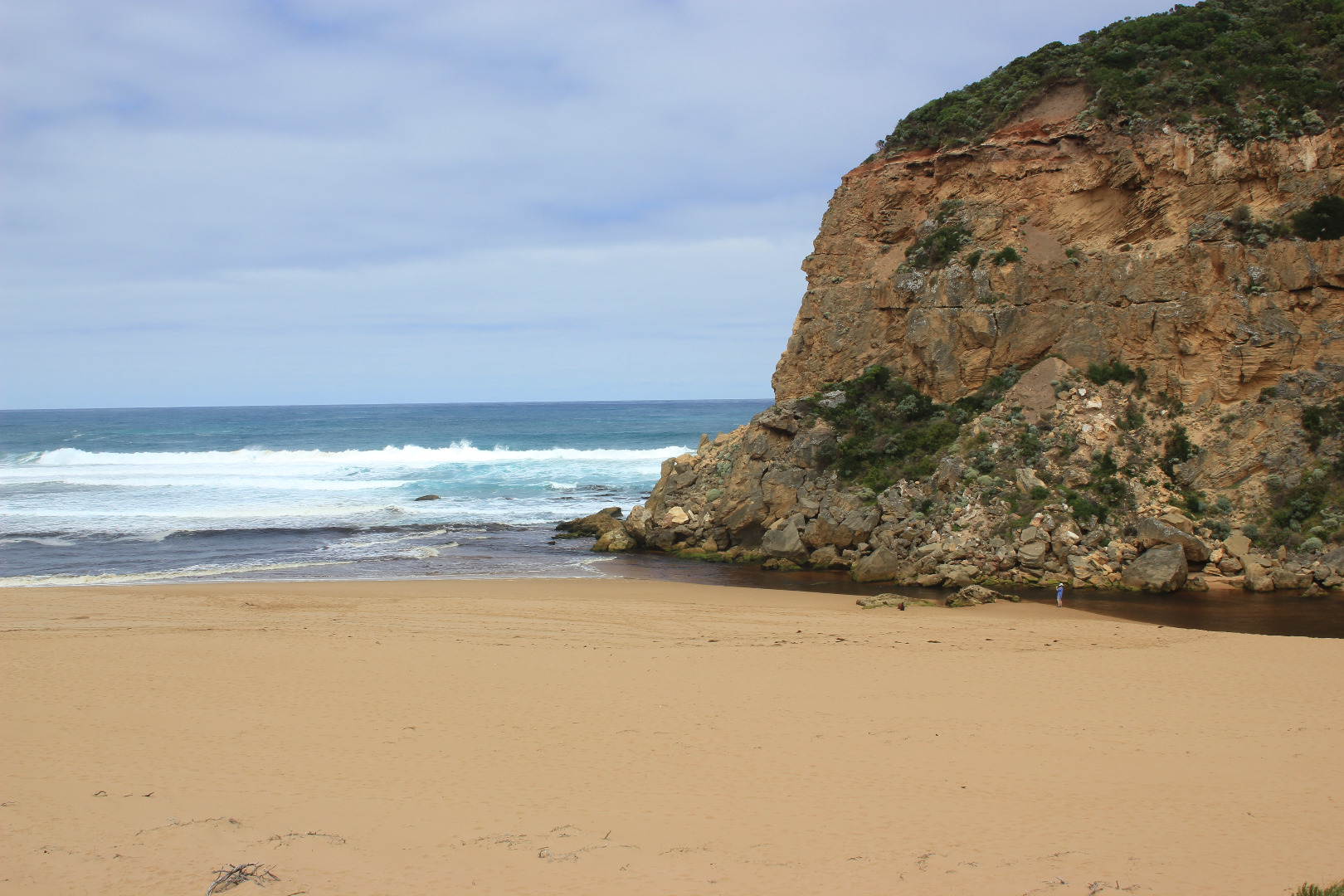
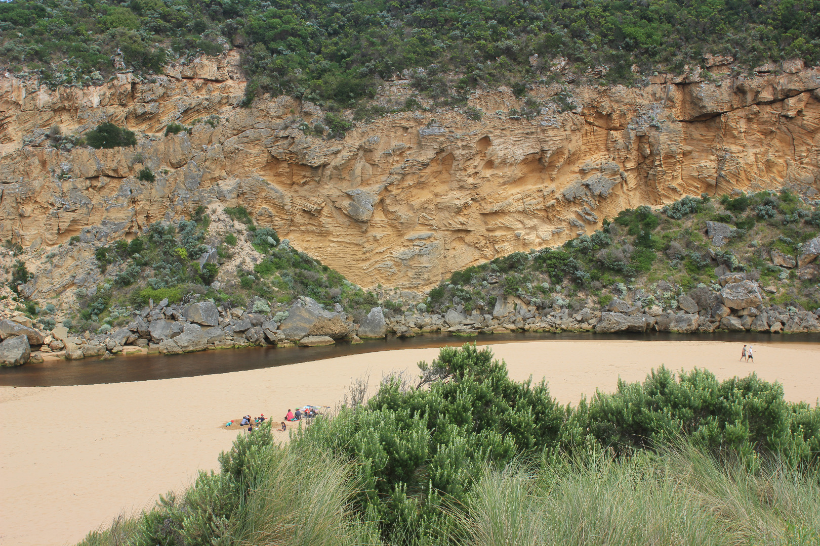
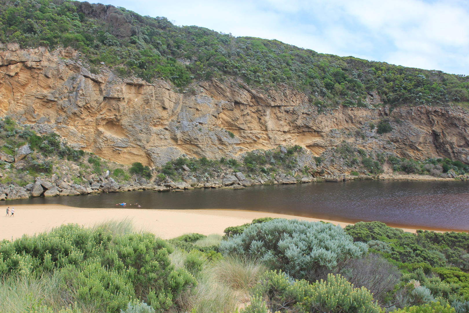
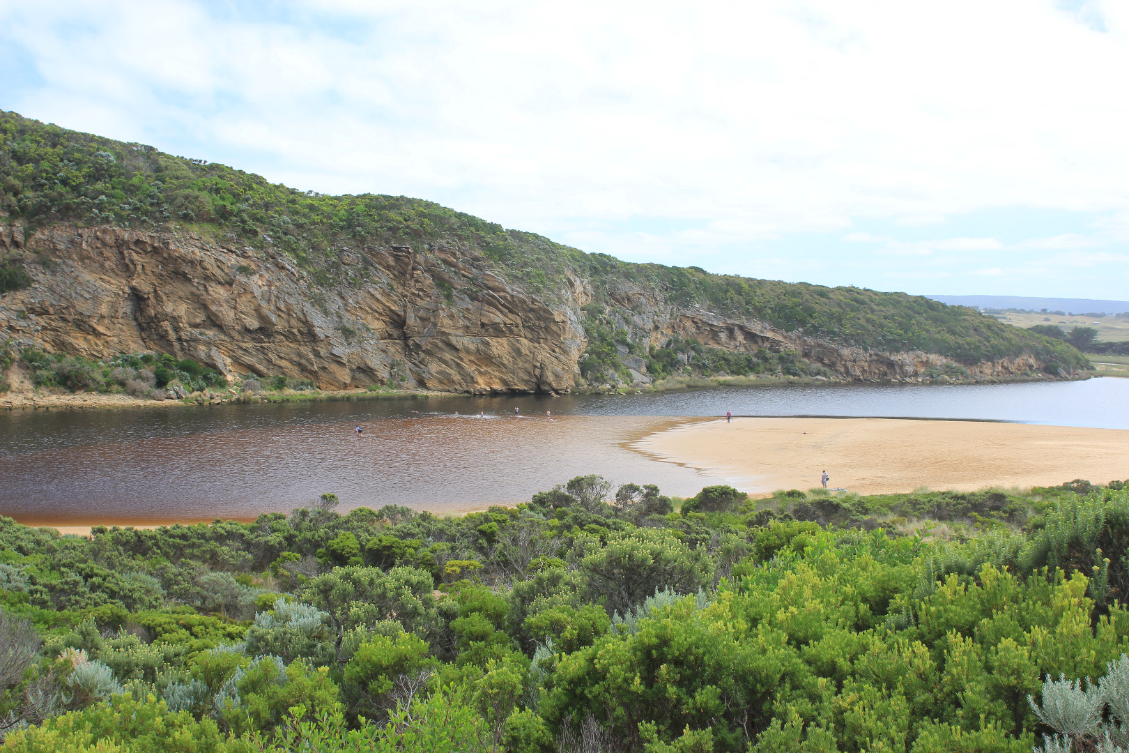
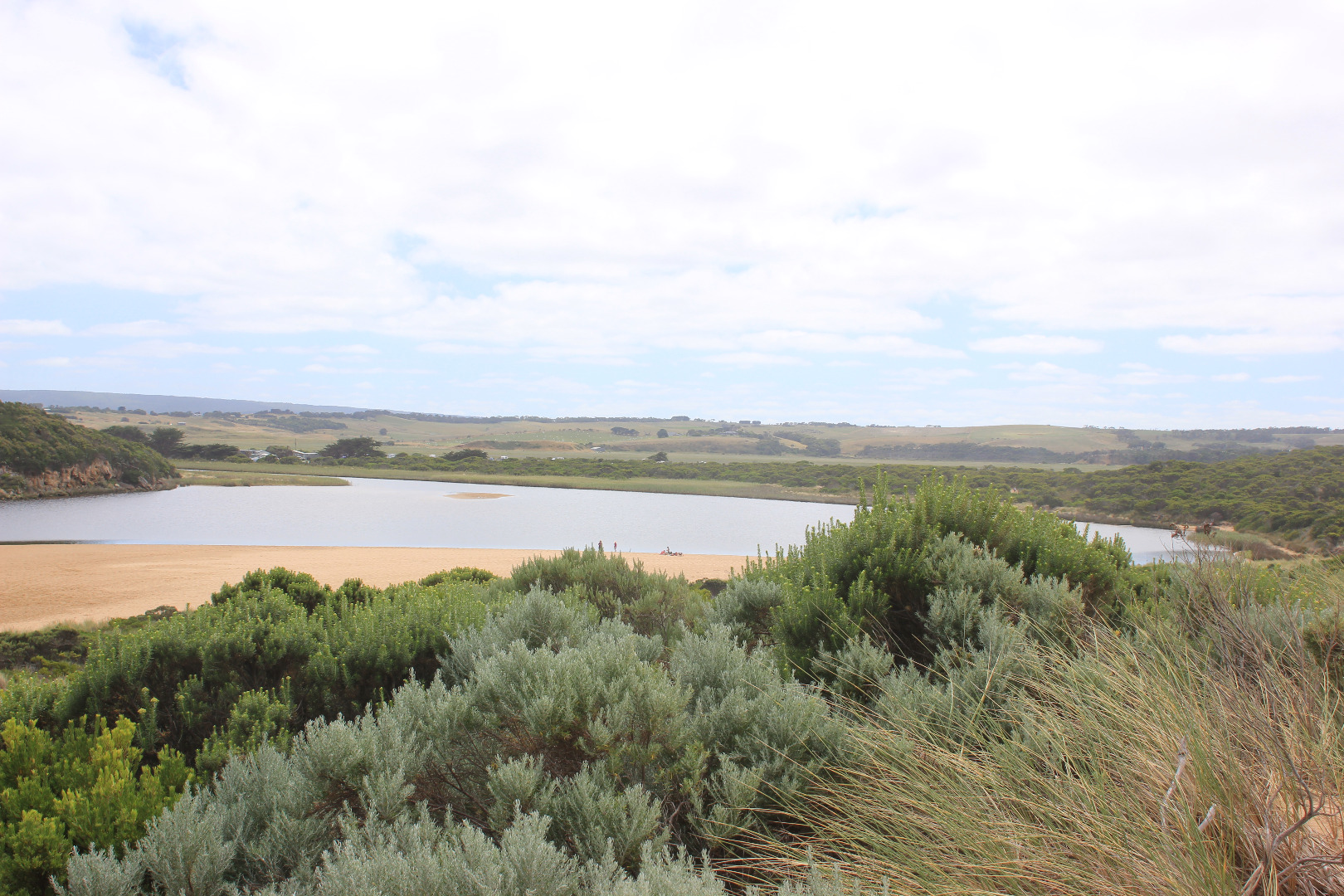
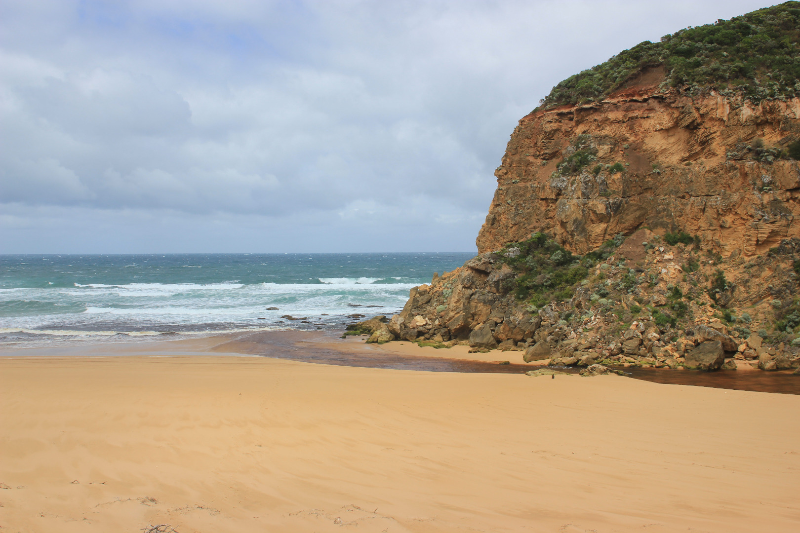
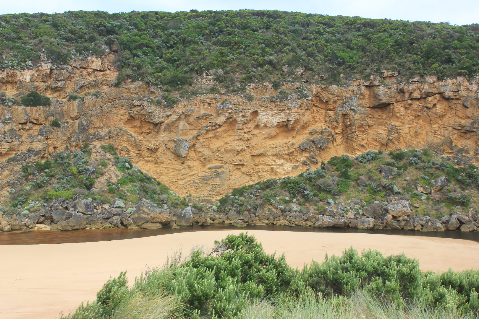
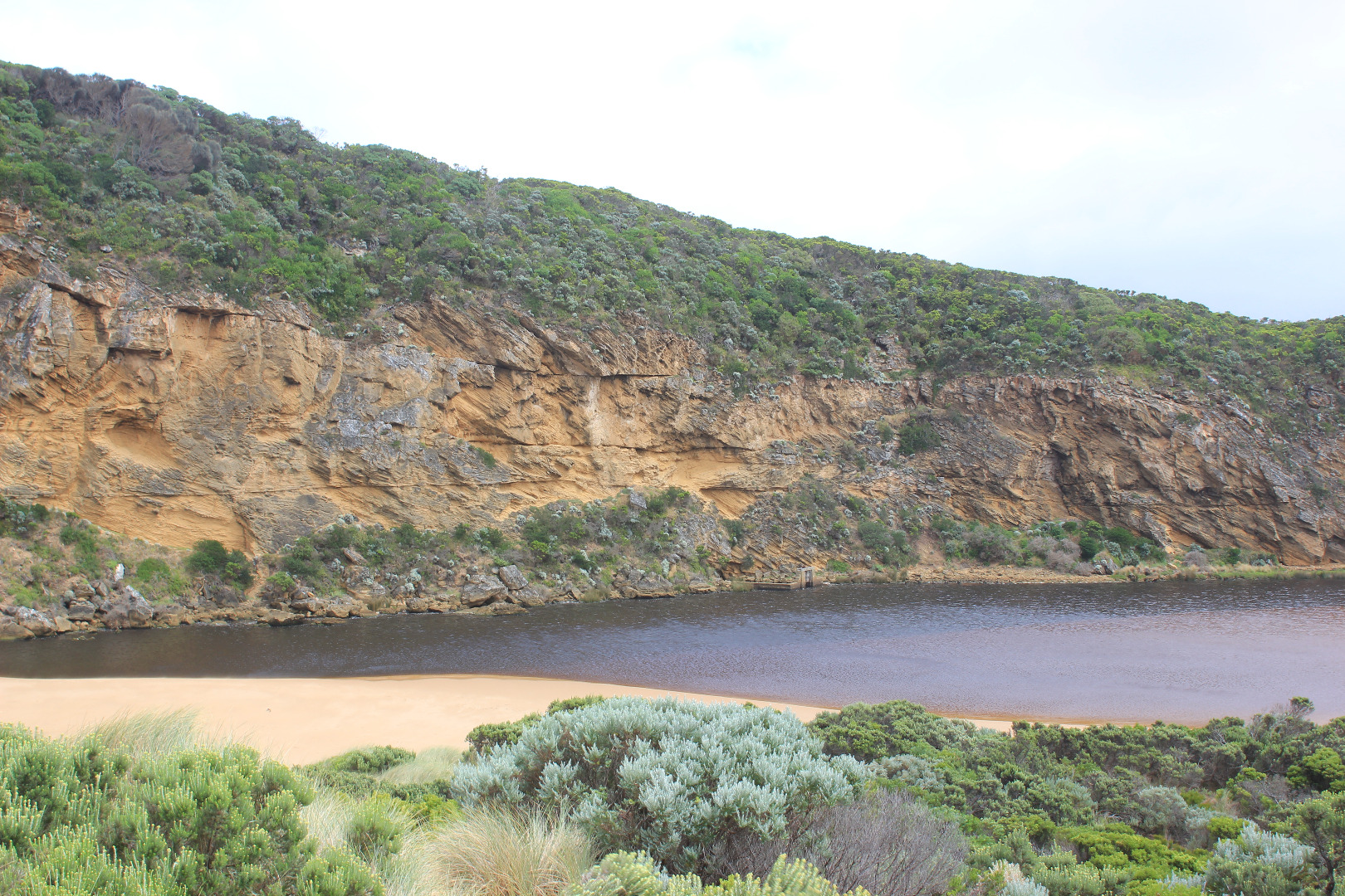
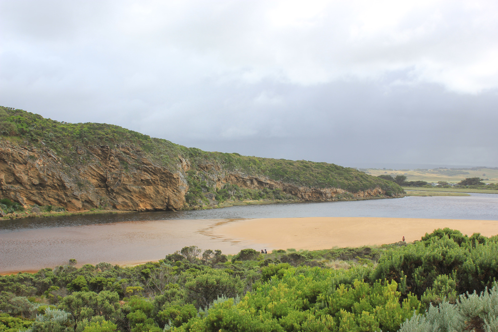
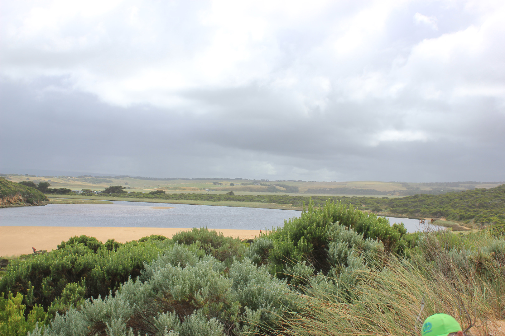
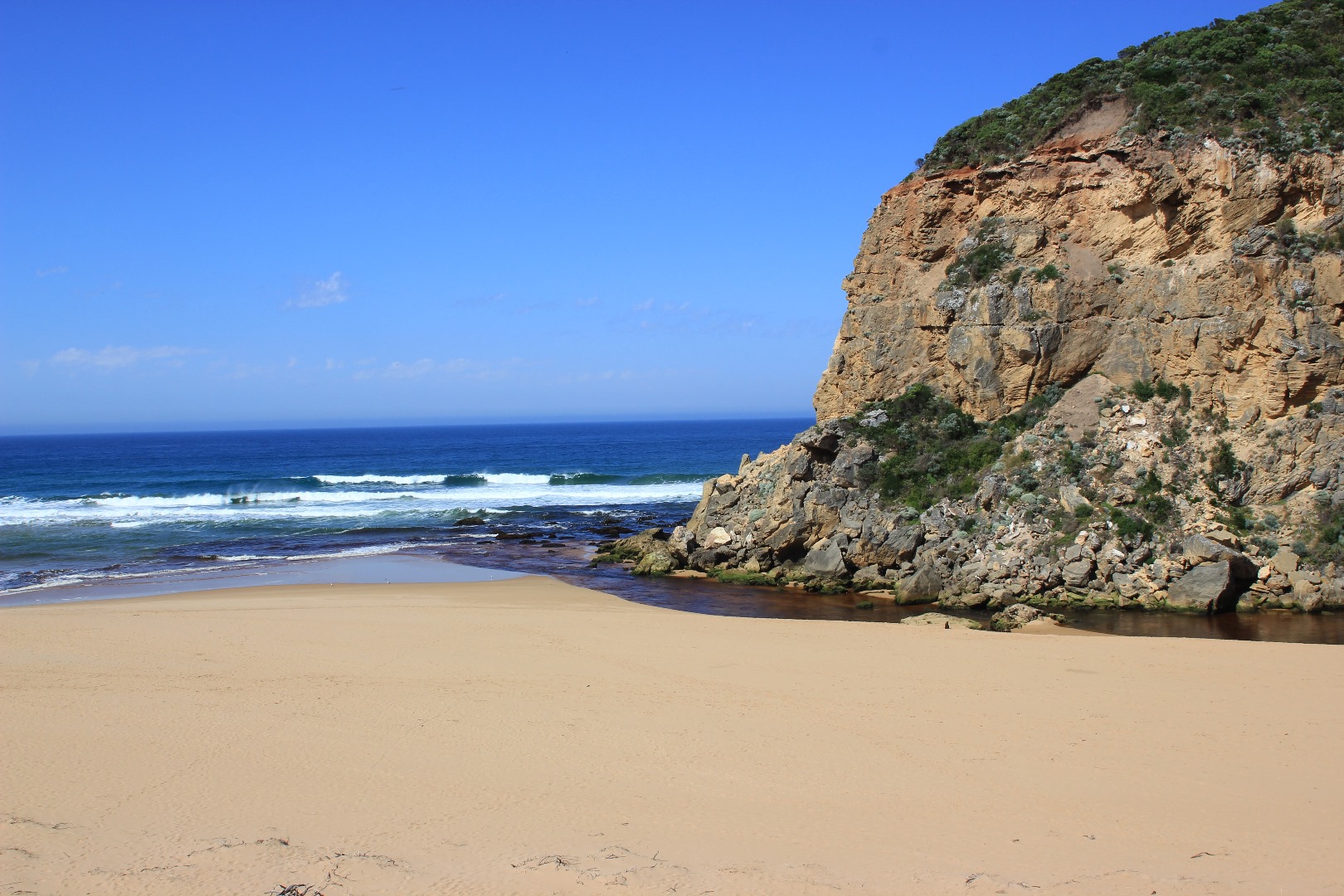
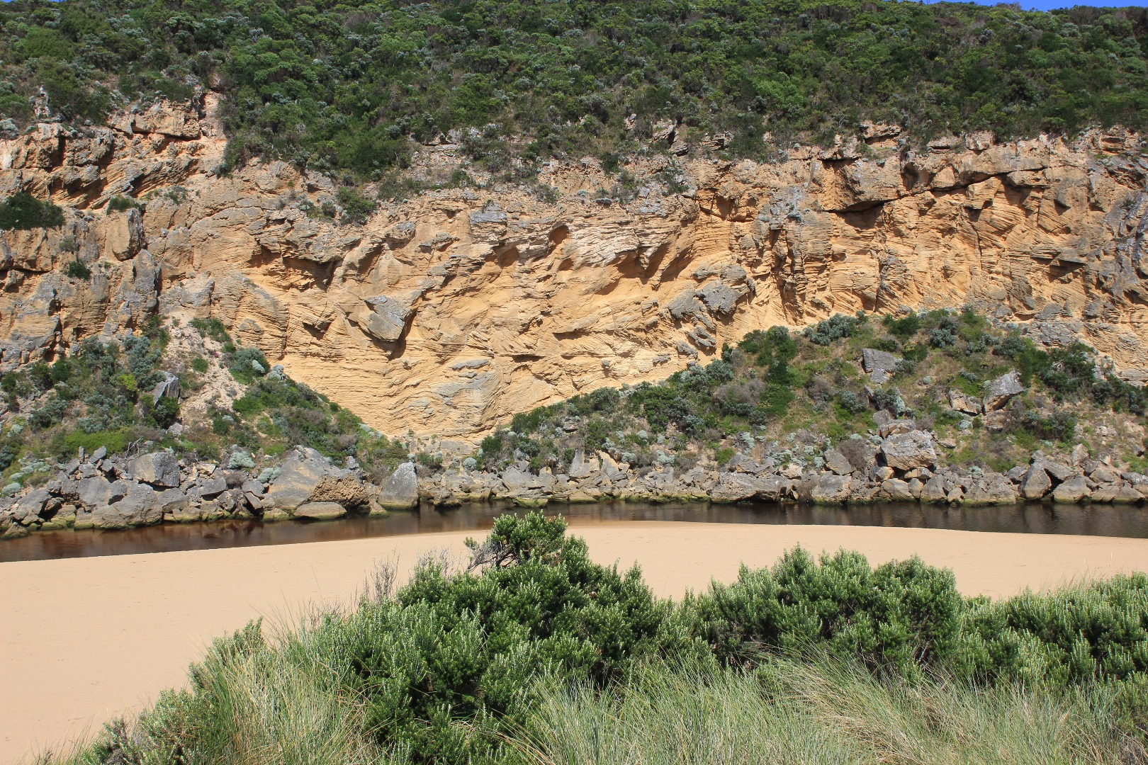
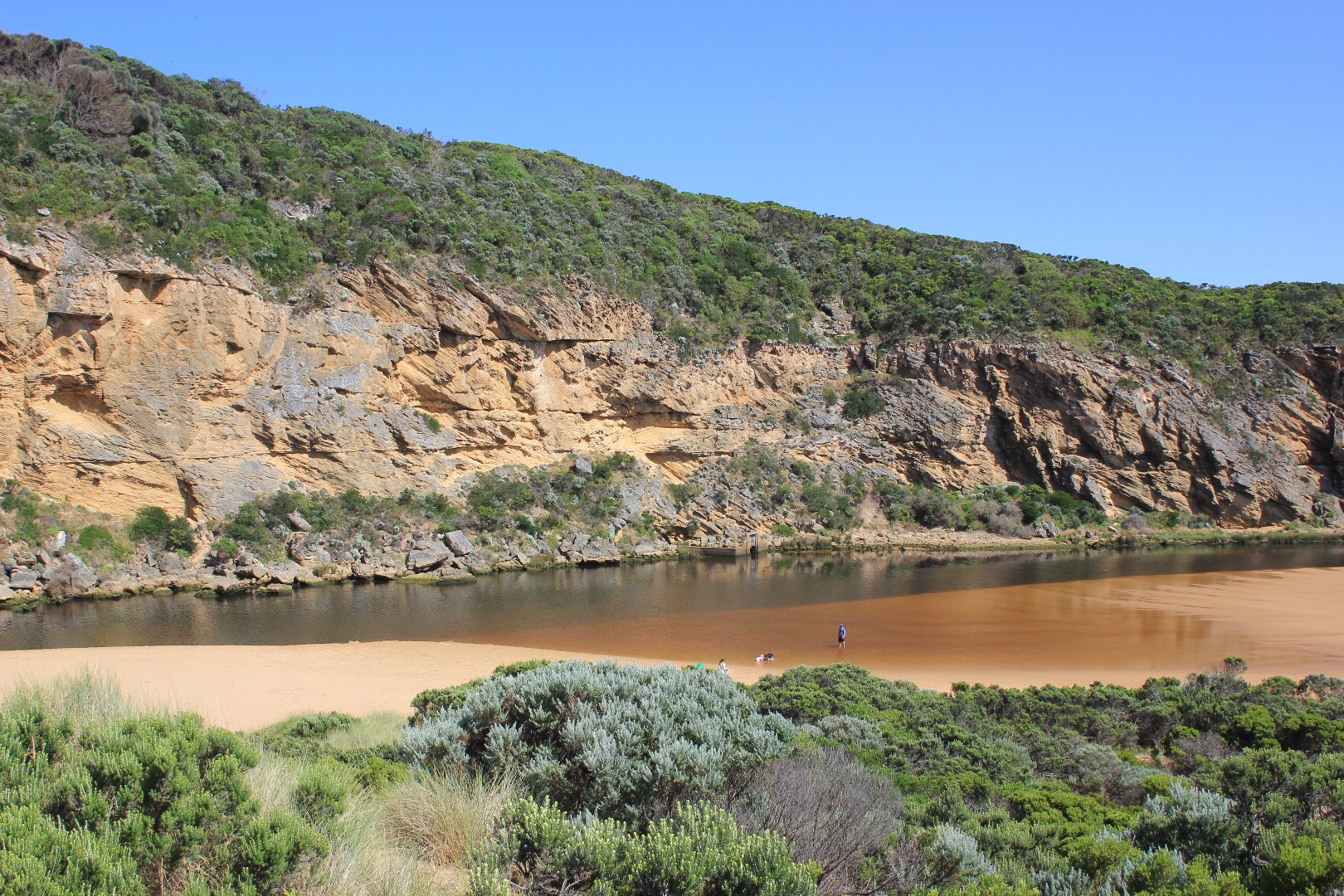
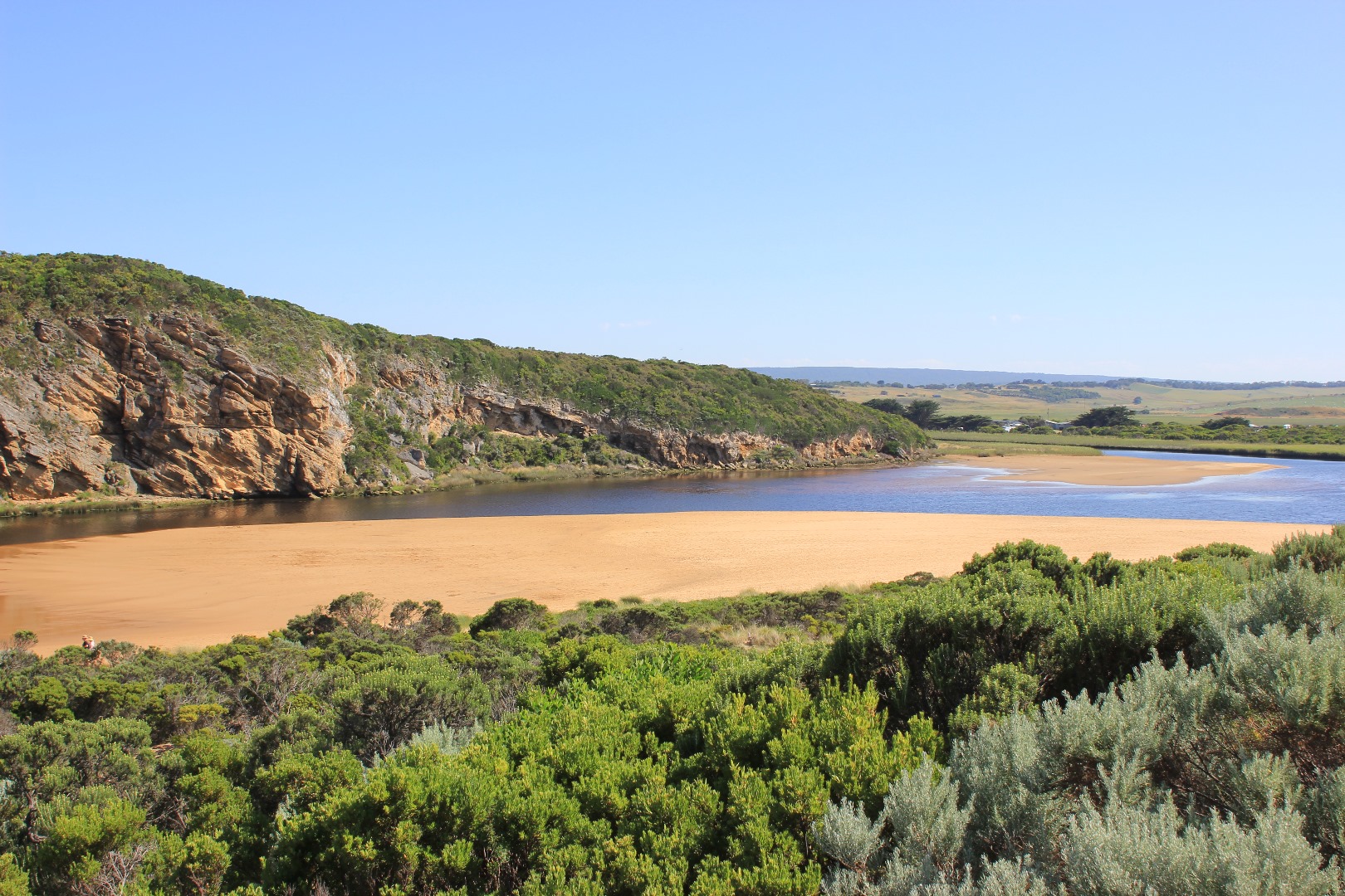
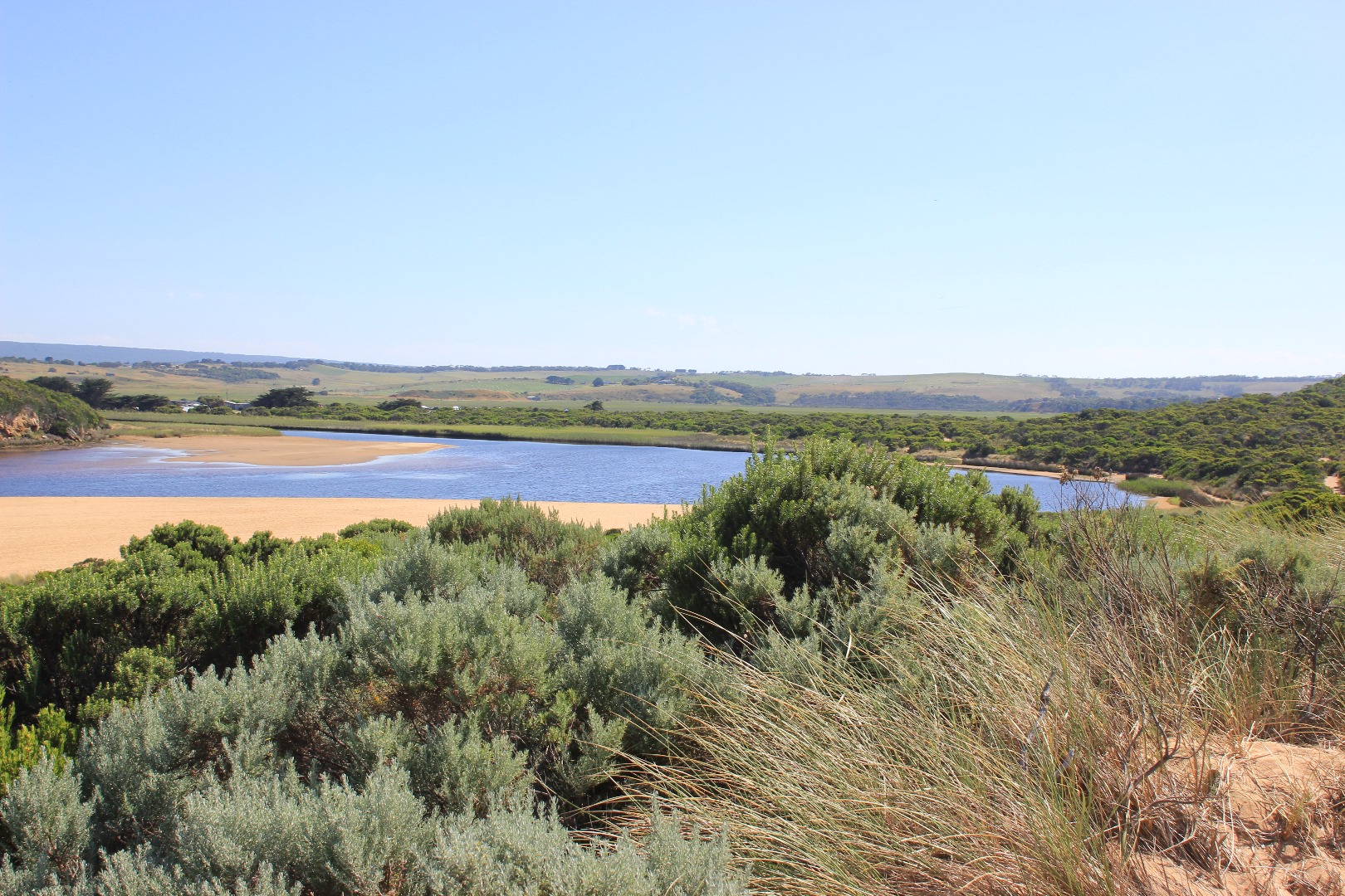
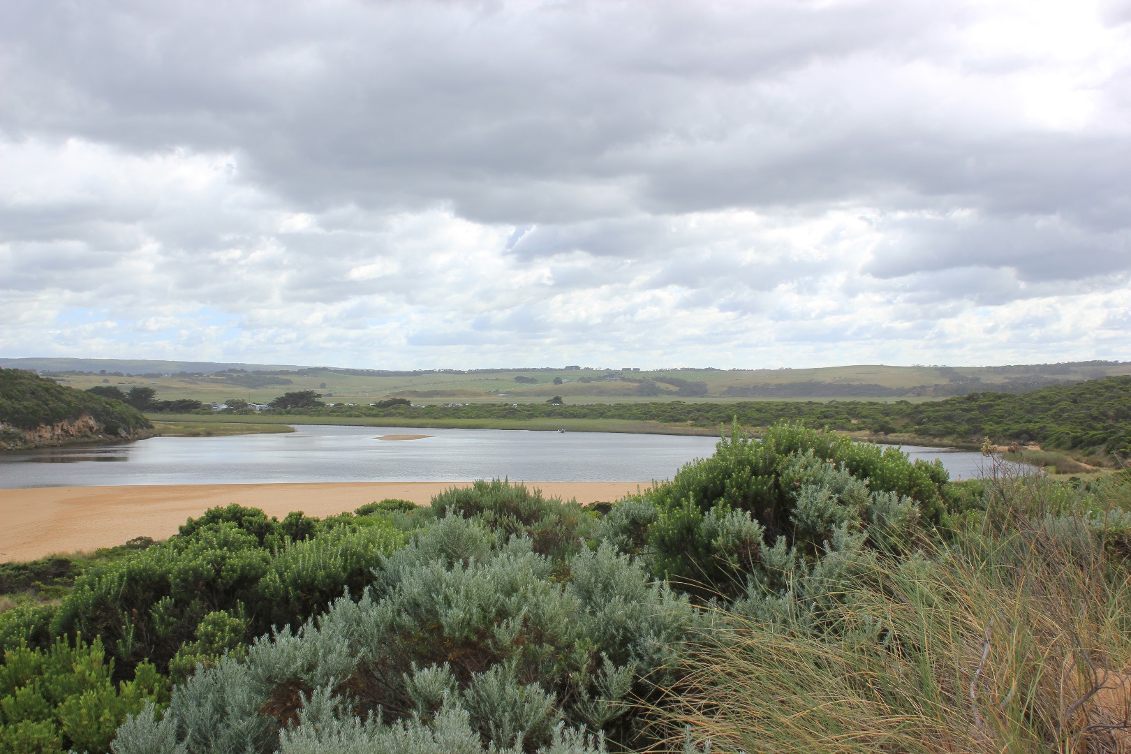
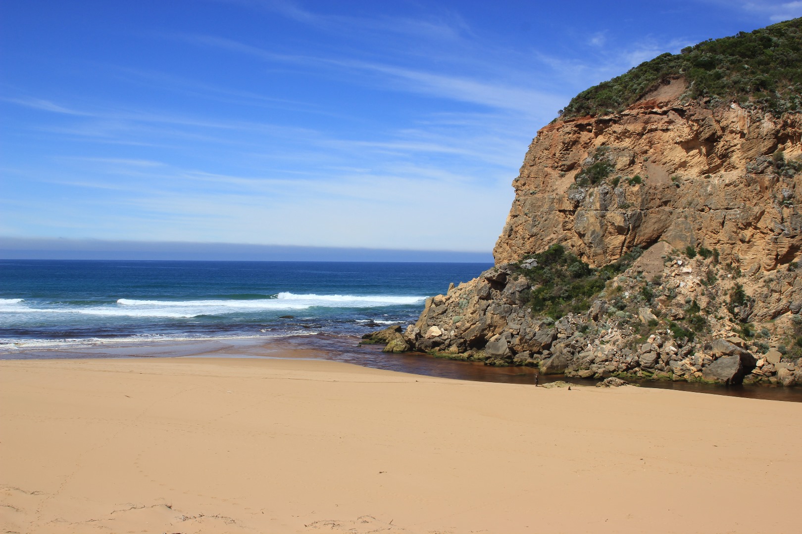
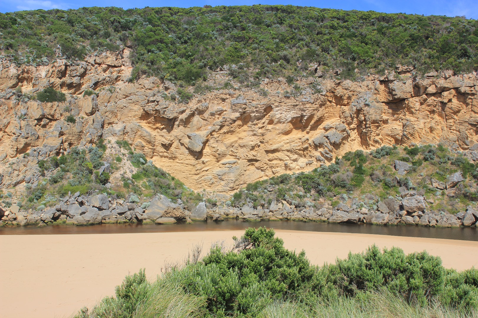
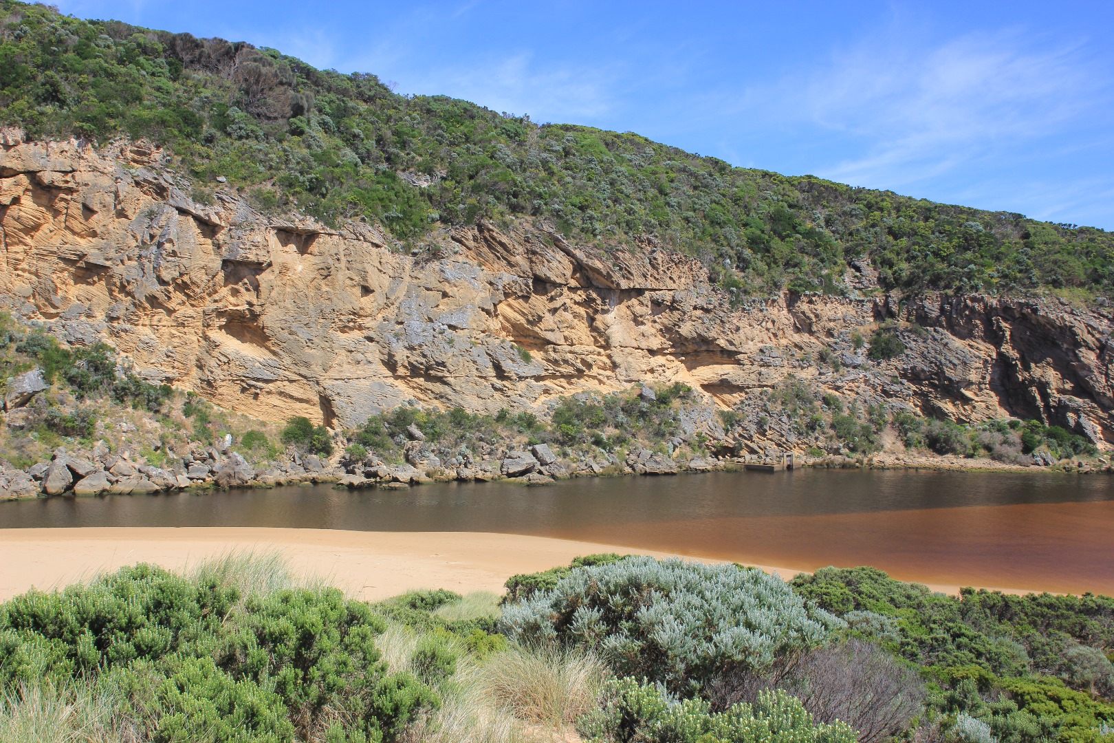
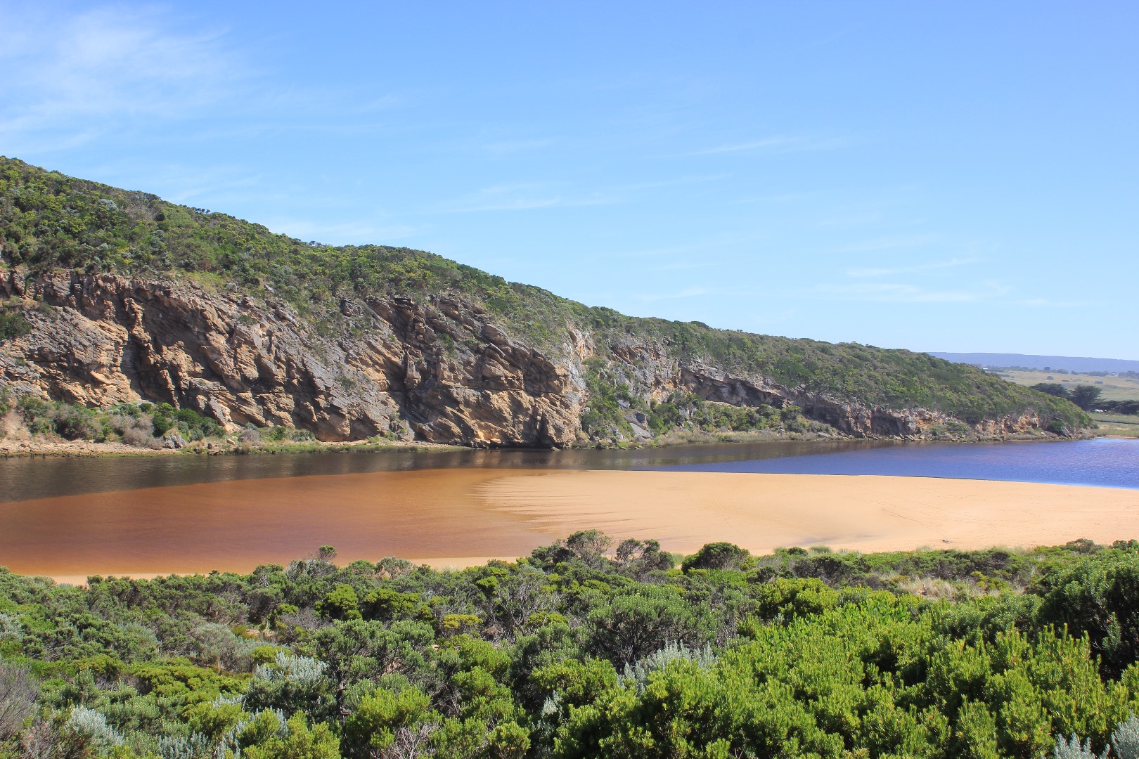
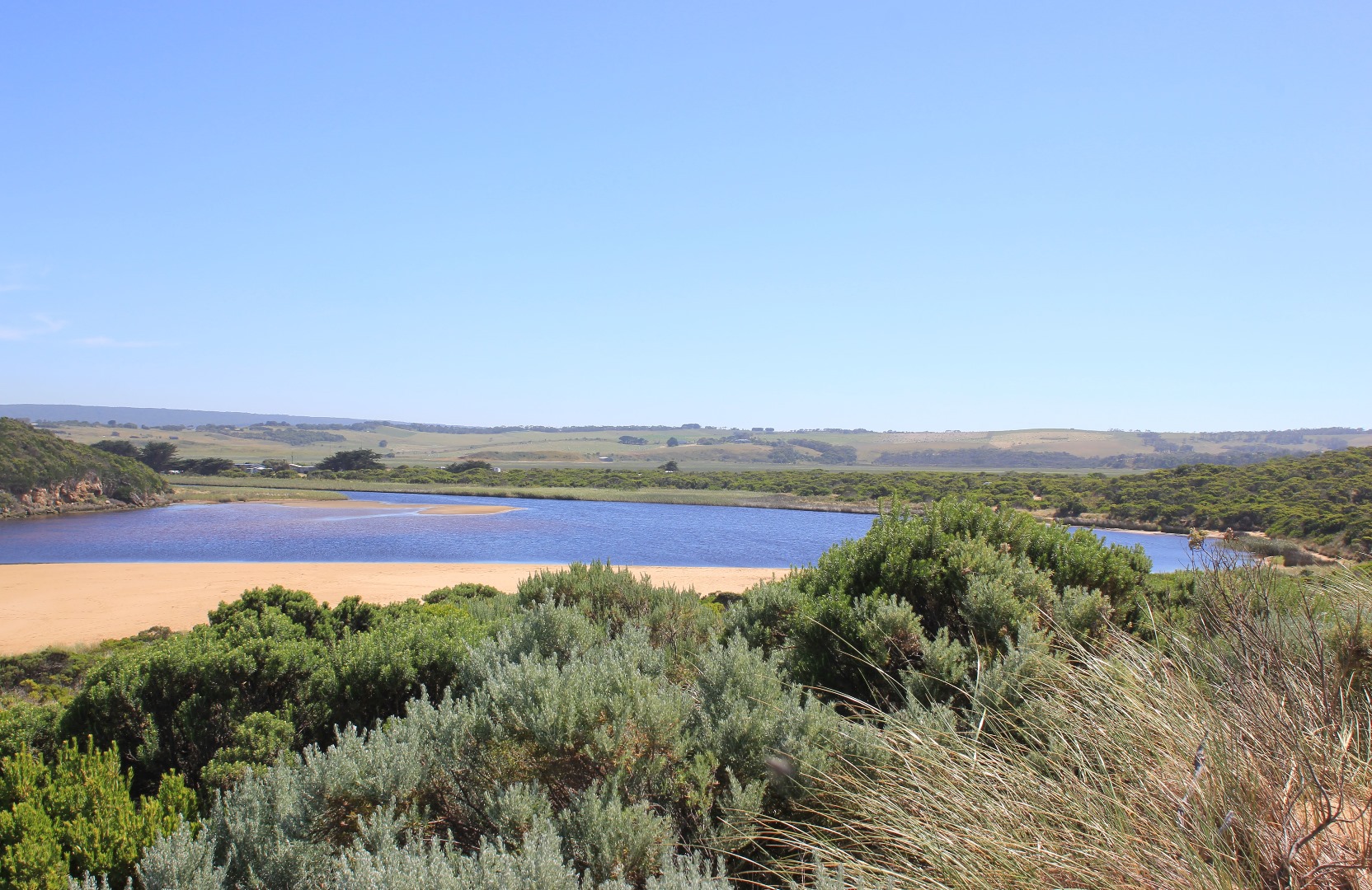
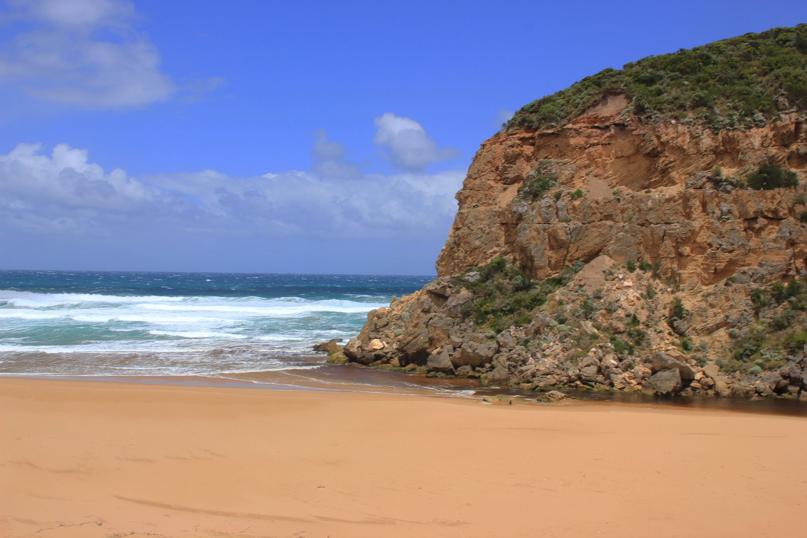
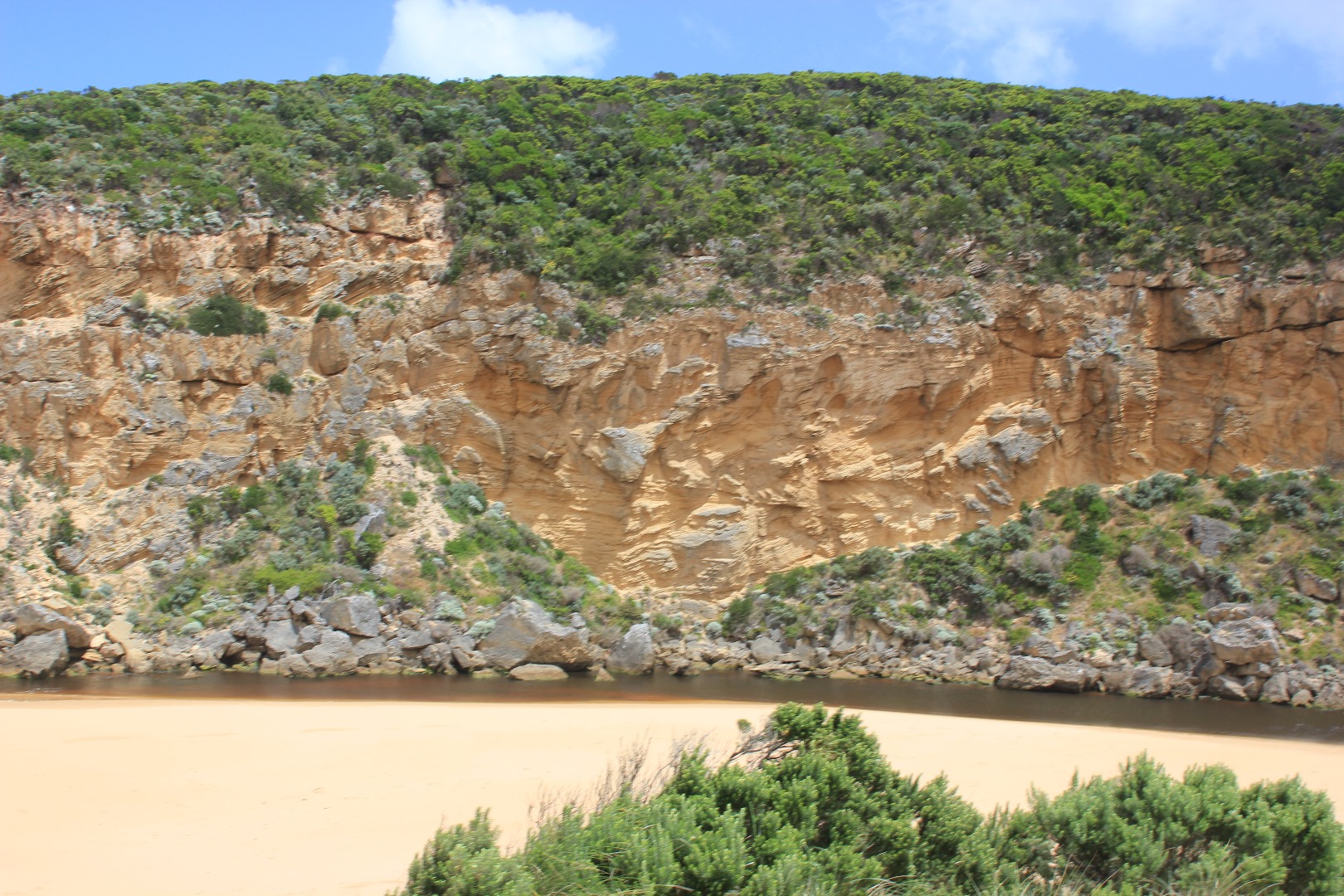
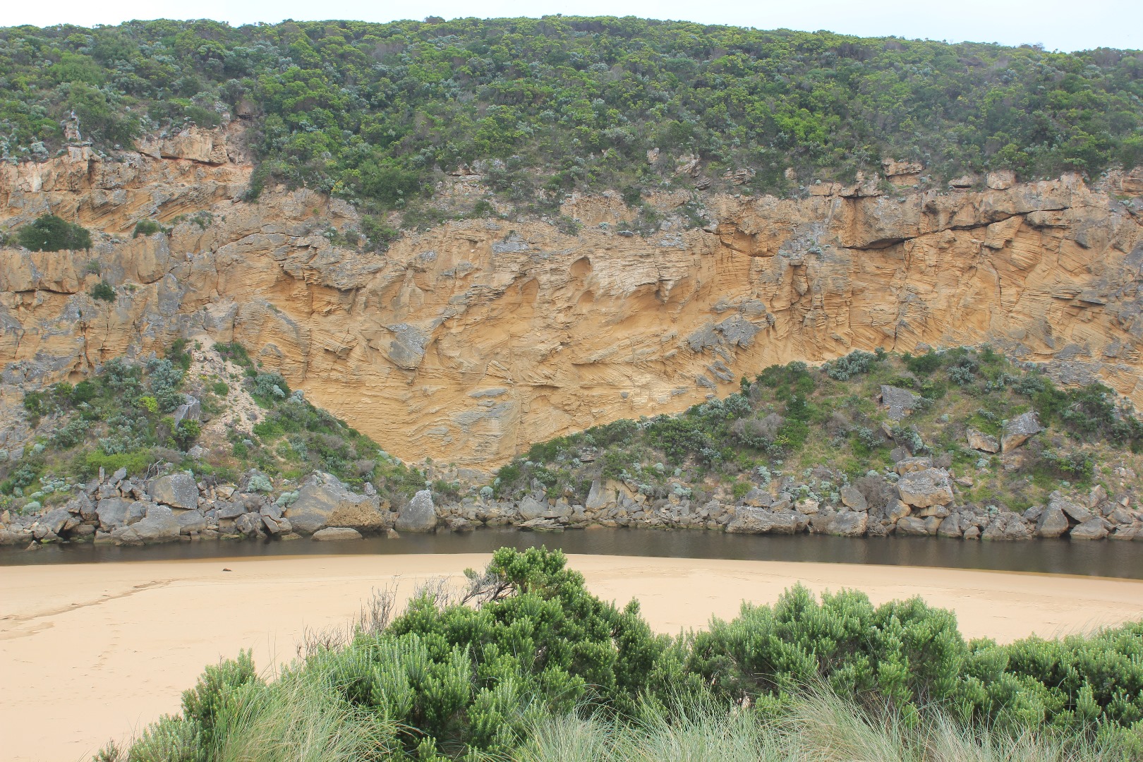
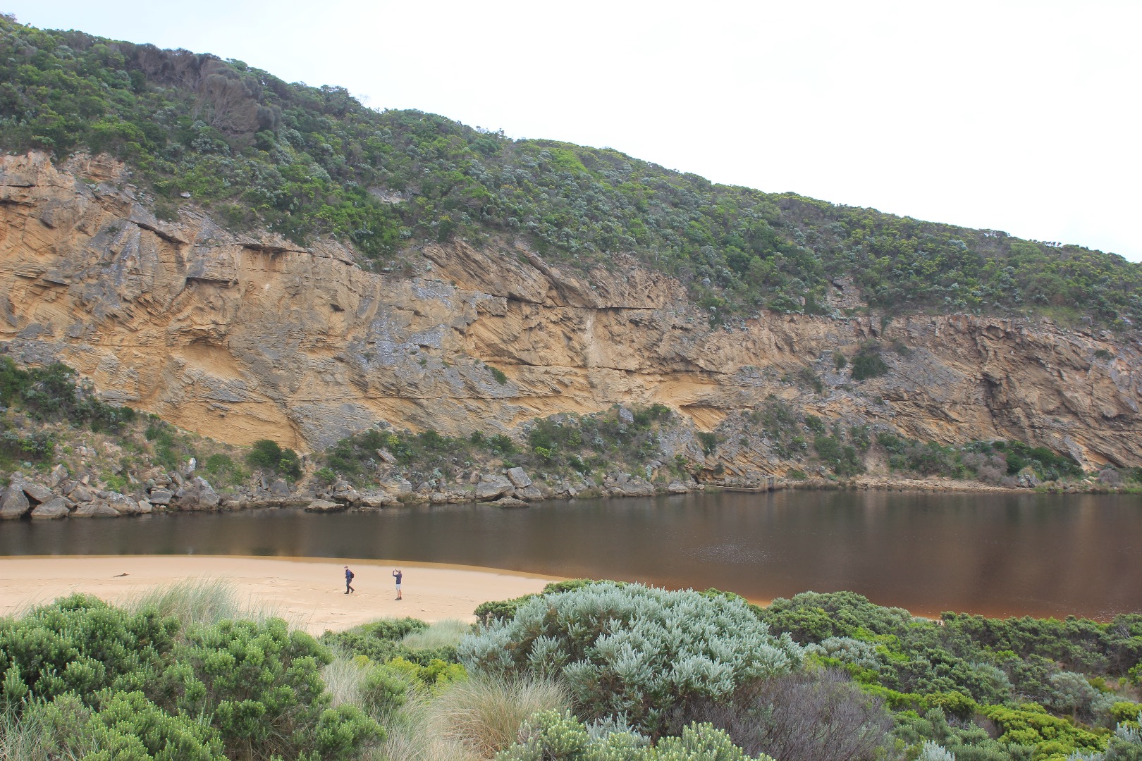
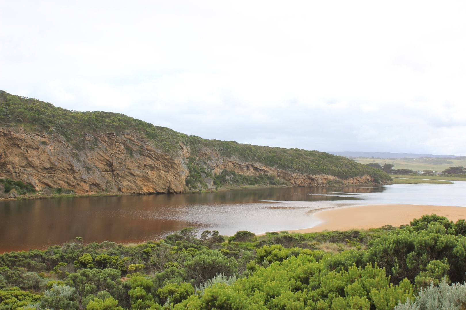
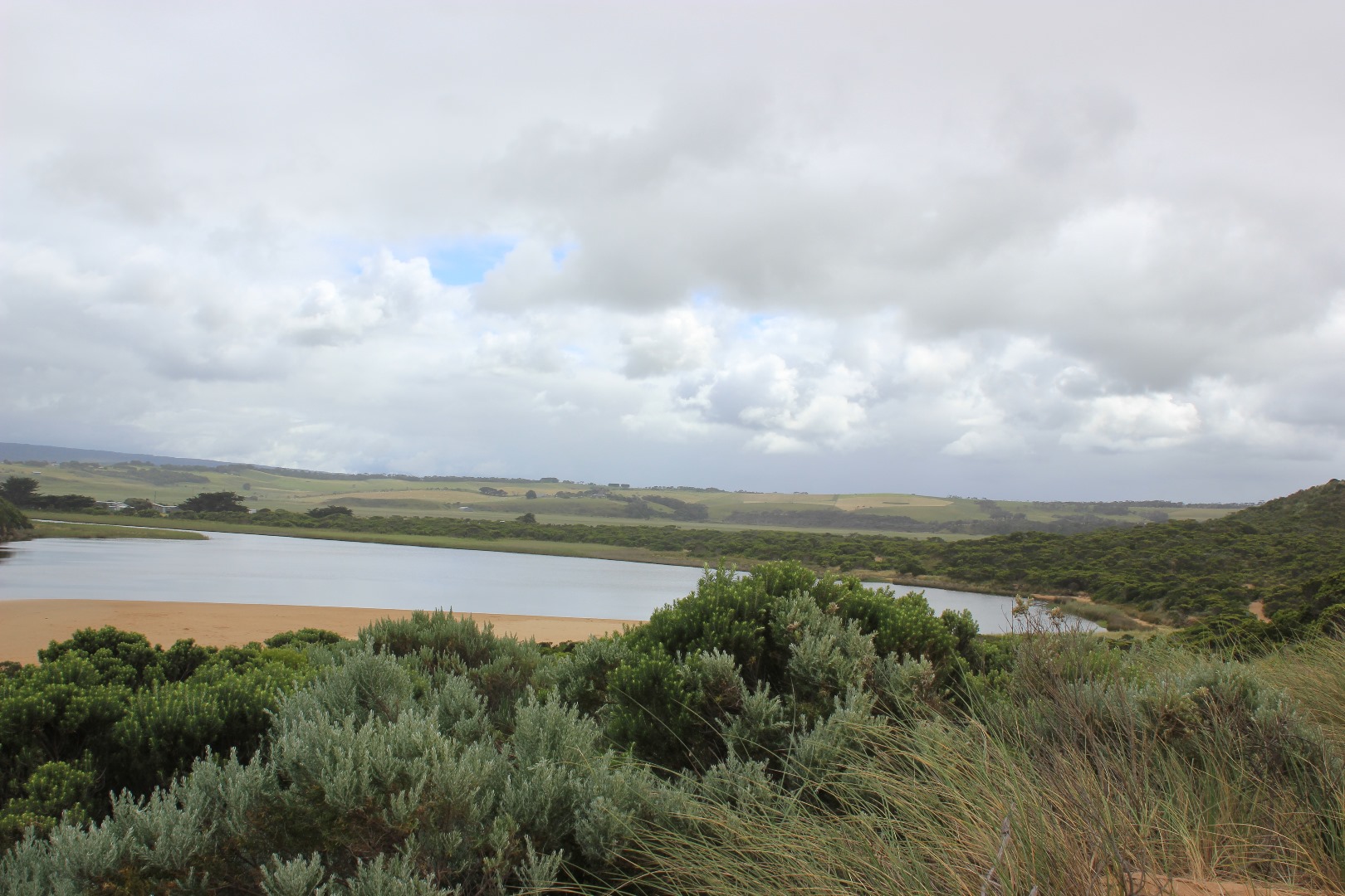
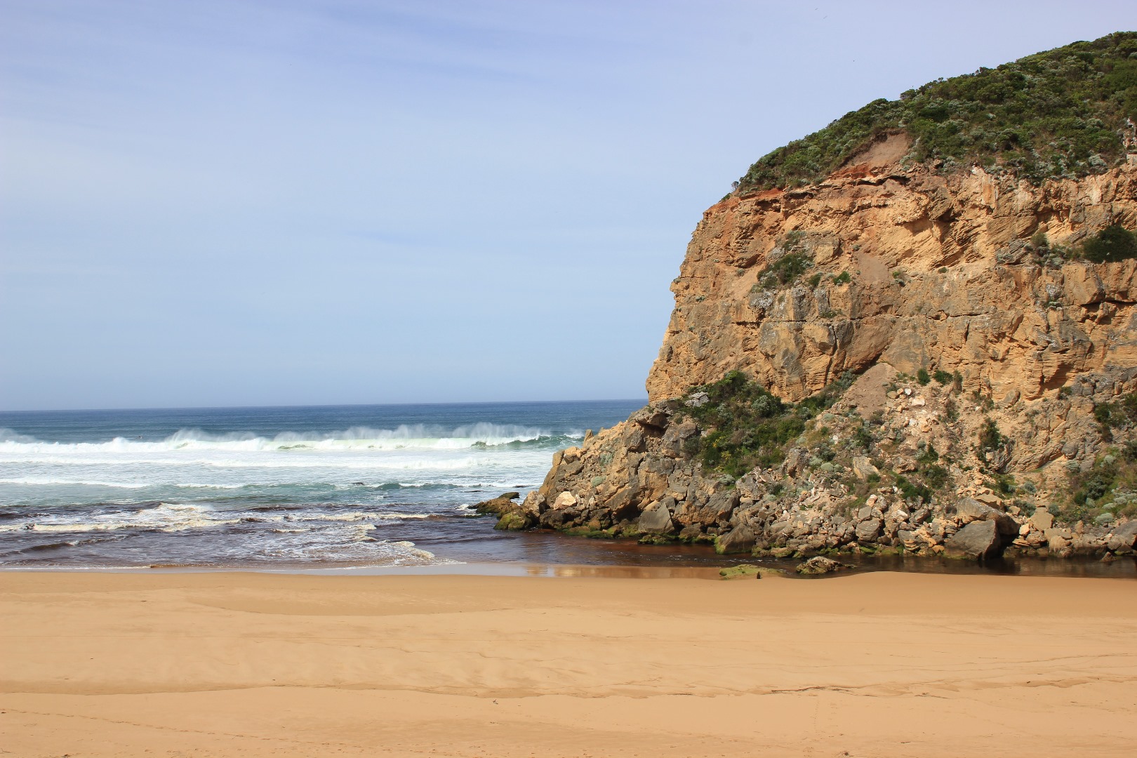
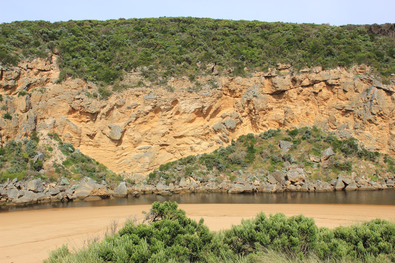
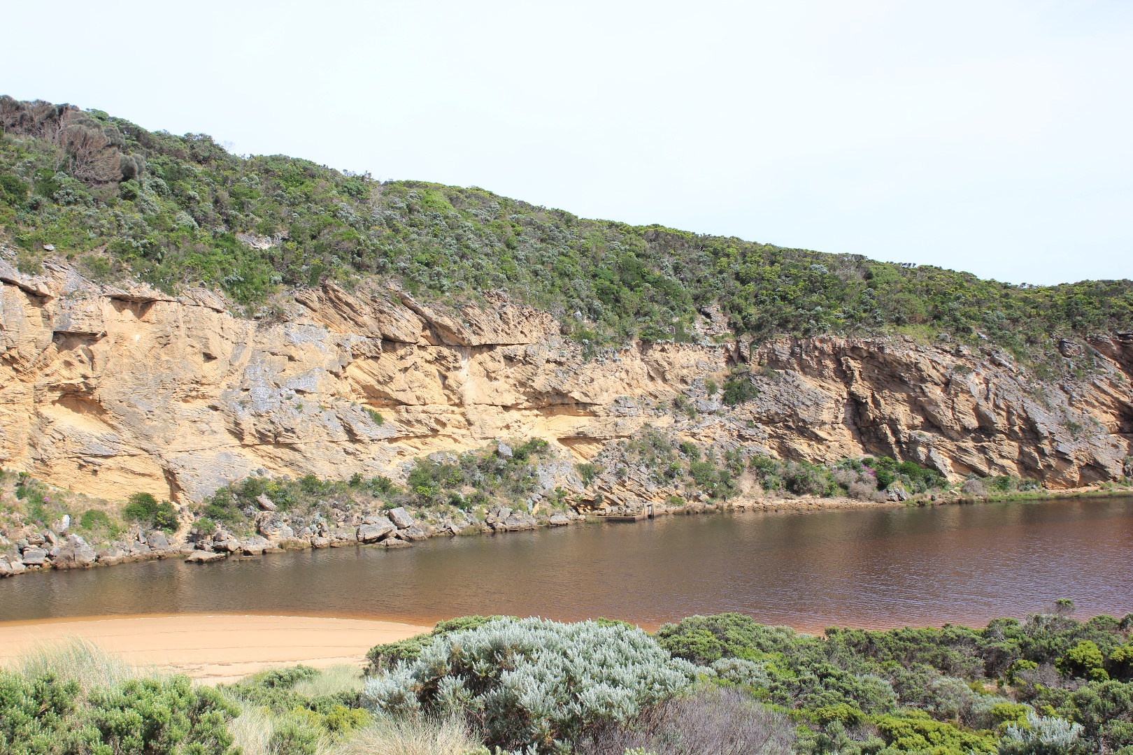
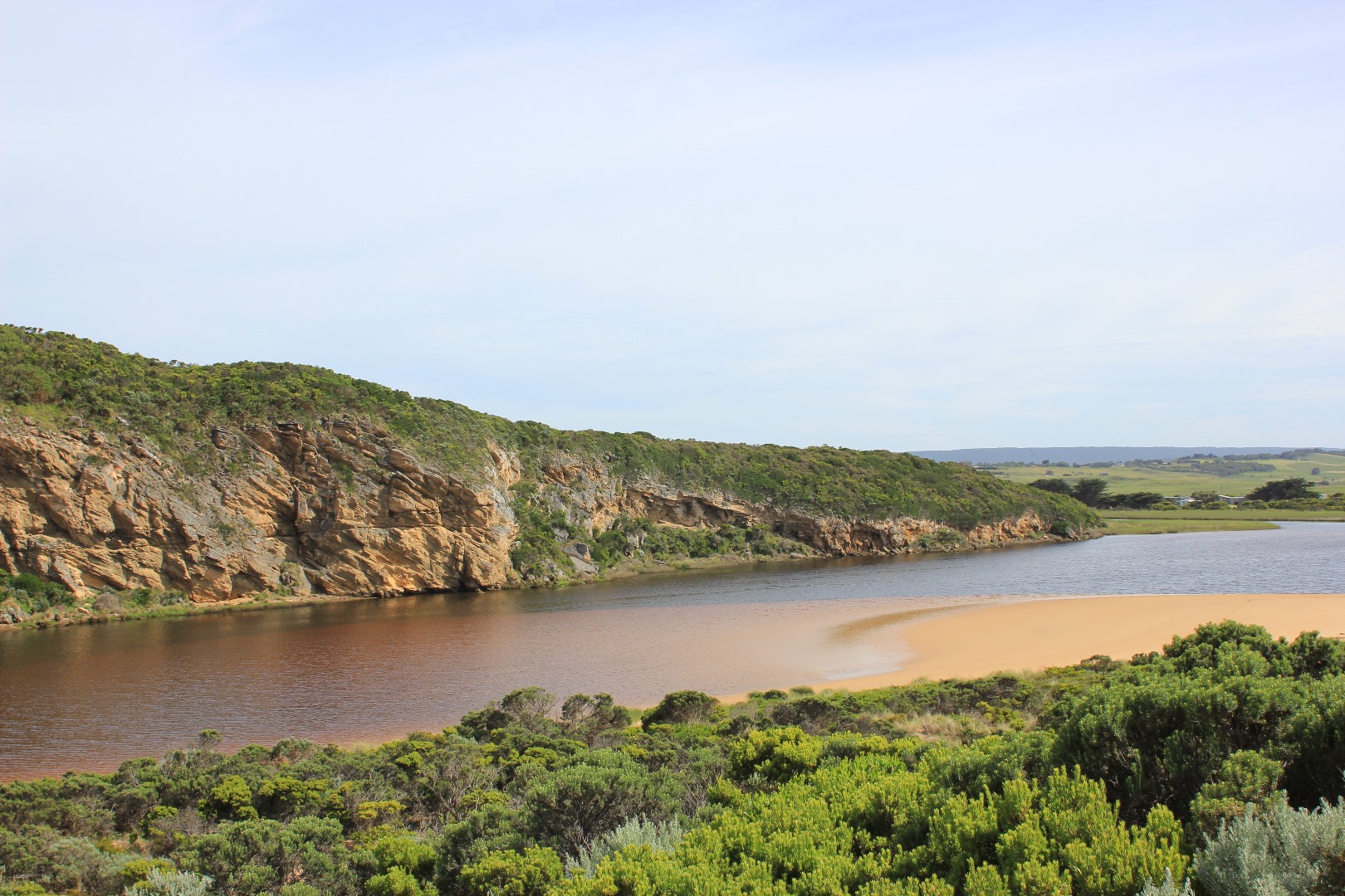
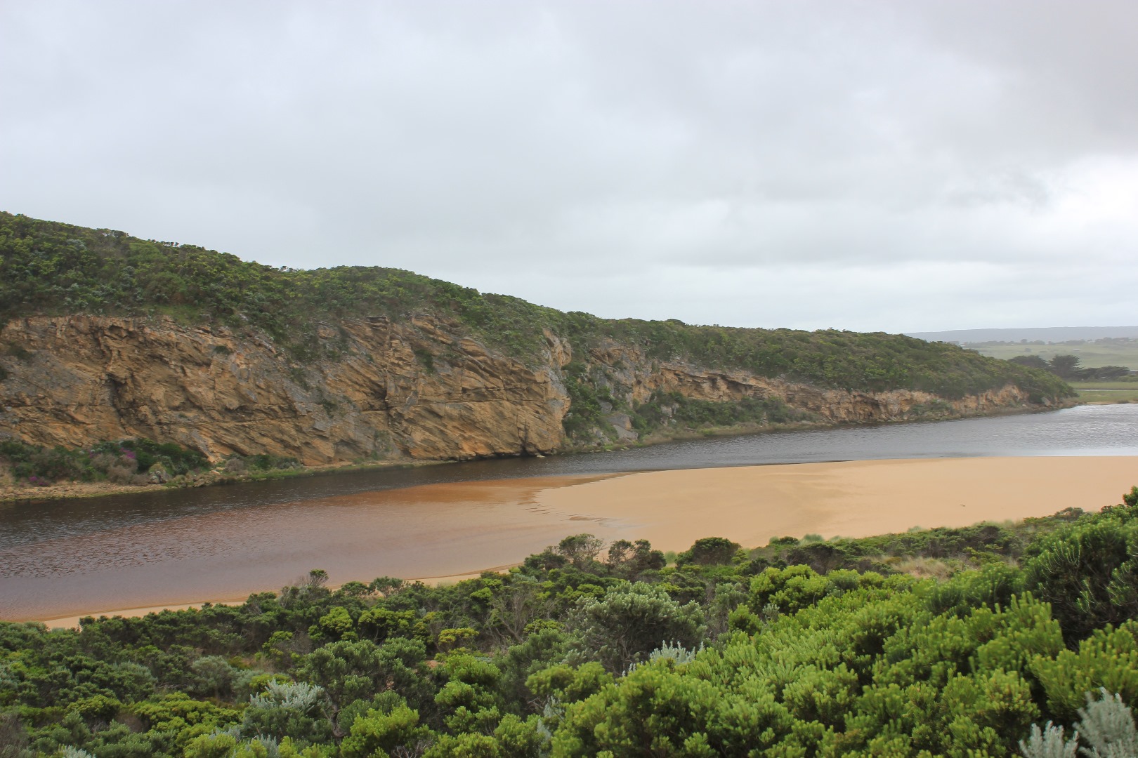
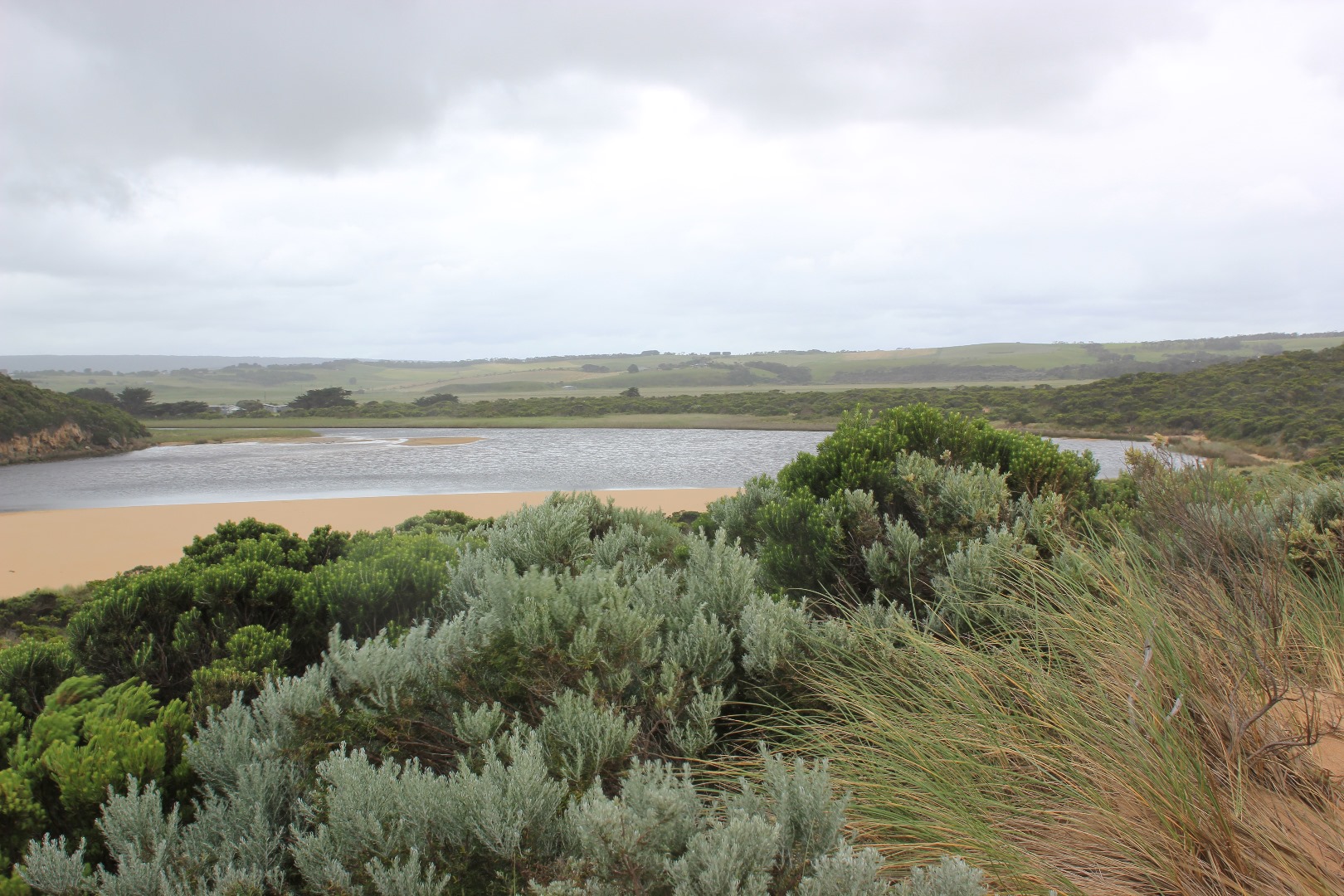
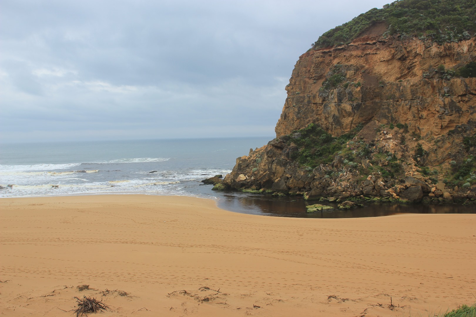
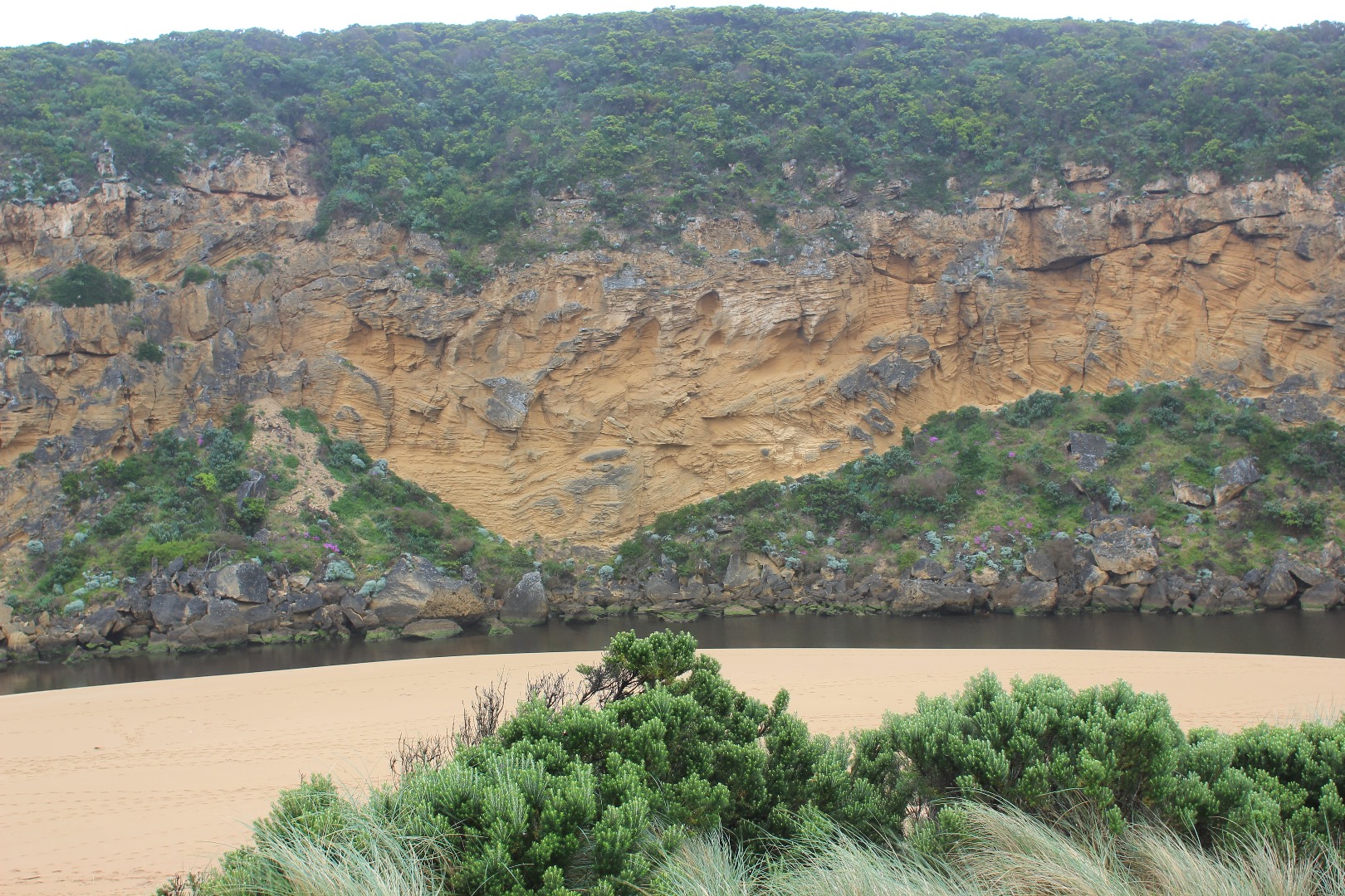
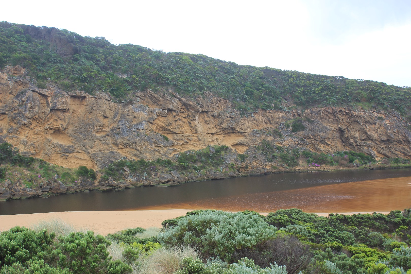
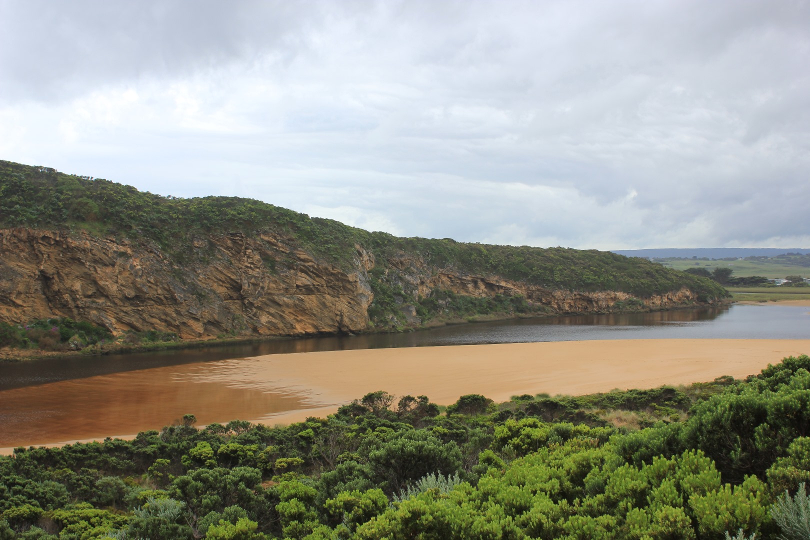
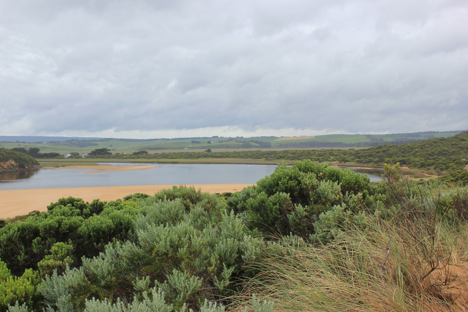
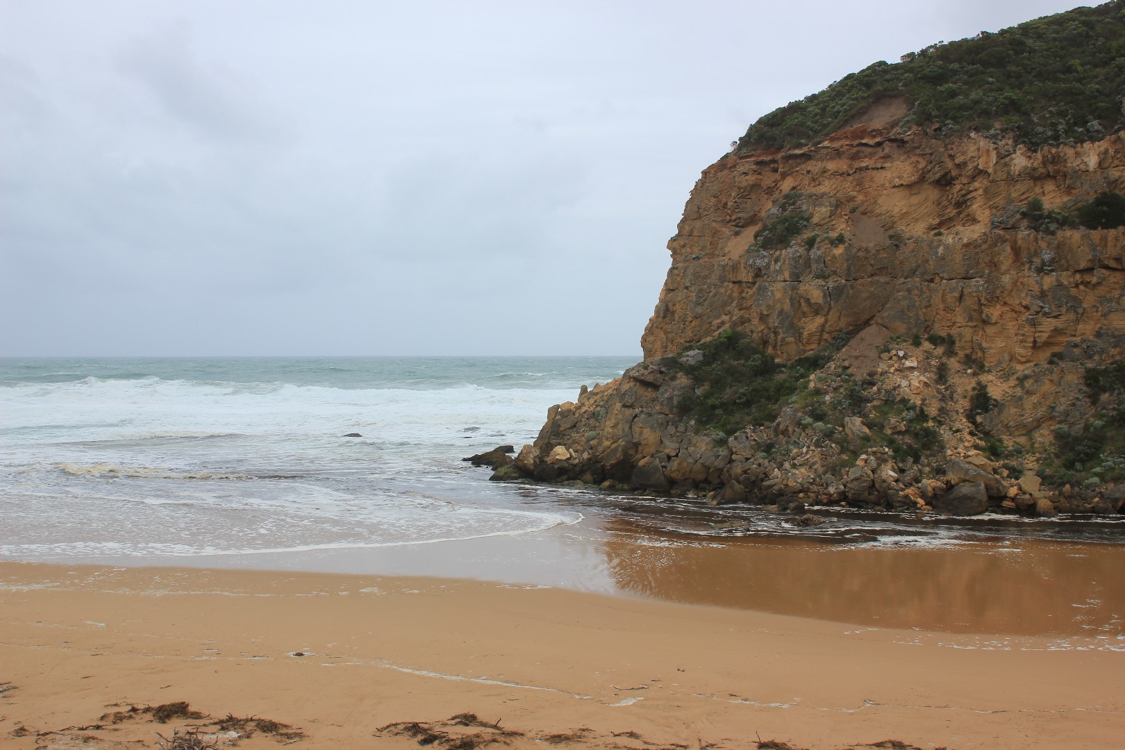
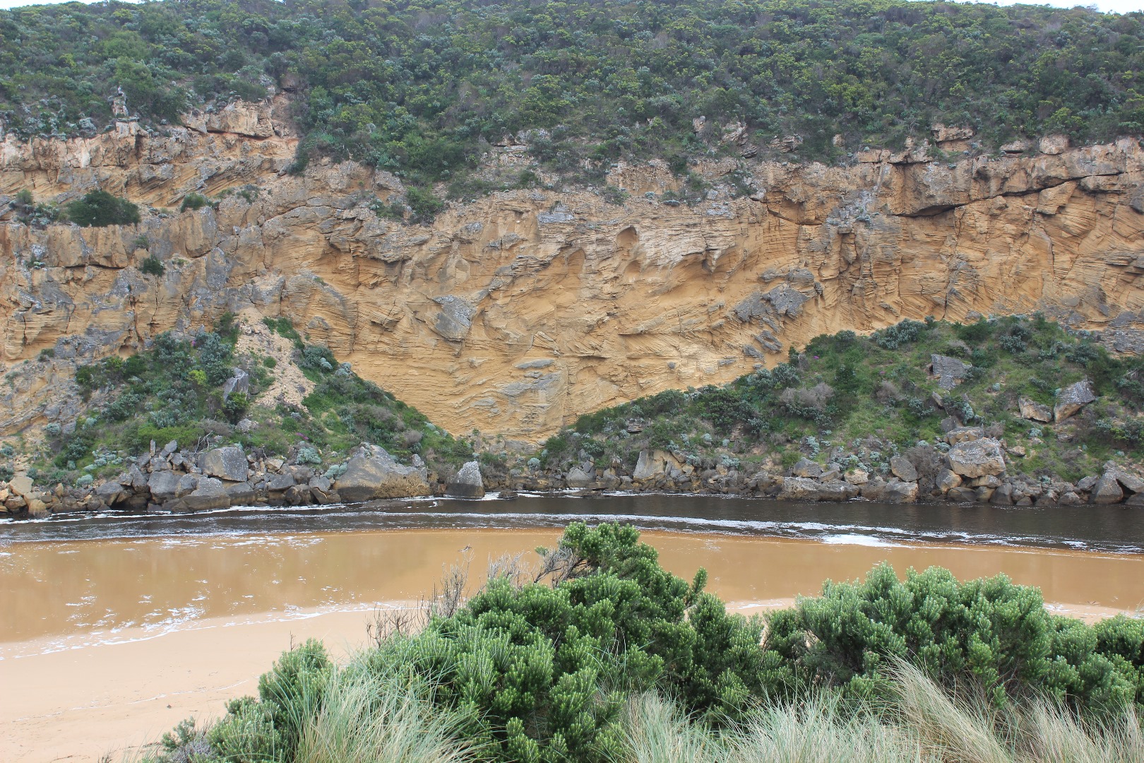
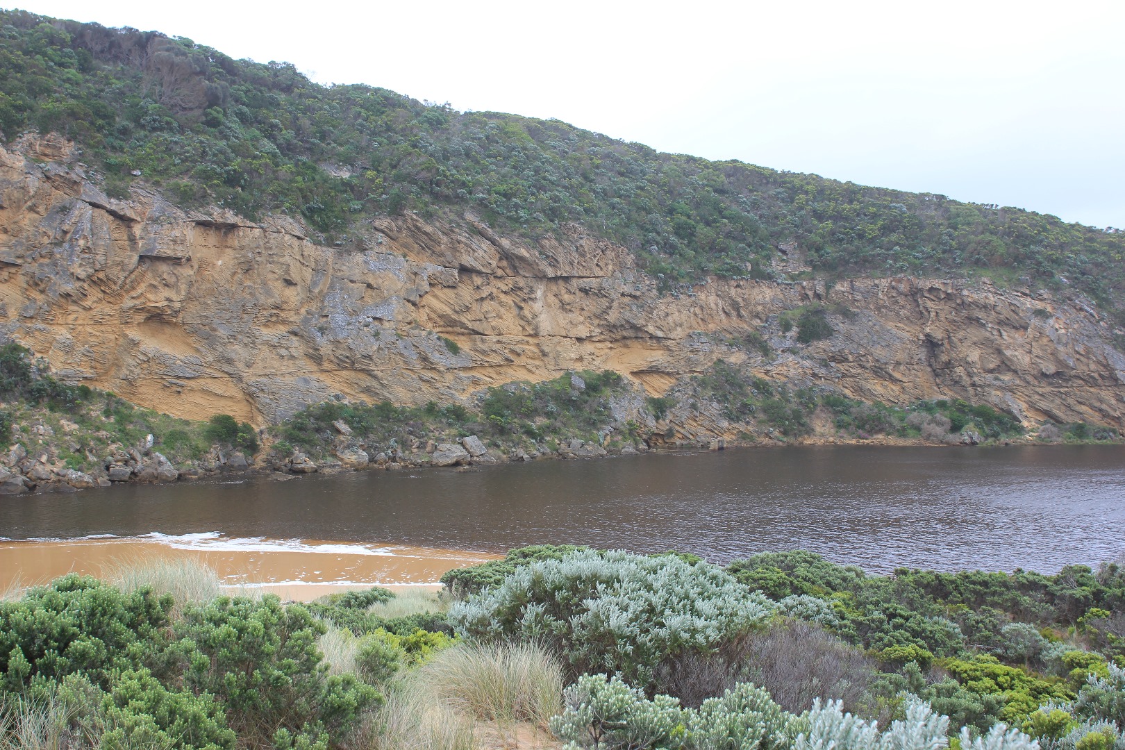
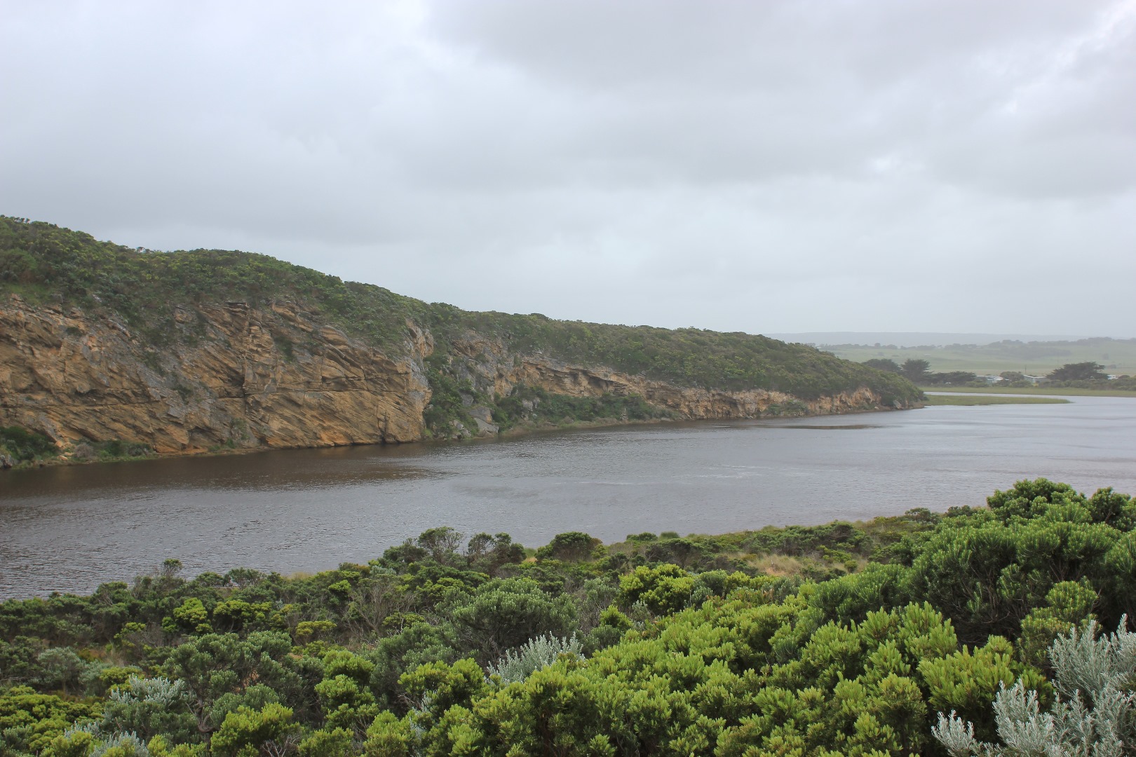
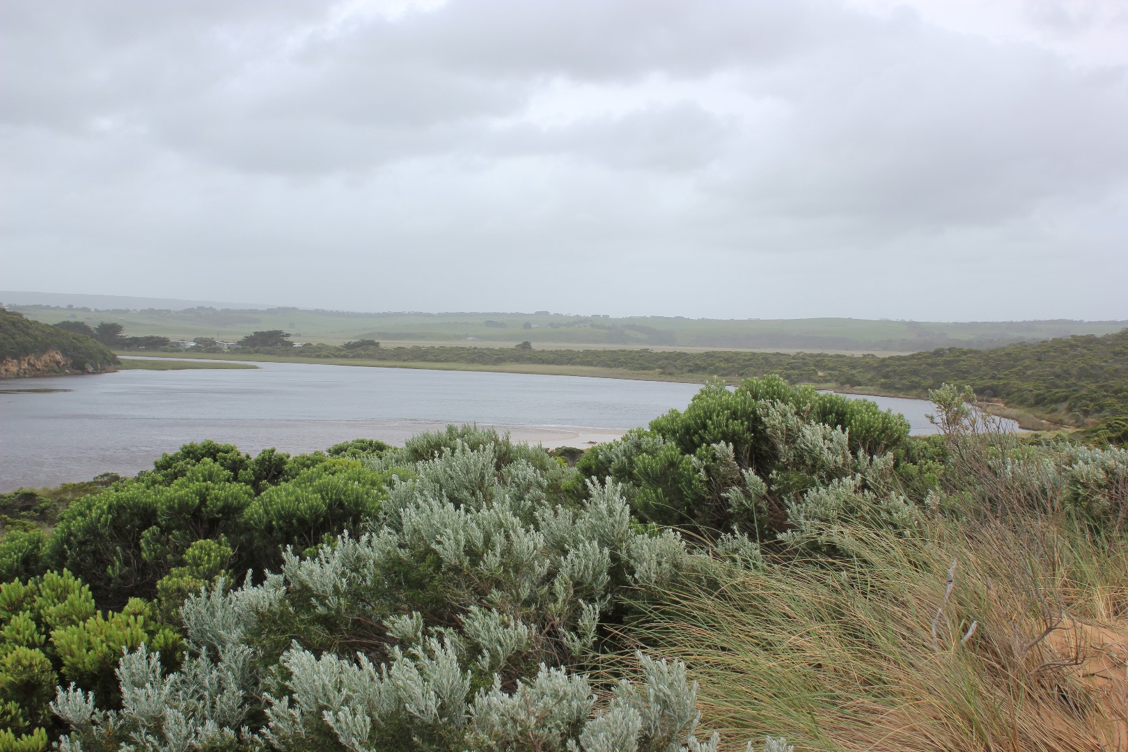
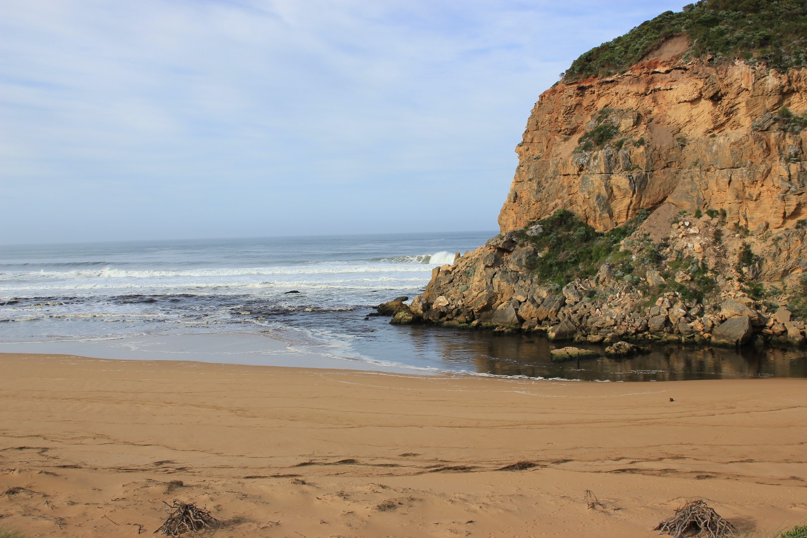
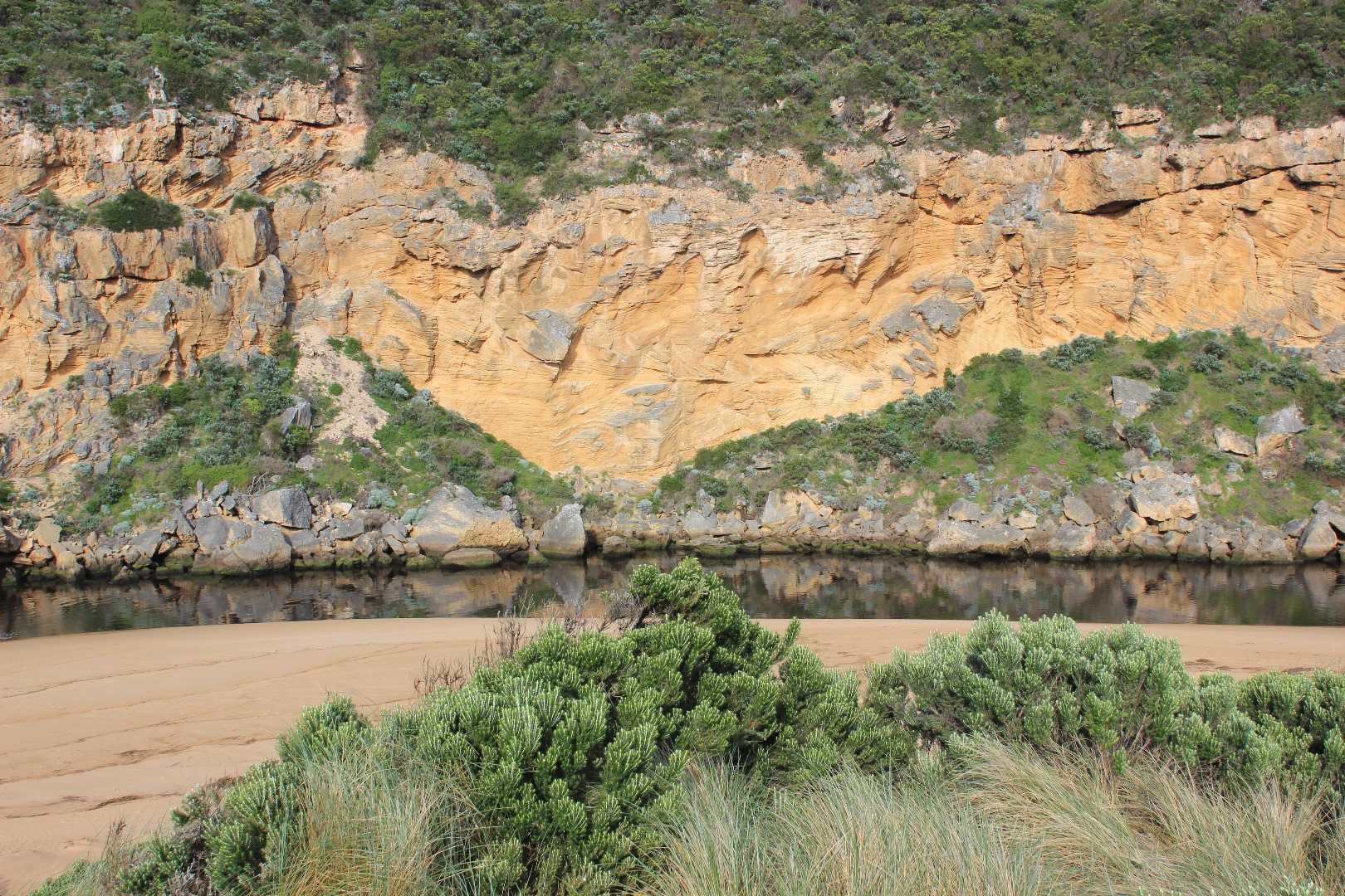
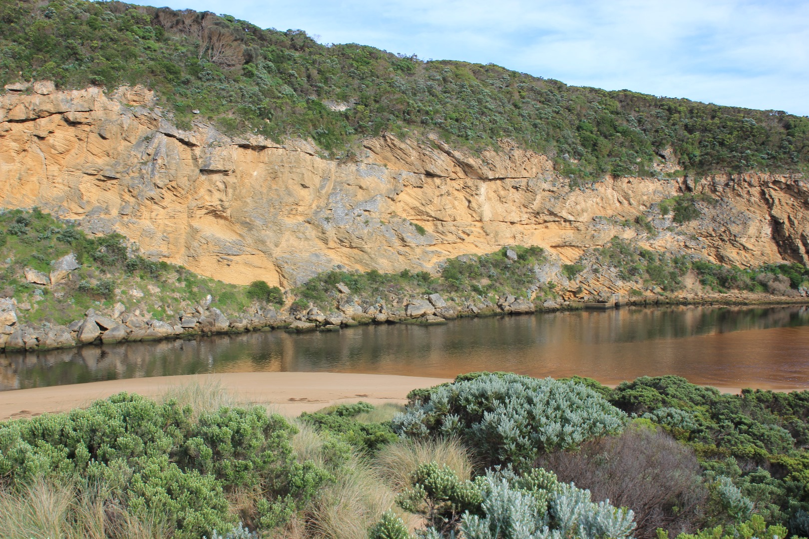
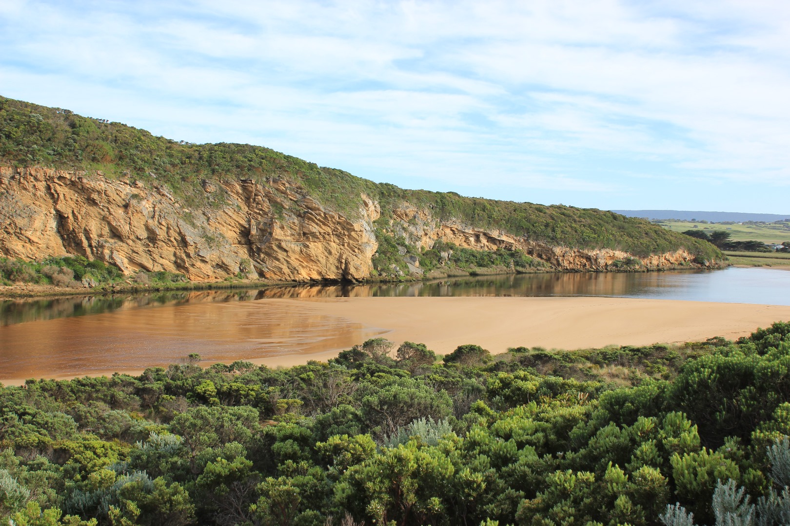
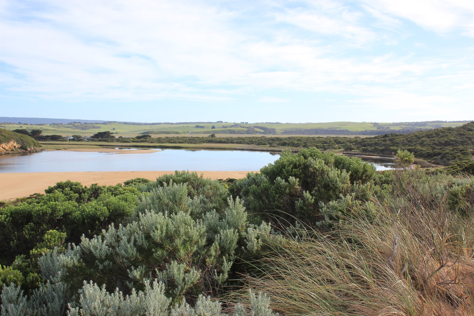
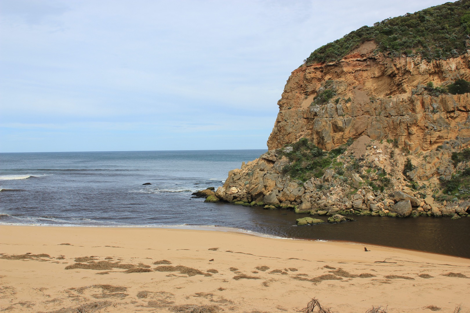
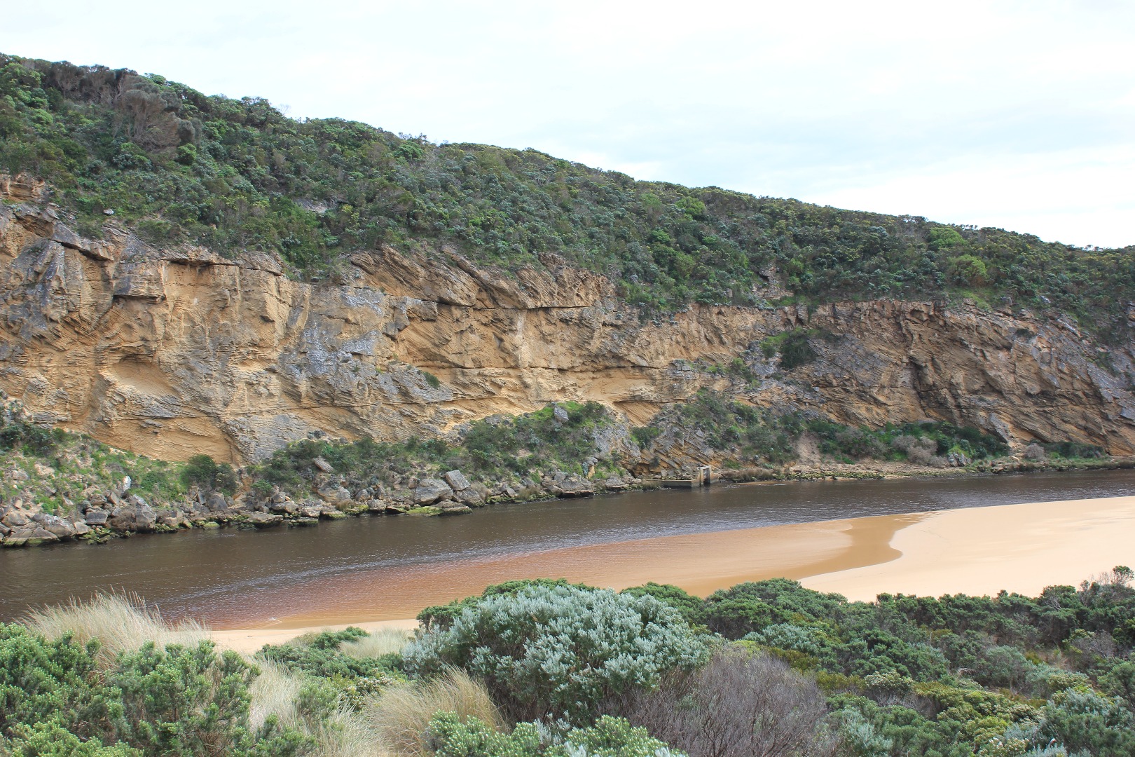
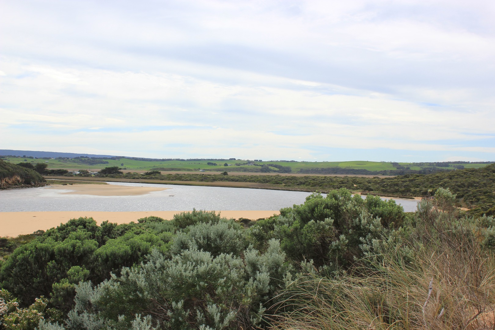
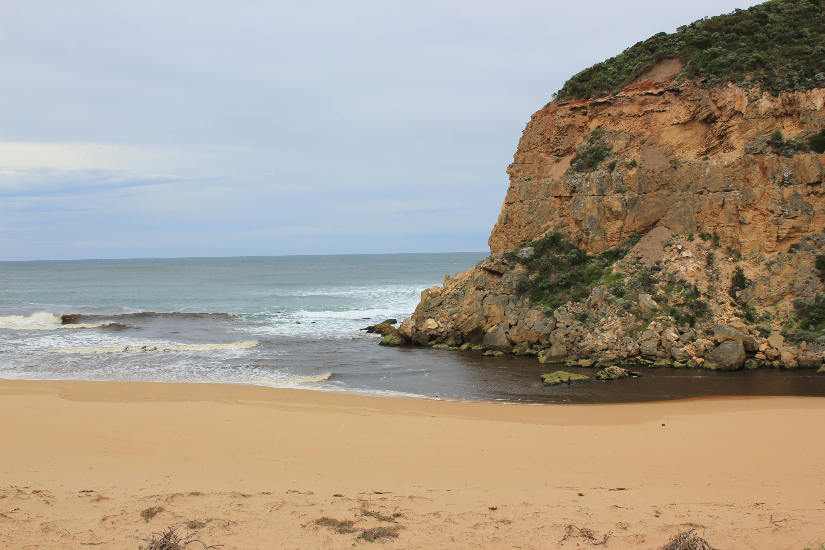
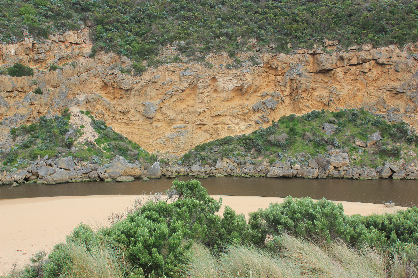
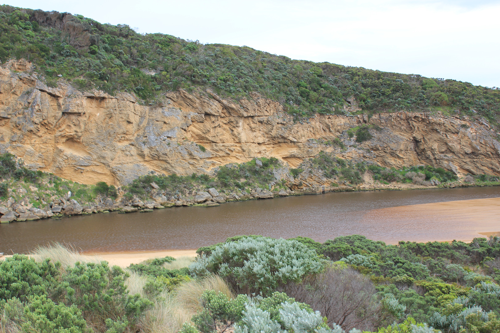
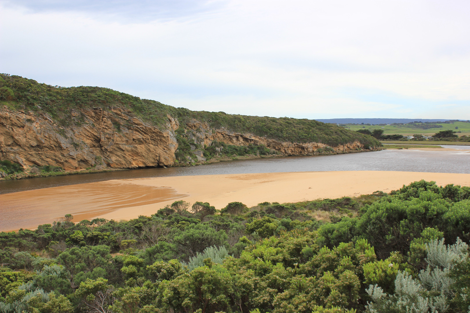
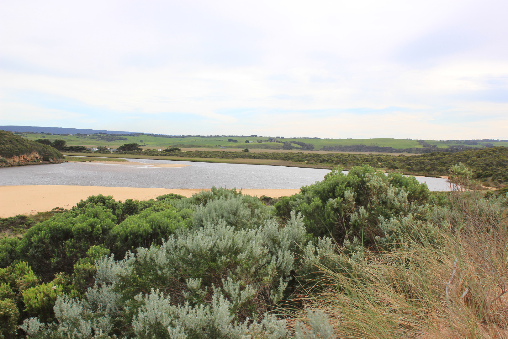
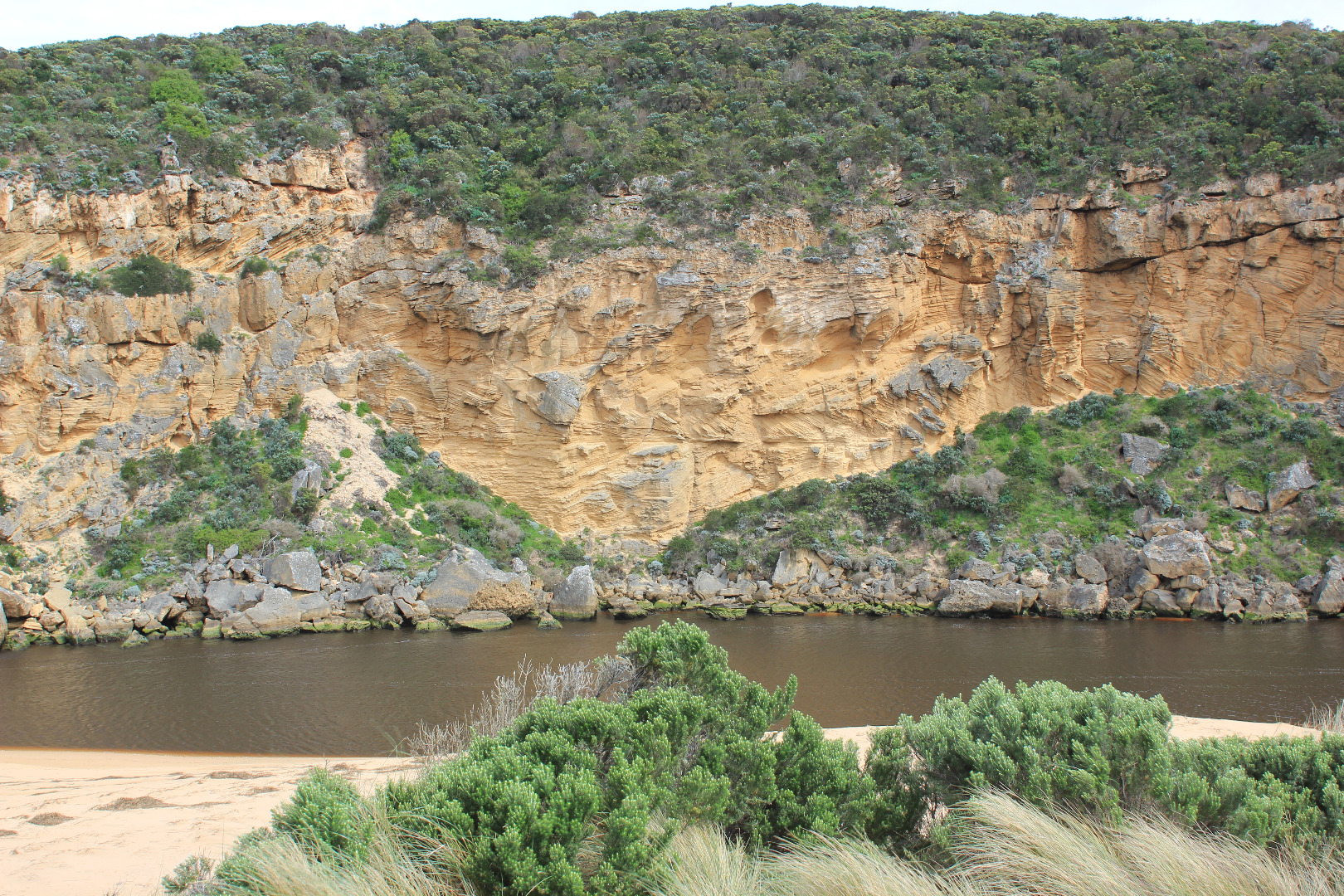
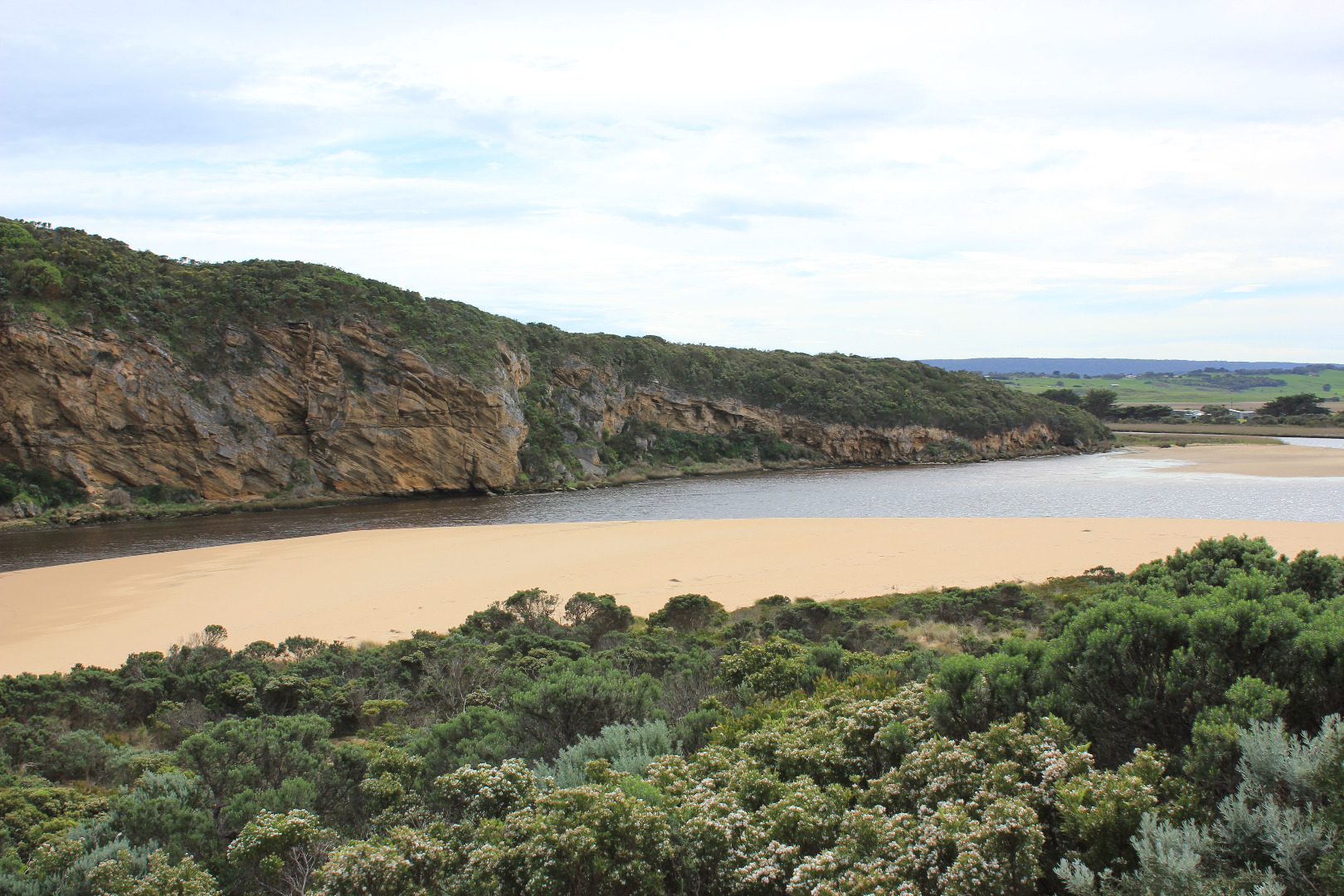
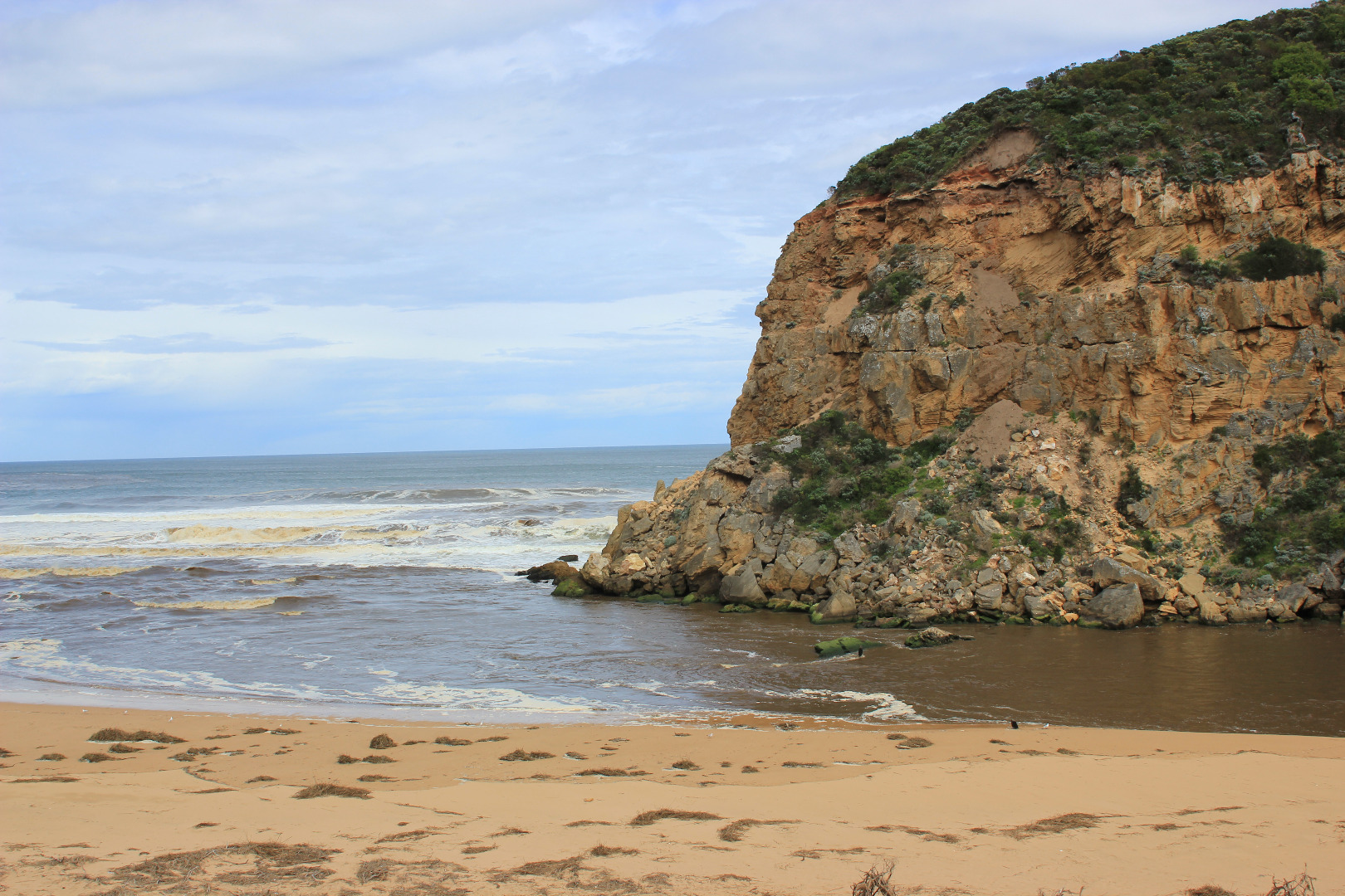
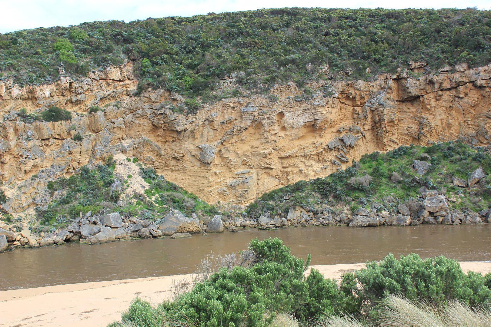
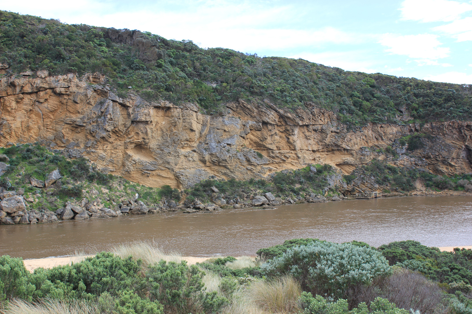
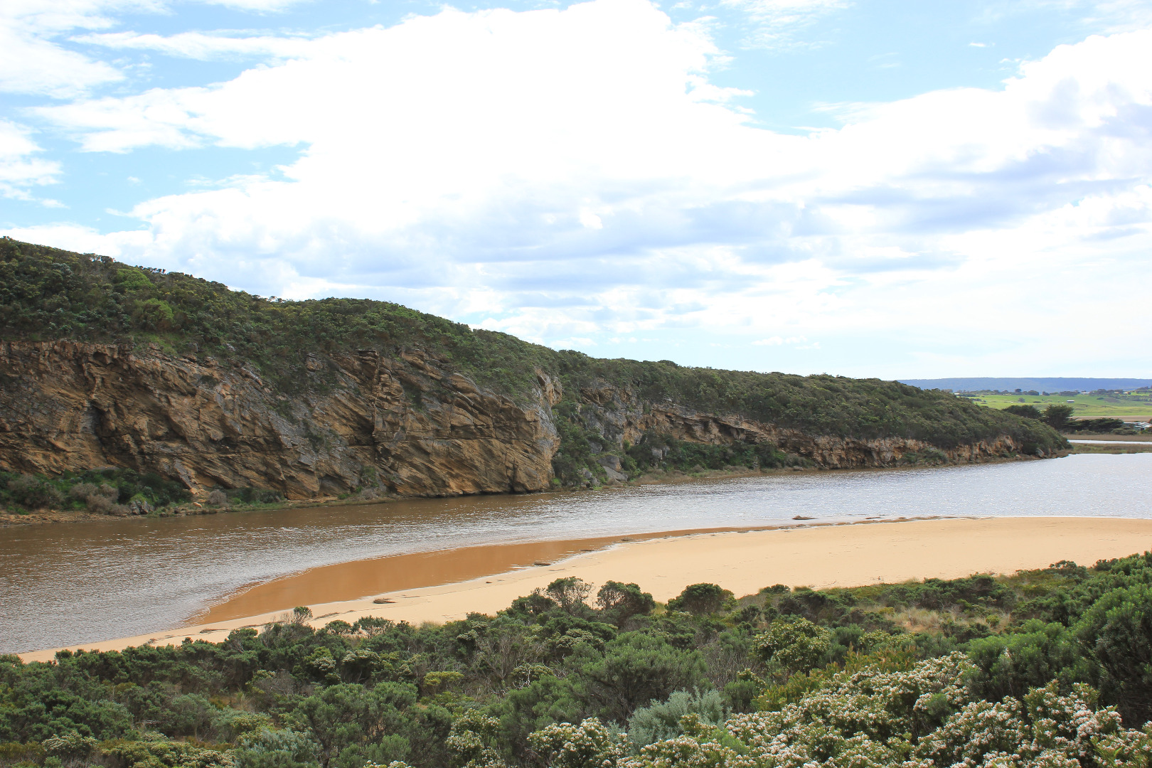
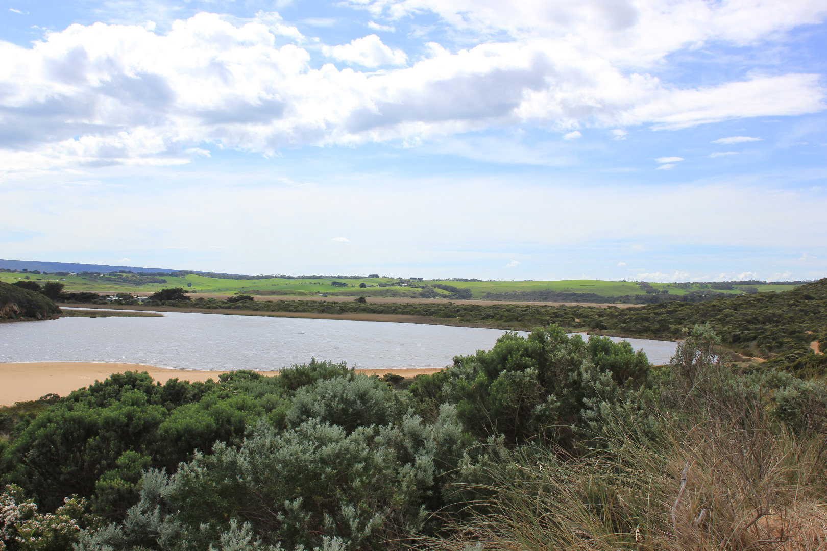
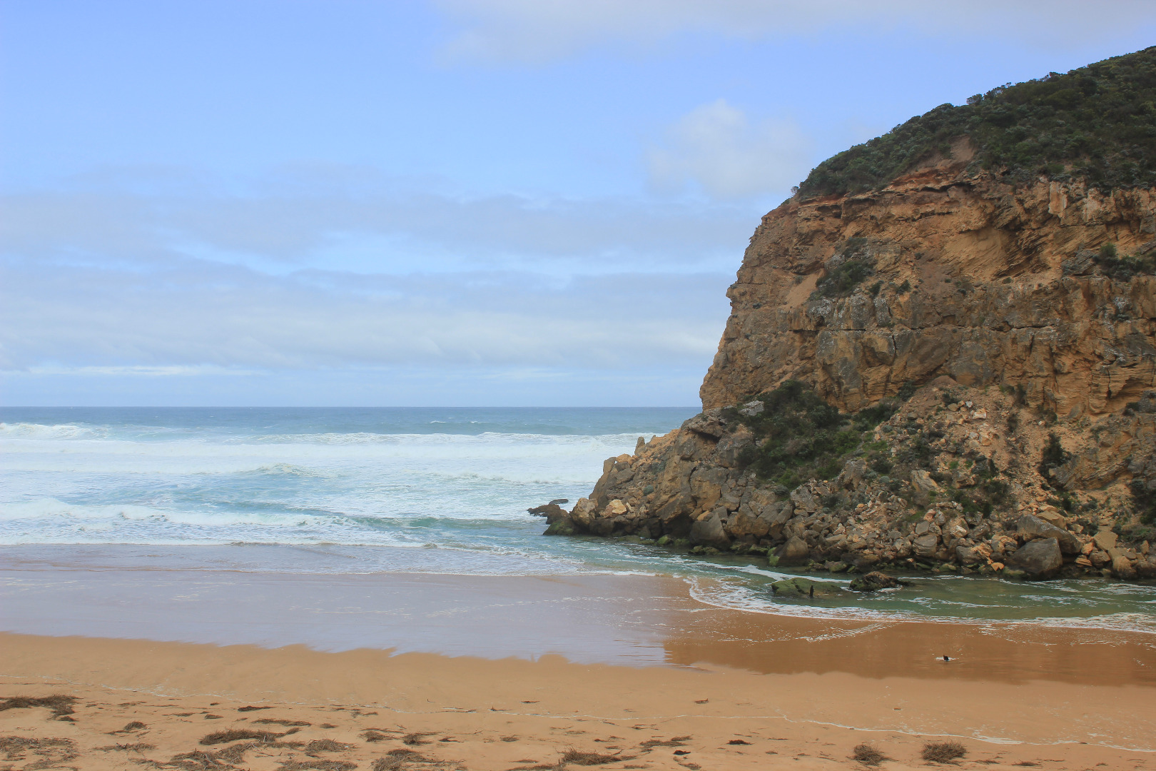
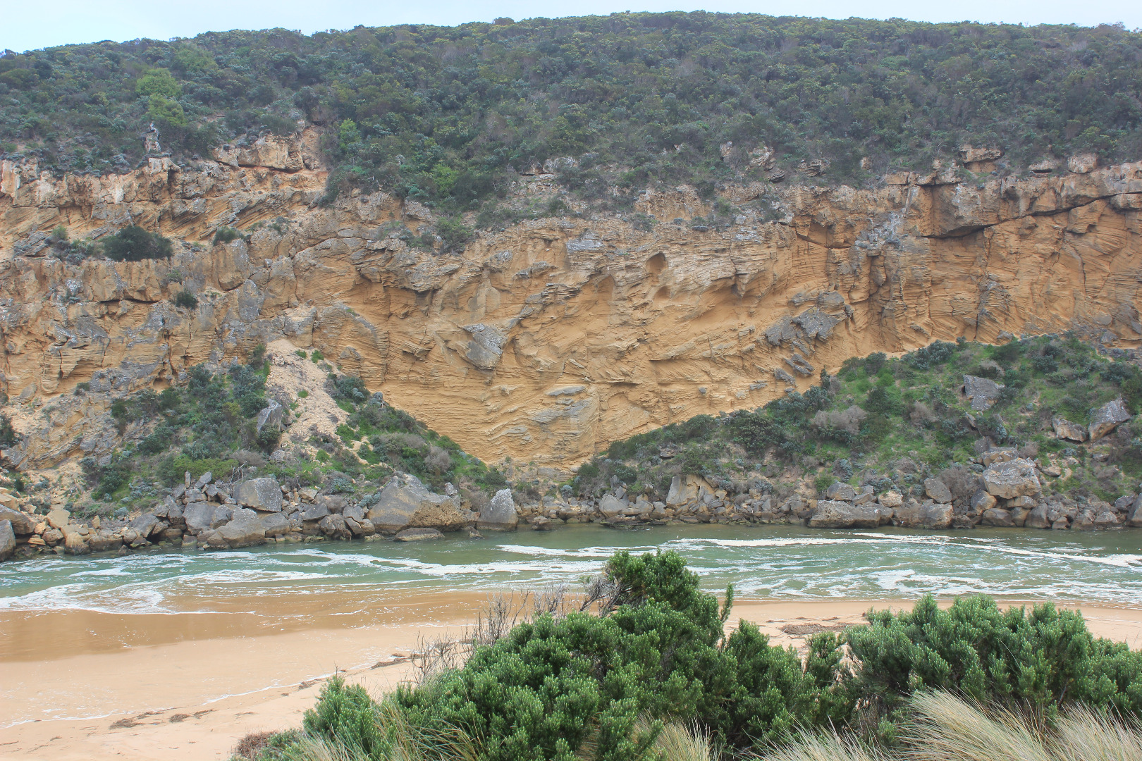
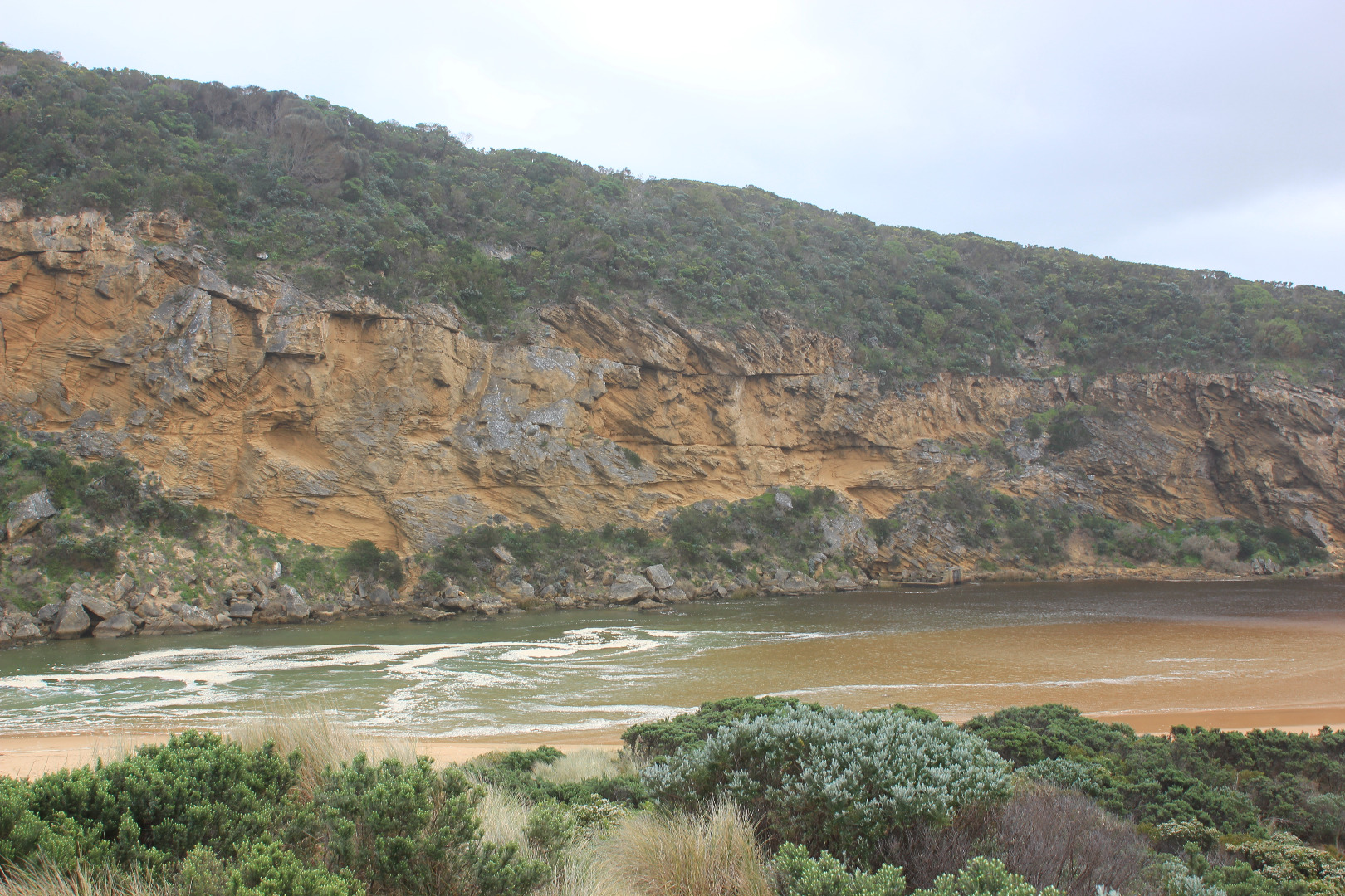
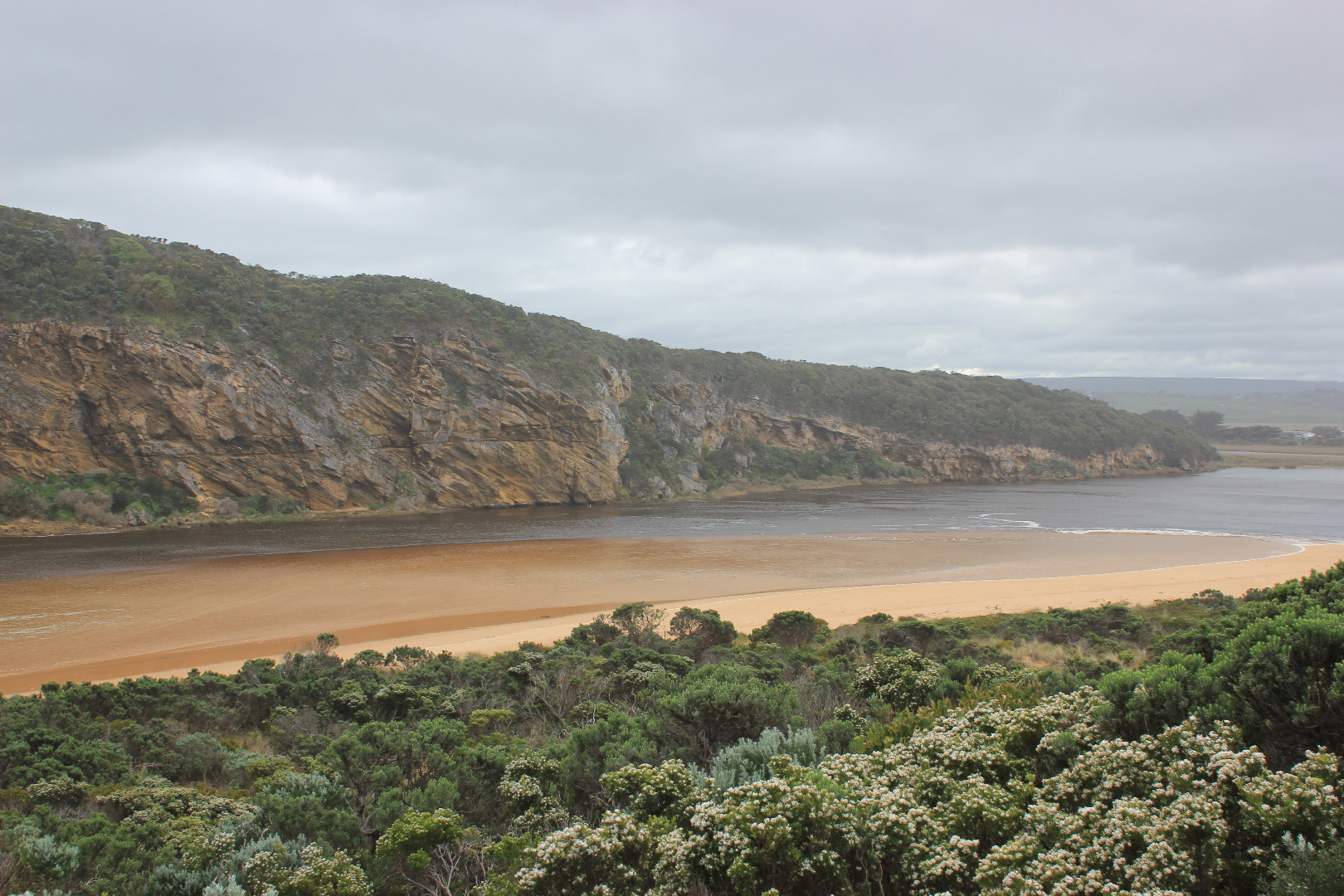
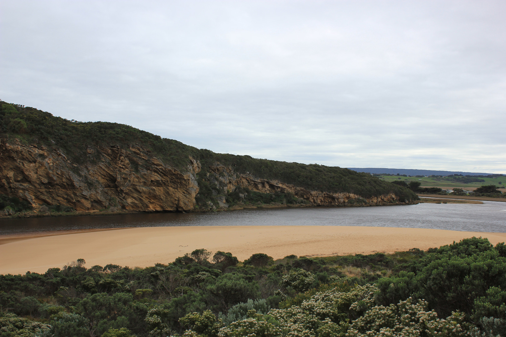
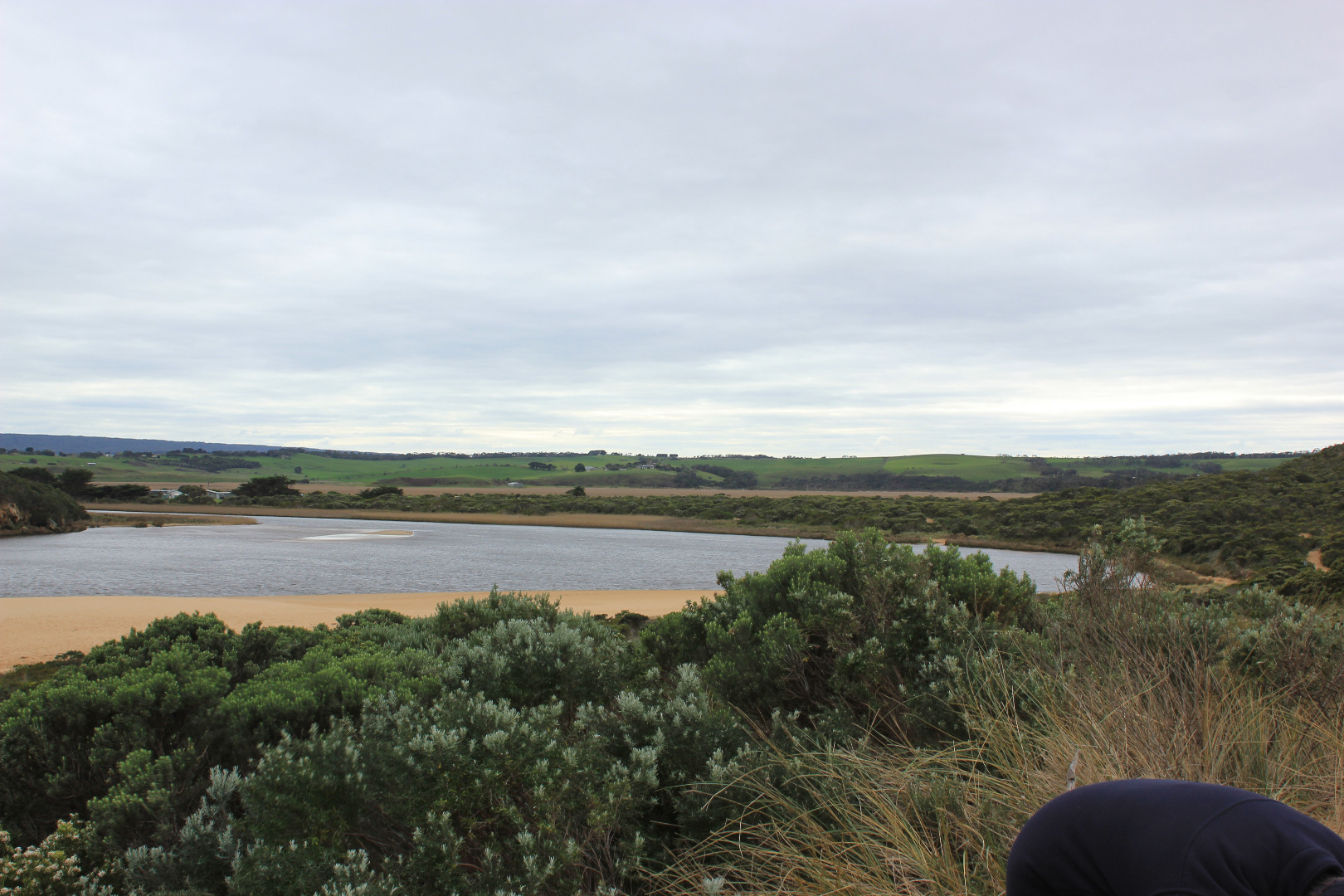
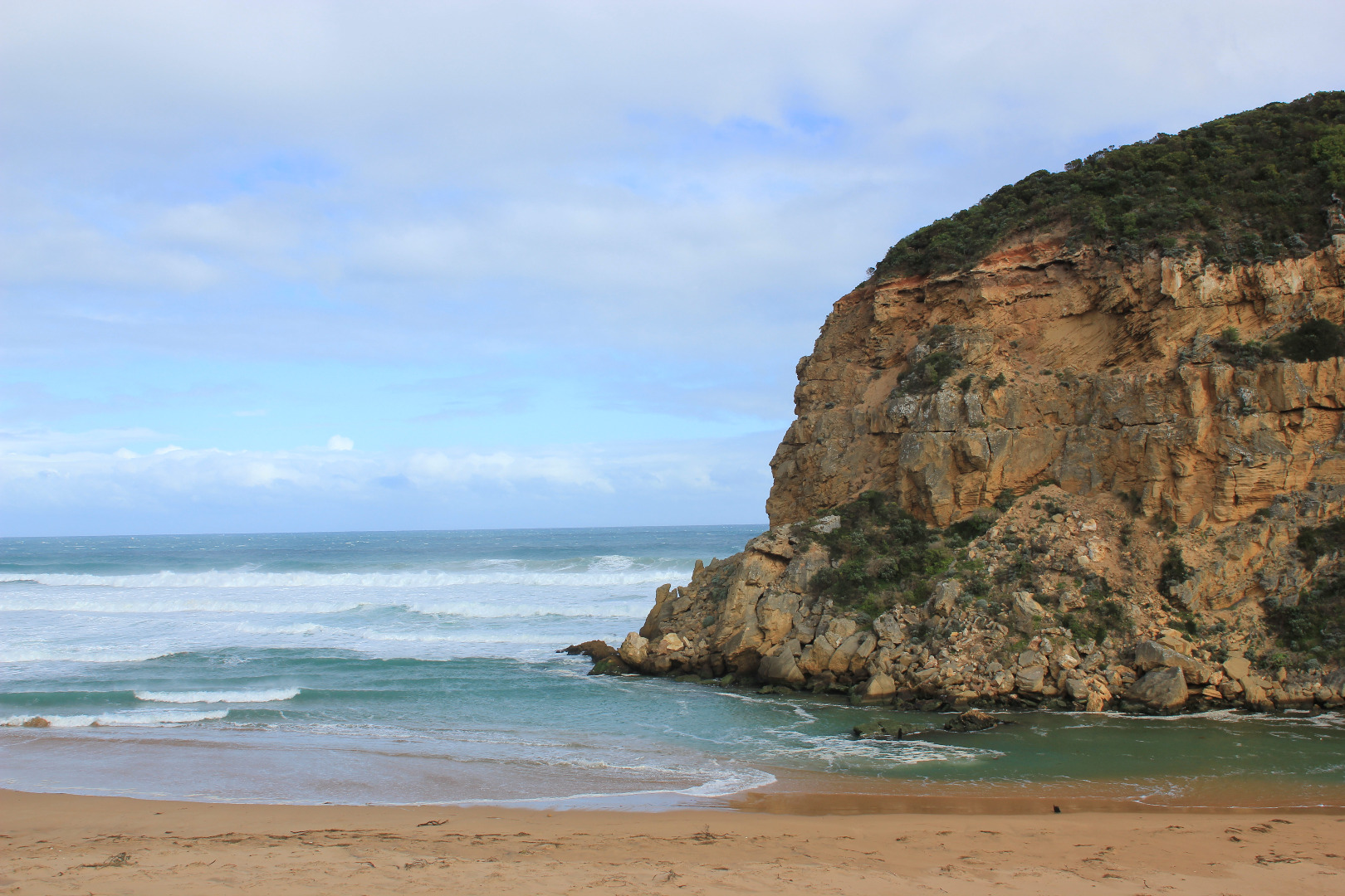
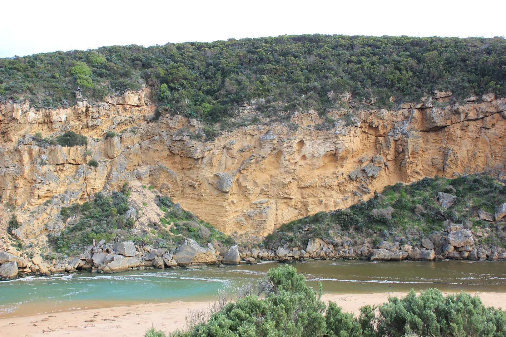
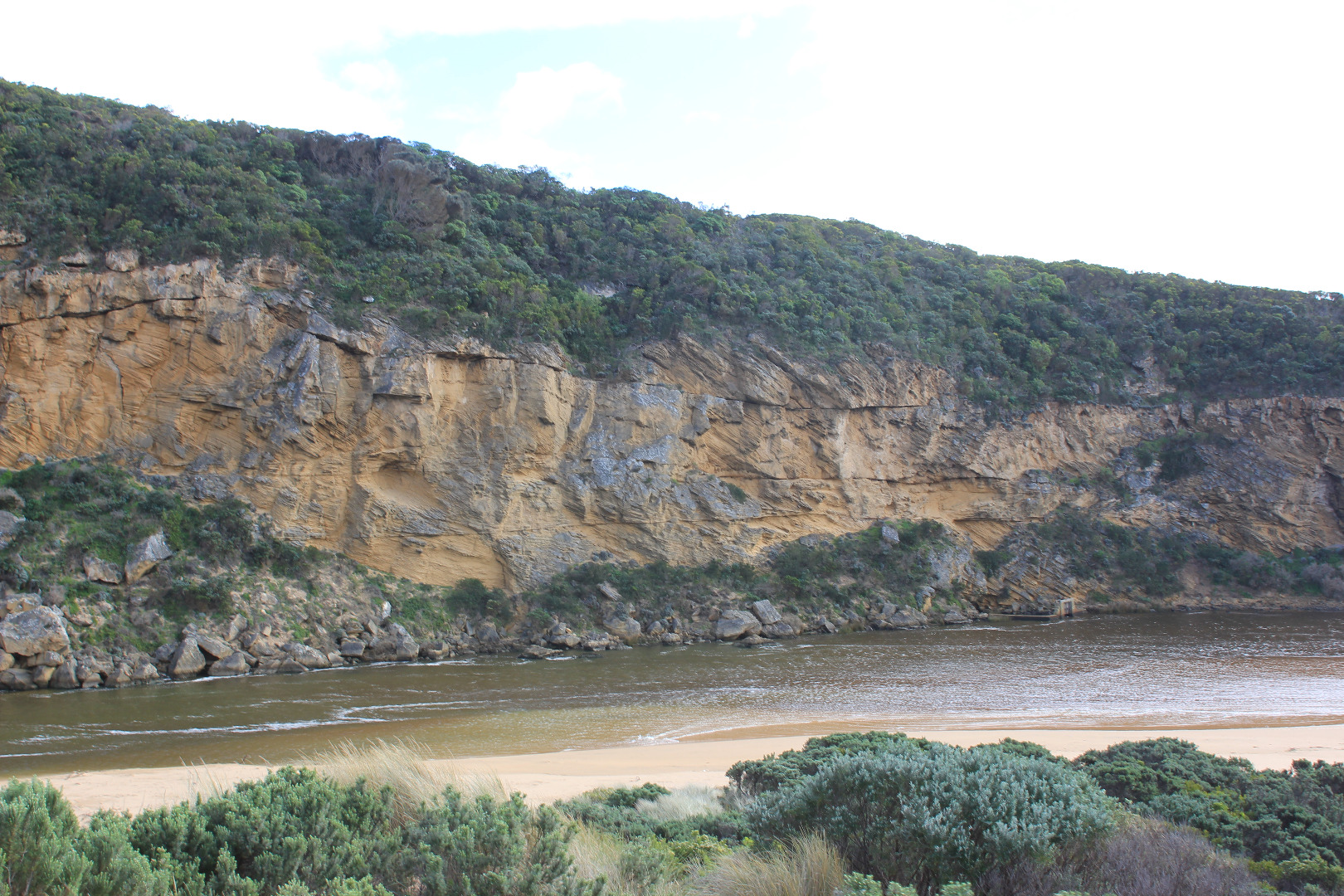
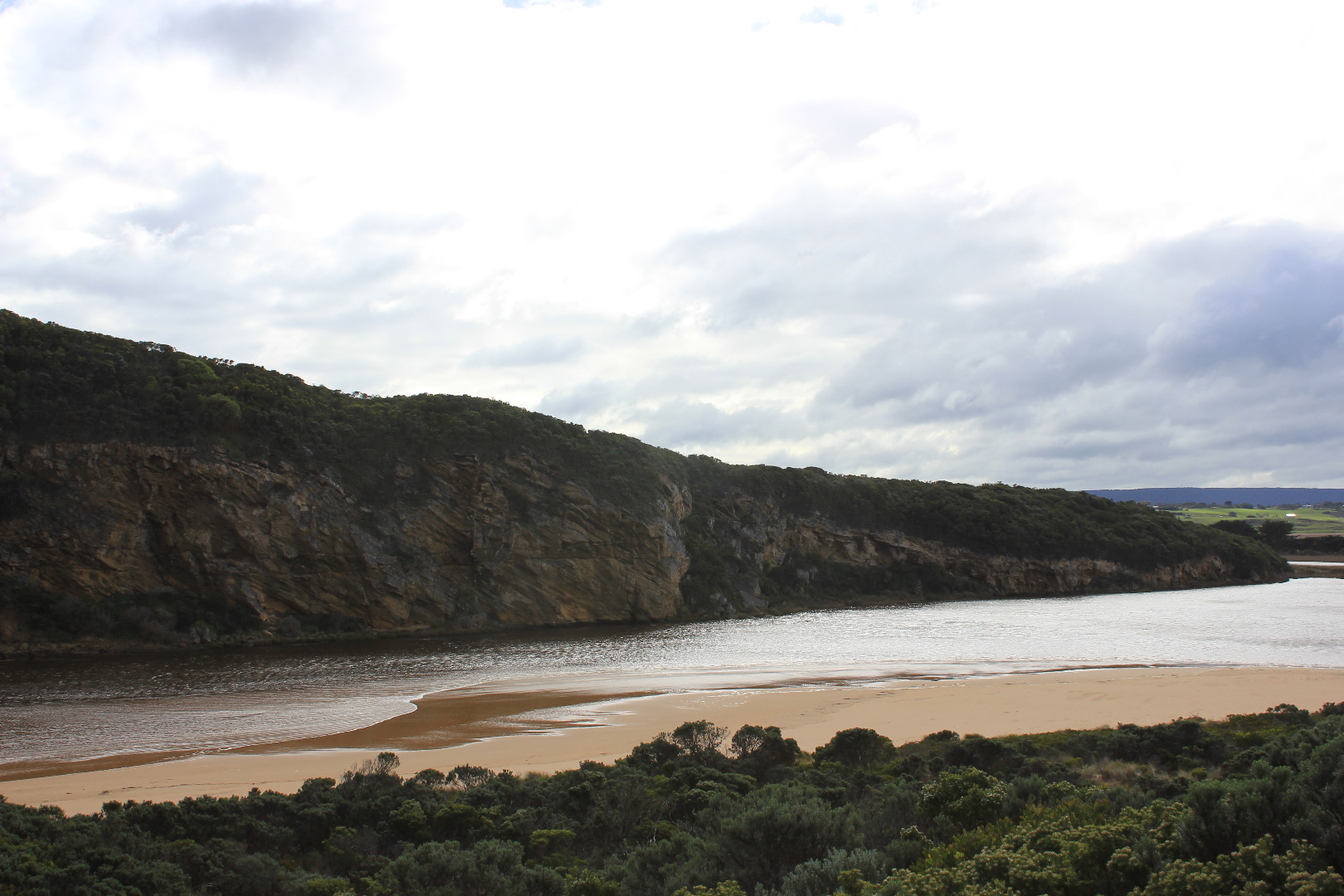
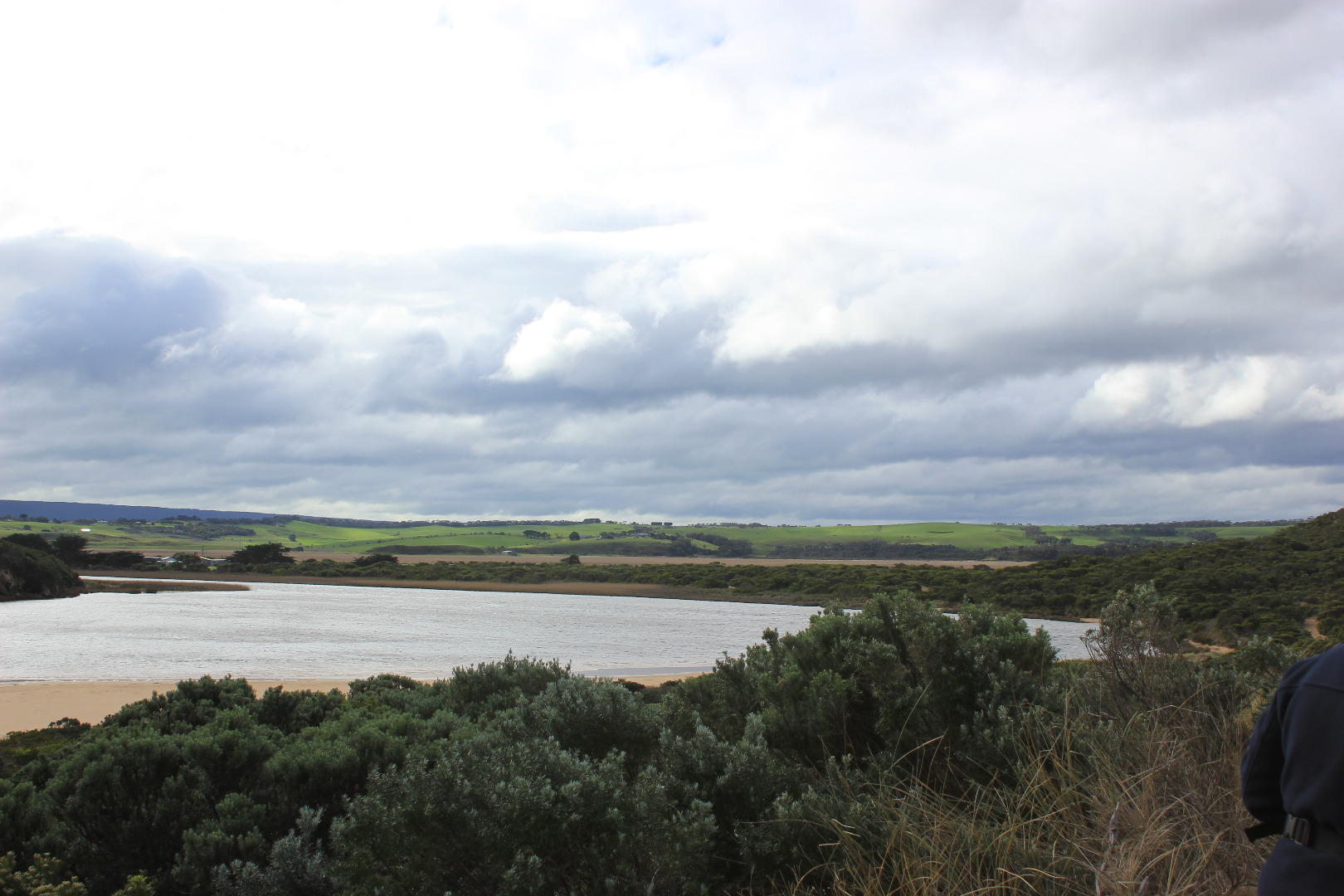
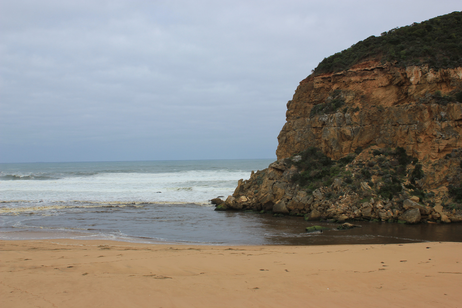
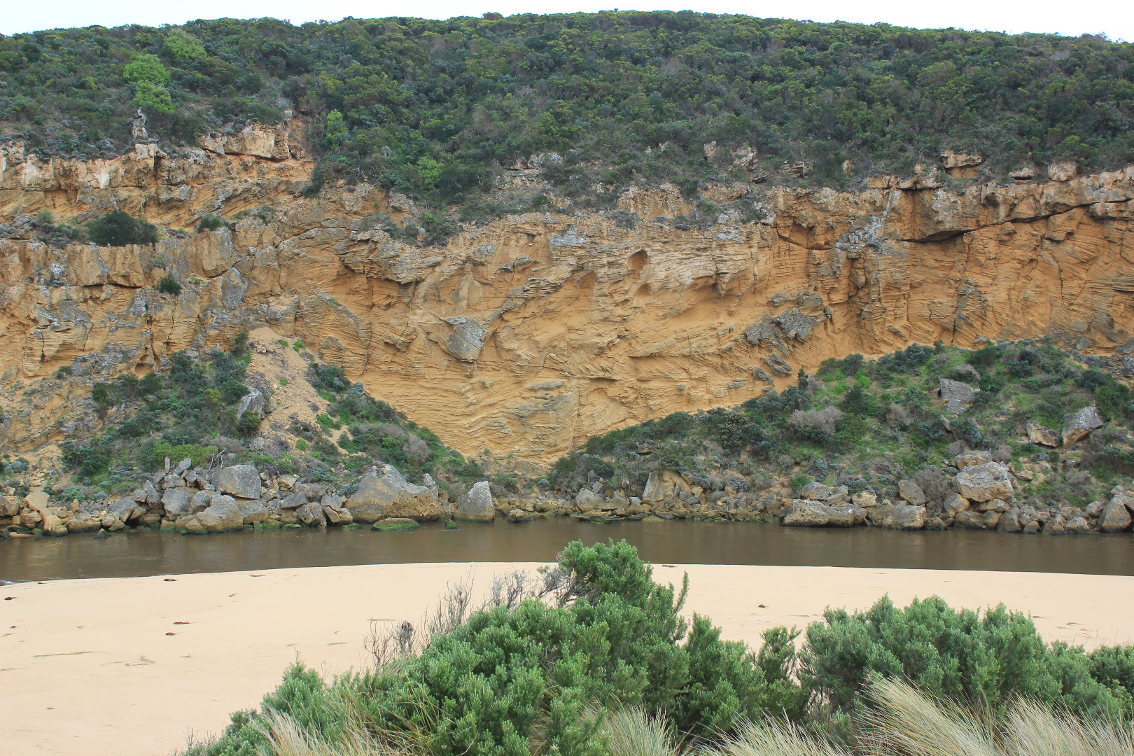
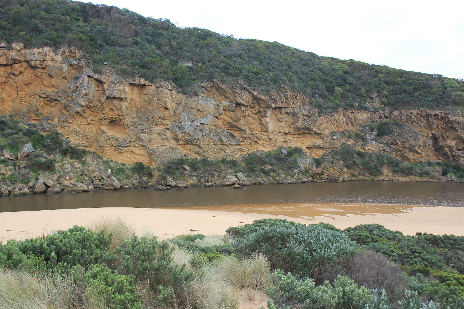
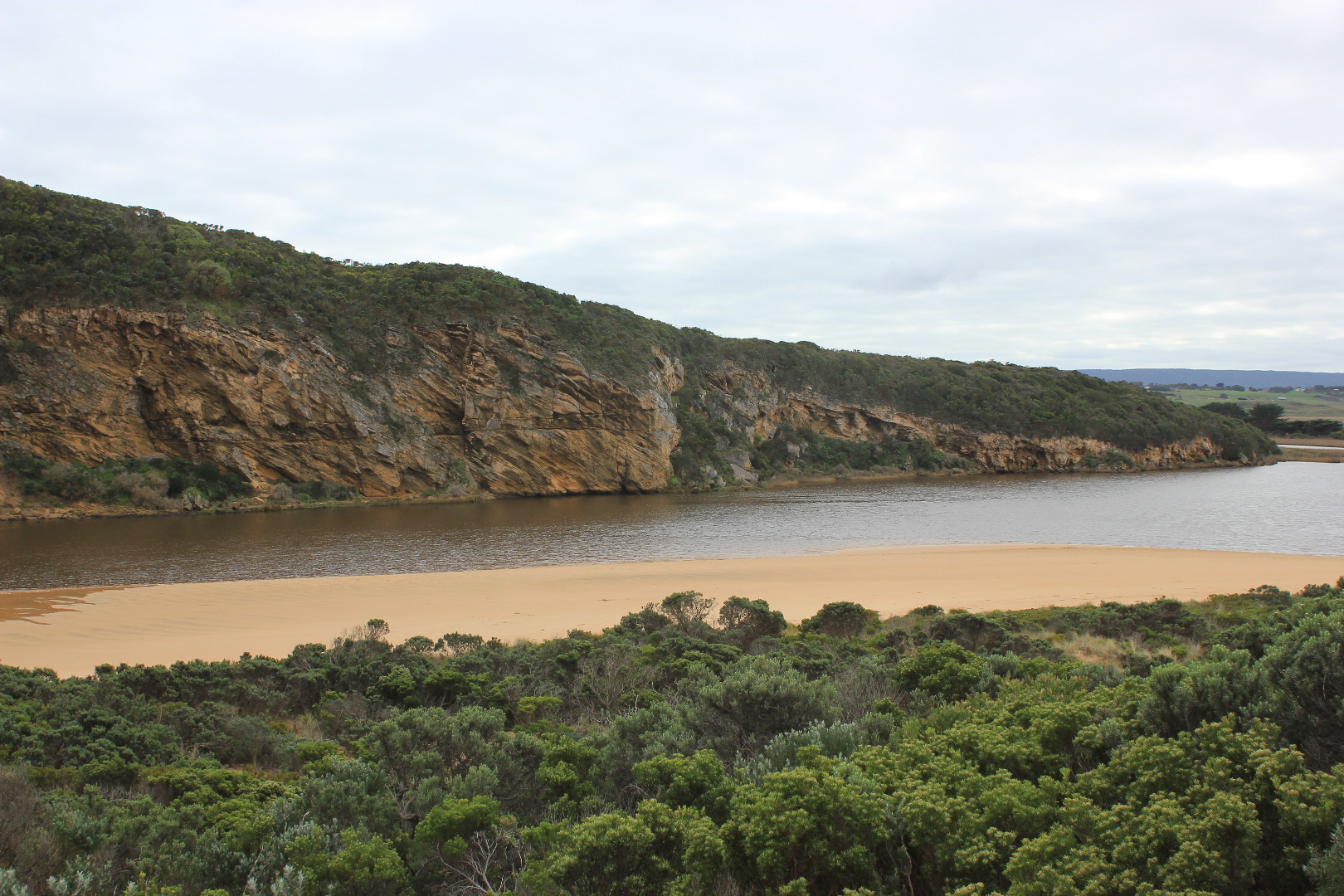
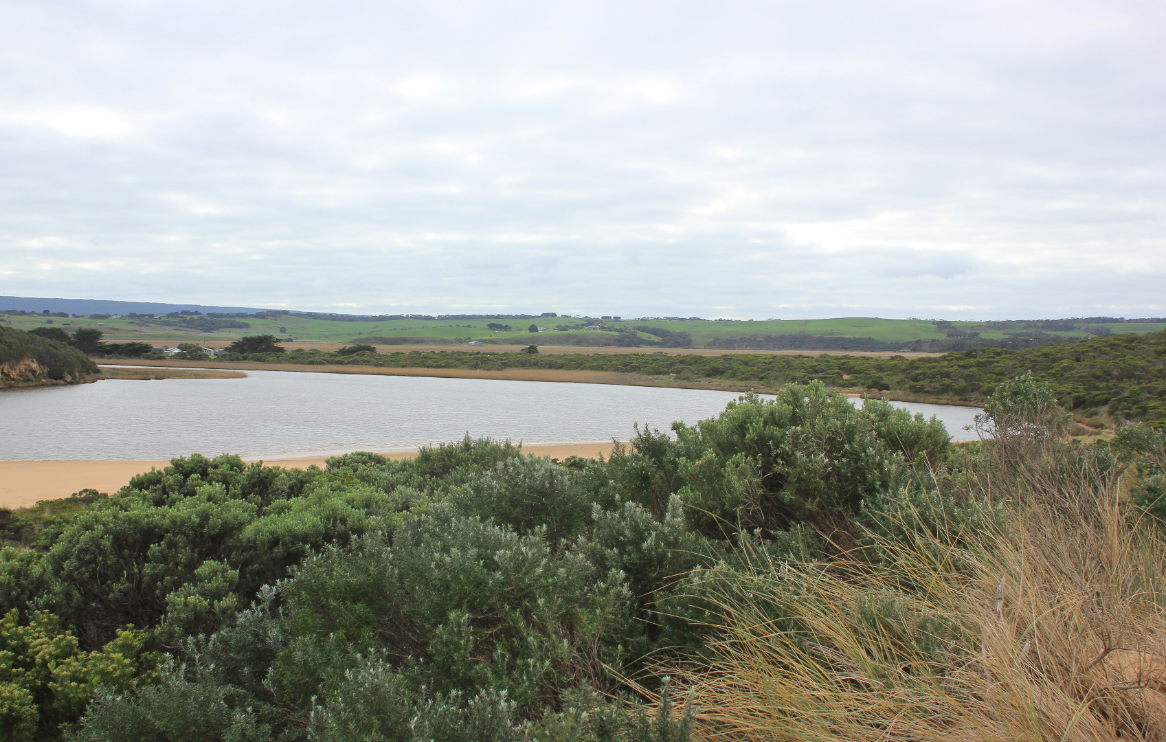
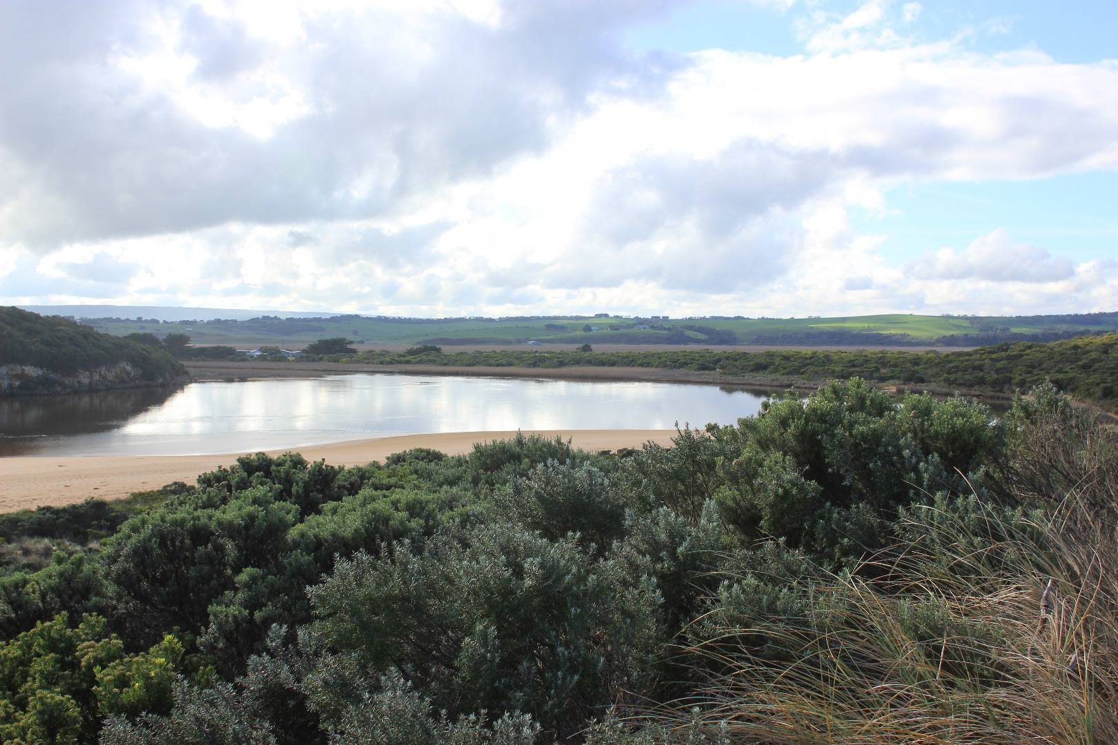
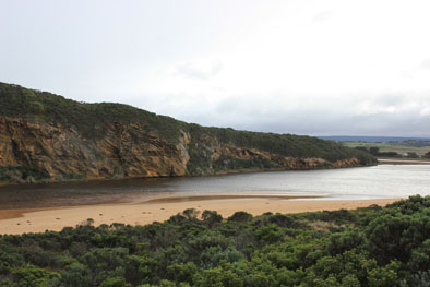
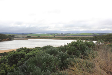
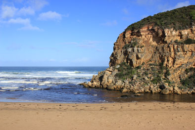
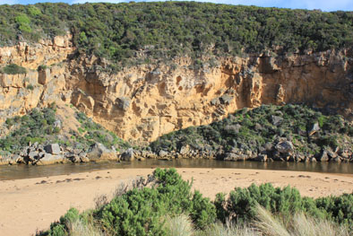
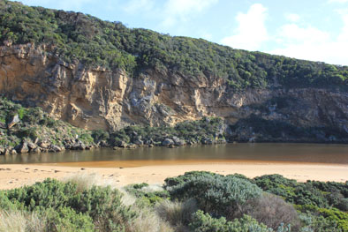
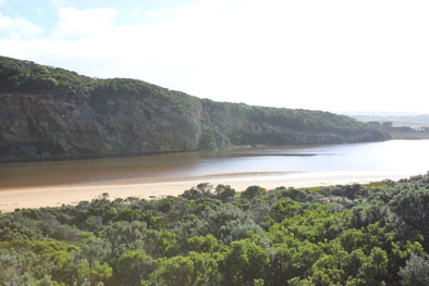
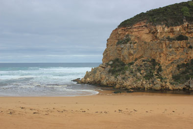
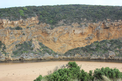
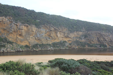
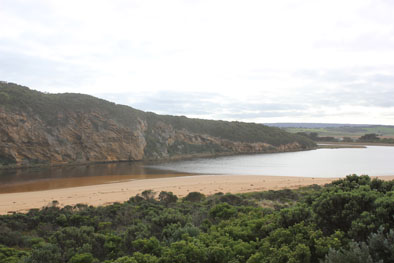
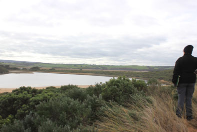
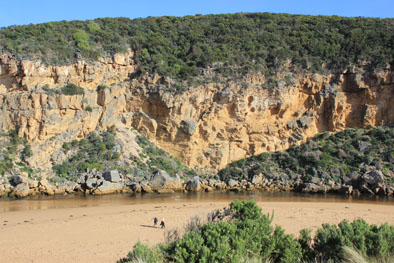
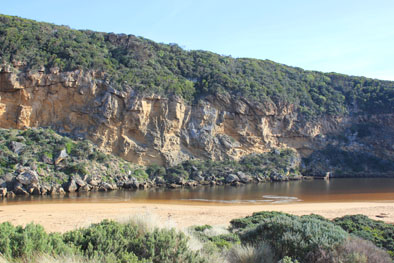
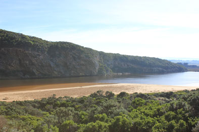
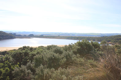
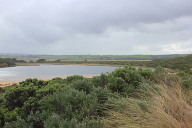
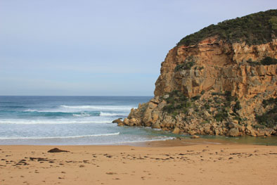
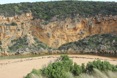
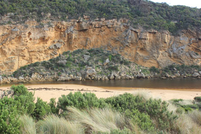
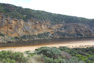
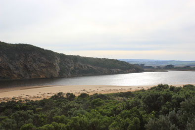
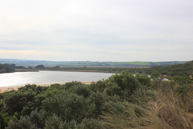
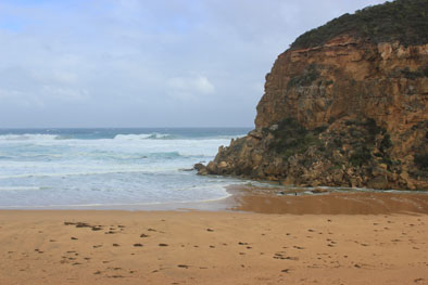
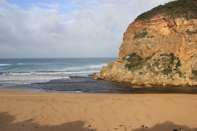
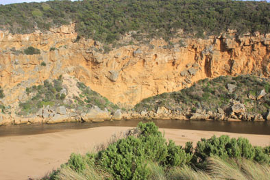
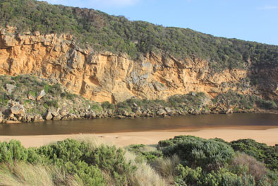
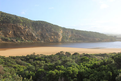
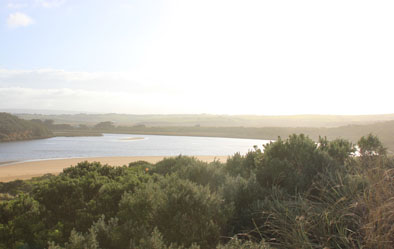
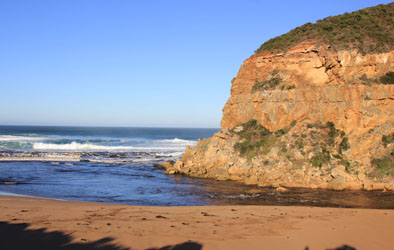
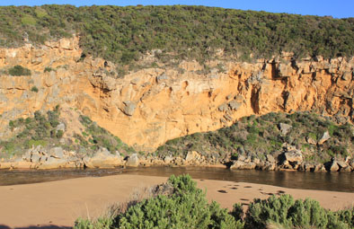
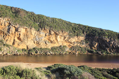
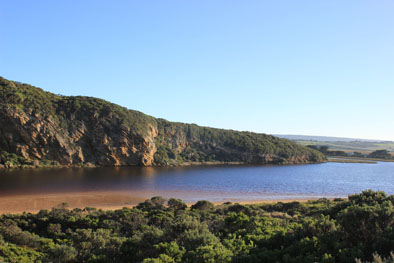
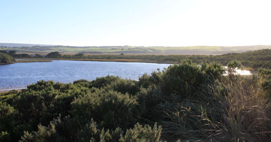
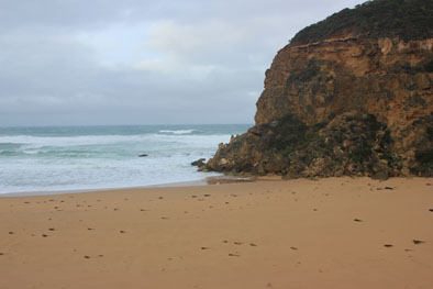
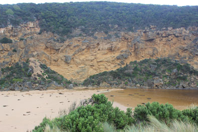
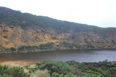
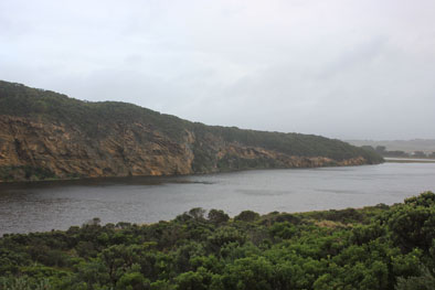
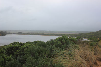
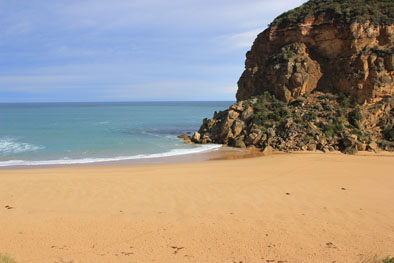
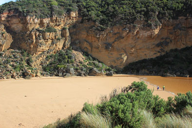
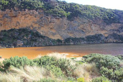
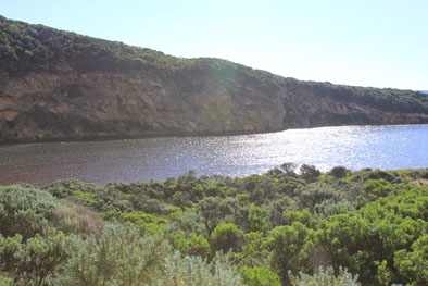
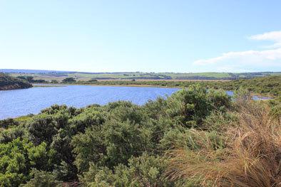
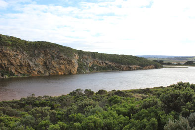
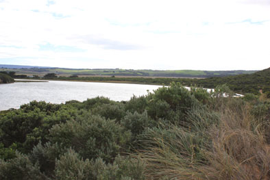
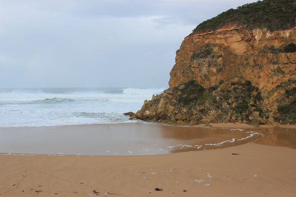
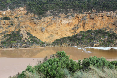
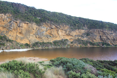
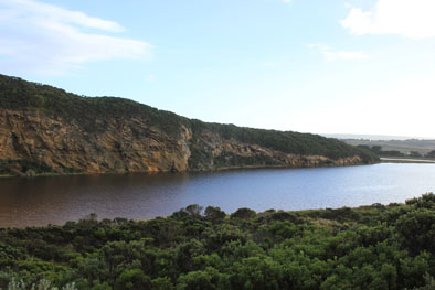
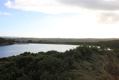
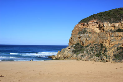
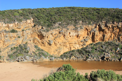
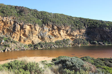
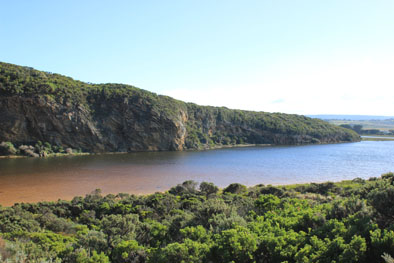
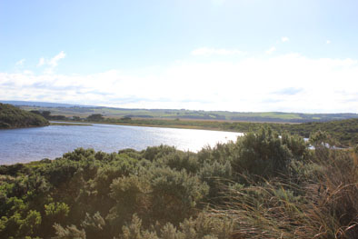
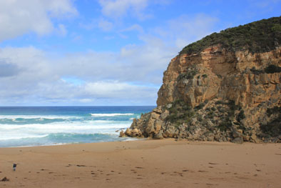
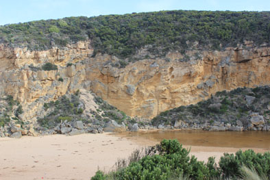
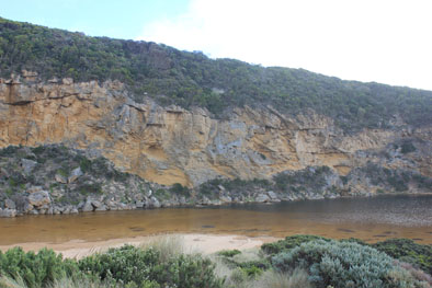
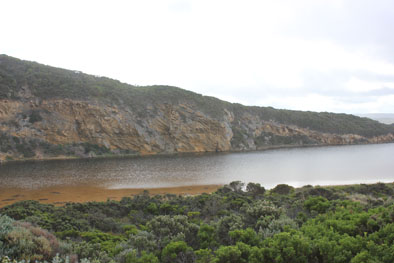
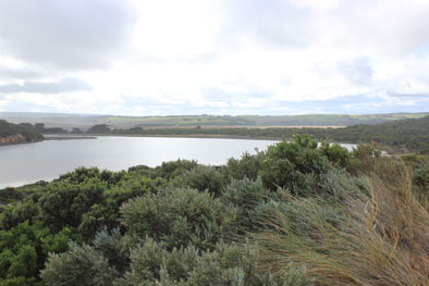
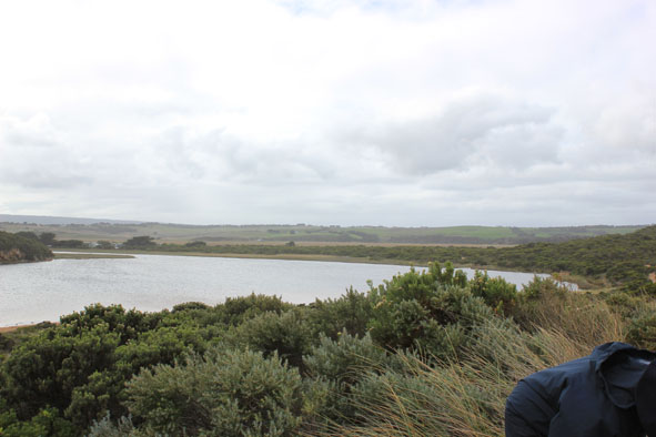
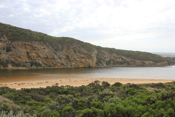
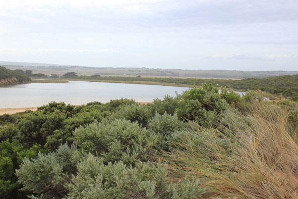
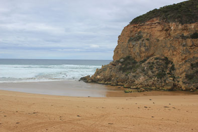
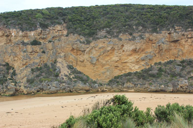
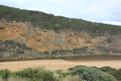
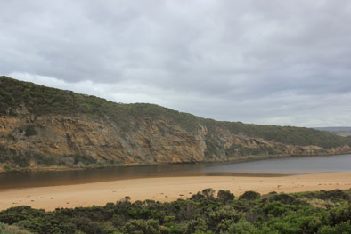
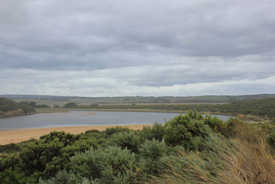
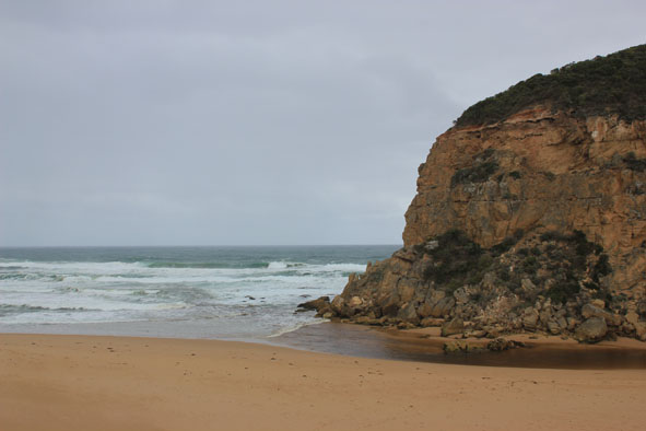
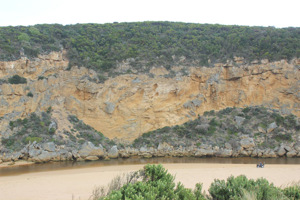
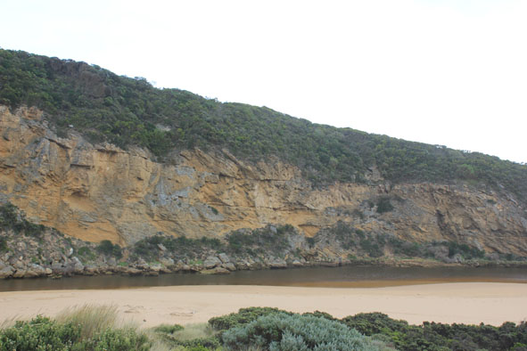
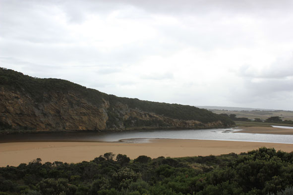
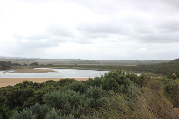
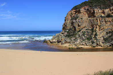
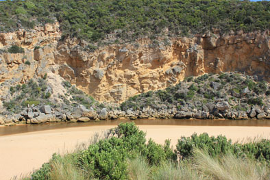
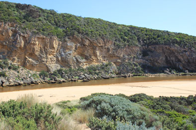
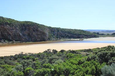
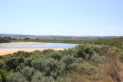
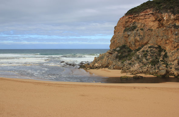
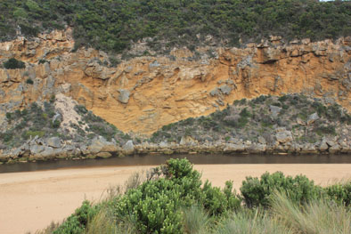
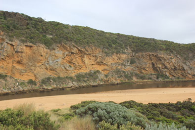
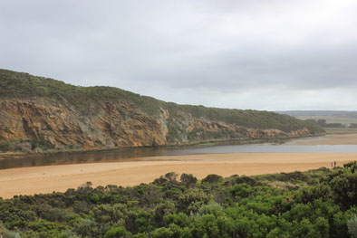
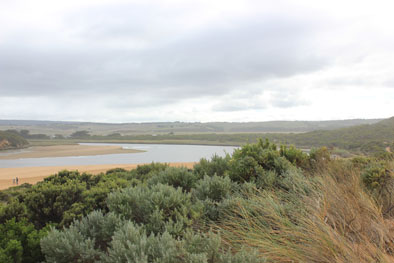
GMC Gellibrand River Estuary Mouth Observation Site
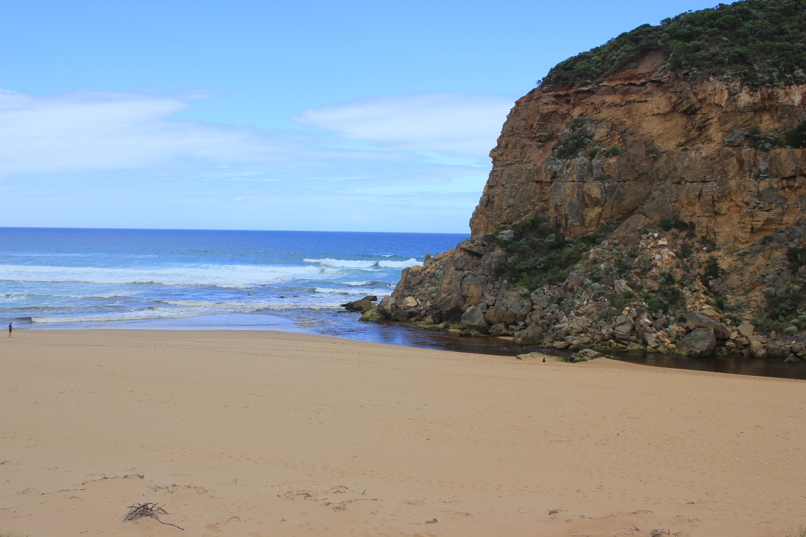
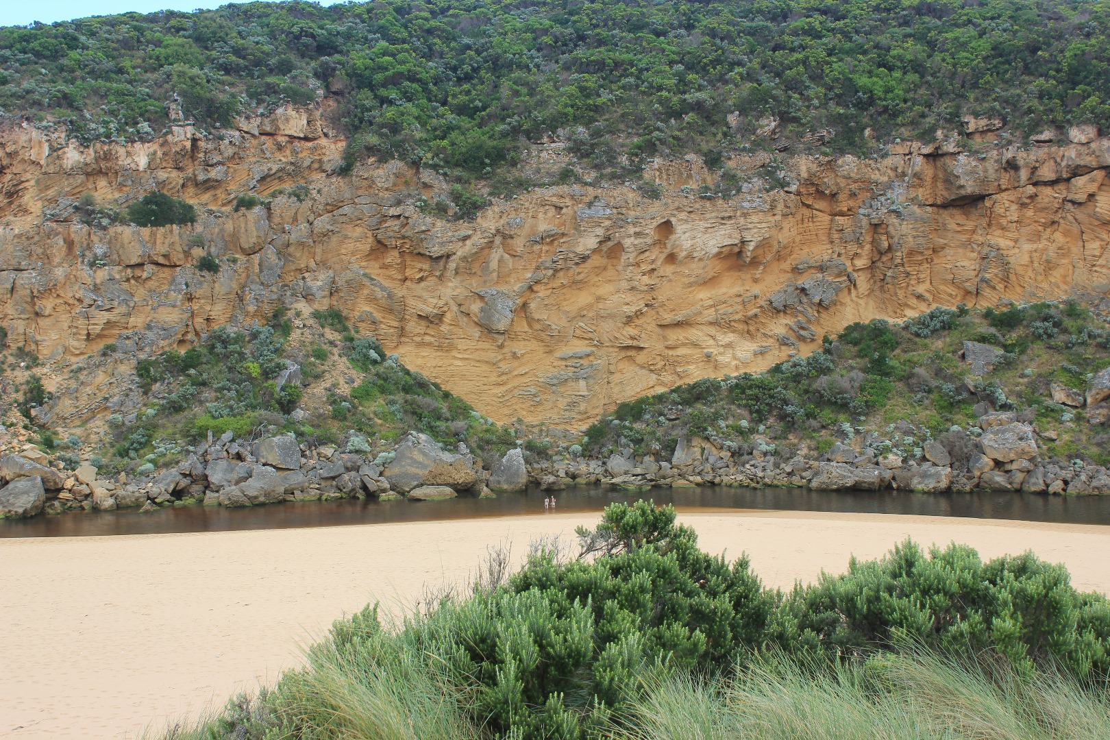
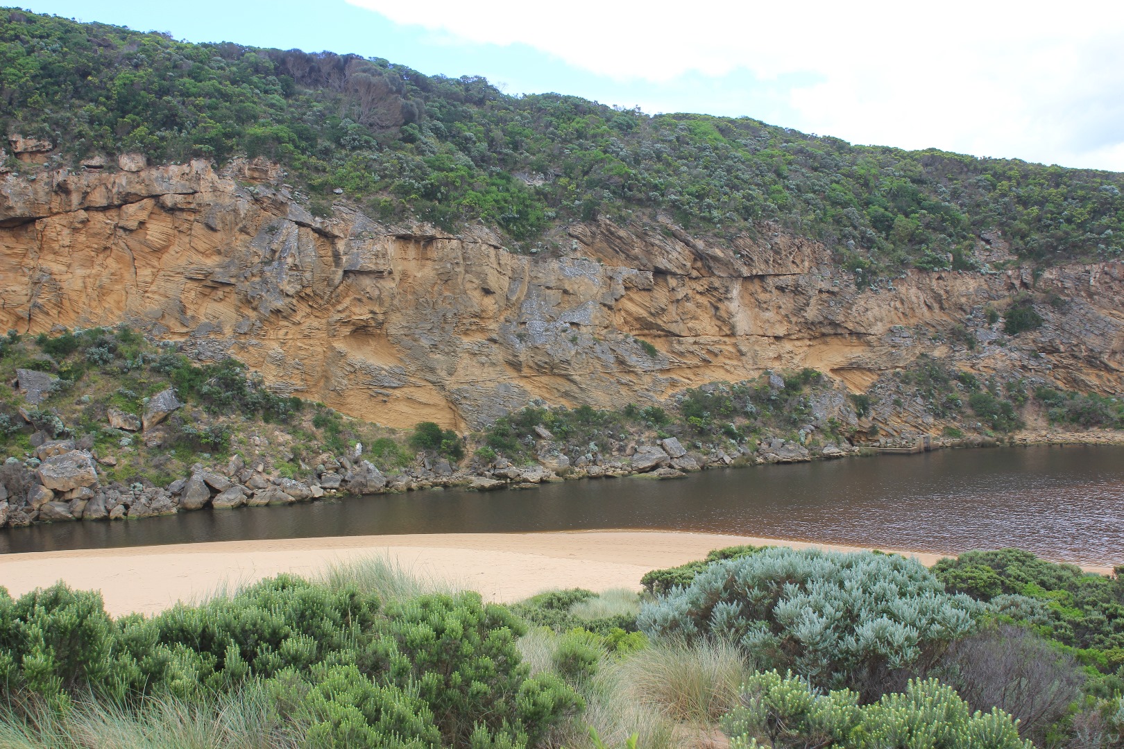
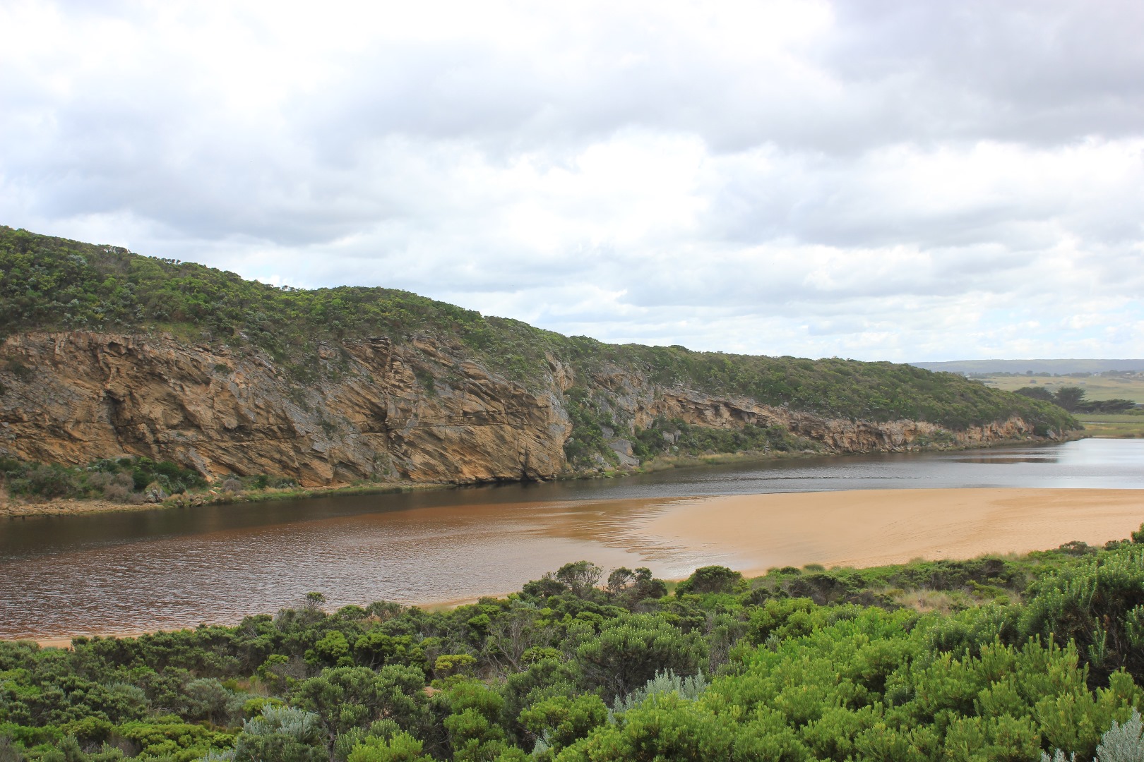
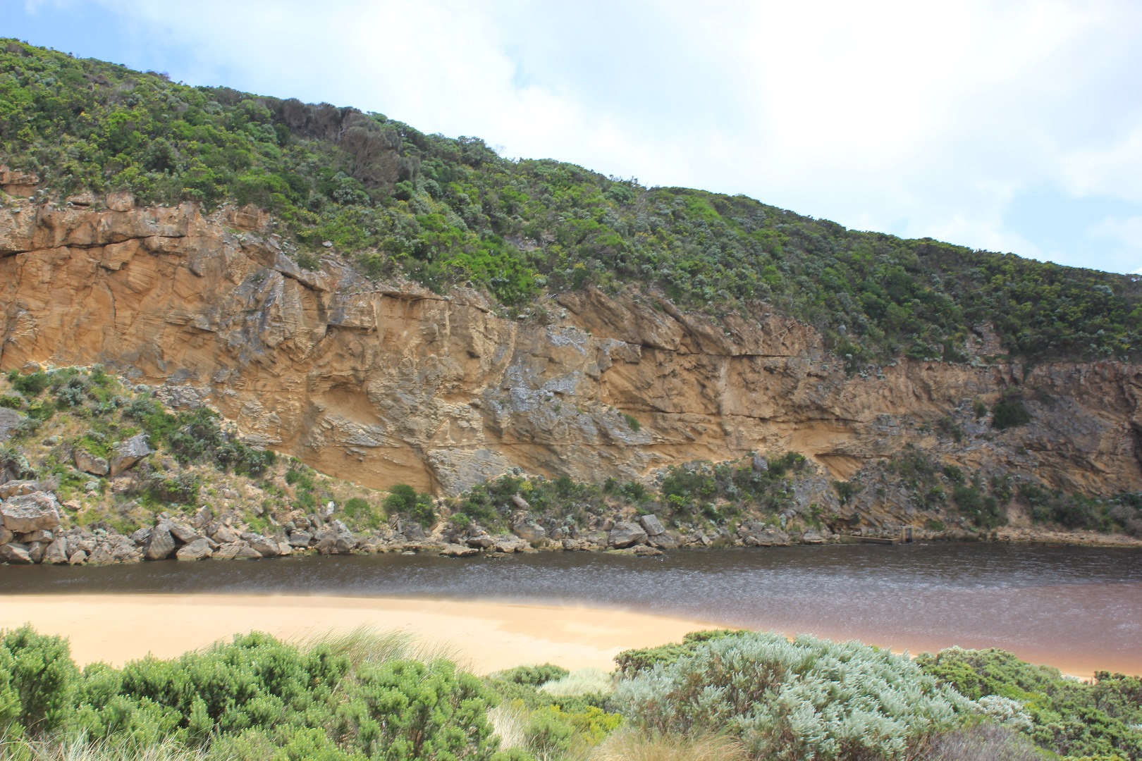
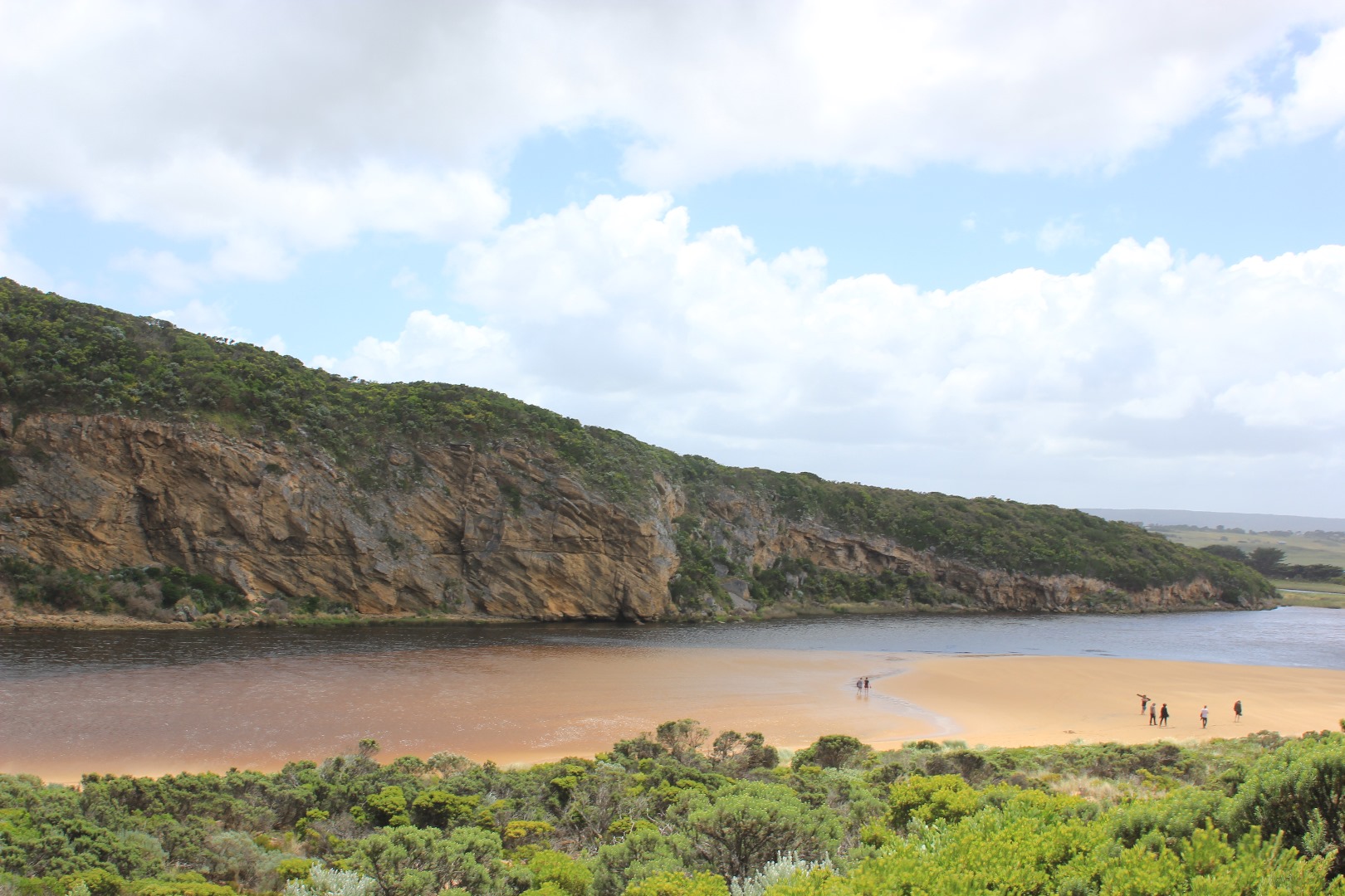
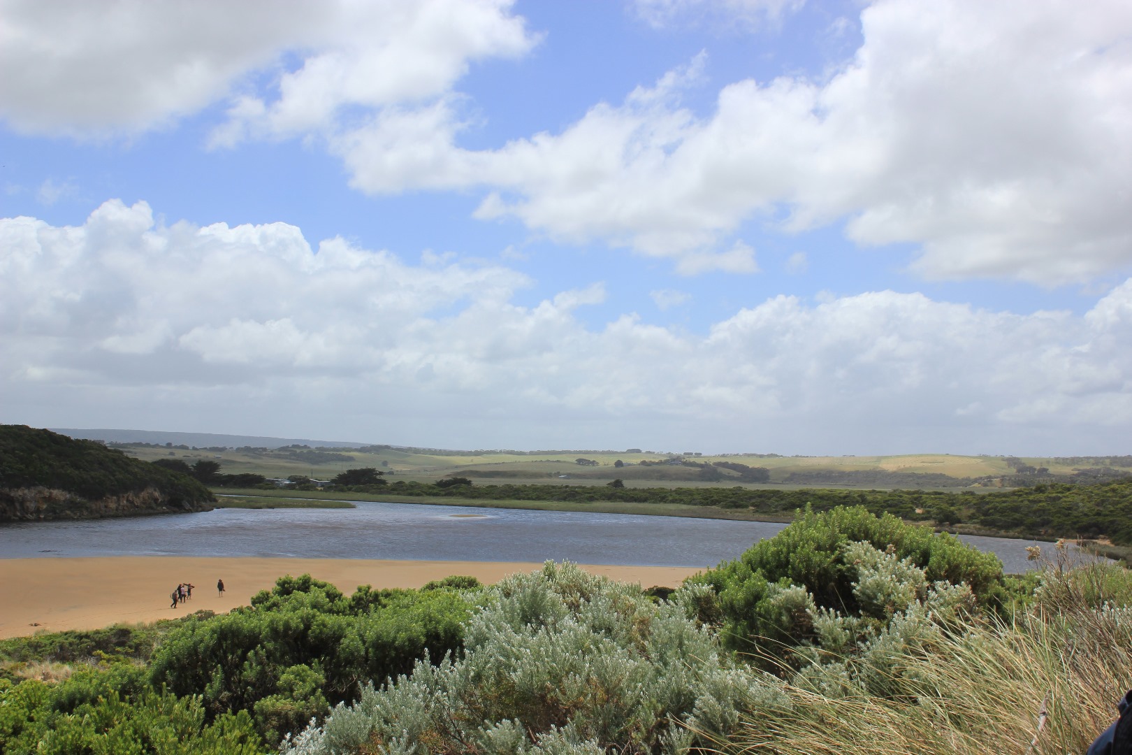
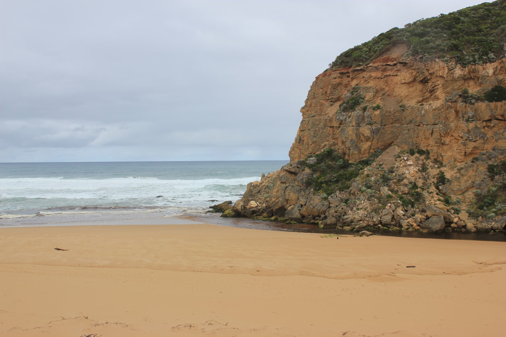
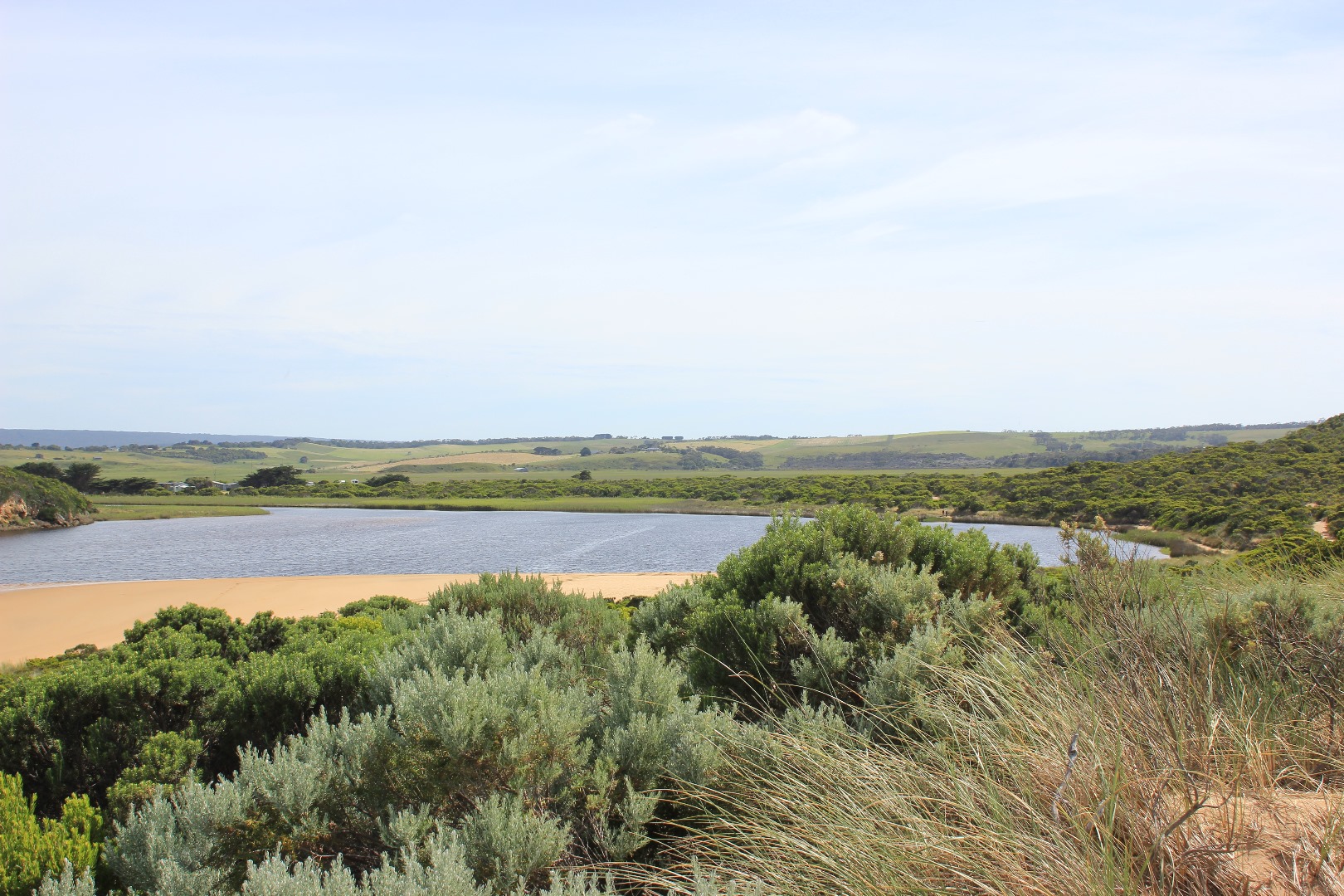
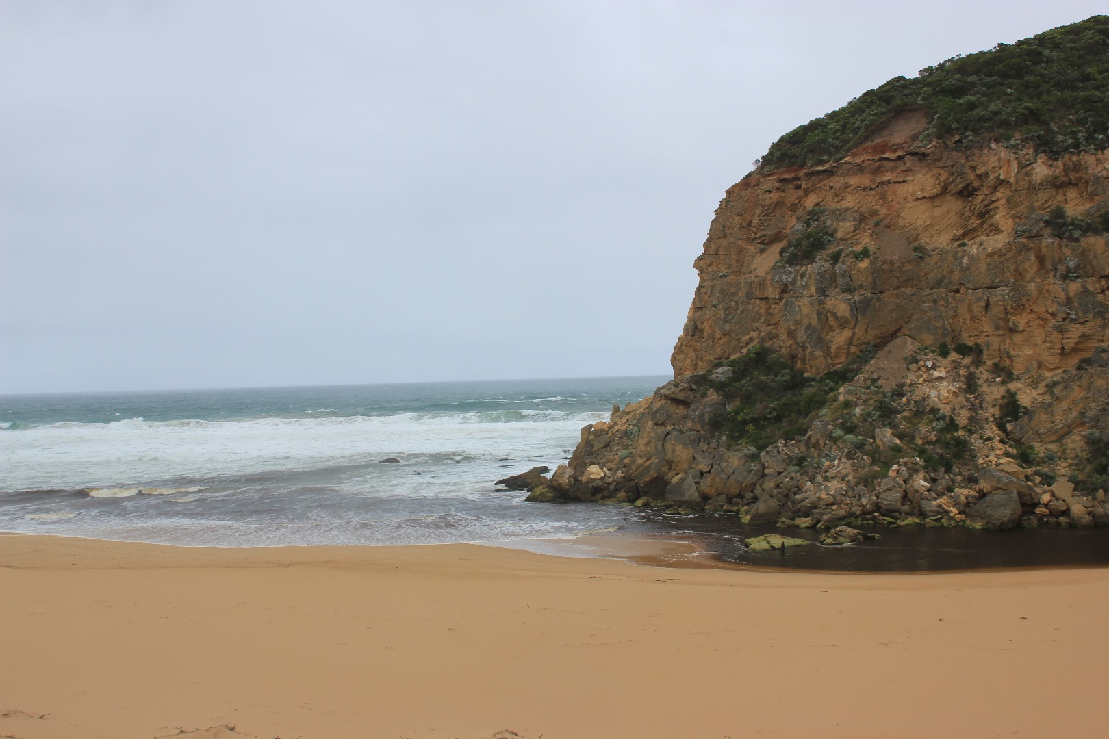
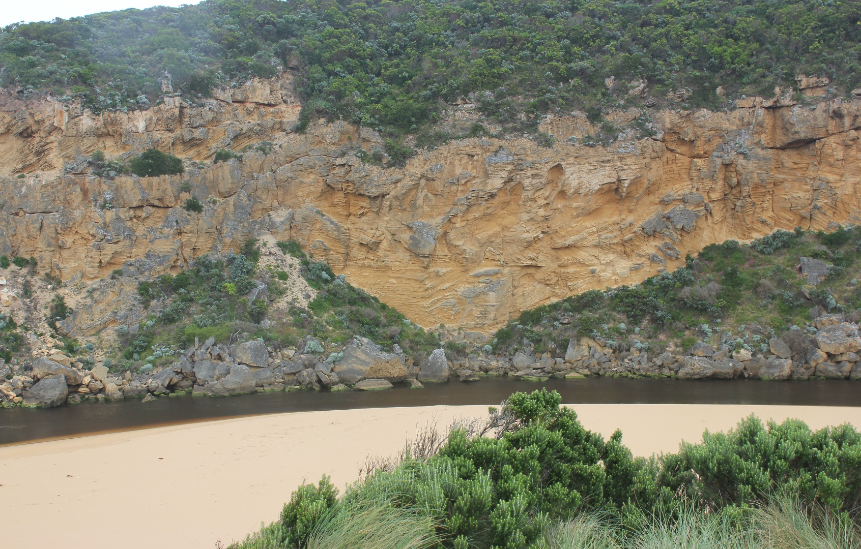
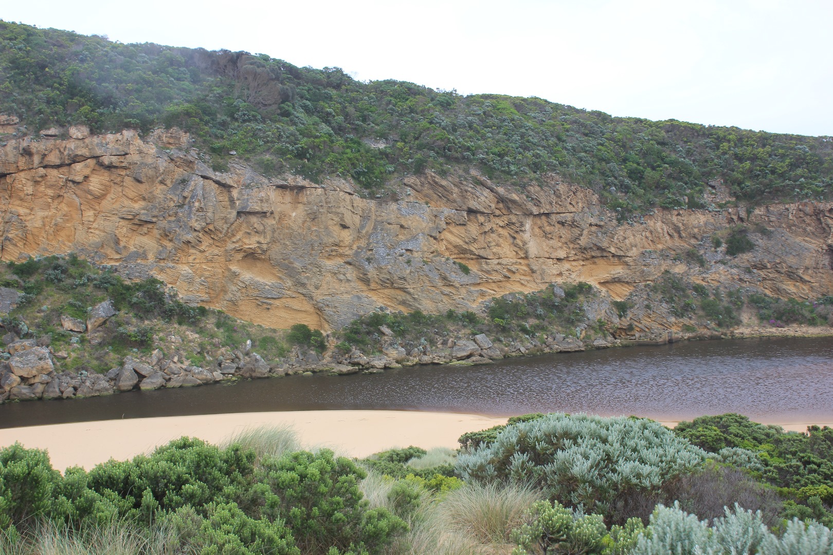
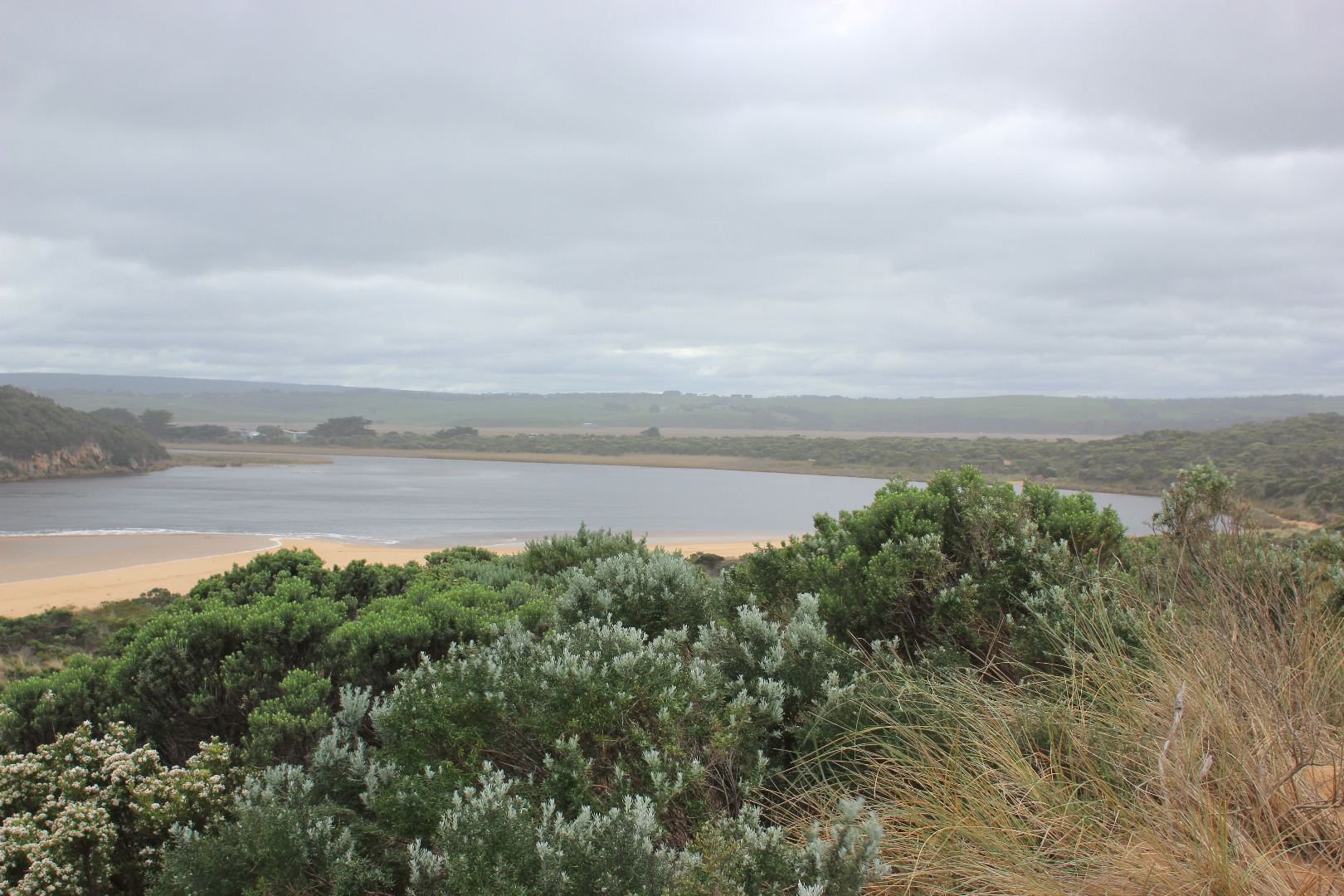
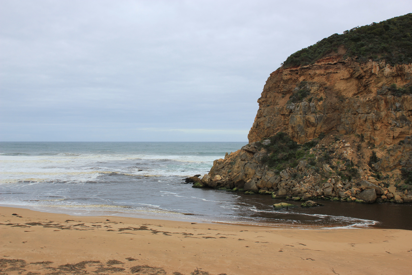
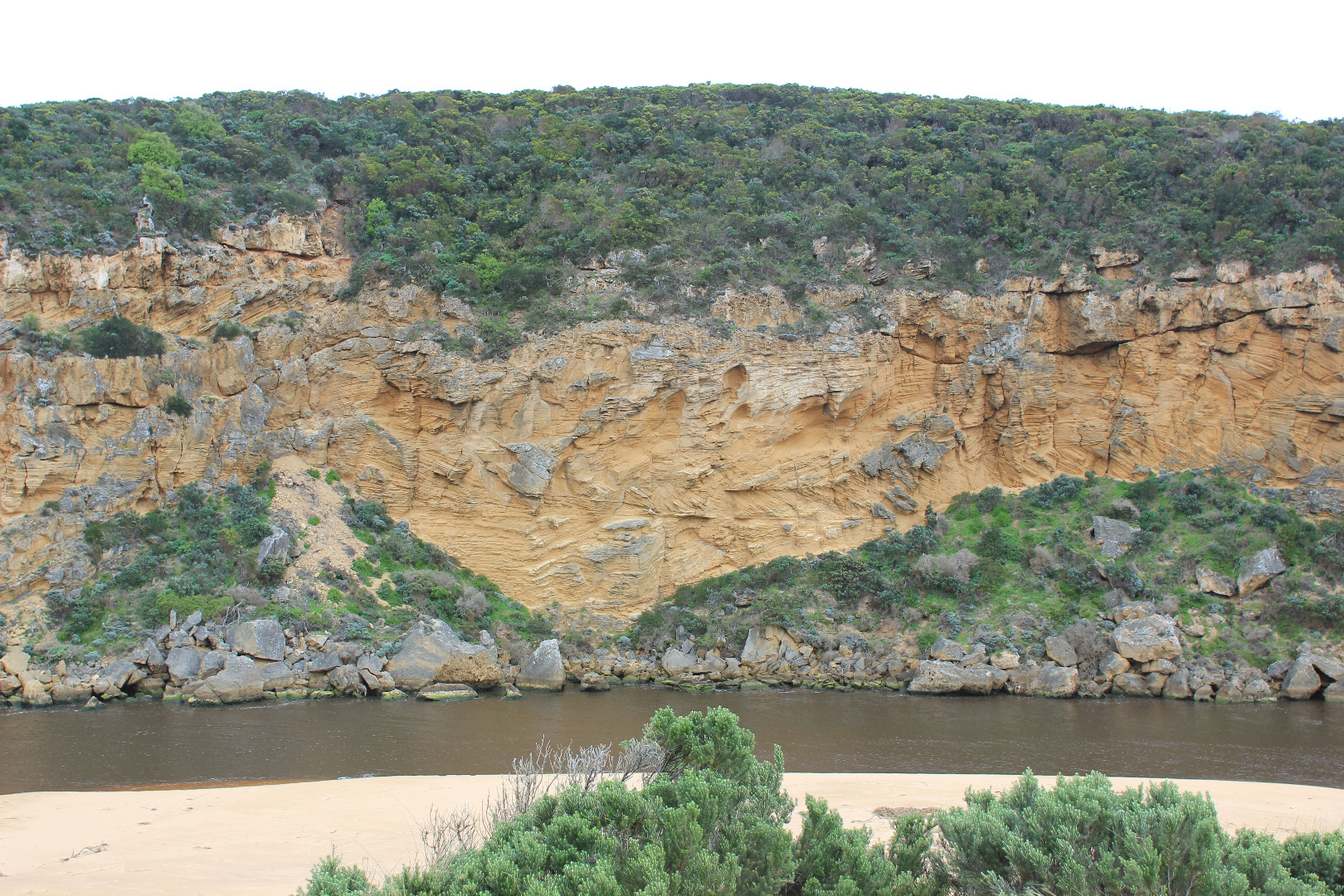
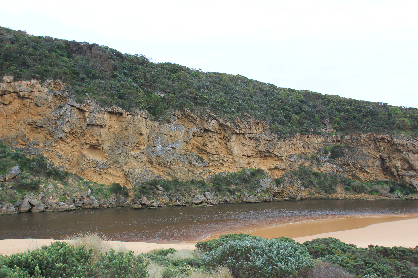
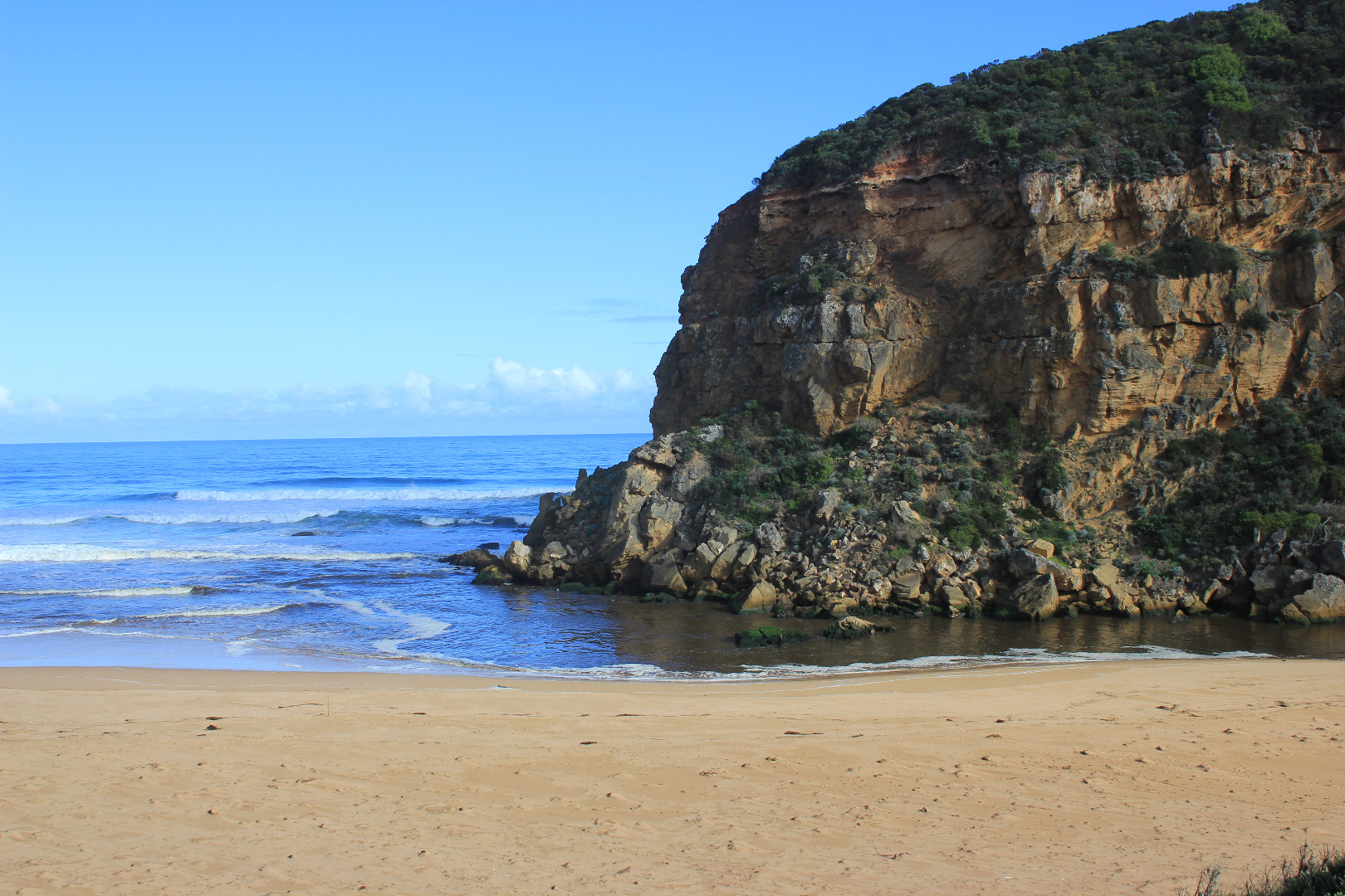
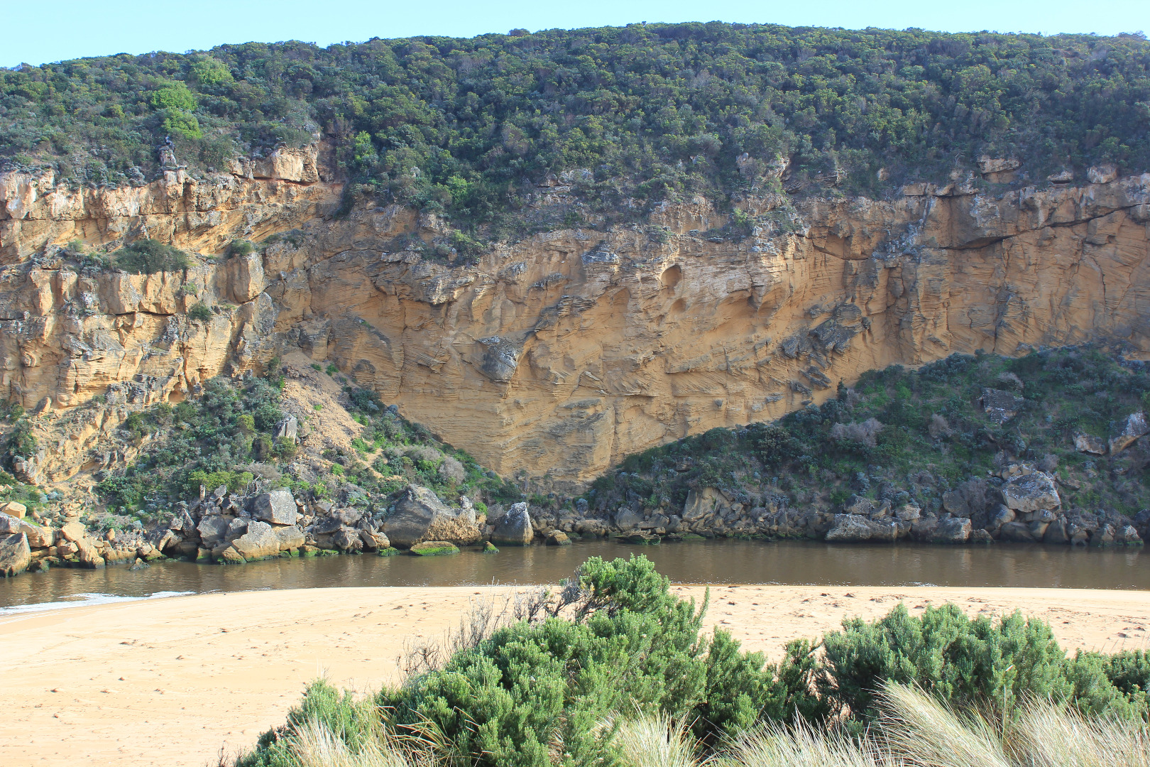
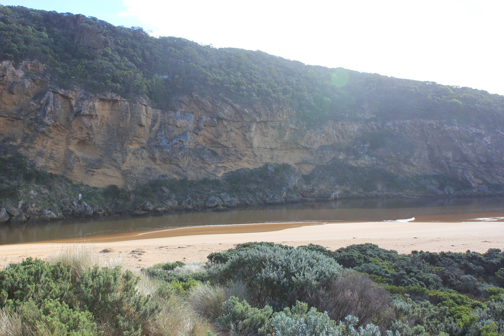
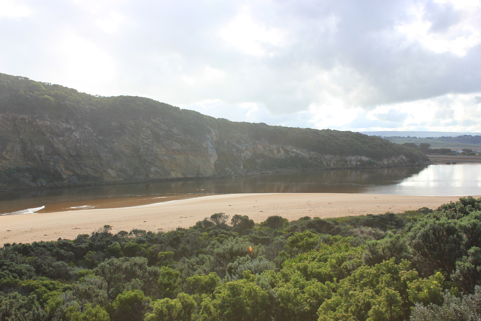
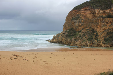
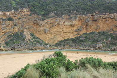
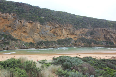
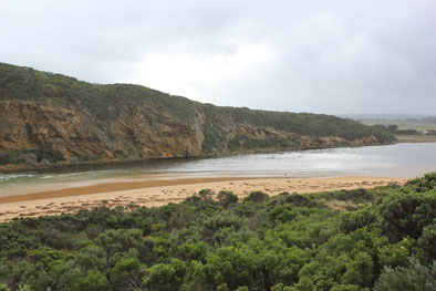
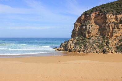
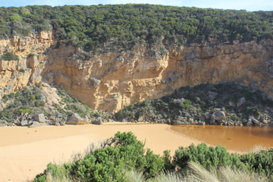
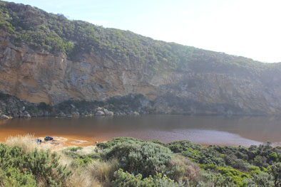
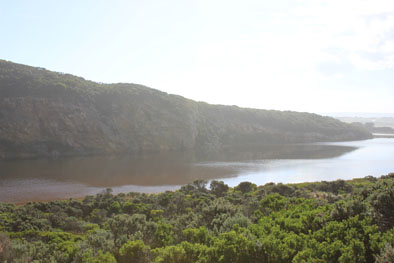
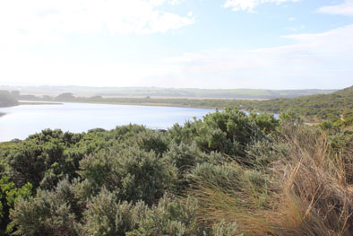
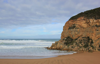
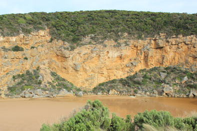
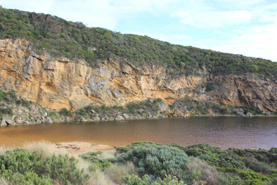
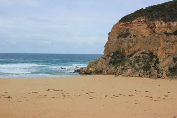
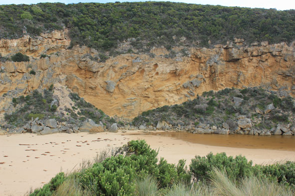
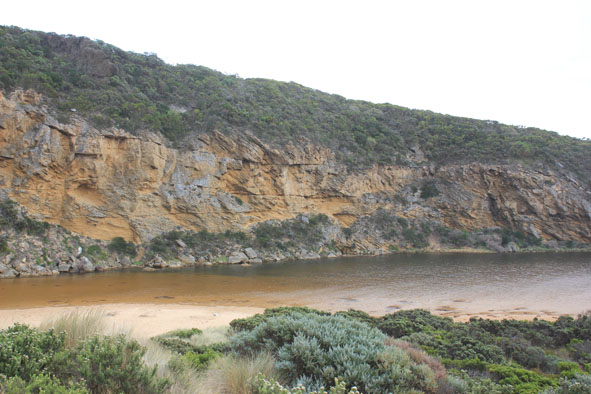
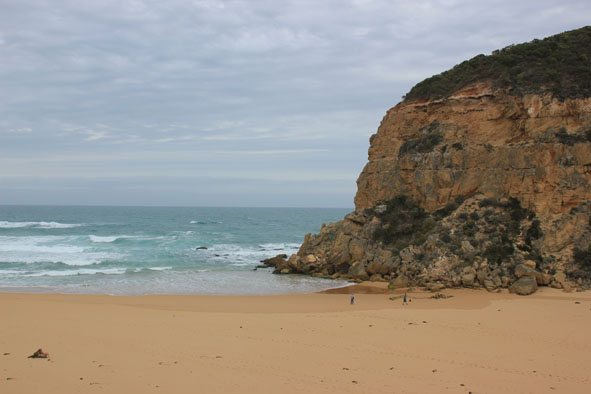
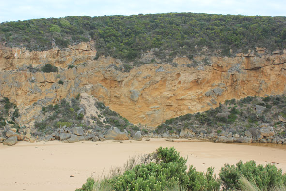
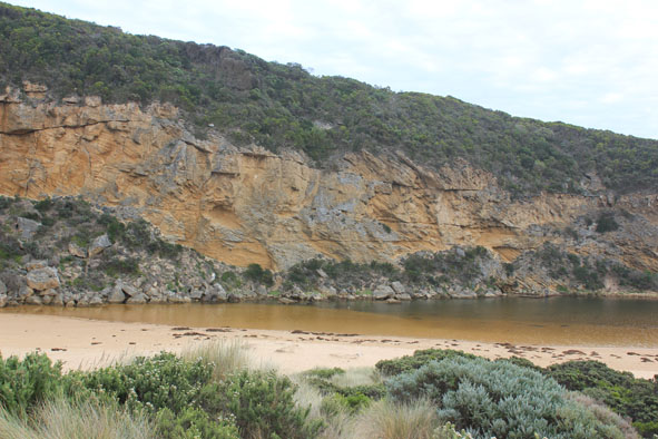
Active Mouth Condition 20-04-2007 - 21-06-2024Gellibrand River Estuary
| ID | Date | Status | Details | |
|---|---|---|---|---|
| #10781 | 3 Feb 2017 | Approved |
Notes:
Pale discharge out around mouth & slightly to east Channel very shallow - flow out over increased sand build up at mouth. Long shore drift across mouth over shallow out flow & rolling more sand into deeper areas. Large amount of sand visible in breakers directly out from mouth Extremely large no. small fish in shallow water alongside low track & many more along south side of estuary Sand bar partly exposed |
|
| #10765 | 27 Jan 2017 | Approved |
Notes:
Pale discharge out along beach face to east, then turning out to sea well before rocks at east end Beach face irregular, sand highest near mouth, mid beach & east end. Sand has increased at mouth & in channel Long shore drift across mouth with occasional waves entering into channel. Sea has been well up on beach & turning, travelling west to mouth & channel Rock falls & erosion continues at south face of Pt. Ronald Algae & unusual dried white scum on stream side veg Some small fish & crabs in shallow water beside low track close to car park, Flathead Gudgeons remain in cut off tidal pool Large no. people on beach & around estuary. March flies in large nos. |
|
| #10750 | 20 Jan 2017 | Approved |
Notes:
Pale discharge out along beach face to east. Entrance very shallow & channel narrow with sheer side to channel close to rocks, water only between rock & cliff. More sand around rocks & side of cliff downstream of rocks (entrance). Long shore drift across mouth. Dark silt in swash line Sand height increasing at east end of beach Very strong south wind blowing large amount of sand along side channel into estuary, but despite this waves in estuary are travelling to S/E corner of estuary. Waves flattened by strong gusts from south Unusually high number of Silver Gulls around wetlands , estuary & beach
|
|
| #10749 | 16 Jan 2017 | Approved |
Notes:
Pale discharge out to east, shallow flow out over high sand build up both along channel & entrance - east side of channel just upstream of rocks sheer to 15 cm. above water level Water level in estuary high (possibly because of inflow from recent high seas) Waves reducing in height, sea moderate with occasional high set. Slight but constant long shore drift across mouth Beach front not as high as previously, now sloping . Waves have been high up on beach Red scum along sand south side of estuary   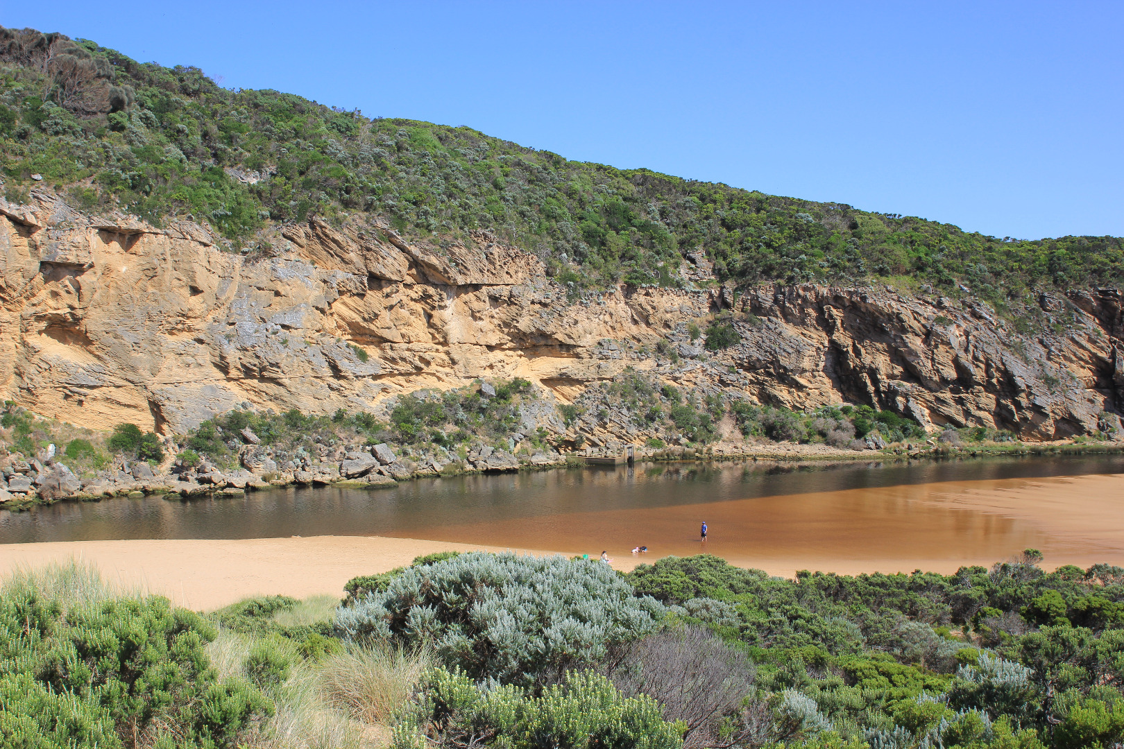   |
|
| #10713 | 13 Jan 2017 | Approved |
Notes:
Observations taken from beach not Gp1 because of wind & very heavy rain Mouth open with flow between rock & cliff. Intermittent waves entering from very rough sea over a much wider area. Strong long shore drift across mouth Last hi tide has travelled well up on beach over steep high beach front and flow has turned to travel west in depression behind rise to enter mouth & channel. Tides have wide range - Low tide @ 18:58 = 0.2 Hi tide @ 02:18 = 1.14. Sand area at south side of estuary is being re formed into new rises & inlets Many small fish in shallow water beside low track near car park Waves across estuary to south east cr. from north west wind Good catches of Black Bream & Mullet continue to be caught |
|
| #10678 | 6 Jan 2017 | Approved |
Notes:
Observations taken nearing low tide Flow reducing. Pale discharge out around mouth & along shoreline to east, also some to west. Beach curved with highest area near mouth Channel shallow sand has built up at mid channel & at entrance. Flow only between rock & cliff face through shallow rapids. Edge of channel has steep bank .50m above water level Very large no. small fish in shallow water beside low track close to stream side veg. 5 turquoise dragonflies in that area |
|
| #10657 | 30 Dec 2016 | Approved |
Notes:
Dark discharge out around mouth, to east & also to west, slight longshore drift across mouth Beach horseshoe shaped, with high sand along beach face, highest close to mouth. Beach very wide Small area of sand bar in estuary exposed & large expanse of sand south side of estuary. Many small fish in water beside low track close to car park Dead Black Bream SE side of estuary where scum has accumulated |
|
| #10650 | 23 Dec 2016 | Approved |
Notes:
Observations taken near low tide. Humidity high. Swell time 11-10 sec Reduced dark brown reddish discharge around mouth & alongside beach face to east Mouth shallow, occasional long shore drift across mouth. Greatly increased sand build up. Flow only between rock & cliff. Side of channel has sheer side suggesting a strong release as sea level dropped at last low tide Beach face high with lower area between face & dunes Sandbar well uncovered also side of low track where algae is forming on stream side veg & sea-grass. Mosquito larvae, mosquitoes & flies in areas nearer car park but many small fish observed at south side of estuary Turquoise dragonflies (3) & red Damselfly (1) amongst stream side veg east side of estuary |
|
| #10647 | 17 Dec 2016 | Approved |
Notes:
Reddish brown discharge out over increased sand build up only immediately around the mouth Rough sea assisted by south wind sending some waves up over steep beach front into dip then turning west & proceeding toward mouth & channel at last hi tide South wind blowing a large amount of sand down beside channel into the estuary Black silt pattern on sand south side of estuary & channel entrance area Algae forming on stream side veg.especially at Lt1. Dead female kangaroo on sand near channel entrance to estuary |
|
| #10624 | 10 Dec 2016 | Approved |
Notes:
|
|
| #10598 | 4 Dec 2016 | Approved |
Notes:
|
|
| #10579 | 26 Nov 2016 | Approved |
Notes:
Flow out to east but reduced since 20/1/16. Long shore drift across mouth with small waves entering channel Beach very wide with high front, some waves up & over. Also very large expanse of sand south side of estuary. Swash line on ocean beach has 1000's of 'by the wind sailors' & large amount of dark silt. Sand bar exposed showing channel in mid section Wind SW at south side of estuary, S along channel & SE along beach to mouth. Sand blowing down channel into estuary. Some wind gusts above 7 More rock falls from cliff face
|
|
| #10578 | 12 Nov 2016 | Approved |
Notes:
Dark discharge from draining flats up stream.( water drained from below G4 but is still draining upstream to G6. ( cape pond weed is flowering) Land slips along OOR between G5&G6 Flow out along foreshore to east Foreshore is now undulating and beach very wide. Large areas of sand exposed in on south side of estuary. Sand extends north into estuary as well.The 'flow' of sand recently deposited by storm surge shows distinct levels (about .50m from present water level at edge) with about 30 - 40 cm. difference across area.Sand bar now has channel through middle. Juvenile Nankeen Kestrel on debris near mouth Sand has built up along parts of low track where new scour holes occur near previous two that currently contain small Flathead gudgeon & juvenile Tupong) |
|
| #10580 | 5 Nov 2016 | Approved |
Notes:
Dark discharge strong flow out along foreshore to east , going out to sea about 2/3 to east Gale force winds overnight 7-8 & 5.8m seas currently sending waves up to base of dunes all along the beach. East end continues to be impacted creating long shore drift to mouth. Some waves entering channel over a wide area(from sand dune to cliff) then turning east & impacting on low track which is completely under water water up to bearer just below deck on fishing platform at G2 Wind gusts 7 at Gp1 -wind from NE at Gp1 but from WNW across the estuary |
|
| #10462 | 29 Oct 2016 | Approved |
Notes:
Dark discharge out along foreshore Strong outflow but small waves entering & travelling north across the sandbar Sea rough with occasional very high set of waves -SW swell continues to impact east end of beach causing long-shore drift to mouth. Previously high sand near east end has been reduced in height by wave action. Swash-line high up on beach (many purple shells) Recent storm surges have deposited more sand into the estuary extending sand at south side further north into the estuary(observation taken near low tide).Sand bar visable with channel partly cut into middle. The deep scour areas along low track have been filled in and new ones created. Areas of black sand at start of channel from estuary Maram grass regeneration along base of dunes closer to mouth. Increase of Euphorbia paralais & senecio elegans along dunes Thousands of small eels(?)/ fish making their way upstream observed at G4. moving along vev at side of channel away from strong flow Rivernook flats have no visable water cover but all areas up stream to G6 are under water- no flood water below G4
|
|
| #10459 | 24 Oct 2016 | Approved | ||
| #10458 | 20 Oct 2016 | Approved |
|
|
| #10717 | 15 Oct 2016 | Approved |
Notes:
|
|
| #10716 | 24 Sep 2016 | Approved |
Notes:
|
|
| #10715 | 17 Sep 2016 | Approved |
Notes:
|
|
| #10714 | 5 Sep 2016 | Approved |
Notes:
|
|
| #10712 | 27 Aug 2016 | Approved |
Notes:
|
|
| #10711 | 10 Aug 2016 | Approved |
Notes:
|
|
| #10709 | 16 Jul 2016 | Approved |
Notes:
|
|
| #10707 | 9 Jul 2016 | Approved |
Notes:
water level in estuary low
|
|
| #10402 | 3 Jul 2016 | Approved |
Notes:
|
|
| #10399 | 25 Jun 2016 | Approved |
Notes:
|
|
| #10372 | 18 Jun 2016 | Approved |
Notes:
|
|
| #10349 | 2 Jun 2016 | Approved |
Notes:
|
|
| #10337 | 26 May 2016 | Approved |
Notes:
|
|
| #10338 | 21 May 2016 | Approved |
Notes:
|
|
| #10365 | 19 May 2016 | Approved |
Notes:
|
|
| #10364 | 15 May 2016 | Approved |
Notes:
|
|
| #10363 | 14 May 2016 | Approved |
Notes:
|
|
| #10359 | 13 May 2016 | Approved |
Notes:
|
|
| #10358 | 12 May 2016 | Approved |
Notes:
|
|
| #10357 | 11 May 2016 | Approved |
Notes:
|
|
| #10356 | 10 May 2016 | Approved |
Notes:
|
|
| #10355 | 9 May 2016 | Approved |
Notes:
|
|
| #10354 | 7 May 2016 | Approved |
Notes:
|
|
| #10352 | 5 May 2016 | Approved |
Notes:
|
|
| #10350 | 4 May 2016 | Approved |
Notes:
|
|
| #10277 | 30 Apr 2016 | Approved |
Notes:
|
|
| #10260 | 23 Apr 2016 | Approved |
Notes:
|
|
| #10250 | 16 Apr 2016 | Approved |
Notes:
|
|
| #10236 | 5 Apr 2016 | Approved |
Notes:
|
|
| #10230 | 29 Mar 2016 | Approved |
Notes:
|
|
| #10222 | 19 Mar 2016 | Approved |
Notes:
|
|
| #10220 | 16 Mar 2016 | Approved |
Notes:
|
|
| #10217 | 14 Mar 2016 | Approved |
Notes:
|
|


All content, files, data and images provided by the EstuaryWatch Data Portal and Gallery are subject to a Creative Commons Attribution License
Content is made available to be used in any way, and should always attribute EstuaryWatch and www.estuarywatch.org.au