EstuaryWatch Data Portal
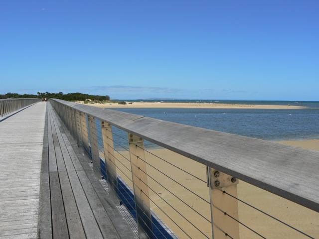
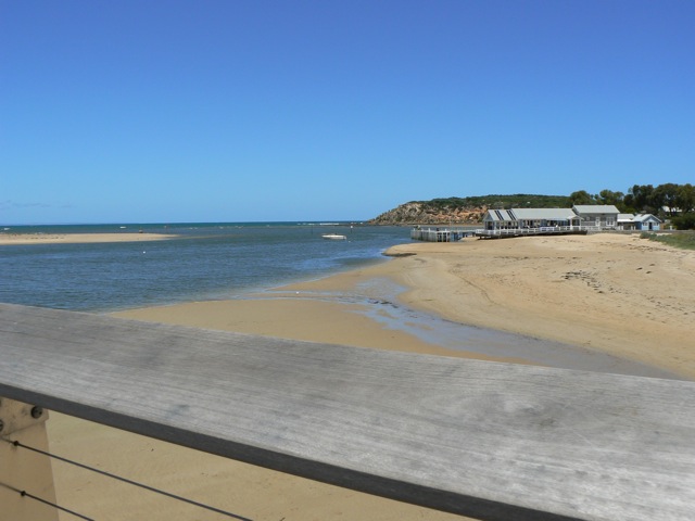
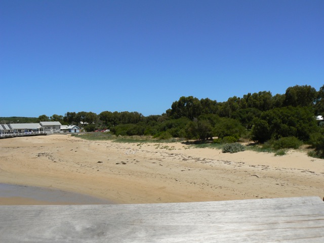
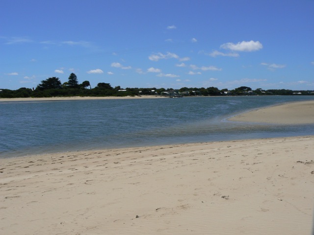
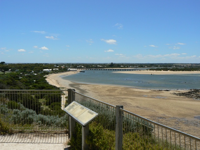
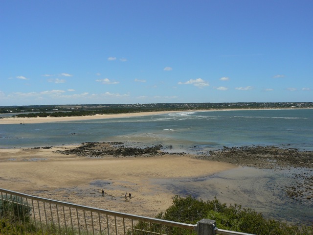
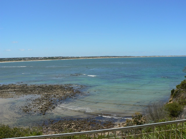
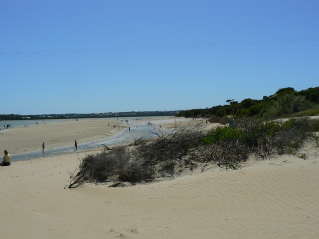
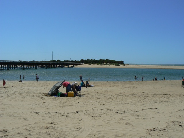
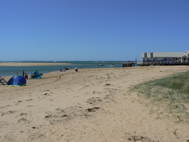
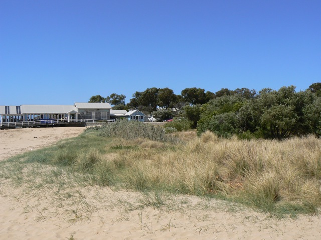
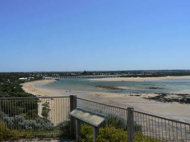
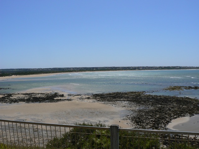
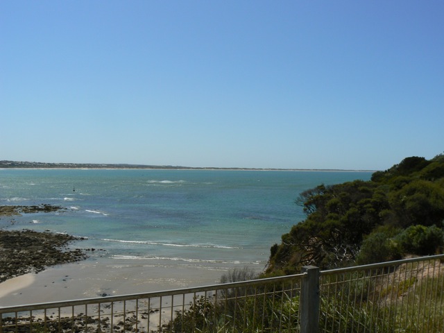
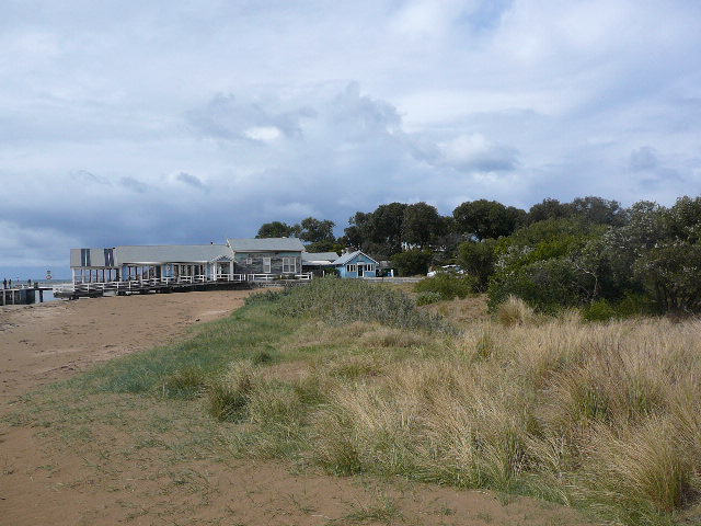
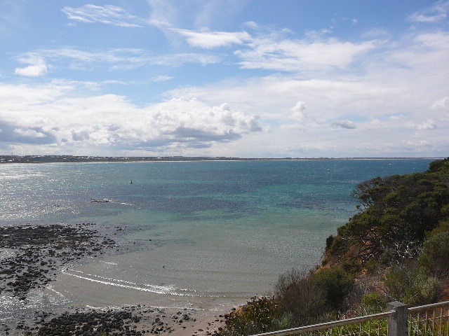
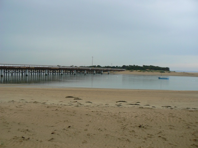
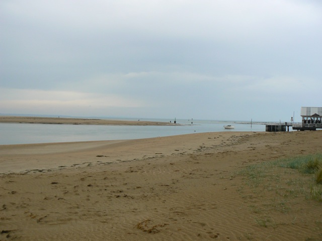
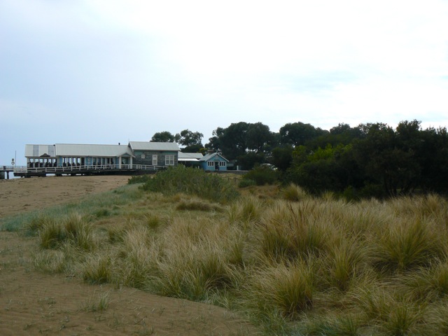
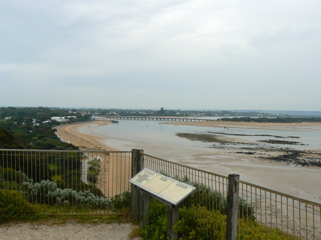
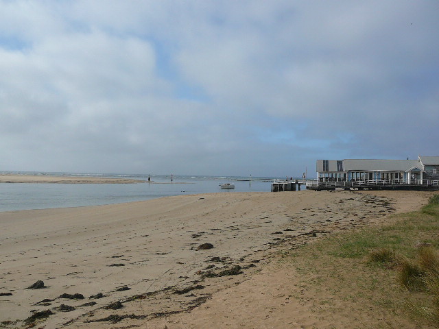
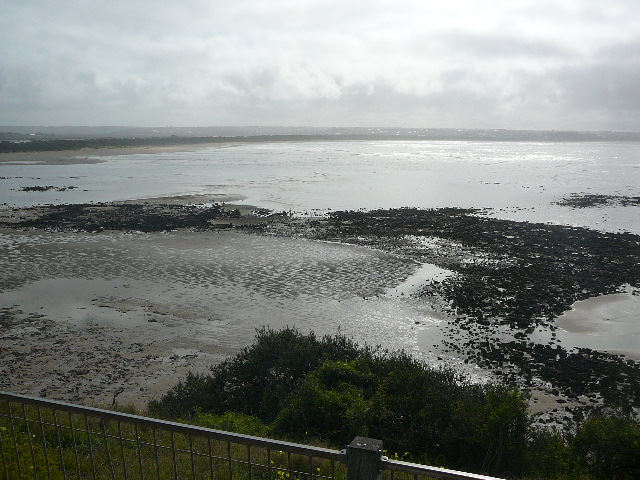
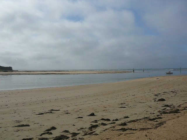
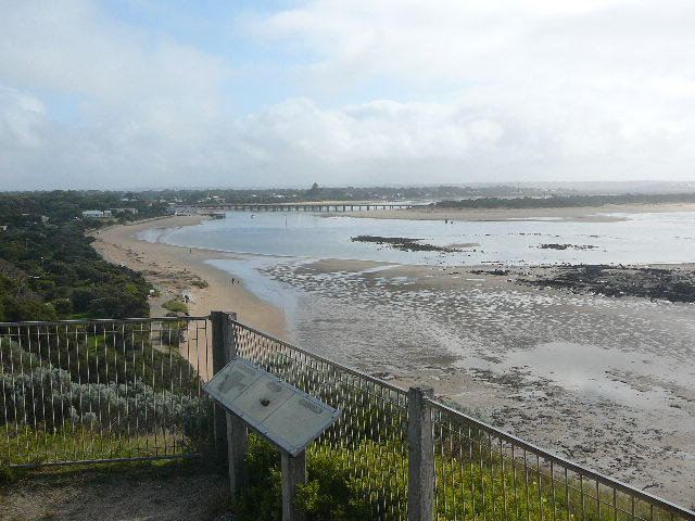
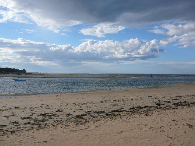
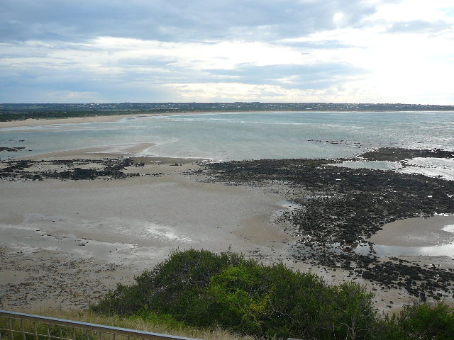
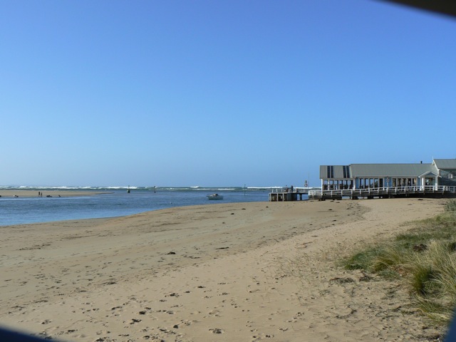
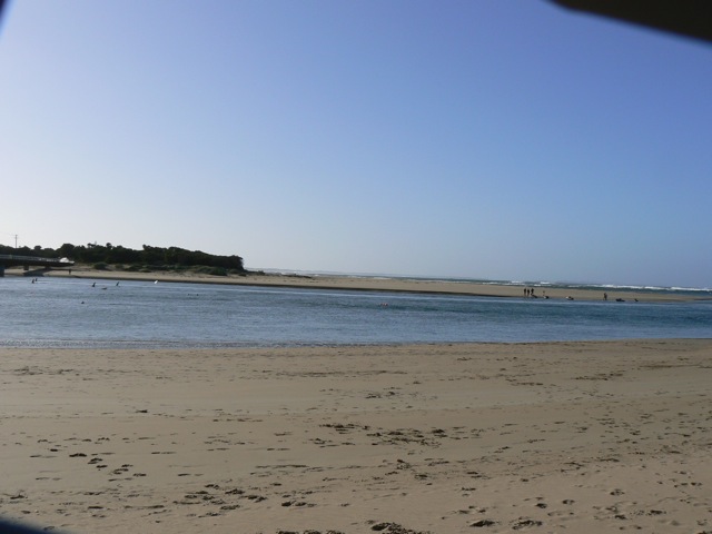
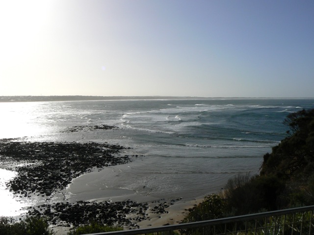
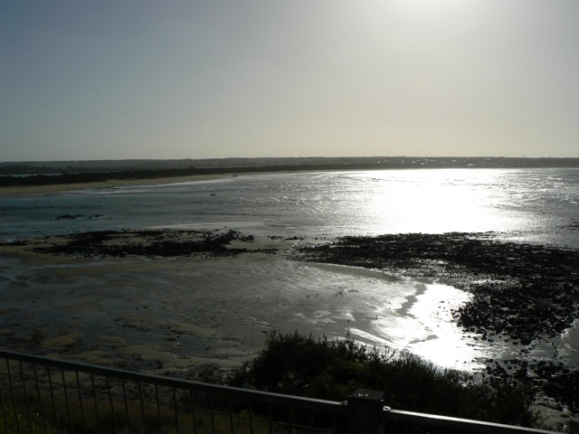
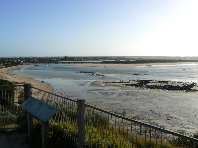
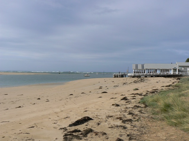
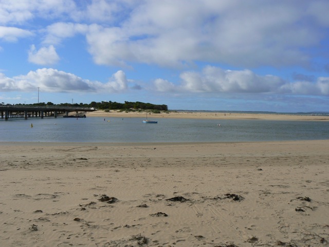
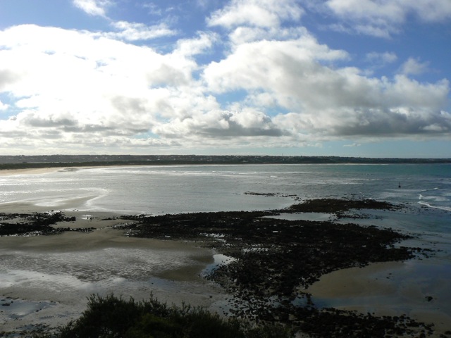
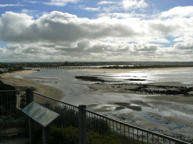
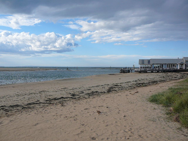
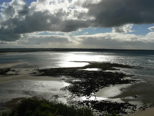
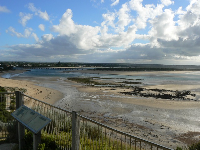
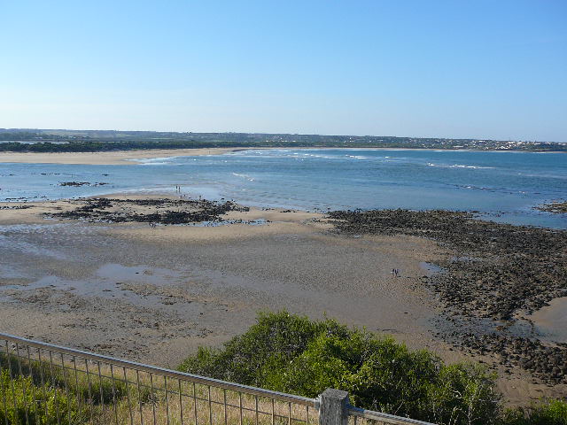
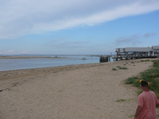
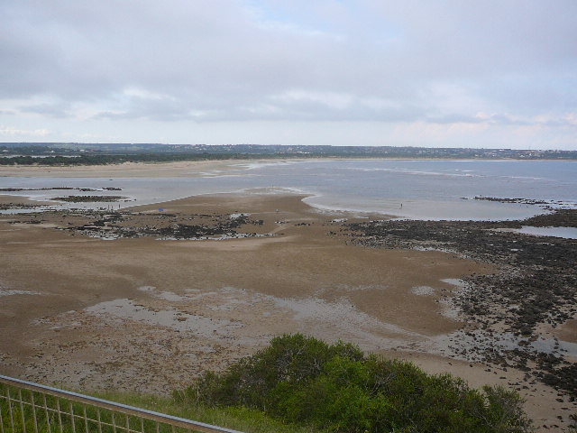
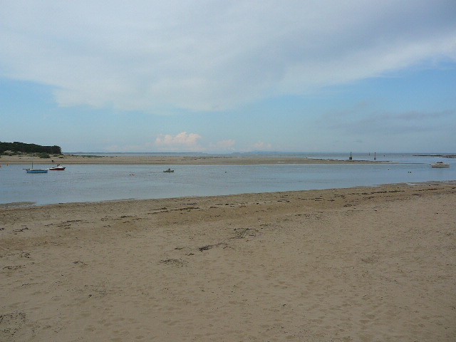
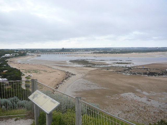
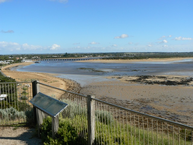
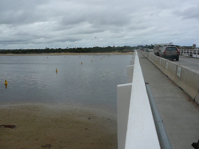
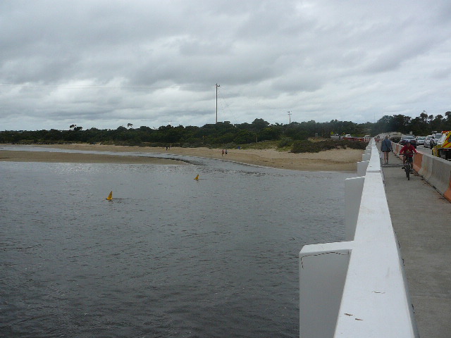
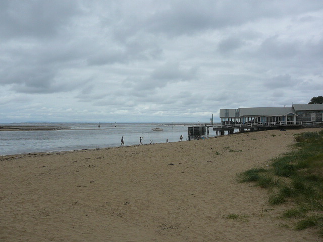
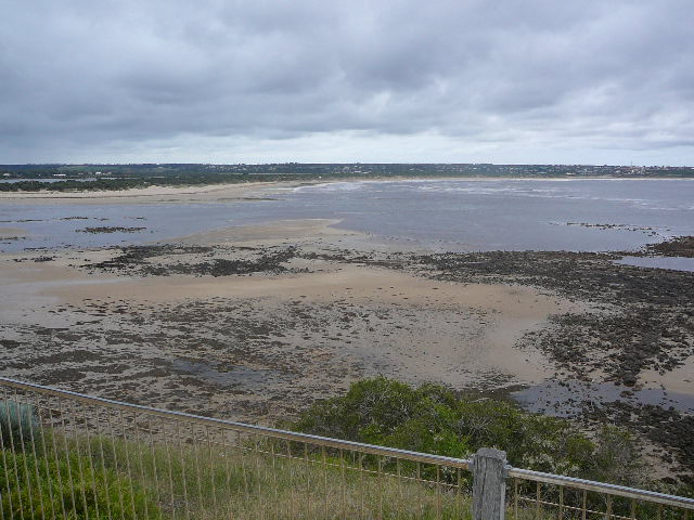
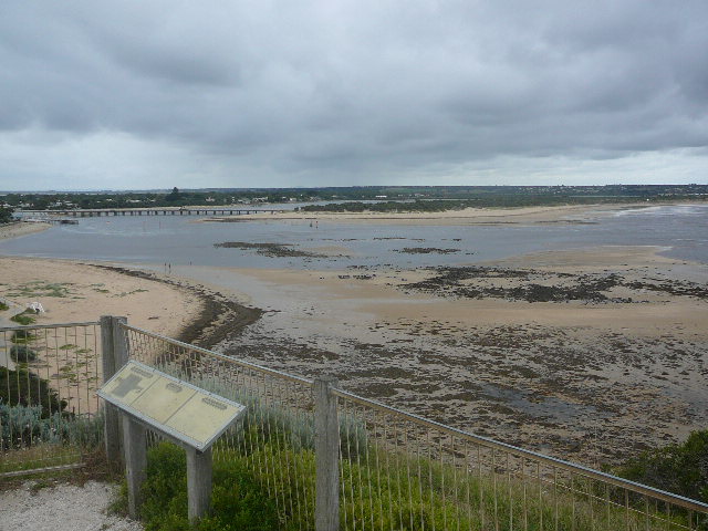
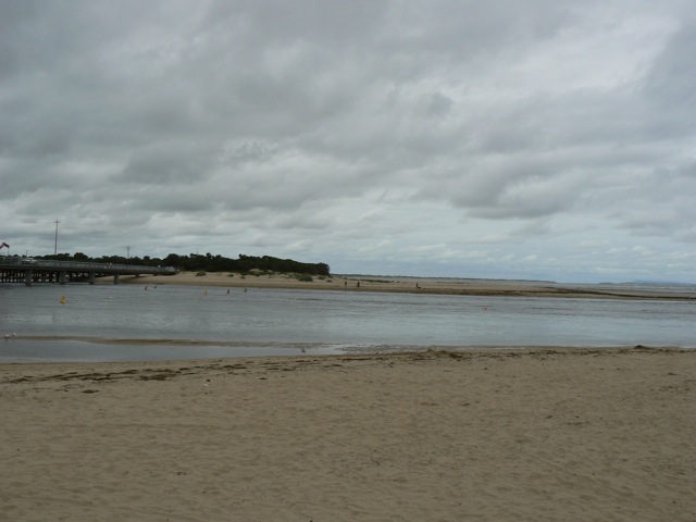
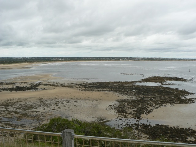
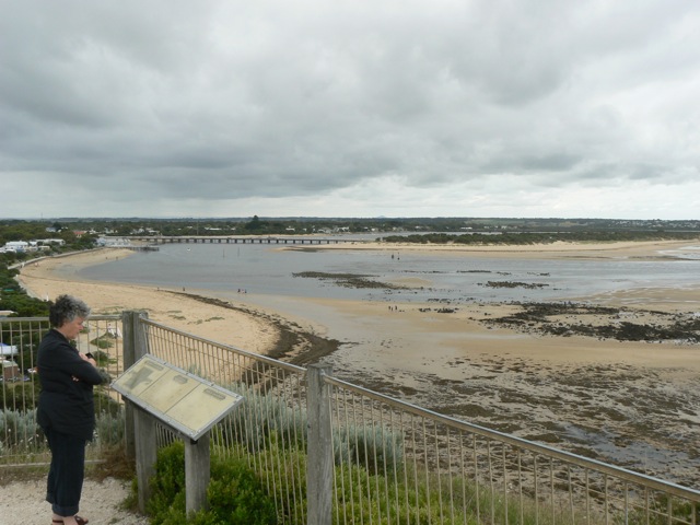
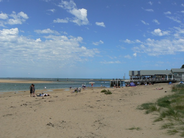
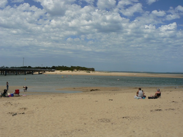
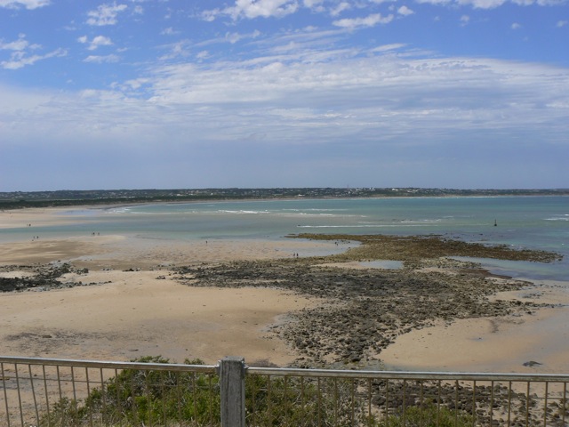
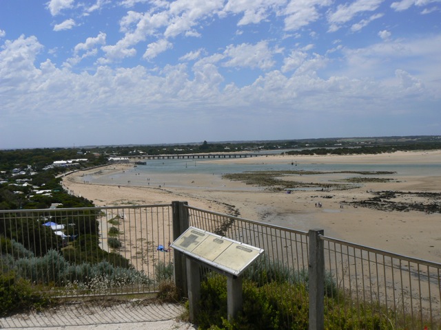
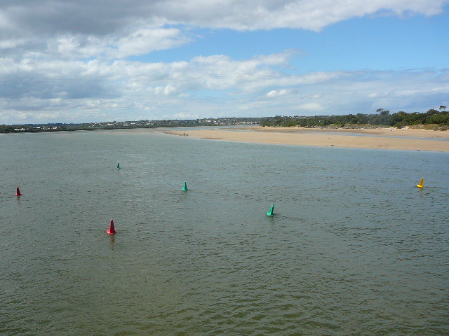
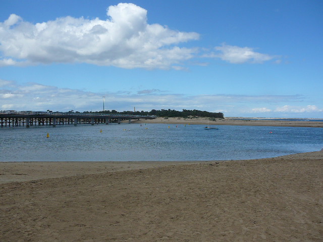
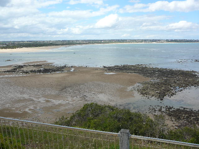
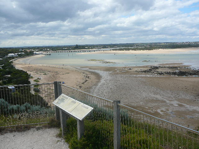
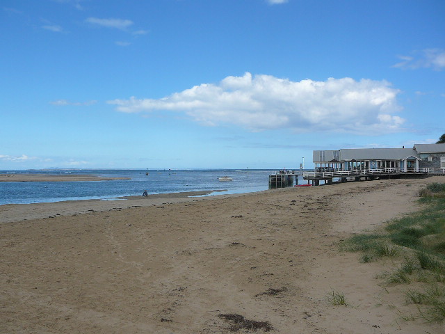
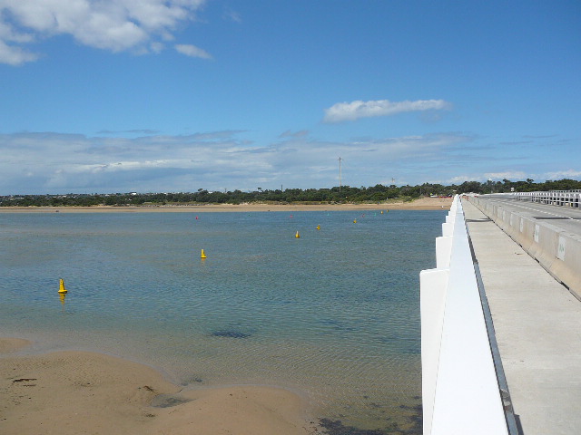
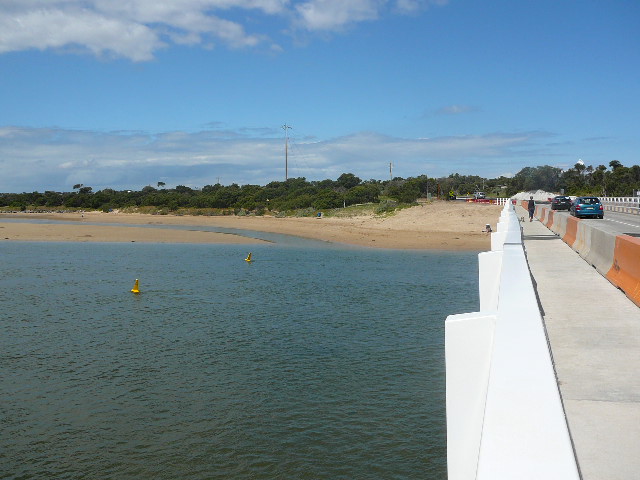
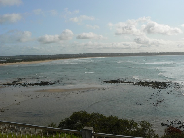
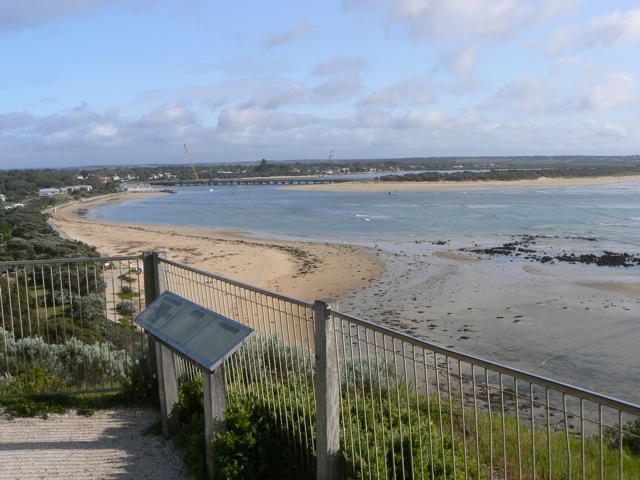
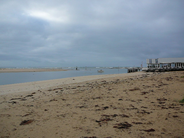
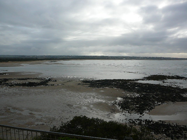
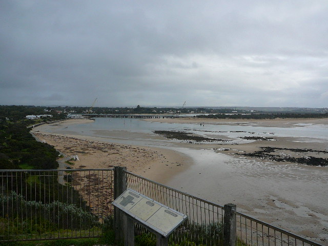
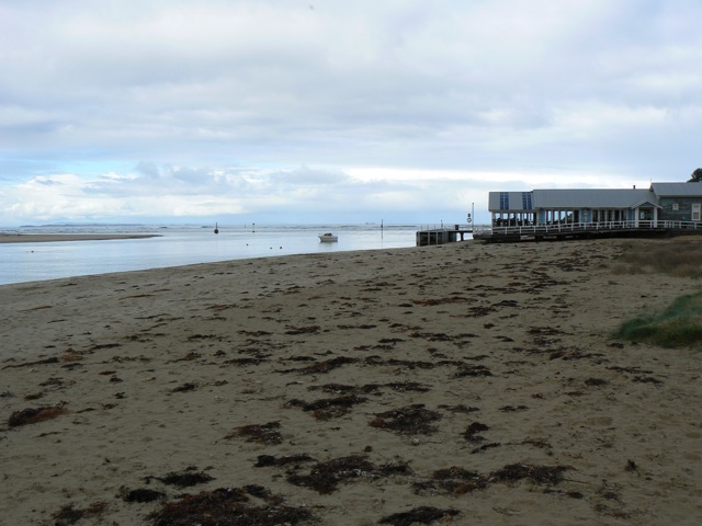
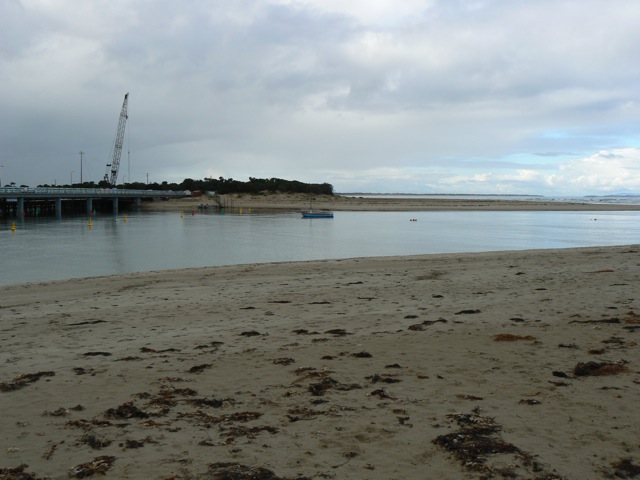
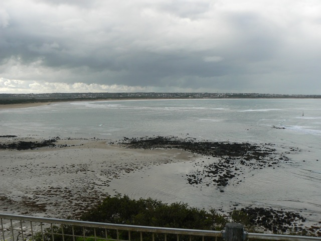
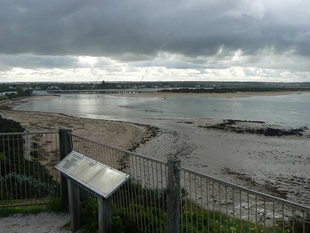
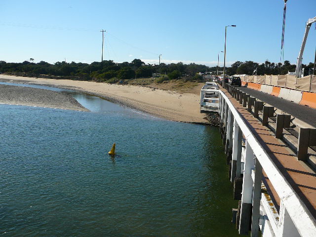
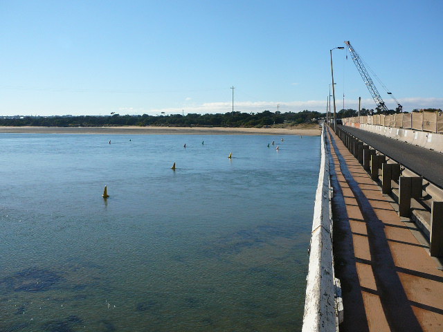
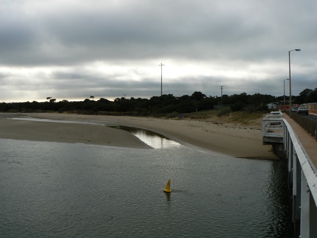
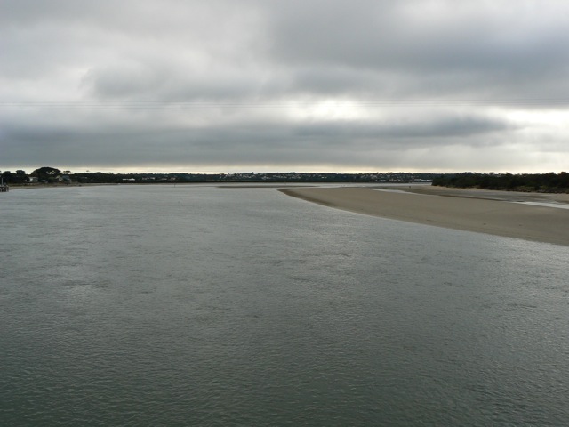
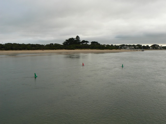
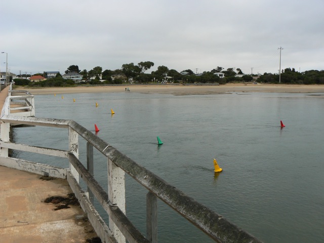
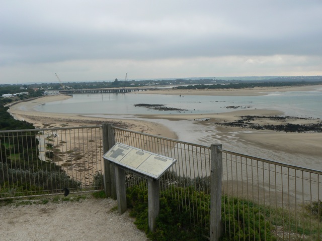
BMC Barwon River - Observation Site
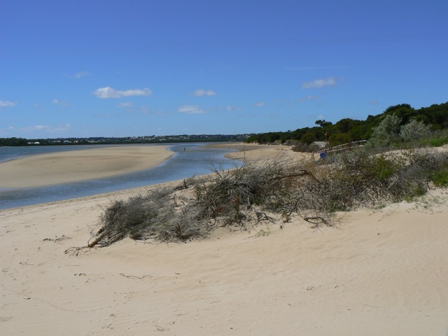
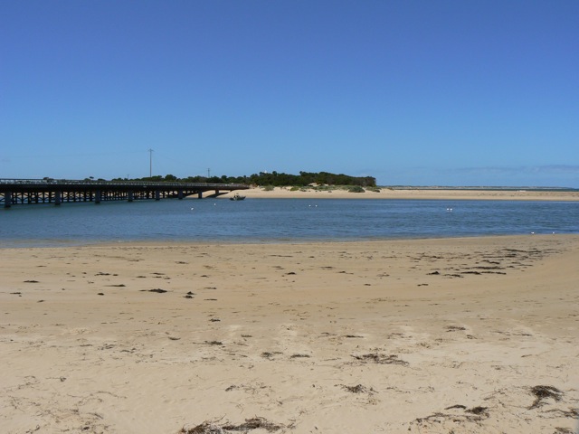
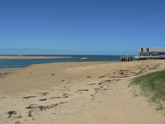
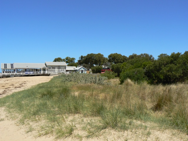
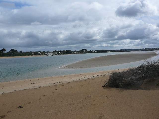
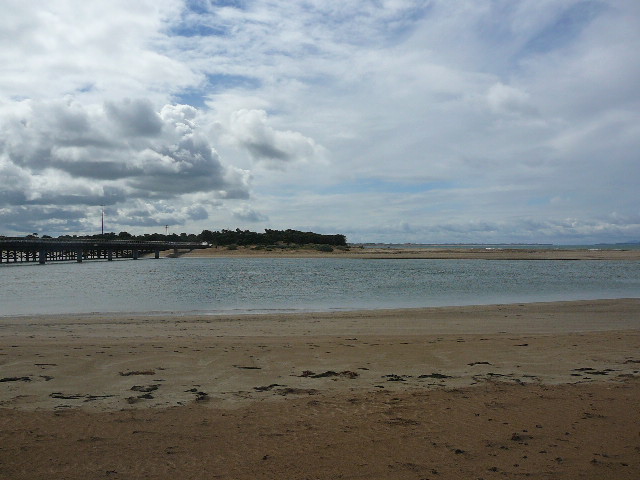
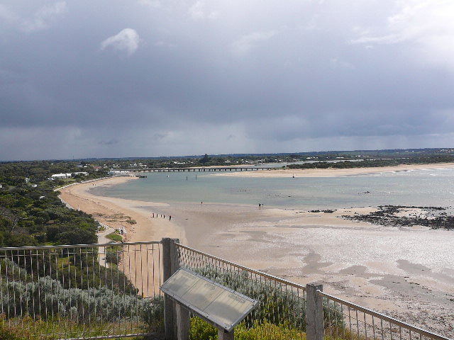
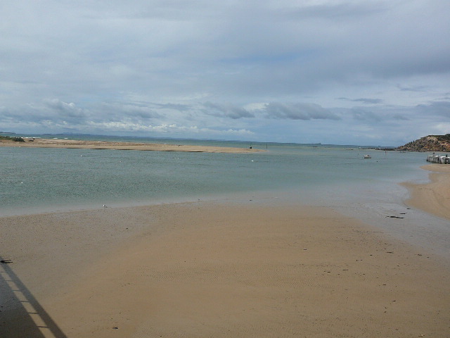
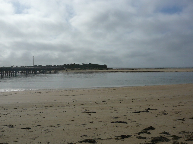
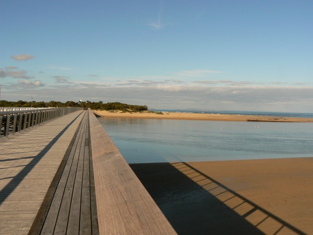
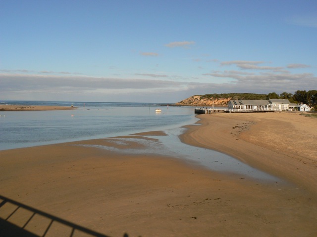
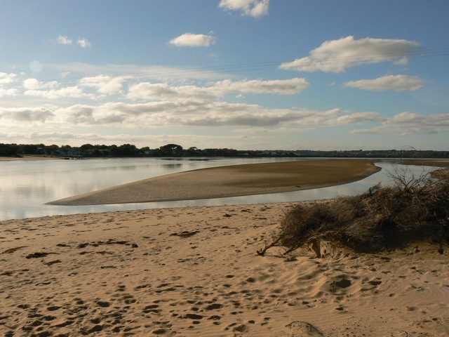
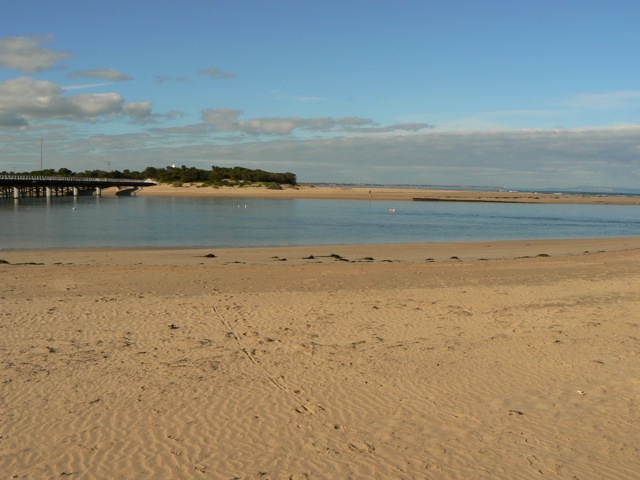
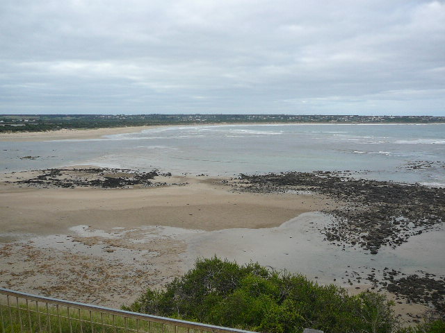
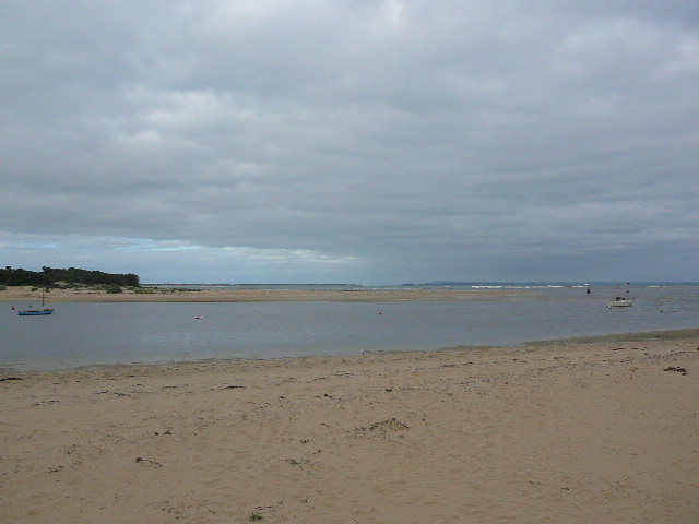
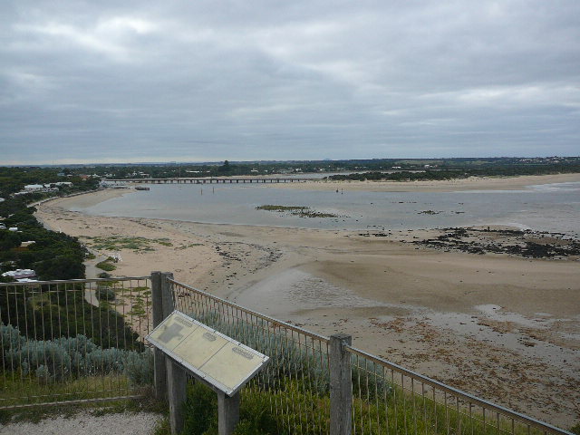
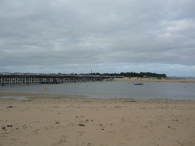
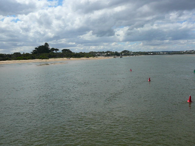
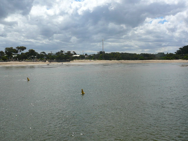
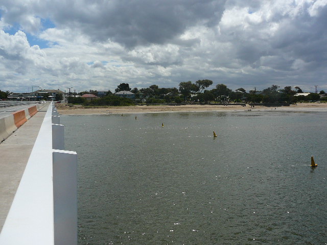
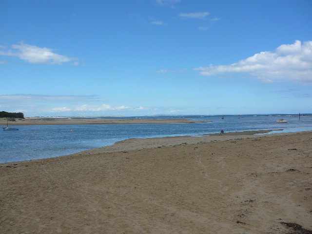
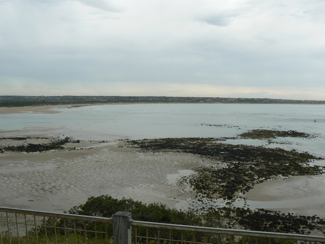
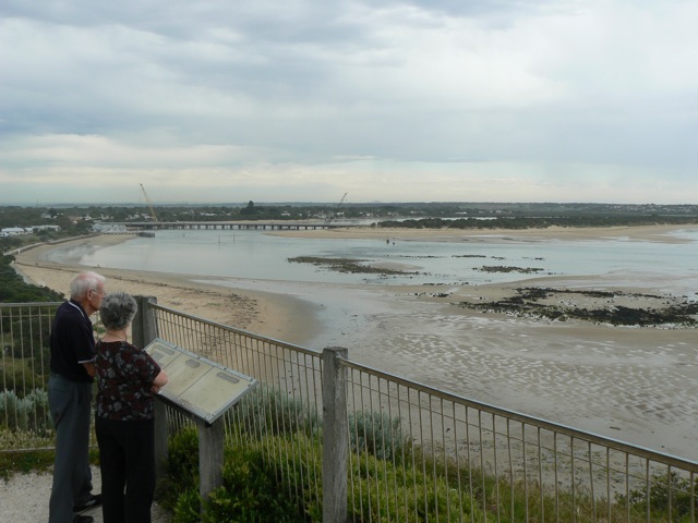
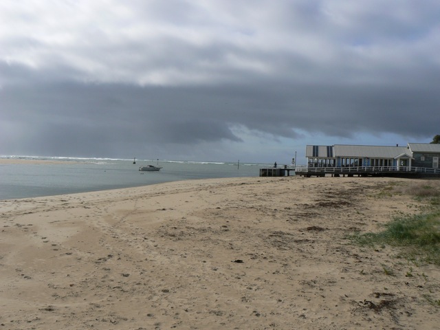
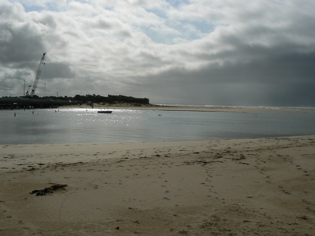
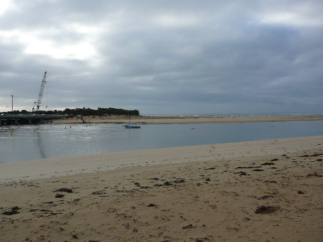
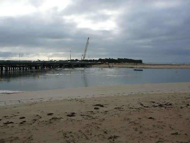
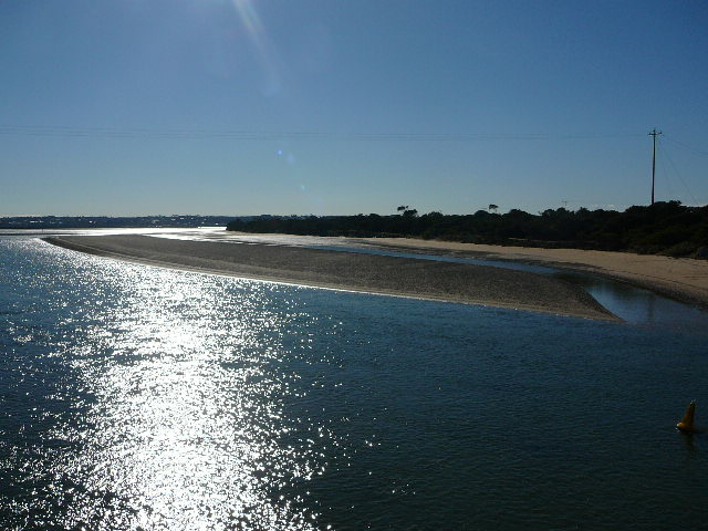
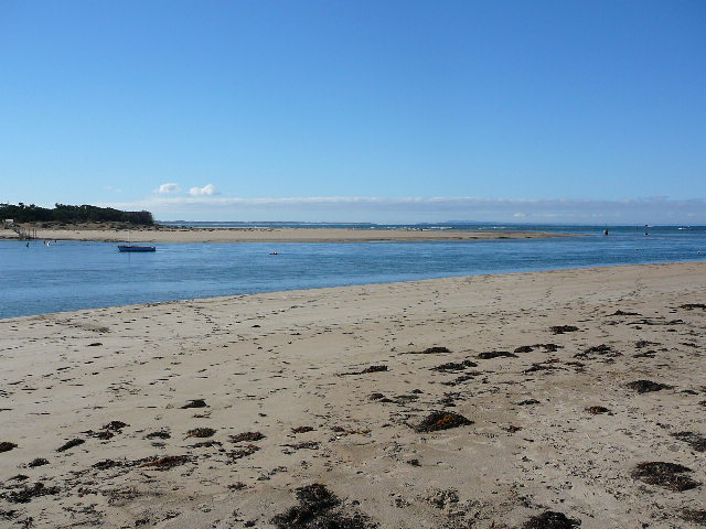
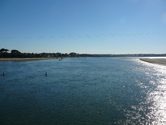
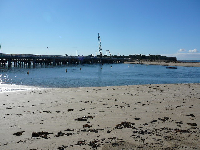
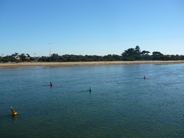
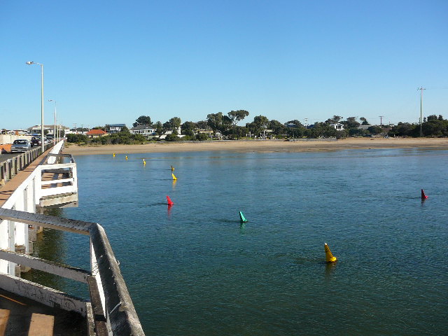
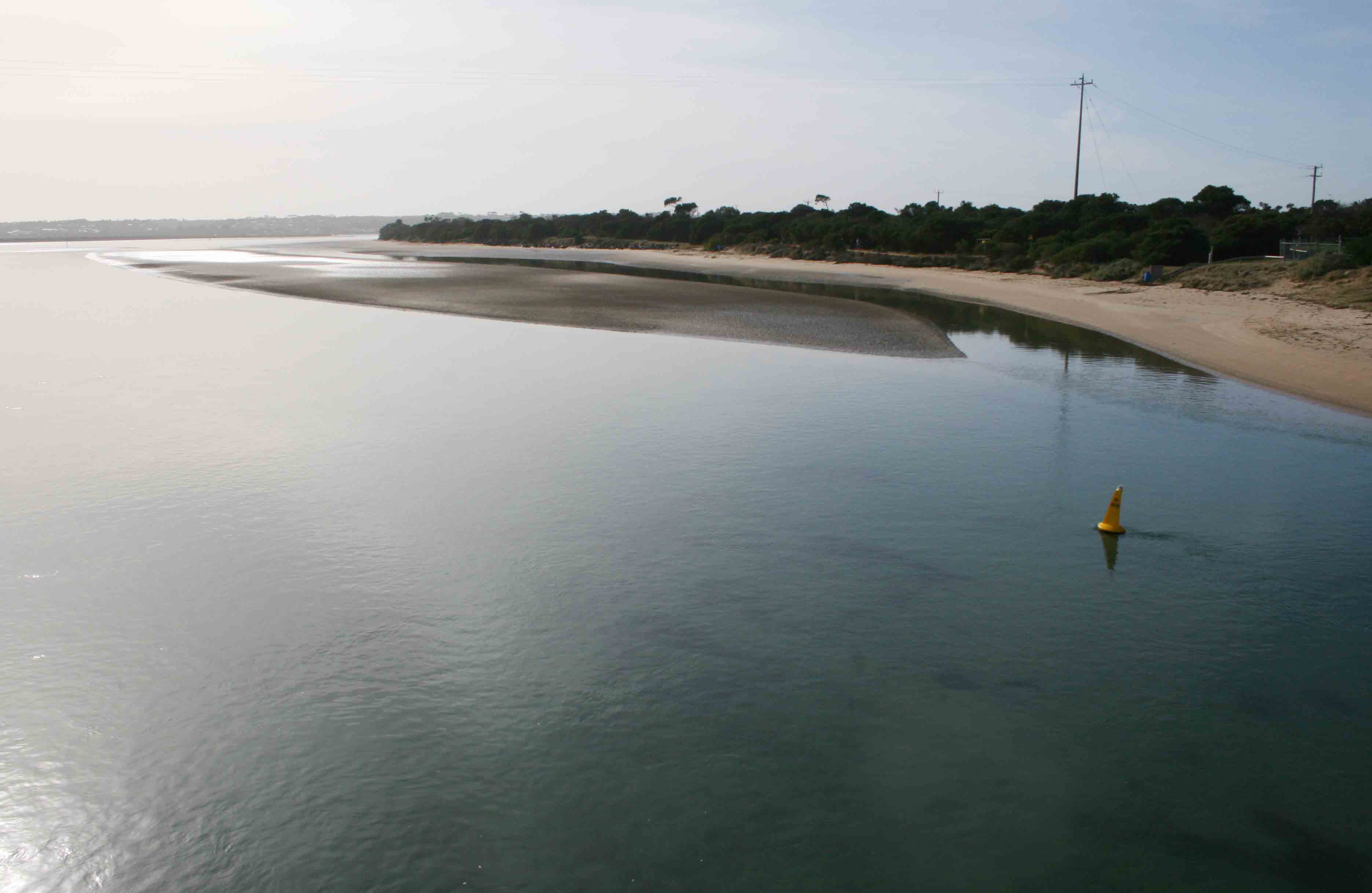
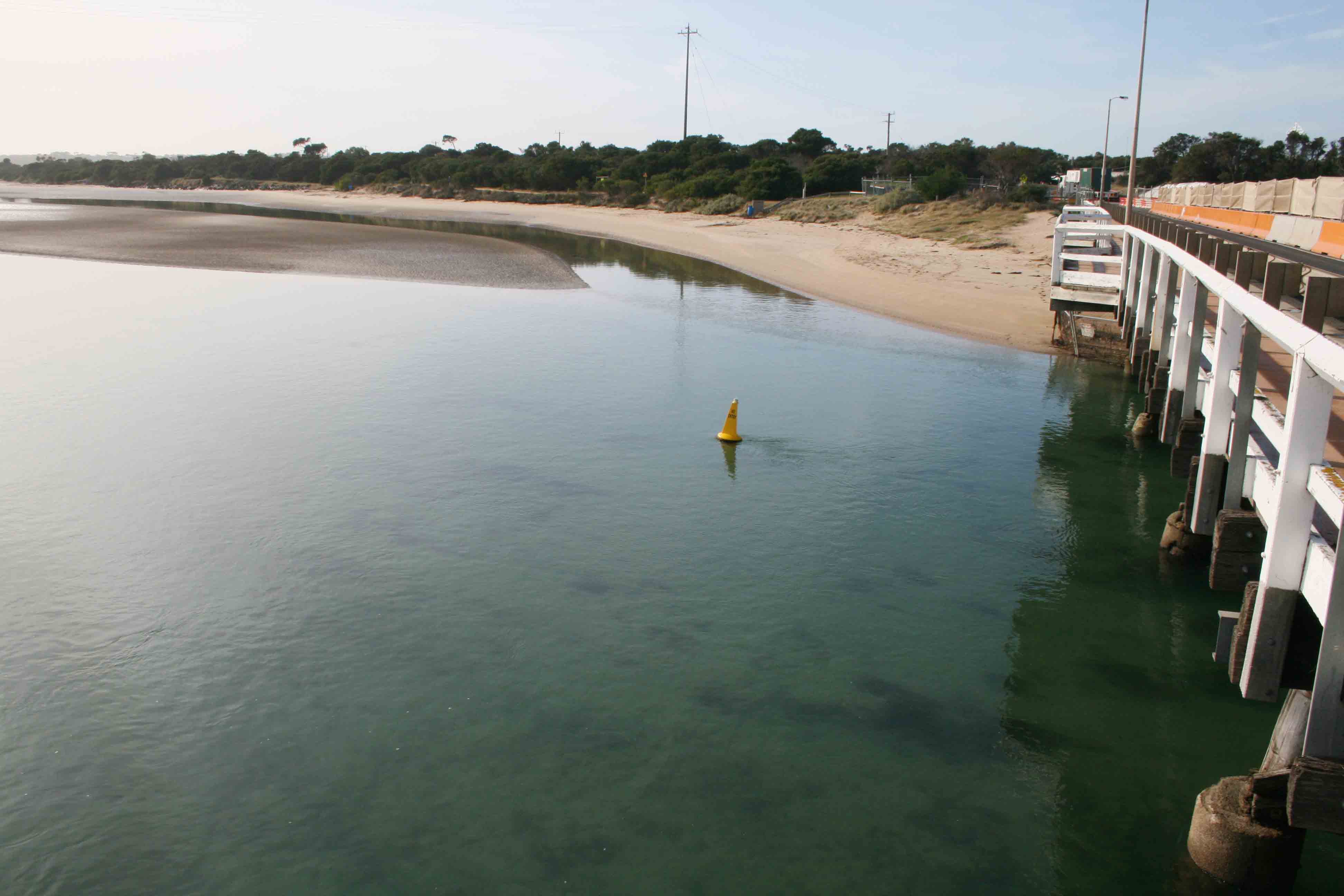
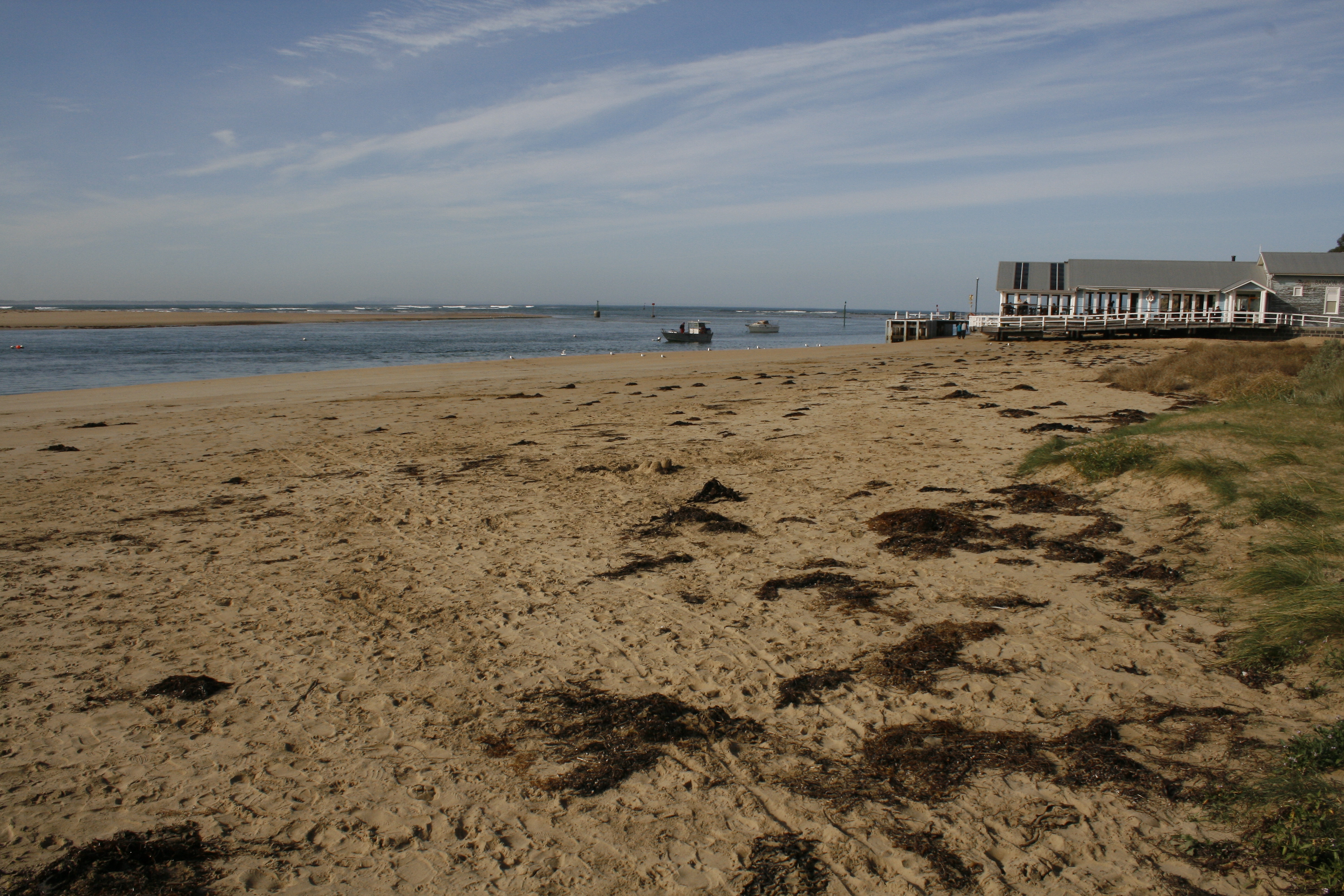
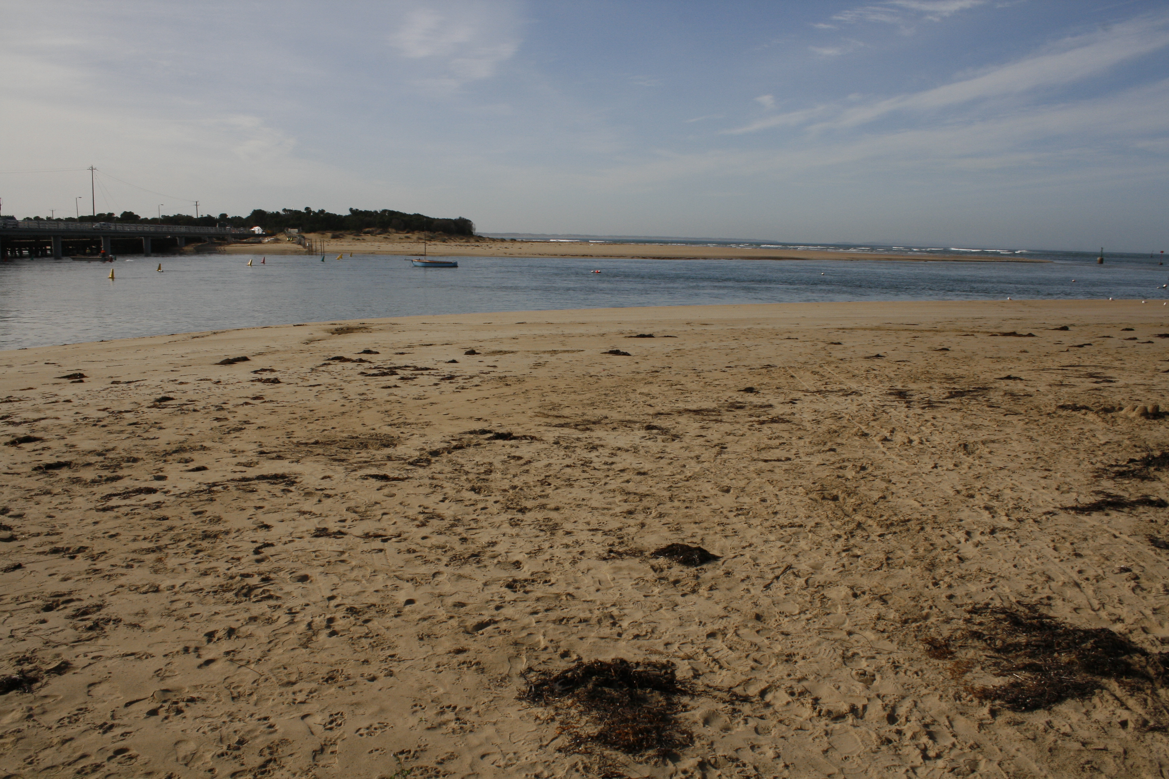
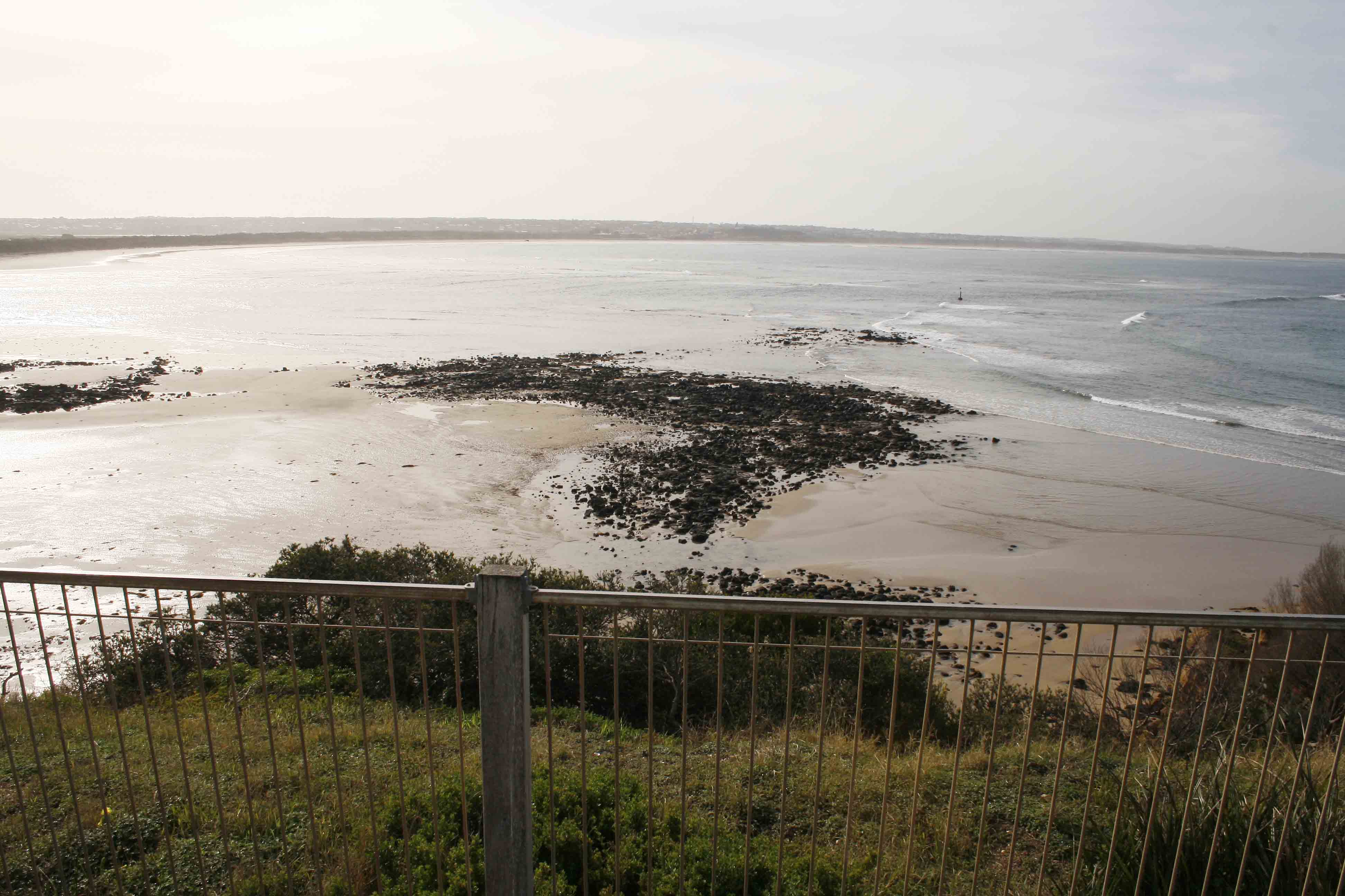
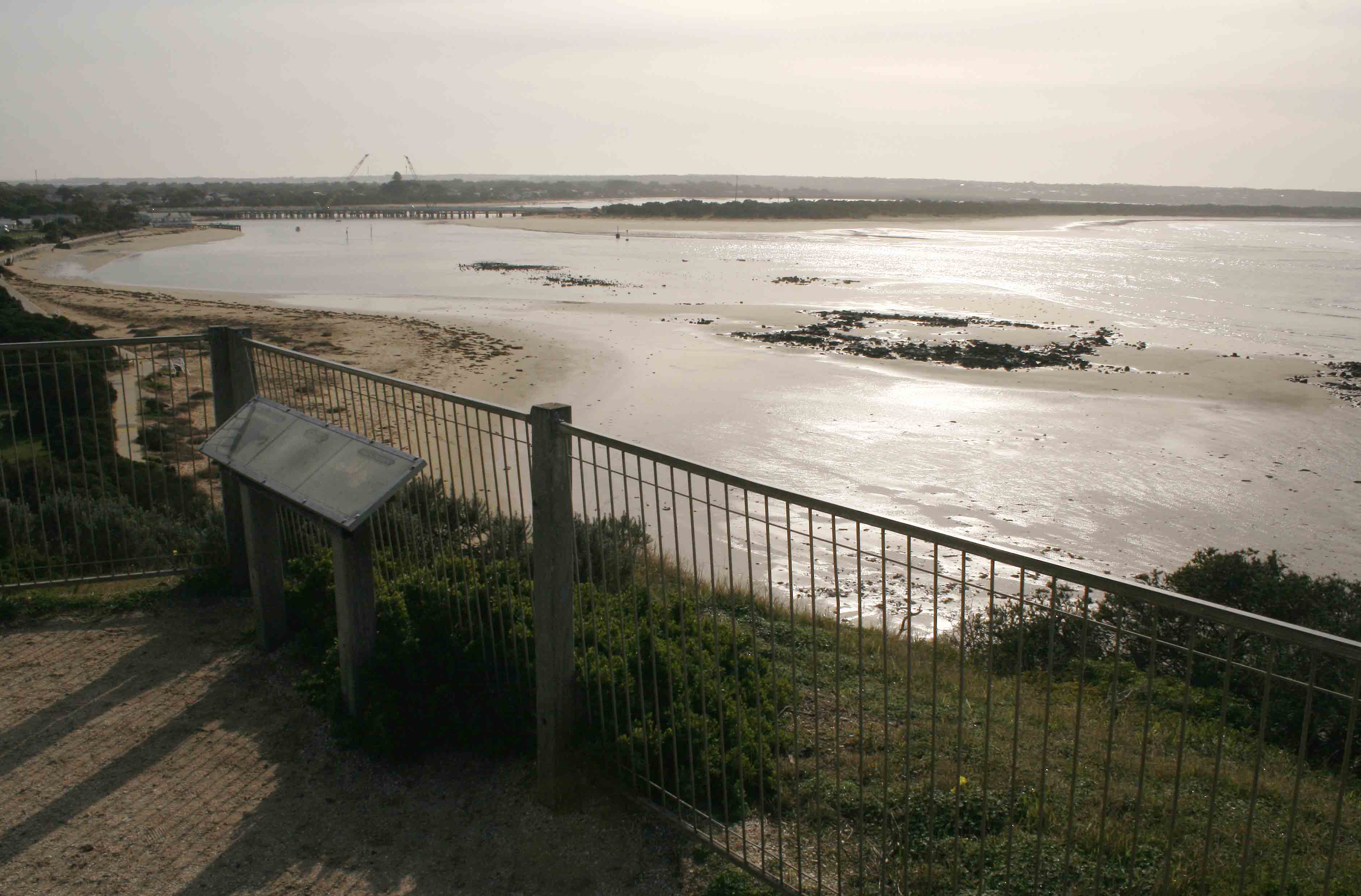
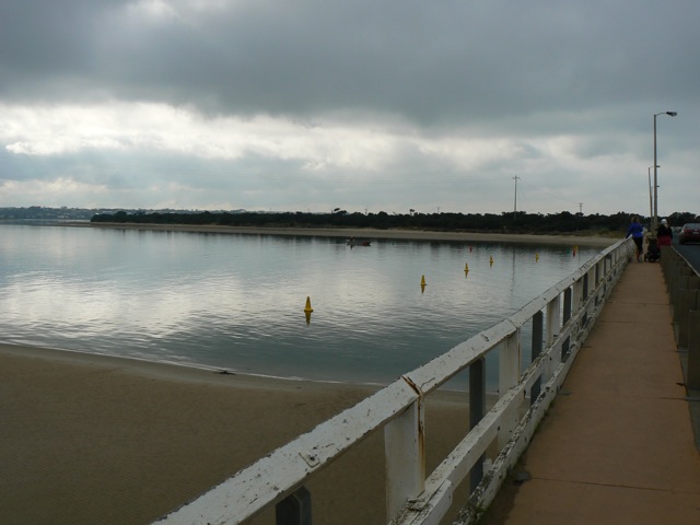
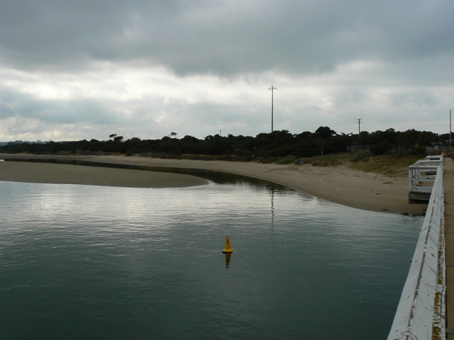
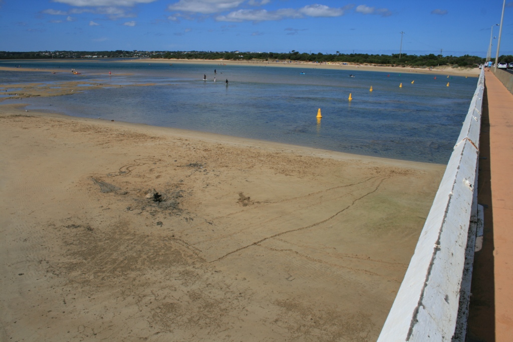
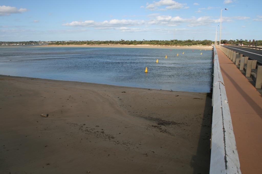
Active Mouth Condition 15-12-2007 - 31-07-2024Barwon River Estuary
243 results found (Displaying 201 - 243)
| ID | Date | Status | Details | |
|---|---|---|---|---|
| #6383 | 2 Dec 2011 | Approved |
Notes:
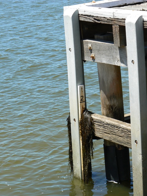
Unable to read water level - depth gauge draped with sea weed (see photograph). Cannot provide "mode" data as we have been away for most of the last fortnight |
|
| #6223 | 19 Oct 2011 | Approved | ||
| #6144 | 20 Sep 2011 | Approved | ||
| #6044 | 4 Sep 2011 | Approved | Notes: When heavy rain started it was not possible to take photographs, hence there are no photographs taken from Bp1 or Bp2 on this occasion. | |
| #6061 | 19 Aug 2011 | Approved | ||
| #5945 | 12 Aug 2011 | Approved | ||
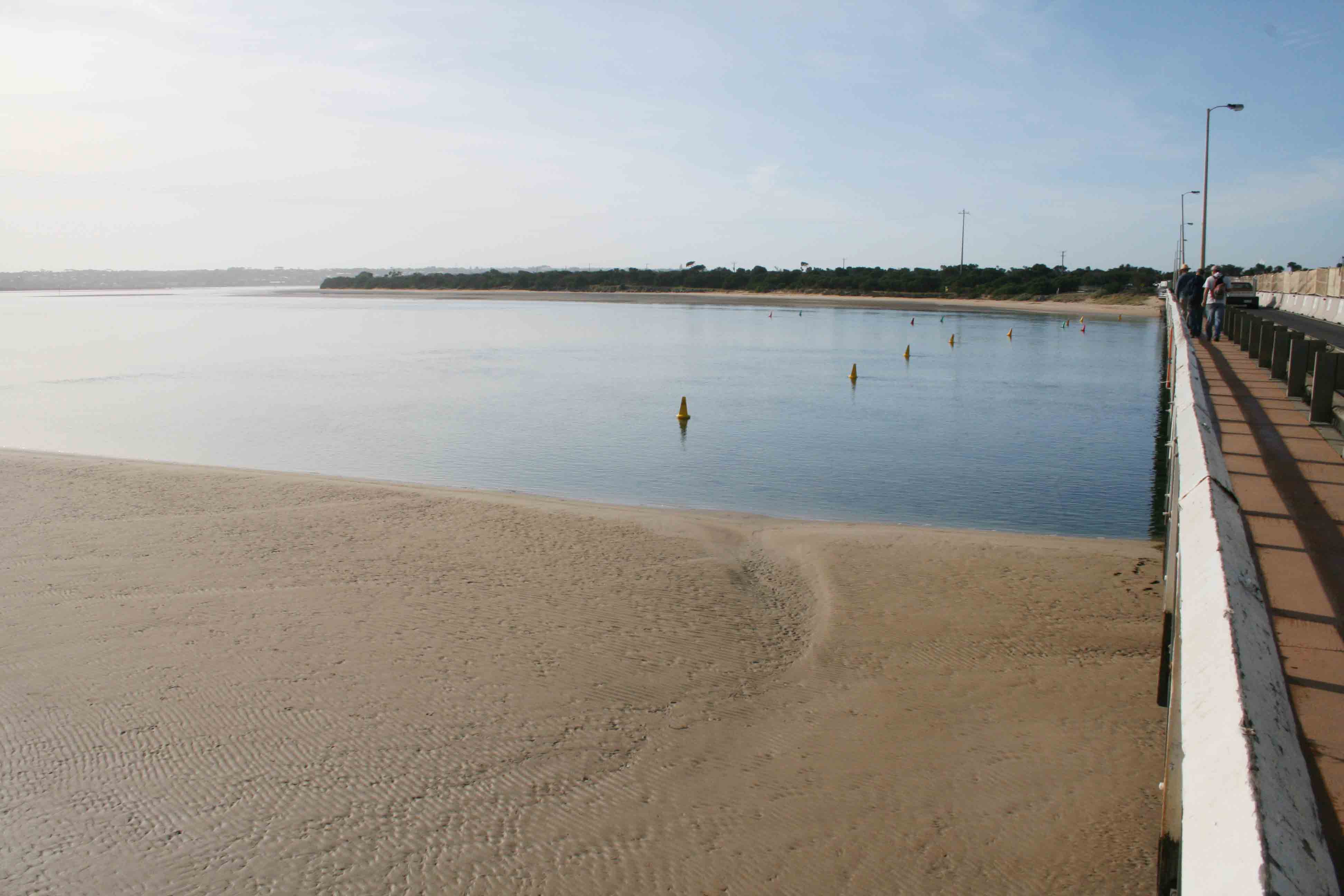
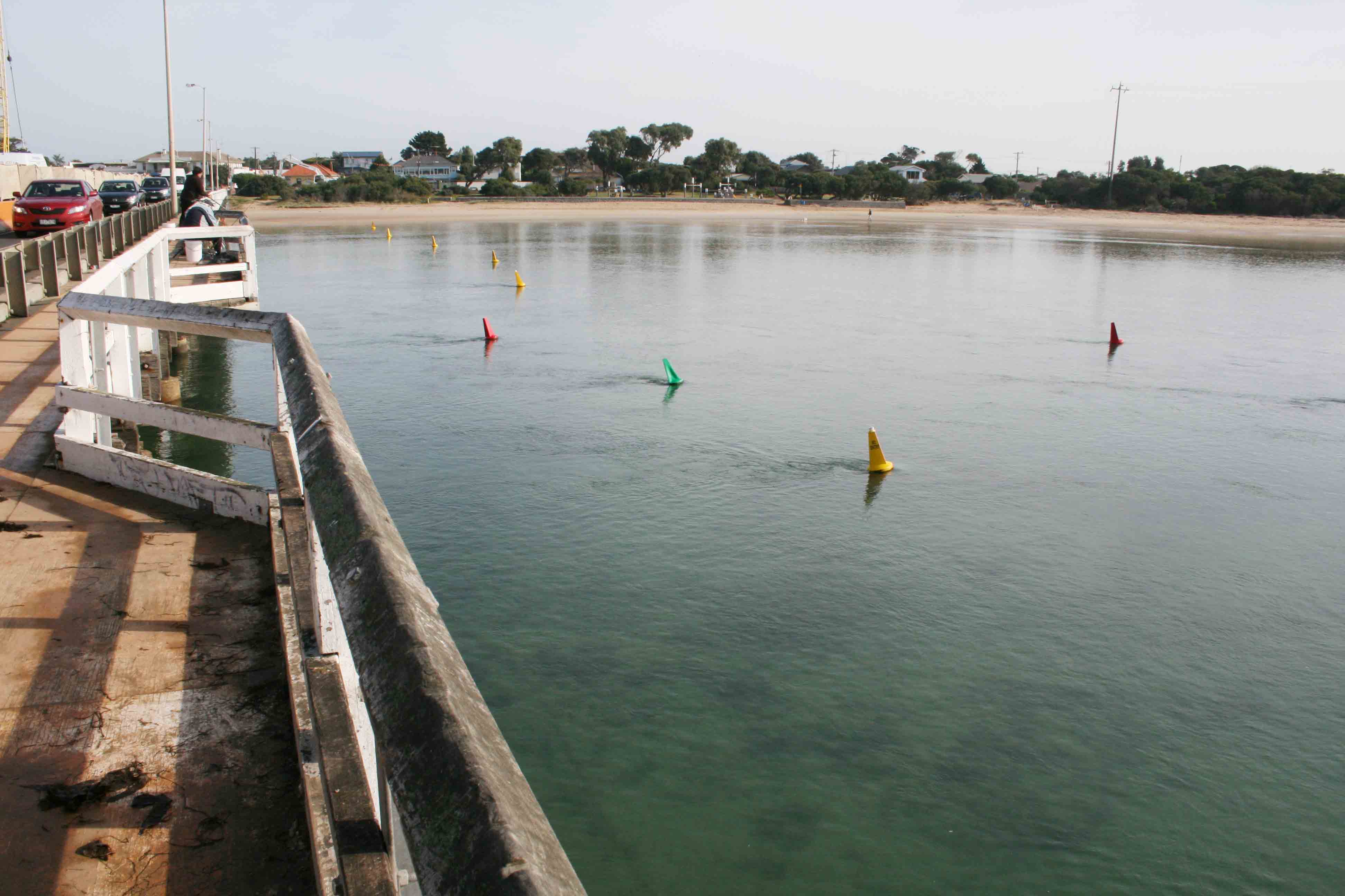
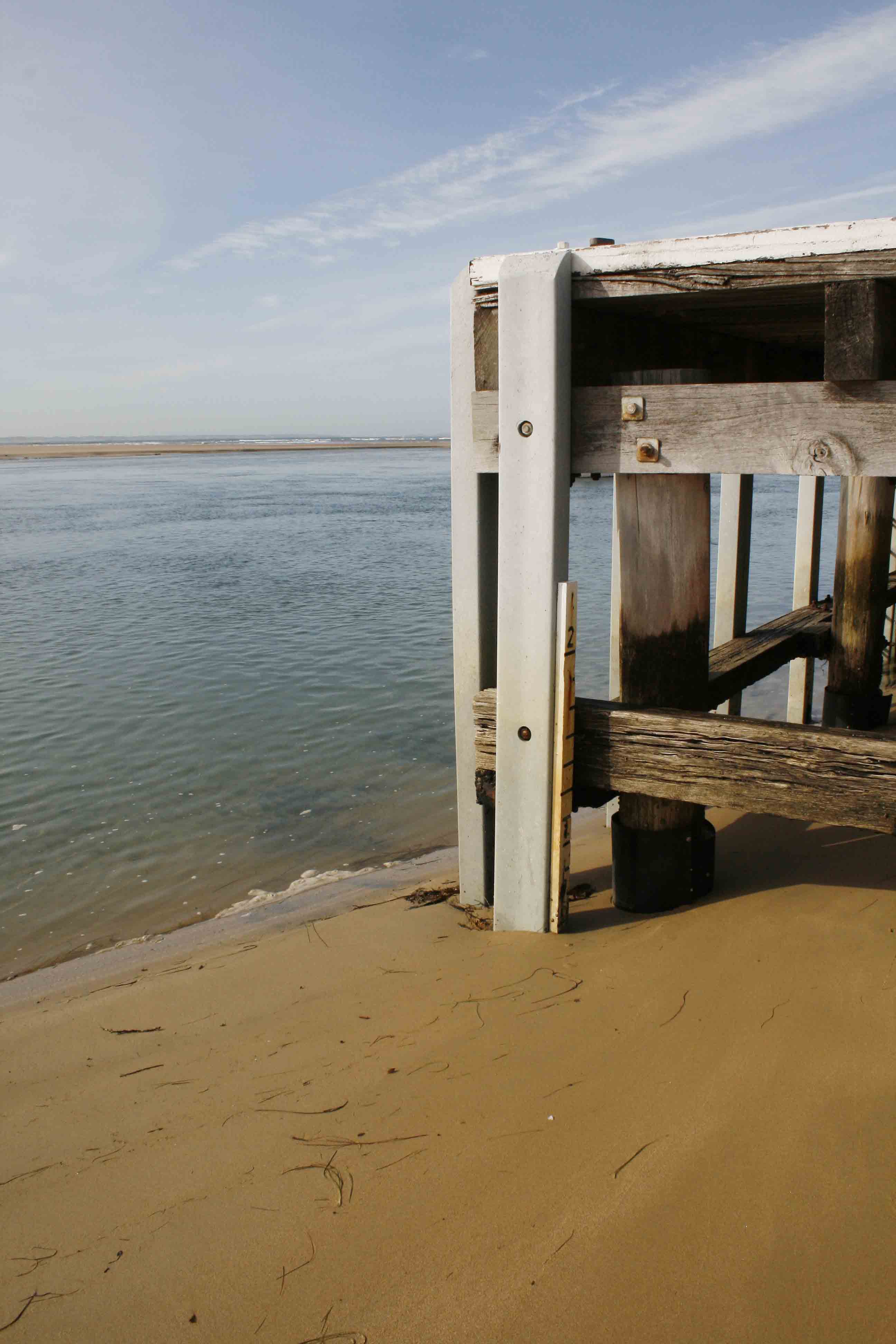
| #5906 | 21 Jul 2011 | Approved | Notes: No tide heights measured as gaugeboard is out of water due to sand build up. | |
| #5805 | 9 Jul 2011 | Approved | Notes: Gaugeboard at "At the Heads" jetty surrounded by sand. | |
| #5723 | 22 Jun 2011 | Approved | ||
| #5666 | 11 Jun 2011 | Approved | Notes: Gauge board is land-locked at low tide. Measurement not possible | |
| #5651 | 22 May 2011 | Approved | Notes: No tide height measurements possible as guage board out of water, sand up to 0.6m mark | |
| #5481 | 9 May 2011 | Approved | Notes: Both gaugeboards are too dirty to see the scale. Could only make a rough estimate of the water level. | |
| #5436 | 16 Apr 2011 | Approved | Notes: BP4 photos were taken on 17/4 as a wedding party was using the table from which BP4 photos are taken on 16/4 | |
| #5368 | 3 Apr 2011 | Approved | Notes: Gauge board still too dirty to read water level | |
| #5327 | 17 Mar 2011 | Approved | ||
| #5262 | 7 Mar 2011 | Approved |
Notes:
We were unable to read water level gauge - too dirty. Bp1 and Bp2 still to be redefined after bridge works Tide condition probably "slack", but the effect of the northerly wind on the surface of water made the flow appear to be "outward". We were surprised that the wind strength was greater at Bp3 (sea level), than at Bp4 (top of the Bluff). Our wind observations were recorded for Bp4 (as usual). |
|
| #5202 | 17 Feb 2011 | Approved | Notes: BP1 and BP2 observations not made as light towers marking each position have been removed. | |
| #5104 | 6 Feb 2011 | Approved |
Notes:
Gauge boards (at Sheepwash Rd and at restaurant jetty) are both too muddy to read scale. River water is brown and turbid following recent recent heavy rains |
|
| #5001 | 18 Jan 2011 | Approved |
Notes:
1. Position of BP1 and BP2 approximate as per Decembde observations. 2. Water in estuary and 300m past Bluff discoloured brown from recent flooding event. |
|
| #4990 | 18 Jan 2011 | Approved |
Notes:
Gauge-boards too dirty to see scale. No readings taken. New markers for BP1 &BP2 have not yet been redefined. Bridge reconstruction still proceeding. |
|
| #4903 | 1 Jan 2011 | Approved |
Notes:
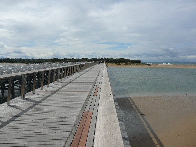
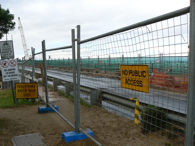
Depth gauge at Sheepwash Rd corner well above water level. Its base is so muddy that the scale is obscured and would be illegible even if it were in the water. The sign marking the position of BP3 has been removed following restoration of pedestrian access to the western bank of the river. Although pedestrian access is again available on the main bridge, the light posts that marked the positions of BP1 and BP2 have been removed. |
|
| #4861 | 18 Dec 2010 | Approved |
Notes:
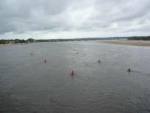
Position of BP1 and BP2 approximate as light towers no longer present on bridge. BP1: 53m from western end of railing on road bridge BP2: 10m west of navigation channel, measured from line of red buoys Construction sign marking BP3 no longer present, grassy knol still obvious. |
|
| #4663 | 12 Nov 2010 | Approved | Notes: Bp1 and Bp2 remain inaccessible due to bridgeworks. Sheepwash Rd gaugeboard used but it was very muddy, and the scale was obscured at the level of the water. Water levels estimated. | |
| #4542 | 8 Oct 2010 | Approved |
Notes:
Bp1 and Bp2 remain inaccessible due to bridge works Gauge board near Sheepwash Rd corner used, but at the start of observations, it was still above the water level, although it was approximately 3 hours since the time of low tide. Nankeen kestrel seen at mouth. Australian Pelicans, Great Egrets, Royal Spoonbills and various cormorants seen at Sheepwash Rd site |
|
| #4201 | 13 Aug 2010 | Approved |
Notes:
Water level measurements not possible - sandbank covering scale to height of 1.0 m. Photopoints 1 and 2 not accessable due to bridge construction. |
|
| #4181 | 6 Aug 2010 | Approved |
Notes:
Gaugeboard surrounded by sand at both start and finish. Bridgeworks prevented pedestrian access to Bp1 and Bp2, hence no images for those sites |
|
| #4002 | 17 Jul 2010 | Approved | ||
| #4004 | 17 Jul 2010 | Approved | ||
| #3804 | 1 Jul 2010 | Approved |
Notes:
Water level was below gauge board at start and finish. Wind stress on water surface made it appear that the tide direction was outward. |
|
| #4441 | 22 Jun 2010 | Approved | Notes: Water level gauge board out of the water. | |
| #3783 | 1 Jun 2010 | Approved | ||
| #3524 | 17 Apr 2010 | Approved | ||
| #3281 | 19 Mar 2010 | Approved | ||
| #3182 | 18 Feb 2010 | Approved | ||
| #3027 | 14 Jan 2010 | Approved | ||
| #3046 | 18 Dec 2009 | Approved | ||
| #3223 | 13 Nov 2009 | Approved |
|
|
| #1006 | 25 Sep 2008 | Approved | ||
| #1005 | 25 Sep 2008 | Approved | ||
| #1003 | 25 Sep 2008 | Approved |
|
|
| #954 | 15 Apr 2008 | Approved |
|
|
| #214 | 20 Jan 2008 | Approved |
|
|
| #725 | 15 Dec 2007 | Approved |
Notes:
Drizzle
|
|


All content, files, data and images provided by the EstuaryWatch Data Portal and Gallery are subject to a Creative Commons Attribution License
Content is made available to be used in any way, and should always attribute EstuaryWatch and www.estuarywatch.org.au