EstuaryWatch Data Portal
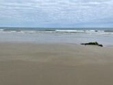
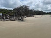
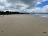
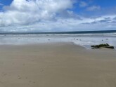
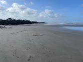
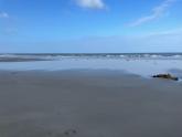
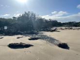
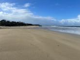
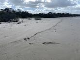
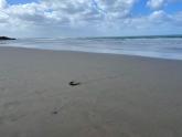
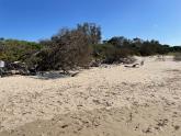
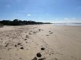
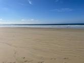
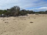
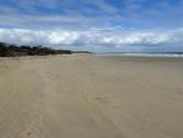
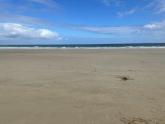
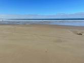
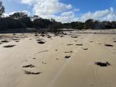
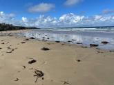
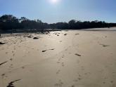
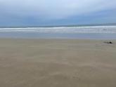
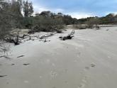
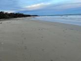
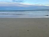
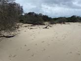
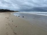
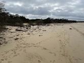
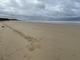
WrMC2 Wreck Creek Mouth Opening Number Two (western end)
Active Mouth Condition 14-07-2020 - 04-09-2024Wreck Creek
| ID | Date | Status | Details | |
|---|---|---|---|---|
| #16419 | 4 Sep 2024 | Approved |
Notes:
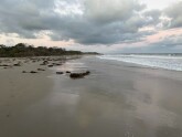
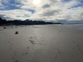
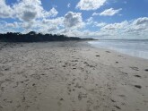
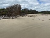
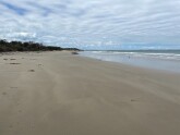
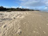
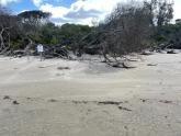
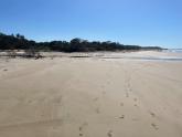
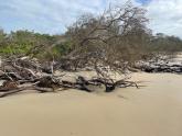
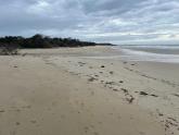
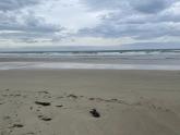
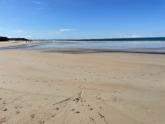
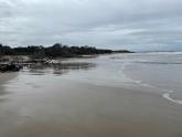
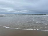
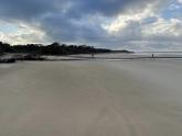
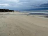
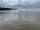
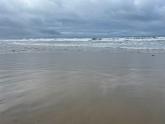
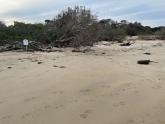
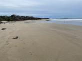
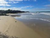
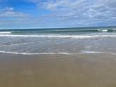
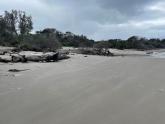
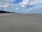
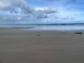
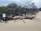
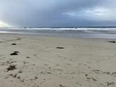
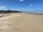
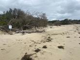
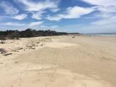
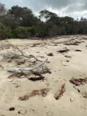
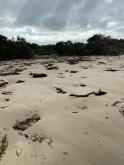
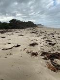
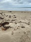
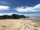
Water levels in the eastern branch reached 2.4mAHD over the weekend due to storm surge and have since dropped to approximately 1.85mAHD. Western Branch has eroded all the way back to the culvert that runs under Cape Paterson-Inverloch Rd and is closed as the culvert has filled up with sand. |
|
| #16417 | 29 Aug 2024 | Approved |
Notes:
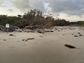
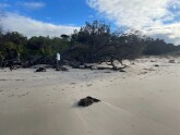
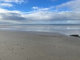
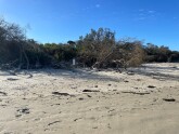
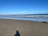
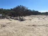
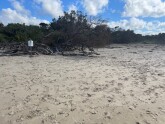
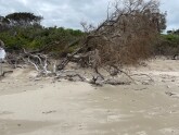
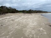
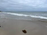
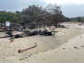
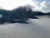
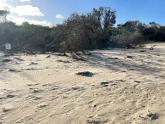
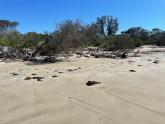
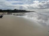
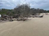
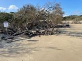
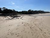
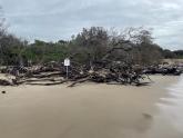
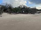
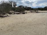
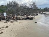
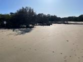
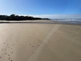
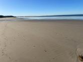
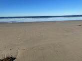
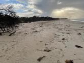
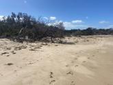
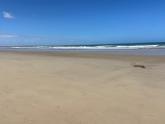
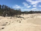
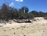
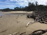
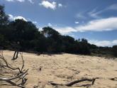
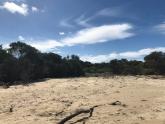
New entrance has opened up in the Western Branch west of its original opening. Not much remaining of sand dunes protecting the West Branch. Water levels have reached the gauge board for the first time in a long time. |
|
| #16365 | 8 Aug 2024 | Approved | ||
| #16153 | 30 Apr 2024 | Approved | ||
| #16115 | 12 Apr 2024 | Approved |
Notes:
Eastern Branch looks as full as it has been in quite a while but still well below water level gauge (1.8m). |
|
| #16098 | 27 Mar 2024 | Approved | ||
| #16052 | 21 Feb 2024 | Approved |
Notes:
Following storms on Feb 15 there was a fish kill (approx. 70 fish). Fish have mosly been eaten/decomposed. |
|
| #16002 | 8 Feb 2024 | Approved | ||
| #15981 | 17 Jan 2024 | Approved |
Notes:
Eastern branch open, western branch closed |
|
| #15945 | 14 Dec 2023 | Approved |
Notes:
Western Branch closed, Eastern Branch open with a small trickle. Spotted 10-20 Estuary Perch swimming around in the eastern branch. First fish I have seen since the fish kill in January, |
|
| #15839 | 16 Nov 2023 | Approved |
Notes:
Western Branch closed, Eastern Branch open but with a small trickle coming out |
|
| #15731 | 31 Aug 2023 | Approved | ||
| #15656 | 11 Jul 2023 | Approved |
Notes:
Eastern and Western Branches have re-joined and are flowing out together |
|
| #15571 | 14 Jun 2023 | Approved |
Notes:
Both west and east branches open |
|
| #15554 | 30 May 2023 | Approved | ||
| #15481 | 19 Apr 2023 | Approved |
Notes:
Eastern branch open, western branch closed with lots of algae |
|
| #15340 | 8 Mar 2023 | Approved |
Notes:
Eastern branch open, Western branch closed. Lots of eels hanging around the closed entrance of the Western Branch |
|
| #15309 | 21 Feb 2023 | Approved |
|
|
| #15273 | 8 Feb 2023 | Approved | ||
| #15216 | 4 Jan 2023 | Approved | ||
| #15123 | 9 Nov 2022 | Approved | ||
| #15105 | 3 Nov 2022 | Approved |
Notes:
Both West and East branches open. |
|
| #15060 | 5 Oct 2022 | Approved |
Notes:
Eastern brance closed with a very small berm (>5cm) but western branch open with a slight trickle. Eastern branch should open again after tonights rainfall. |
|
| #15034 | 19 Sep 2022 | Approved |
Notes:
Water level estimated |
|
| #14995 | 7 Sep 2022 | Approved |
Notes:
Water level estimated due to being well below gauge level. |
|
| #14975 | 24 Aug 2022 | Approved |
Notes:
Water level estimated but was very low. |
|
| #14942 | 16 Aug 2022 | Approved |
Notes:
Eastern branch opened again after heavy rainfall over the weekend. The Amazon Shipwreck was re-exposed. Water levels are very low (>1.0mAHD). |
|
| #14934 | 11 Aug 2022 | Approved |
Notes:
Eastern branch closed but looks like it would be engaged at high tide and wouldn't take much for it to open again. Western branch still open. |
|
| #14914 | 27 Jul 2022 | Approved |
Notes:
Both East and West branches open. |
|
| #14897 | 19 Jul 2022 | Approved |
Notes:
Both East and West branches open |
|
| #14886 | 13 Jul 2022 | Approved |
Notes:
Eastern and Western Branches open |
|
| #14865 | 6 Jul 2022 | Approved |
Notes:
East and west branches open |
|
| #14856 | 29 Jun 2022 | Approved |
Notes:
Both East and West branches open |
|
| #14819 | 23 Jun 2022 | Approved |
Notes:
Western and Eastern branches still open |
|
| #14749 | 14 Jun 2022 | Approved | ||
| #14734 | 8 Jun 2022 | Approved |
Notes:
Both eastern and western branches open |
|
| #14714 | 6 Jun 2022 | Approved |
Notes:
Eastern branch open |
|
| #14657 | 8 May 2022 | Approved | ||
| #14605 | 20 Apr 2022 | Approved |
Notes:
Closed but looks like Eastern Branch opened on Monday or yesterday during the heavy rains. |
|
| #14593 | 14 Apr 2022 | Approved |
Notes:
Water levels really low and algae in the water. Water levels approximately 1.0m AHD |
|
| #14571 | 31 Mar 2022 | Approved |
Notes:
Bass Coast Shire Council is doing works on extending the culvert so they have pumped out water downstream of the Surf Parade bridge and blocked off water from flowing in from upstream. |
|
| #14533 | 9 Mar 2022 | Approved |
Notes:
Some fish were found dead in the Eastern Branch last Friday the morning after works on extending the culvert began, most likely due to low oxygen levels in the Creek. The eastern branch opened up on Saturday/Sunday when the rain came through, filling the creek back up and improving oxygen levels. |
|
| #14516 | 1 Mar 2022 | Approved |
Notes:
Water levels very low. Some bream hanging around at the mouth. Forgot to take a photo but basically the same as last photo taken. |
|
| #14473 | 2 Feb 2022 | Approved | ||
| #14460 | 24 Jan 2022 | Approved |
Notes:
Water levels very low. Brian from PV reported that the Creek opened briefly on Jan 8 when the storm passed through Inverloch. |
|
| #14418 | 16 Dec 2021 | Approved |
Notes:
Water Level was below gauge board so an estimation |
|
| #14382 | 2 Dec 2021 | Approved |
|
|
| #14348 | 9 Nov 2021 | Approved |
Notes:
Both the Eastern and Western branches open. Photos taken from the eastern side instead of the western side of the Creek by accident. |
|
| #14099 | 4 May 2021 | Approved | ||
| #14041 | 30 Mar 2021 | Approved | ||

All content, files, data and images provided by the EstuaryWatch Data Portal and Gallery are subject to a Creative Commons Attribution License
Content is made available to be used in any way, and should always attribute EstuaryWatch and www.estuarywatch.org.au


