EstuaryWatch Data Portal
GMC Gellibrand River Estuary Mouth Observation Site
6 April 2017
Overview
| Estuary | Gellibrand River Estuary |
|---|---|
| Site | Gellibrand River Estuary Mouth Observation Site |
| Observation ID | #11065 |
| Date and Time | Thursday 6th April 2017 13:02pm |
| Approved | Approved |
Notes
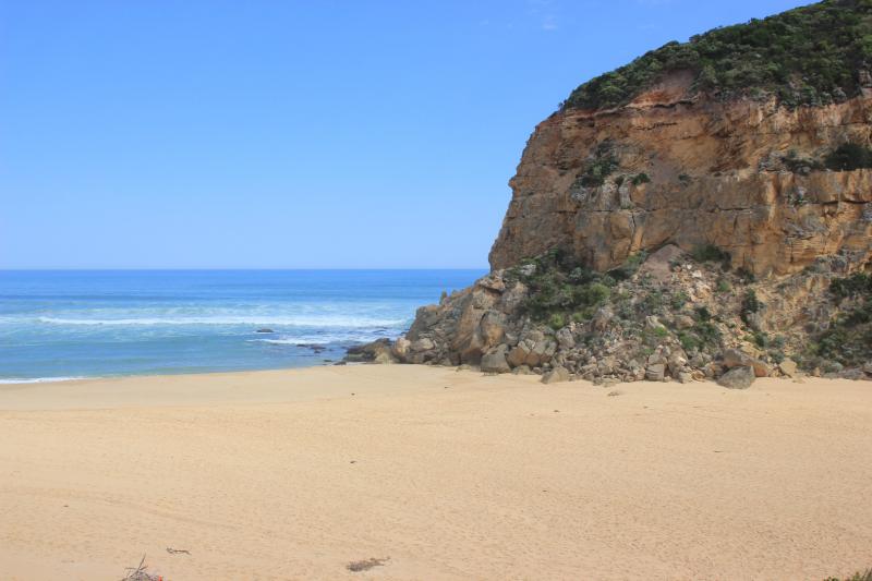
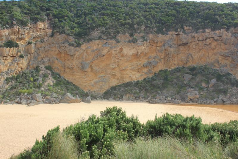
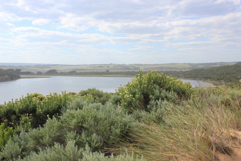
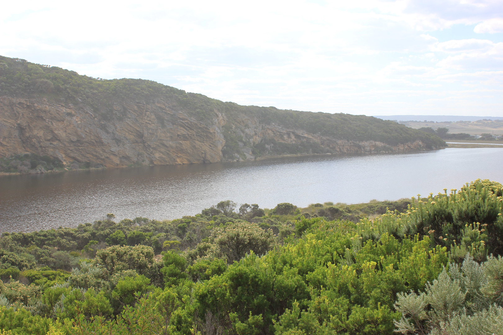
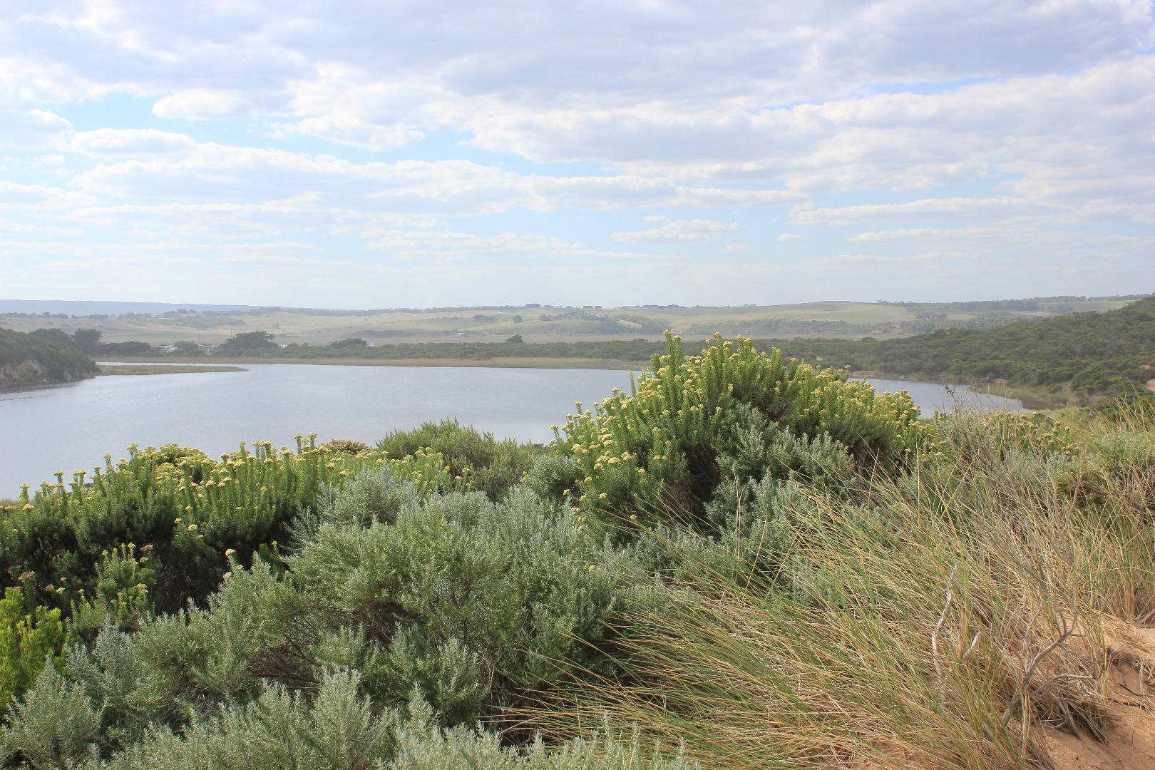
Mouth closed - very long wide bar with wide front across estuary
Beach highest at east end but also high area just east of the channel. There are deep channels along beach front running north to south. Actual area directly in front of mouth is extremely low compared with rest of beach, and being continually scoured out by by waves coming up over the 1st small berm closest to sea then running west along a lower channel dividing 1st and higher 2nd berm
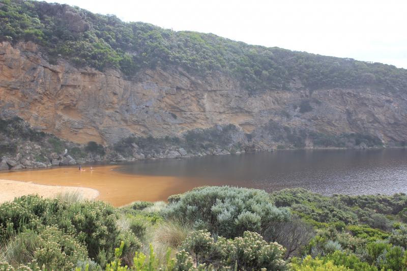
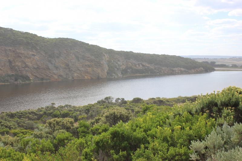
Low track completely under water with many small fish observed, high track has water cover in low area, no visible water cover in camp ground and water only at sides of OOR near flood markers
Mouth Observation
| Mouth state | Closed |
|---|---|
| Previous | C C C C C C C C P C O O O O O O O O O O O O O O O O O O O O O O O O O O O O O O O O O O O P O P C C O O O O O O O C O |
| Flow Present? | No |
| Previous | N N N N N N N N N N Y Y Y Y Y Y Y Y Y Y Y Y Y Y Y Y Y Y Y Y Y Y Y Y Y Y Y Y Y Y Y Y Y Y Y Y Y Y N N Y Y Y N Y Y Y N N |
| Flow Direction | N/A |
| Previous | N N N N N N N N N N O O O I I I O O O O I O O O I O O O O O O O O O O O O O O O I I O O O I O I N N O O I N O O O N N |
| Above Sea | Above Estuary | |
|---|---|---|
| Berm Height (m) | 1.1m | 0.4m |
| Berm Length (m) | 128.0m |
Physical Condition
| Current | Mode | |
|---|---|---|
| Wind Direction | South | |
| Beaufort Scale | Gentle breeze | |
| Sea State | Moderate |


All content, files, data and images provided by the EstuaryWatch Data Portal and Gallery are subject to a Creative Commons Attribution License
Content is made available to be used in any way, and should always attribute EstuaryWatch and www.estuarywatch.org.au