EstuaryWatch Data Portal
GMC Gellibrand River Estuary Mouth Observation Site
6 December 2017
Observation details
Overview
| Estuary | Gellibrand River Estuary |
|---|---|
| Site | Gellibrand River Estuary Mouth Observation Site |
| Observation ID | #11635 |
| Date and Time | Wednesday 6th December 2017 10:20am |
| Approved | Approved |
Notes
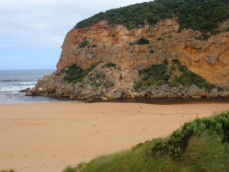
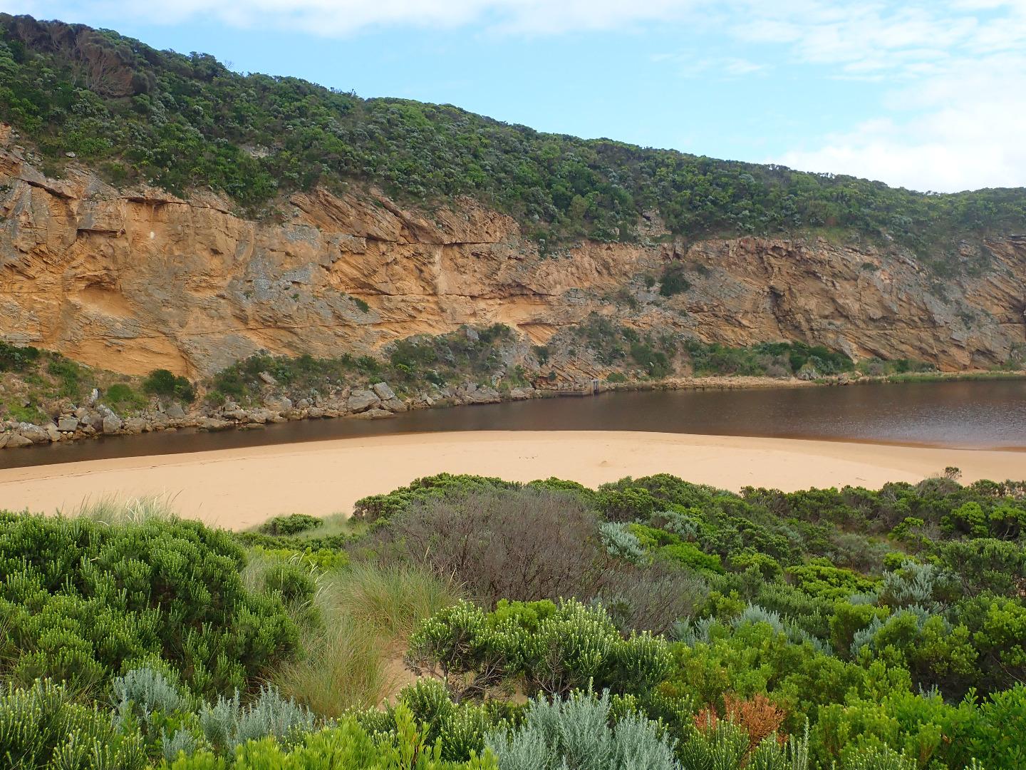
AHD @ G6 1.21
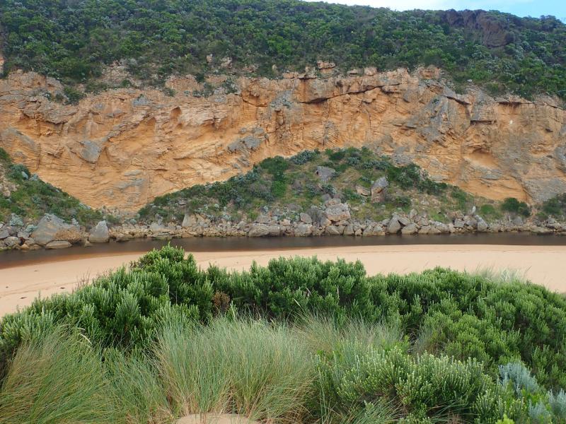
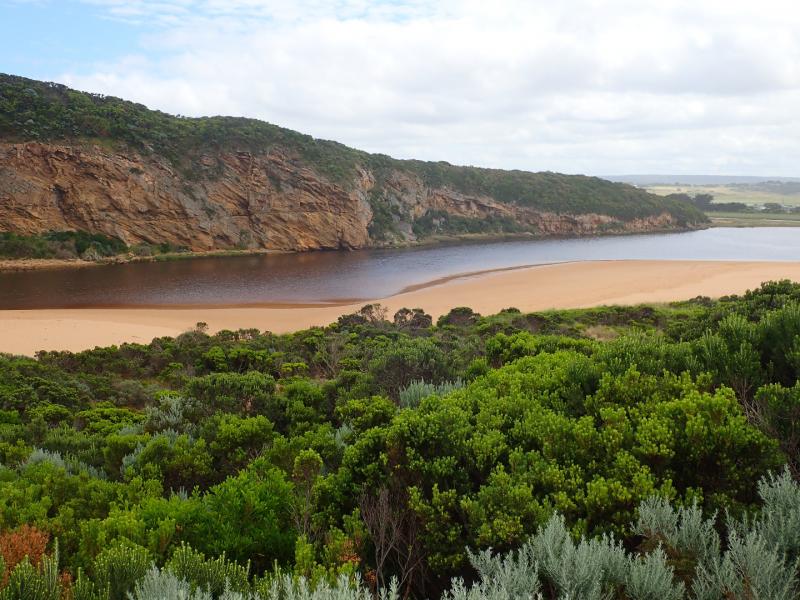
Pale discharge out around the mouth & slightly to east.
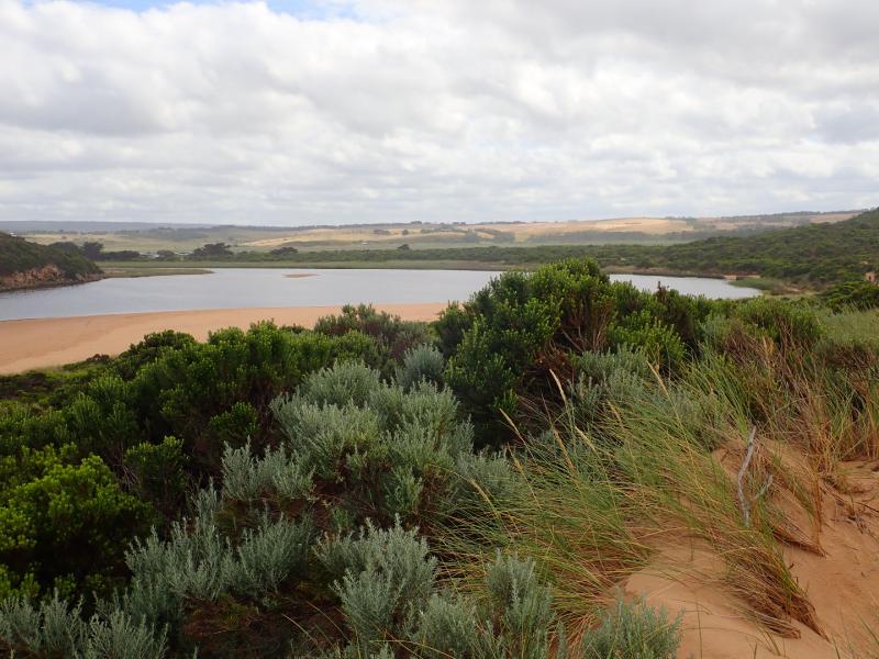
Water levels dropping after recent rain event. Swash line from last hi tide is high up on beach clearly indicated by dark silt.
Beach has been reshaped (possibility from recent short swell times & directional changes) with more sand close to entrance. No flow between eastern side of 1st rock & beach
More rock down from the south face of Pt Ronald
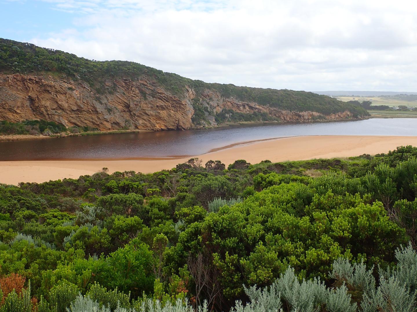
Mouth Observation
| Mouth state | Open |
|---|---|
| Previous | O O O O O O O O O O P O P C C O O O O O O O C O C C C O O O O O C O O O O O O O O O O O O O O O O O O O O O O O |
| Flow Present? | Yes |
| Previous | Y Y Y Y Y Y Y Y Y Y Y Y Y N N Y Y Y N Y Y Y N N N N N Y Y Y Y Y N Y Y Y N Y Y Y Y Y Y Y Y Y Y Y Y Y Y Y Y Y Y Y |
| Flow Direction | Out |
| Previous | O O O O O I I O O O I O I N N O O I N O O O N N N N N O O O O O N O O O N O O O O O O O O O O O O O O O O O O O |
| Above Sea | Above Estuary | |
|---|---|---|
| Berm Height (m) | ||
| Berm Length (m) |
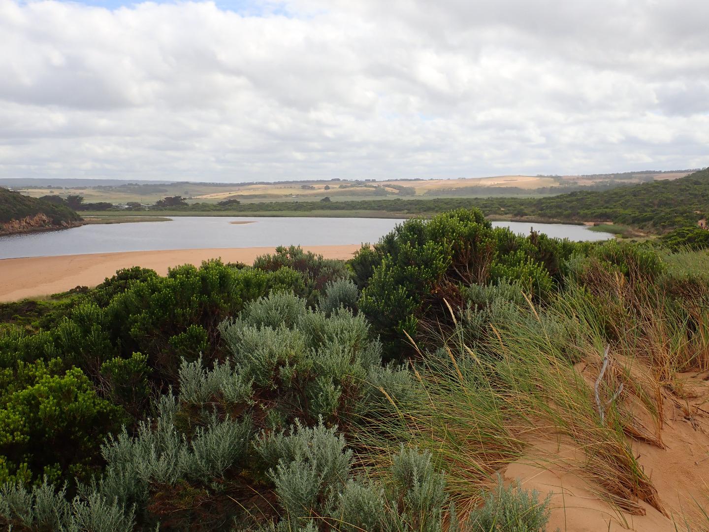
Physical Condition
| Current | Mode | |
|---|---|---|
| Wind Direction | South-East | |
| Beaufort Scale | Moderate breeze | |
| Sea State | Moderate |


All content, files, data and images provided by the EstuaryWatch Data Portal and Gallery are subject to a Creative Commons Attribution License
Content is made available to be used in any way, and should always attribute EstuaryWatch and www.estuarywatch.org.au