EstuaryWatch Data Portal
GMC Gellibrand River Estuary Mouth Observation Site
28 February 2018
Overview
| Estuary | Gellibrand River Estuary |
|---|---|
| Site | Gellibrand River Estuary Mouth Observation Site |
| Observation ID | #11844 |
| Date and Time | Wednesday 28th February 2018 09:00am |
| Approved | Approved |
Notes
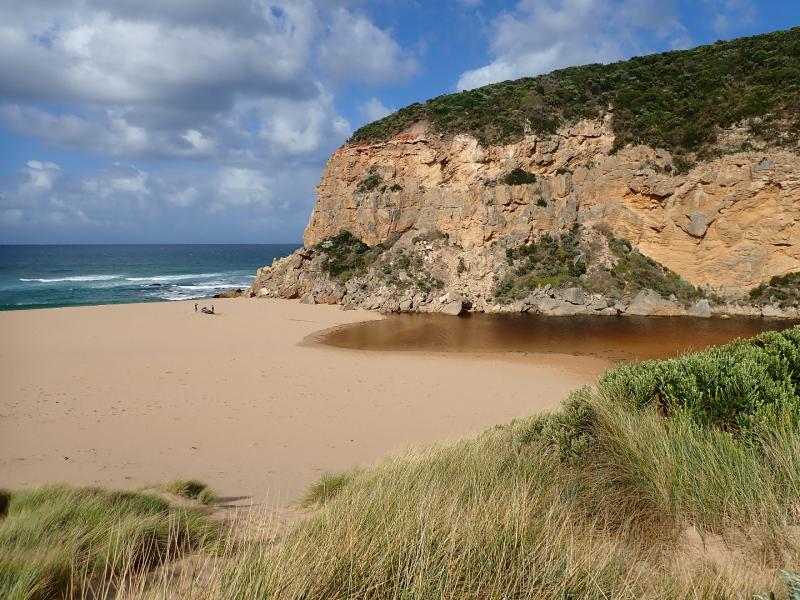
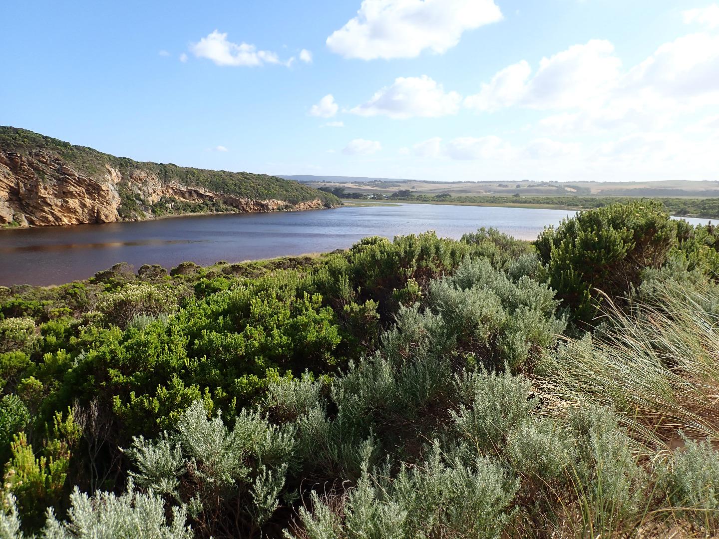
Mouth remains closed & berm has increased in size with more sand over rocks. Water level in estuary higher with water over all of low track & small amount in lowest part of top track. No water over other roads, camp ground or tracks apart from water at side of OOR at flood markers where an extremely large number of small fish (1-4 cm) are very active
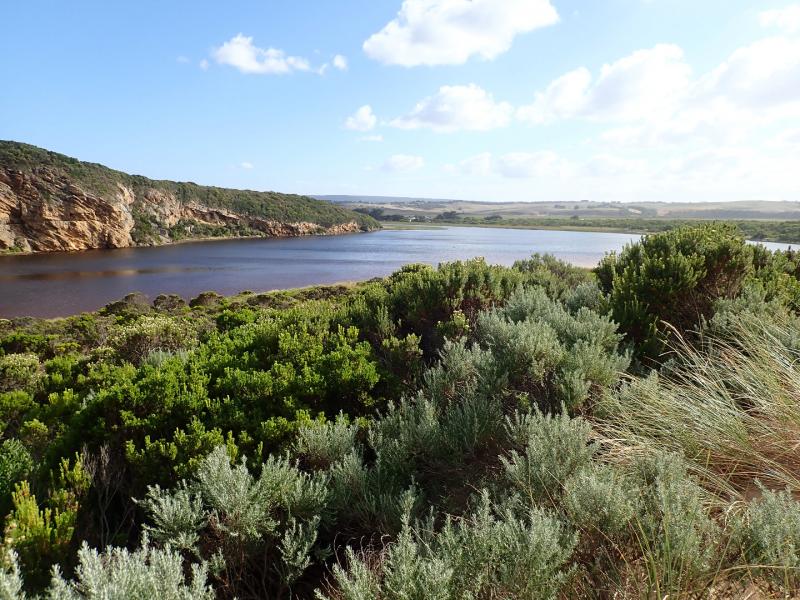
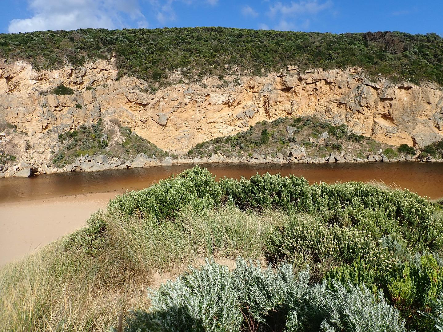
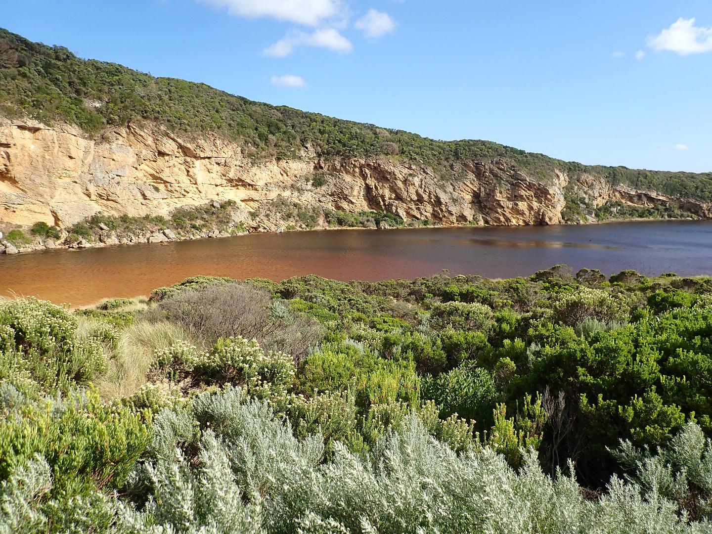
Estuary has now extended completely across from cliff to sand dunes at northern end of channel
Unusual westerly swell impacting east end of beach to around mid beach where waves are going further up - the backwash continues to scour out narrow depressions at mid beach with large amount of sand in breakers. Closer to east small sand cliffs have formed at beach face
Mouth Observation
| Mouth state | Closed |
|---|---|
| Previous | C O O O O O O O C O C C C O O O O O C O O O O O O O O O O O O O O O O O O O O O O O O O O O P C C C C |
| Flow Present? | No |
| Previous | N Y Y Y N Y Y Y N N N N N Y Y Y Y Y N Y Y Y N Y Y Y Y Y Y Y Y Y Y Y Y Y Y Y Y Y Y Y Y Y Y Y N N N N N |
| Flow Direction | N/A |
| Previous | N O O I N O O O N N N N N O O O O O N O O O N O O O O O O O O O O O O O O O O O O O O O O O N N N N N |
| Above Sea | Above Estuary | |
|---|---|---|
| Berm Height (m) | 1.0m | 0.8m |
| Berm Length (m) | 53.0m |
Physical Condition
| Current | Mode | |
|---|---|---|
| Wind Direction | North | |
| Beaufort Scale | Fresh breeze | |
| Sea State | Rough |


All content, files, data and images provided by the EstuaryWatch Data Portal and Gallery are subject to a Creative Commons Attribution License
Content is made available to be used in any way, and should always attribute EstuaryWatch and www.estuarywatch.org.au