EstuaryWatch Data Portal
Observation details
Overview
| Estuary | Wye River Estuary |
|---|---|
| Site | Wye River Mouth Condition |
| Observation ID | #15618 |
| Date and Time | Sunday 2nd July 2023 10:00am |
| Approved | Approved |
Notes
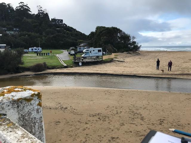
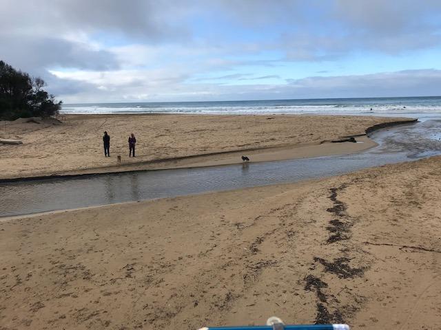
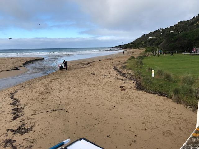
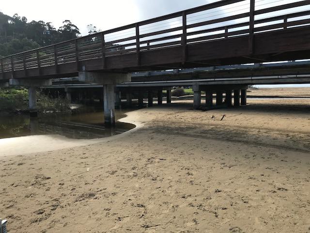
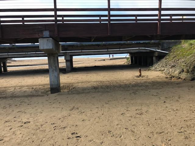
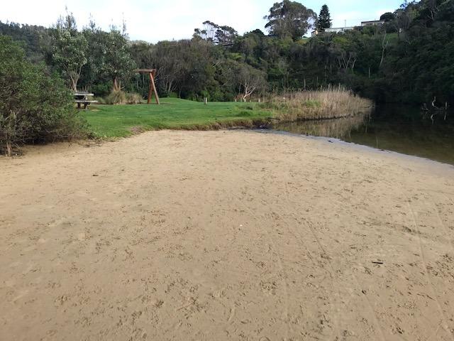
Lots of sand movement in the past few weeks. Sand deposited upstream of bridge, see photos attached. Also the river channel has been eroding the beach on the west side adjacent to the Great Ocean Road. In the past few weeks there have been some steep sand banks however these have eroded down. Estuary Watch coincided with high tide.
Mouth Observation
| Mouth state | Open |
|---|---|
| Previous | O O O O O O O O O O O O O O O O O O O O O O O O |
| Flow Present? | Yes |
| Previous | Y Y Y Y Y Y Y Y Y Y Y Y Y Y Y Y Y Y Y Y Y Y Y Y |
| Flow Direction | Out |
| Previous | O O O O O O O O O O O O O O O O O O O O O O O O |
| Above Sea | Above Estuary | |
|---|---|---|
| Berm Height (m) | ||
| Berm Length (m) |
Physical Condition
| Current | Mode | |
|---|---|---|
| Wind Direction | South-West | |
| Beaufort Scale | Light Breeze | |
| Sea State | Slight |


All content, files, data and images provided by the EstuaryWatch Data Portal and Gallery are subject to a Creative Commons Attribution License
Content is made available to be used in any way, and should always attribute EstuaryWatch and www.estuarywatch.org.au