EstuaryWatch Data Portal
GMC Gellibrand River Estuary Mouth Observation Site
12 April 2013
Observation details
Overview
| Estuary | Gellibrand River Estuary |
|---|---|
| Site | Gellibrand River Estuary Mouth Observation Site |
| Observation ID | #8217 |
| Date and Time | Friday 12th April 2013 06:55am |
| Approved | Approved |
Notes
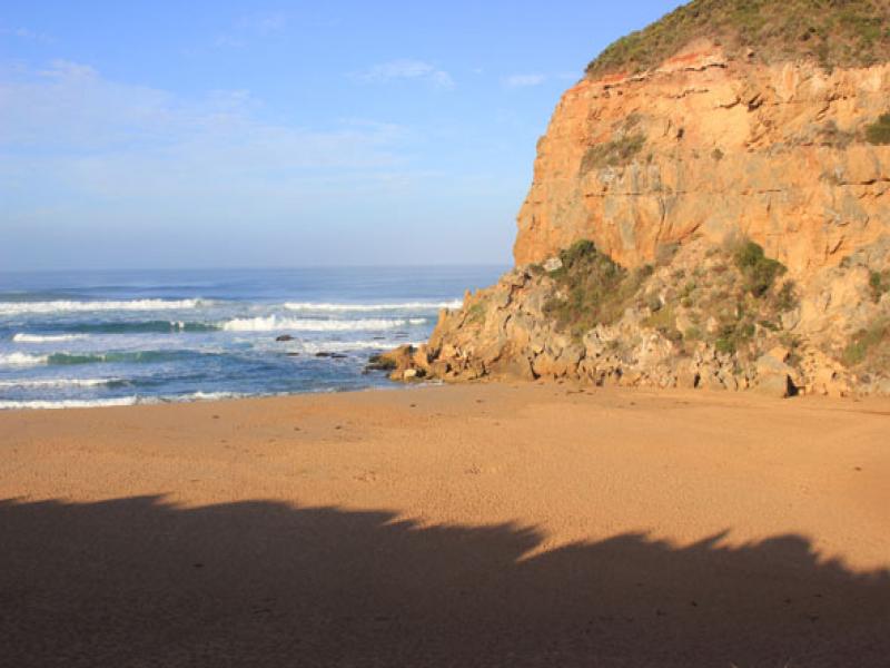
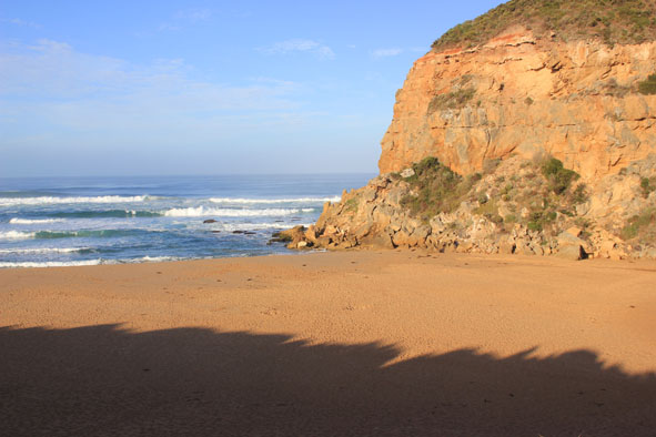
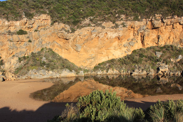
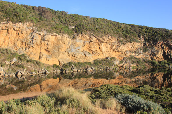
- Mouth closed but some flow out has occured along the trench recently dug during an attempt at illegal opening.
- Flow out observed 11/04/13 and signs of wave entry & outflow after hi tide noted on12/04/13
- Water is currently flowing along trench to about 20m from estuary & going under ground
- Beach wide & slopping (horseshoe shape) but highest point remains east of mouth. Lower next to cliff
- Long shore drift strong about 20-50m out to sea
Mouth Observation
| Mouth state | Closed |
|---|---|
| Previous | C O P O O O P O O O O O O O O O O O O O O O O O O O O O O O O O O O O O O C C C C C C C C C C C O O O O O O C C C C O C C C C C C |
| Flow Present? | No |
| Previous | N Y N Y Y Y Y Y Y Y Y Y Y Y Y Y Y Y Y Y Y Y Y Y Y Y Y Y Y Y Y Y Y Y Y Y Y N N N N N N N N Y N N Y Y Y Y Y Y N N N N Y N N N N N |
| Flow Direction | N/A |
| Previous | N I N I I O I O O O O O O O O O O O O O O O O O O O O O O O O O O O O O O N N N N N N N N N N O O I O O N N N N I N N N N N |
| Above Sea | Above Estuary | |
|---|---|---|
| Berm Height (m) | 0.9m | 0.2m |
| Berm Length (m) |
Physical Condition
| Current | Mode | |
|---|---|---|
| Wind Direction | North-East | |
| Beaufort Scale | Light Air | |
| Sea State | Rough |


All content, files, data and images provided by the EstuaryWatch Data Portal and Gallery are subject to a Creative Commons Attribution License
Content is made available to be used in any way, and should always attribute EstuaryWatch and www.estuarywatch.org.au