EstuaryWatch Data Portal
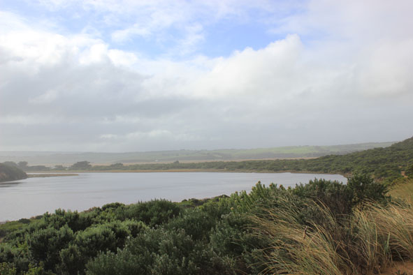
GMC Gellibrand River Estuary Mouth Observation Site
25 June 2014
Observation details
Overview
| Estuary | Gellibrand River Estuary |
|---|---|
| Site | Gellibrand River Estuary Mouth Observation Site |
| Observation ID | #8965 |
| Date and Time | Wednesday 25th June 2014 13:25pm |
| Approved | Approved |
Notes
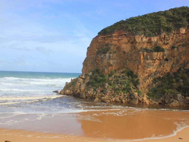
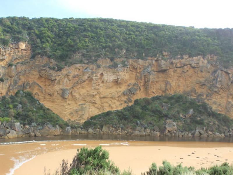
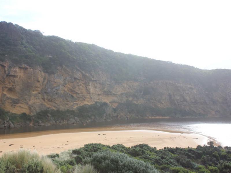
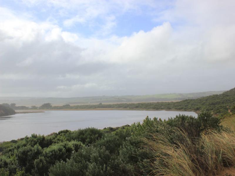
- Dark discharge out around mouth & east along foreshore(difficult to estimate because of waves & foam
- Longshore drift active
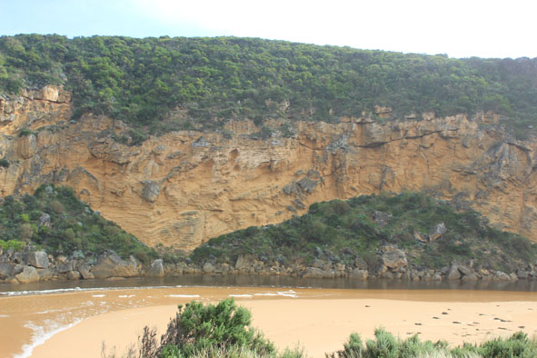
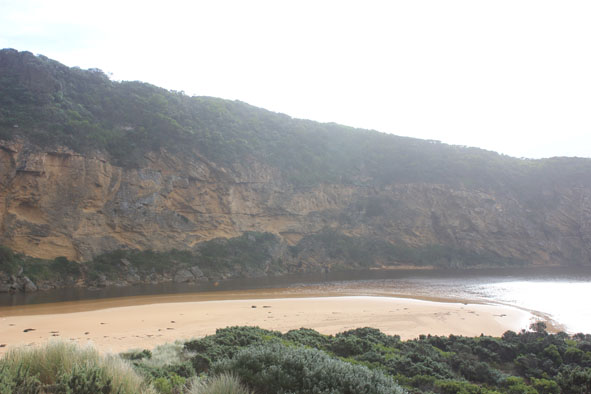
- Base of dunes at GP1 has been eroded (cut 1-2m.)
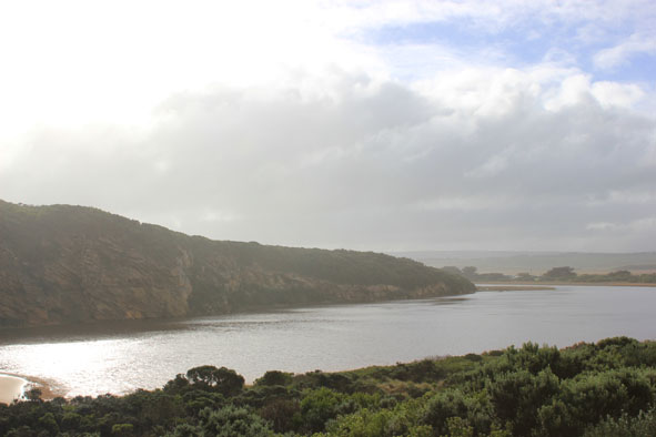
- Sand has built up around mouth & at northern end of channel (site of whirlpool 20140624) long spit extends north to near tunnel entrance
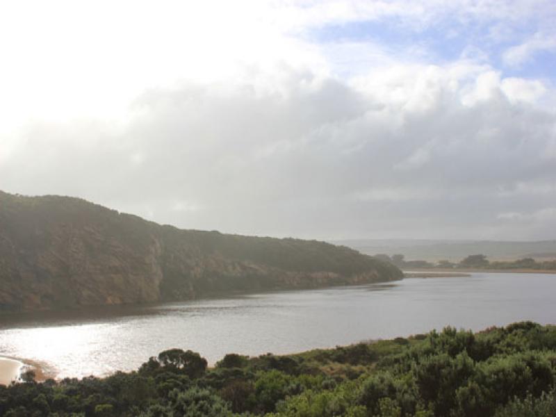
- Latrobe creek flooded as are wetlands up to G4 where water is just under the bridge decking
- Flooding upstream G4 with water over bank midway between G5&G4
- South side of channel at G5 under water but flats on north side have water only in lower areas
- Flooding starting from G5 to G6
Mouth Observation
| Mouth state | Open |
|---|---|
| Previous | O O O O O O O O O O O O O O O O O O O O O O O O O O O O O O O O O O O O O C C C P C C O O O O O O O O |
| Flow Present? | Yes |
| Previous | Y Y Y Y Y Y Y Y Y Y Y Y Y Y Y Y Y Y Y Y Y Y Y Y Y Y Y Y Y Y Y Y Y Y Y Y Y N N N Y N N Y Y Y Y Y Y Y Y |
| Flow Direction | Out |
| Previous | I I O O O O O O O O O O O O O O O O O O O O O O O O O O O O O O O O O O O N N N I N N O O I O I I O I |
| Above Sea | Above Estuary | |
|---|---|---|
| Berm Height (m) | ||
| Berm Length (m) |
Physical Condition
| Current | Mode | |
|---|---|---|
| Wind Direction | East | |
| Beaufort Scale | Moderate breeze | |
| Sea State | Rough |


All content, files, data and images provided by the EstuaryWatch Data Portal and Gallery are subject to a Creative Commons Attribution License
Content is made available to be used in any way, and should always attribute EstuaryWatch and www.estuarywatch.org.au