EstuaryWatch Data Portal
GMC Gellibrand River Estuary Mouth Observation Site
1 August 2014
Observation details
Overview
| Estuary | Gellibrand River Estuary |
|---|---|
| Site | Gellibrand River Estuary Mouth Observation Site |
| Observation ID | #9042 |
| Date and Time | Friday 1st August 2014 12:16pm |
| Approved | Approved |
Notes
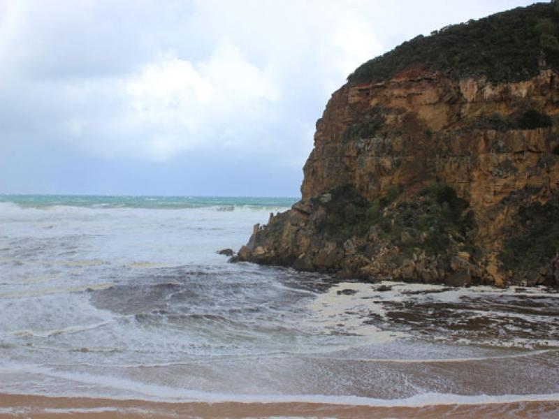
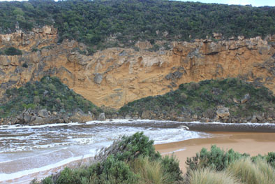
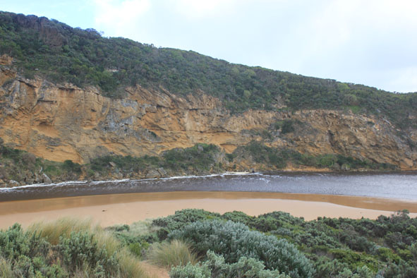
- Dark discharge out around mouth into high sea
- Waves entering across a wide area up channel travelling north & east (wind driven)- in all directions at mouth
- Waves up to base of dunes & more damage both here & in estuary from high sea 31/07/14
- While water is currently dark & dirty it was reported that 'clear green water with wind slop waves 30cm. high' was going up past Princetown township on 31/07/14)
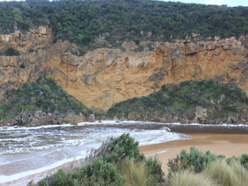
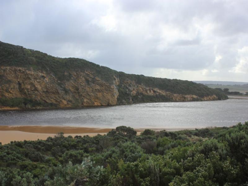
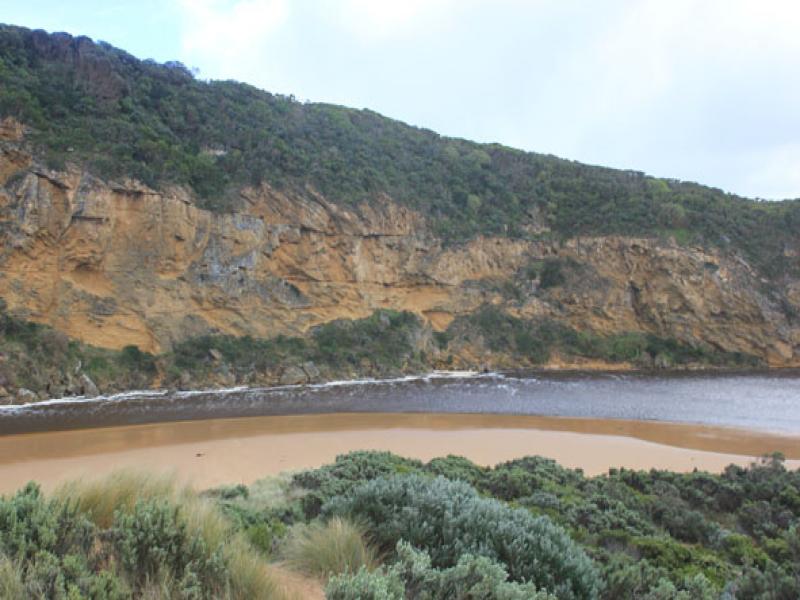
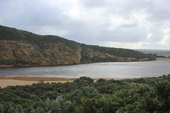
Mouth Observation
| Mouth state | Open |
|---|---|
| Previous | O O O O O O O O O O O O O O O O O O O O O O O O O O O O O O O O O C C C P C C O O O O O O O O O O O O O O |
| Flow Present? | Yes |
| Previous | Y Y Y Y Y Y Y Y Y Y Y Y Y Y Y Y Y Y Y Y Y Y Y Y Y Y Y Y Y Y Y Y Y N N N Y N N Y Y Y Y Y Y Y Y Y Y Y Y Y Y |
| Flow Direction | In |
| Previous | O O O O O O O O O O O O O O O O O O O O O O O O O O O O O O O O O N N N I N N O O I O I I O I O O O O O O |
| Above Sea | Above Estuary | |
|---|---|---|
| Berm Height (m) | ||
| Berm Length (m) |
Physical Condition
| Current | Mode | |
|---|---|---|
| Wind Direction | South | |
| Beaufort Scale | Gale, fresh gale | |
| Sea State | High |


All content, files, data and images provided by the EstuaryWatch Data Portal and Gallery are subject to a Creative Commons Attribution License
Content is made available to be used in any way, and should always attribute EstuaryWatch and www.estuarywatch.org.au