EstuaryWatch Data Portal
GMC Gellibrand River Estuary Mouth Observation Site
10 April 2015
Observation details
Overview
| Estuary | Gellibrand River Estuary |
|---|---|
| Site | Gellibrand River Estuary Mouth Observation Site |
| Observation ID | #9508 |
| Date and Time | Friday 10th April 2015 09:30am |
| Approved | Approved |
Notes
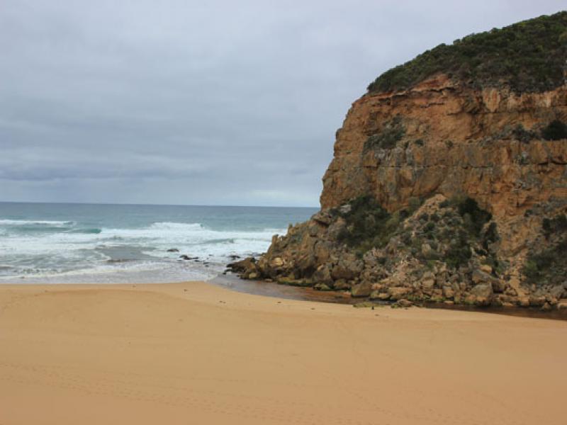
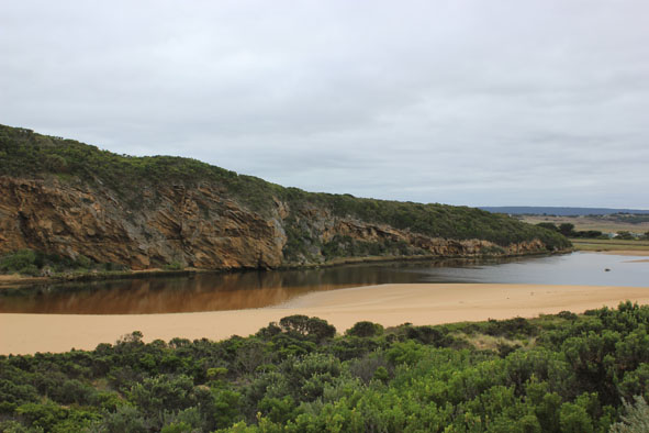
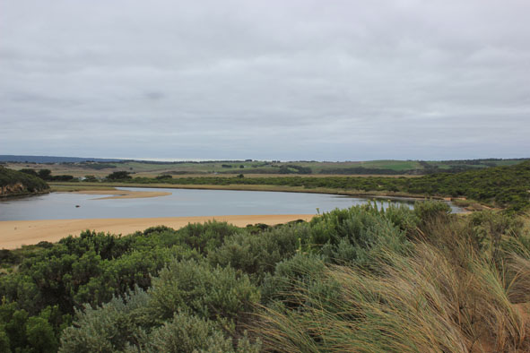
- Flow out over shallow area, some discharge visible around mouth & slightly to east
- Occasional waves entering
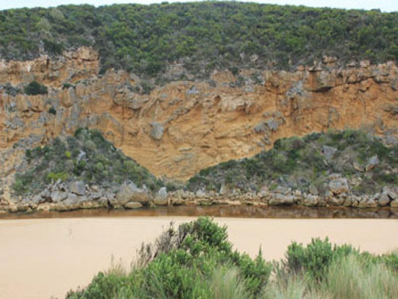
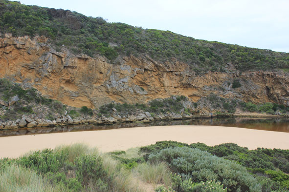
- Large amount of sand has built up around mouth & upstream of rocks
- Steep(to 40cm.) high sheer face to east side of channel about 8m. from waters edge
- Beach- horseshoe shaped with steep slope to ocean
- Slight longshore drift toward mouth but much stronger at east end of beach
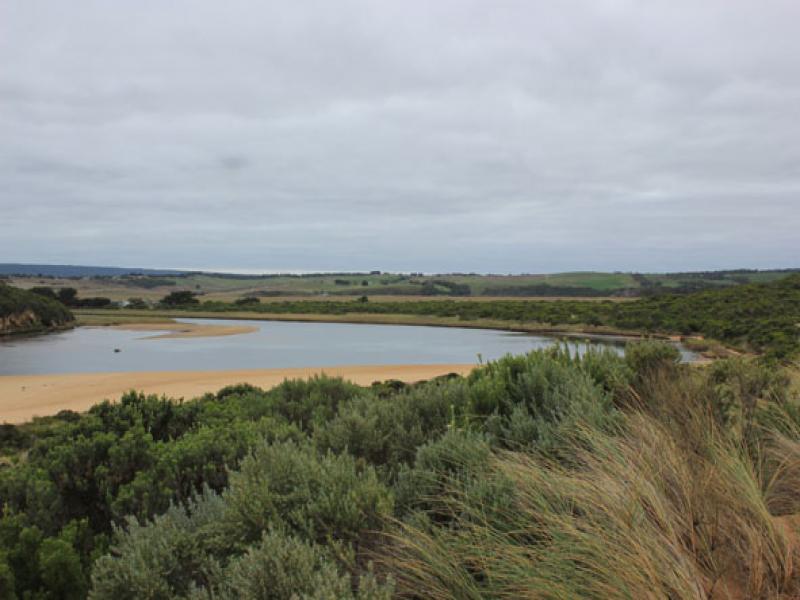
- Sand bar well exposed ( very low water level)
- Large areas of seagrass becoming exposed, some covered by rotting algae especially in area near recent Phragmities establishment
- Very large no. millipedes throughout the area
Mouth Observation
| Mouth state | Open |
|---|---|
| Previous | O O O O O O O O O O O O O O O O O O O O O O O O O O O O O O O O O O C C C C O O P C C O O O C C C C C C O O |
| Flow Present? | Yes |
| Previous | Y Y Y Y Y Y Y Y Y Y Y Y Y Y Y Y Y Y Y Y Y Y Y Y Y Y Y Y Y Y Y Y Y Y N N N N Y Y Y N N Y Y Y N N N N N N Y Y |
| Flow Direction | Out |
| Previous | O O I O I I O I O O O O O O I O O O O O O O O O O O O O O O O O N N N N O O I N N O I O N N N N N N O O |
| Above Sea | Above Estuary | |
|---|---|---|
| Berm Height (m) | ||
| Berm Length (m) |
Physical Condition
| Current | Mode | |
|---|---|---|
| Wind Direction | South-East | |
| Beaufort Scale | Light Breeze | |
| Sea State | Moderate |


All content, files, data and images provided by the EstuaryWatch Data Portal and Gallery are subject to a Creative Commons Attribution License
Content is made available to be used in any way, and should always attribute EstuaryWatch and www.estuarywatch.org.au