EstuaryWatch Data Portal
Overview
| Estuary | Wye River Estuary |
|---|---|
| CMA | Corangamite CMA |
| Type | Photopoint |
| Site code | Wyp2 |
| Site name | Wye River Photopoint 2 |
| Nearest road and town | Great Ocean Road beach access point, Wye River |
| Description |
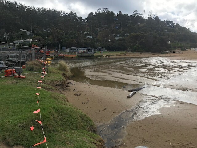
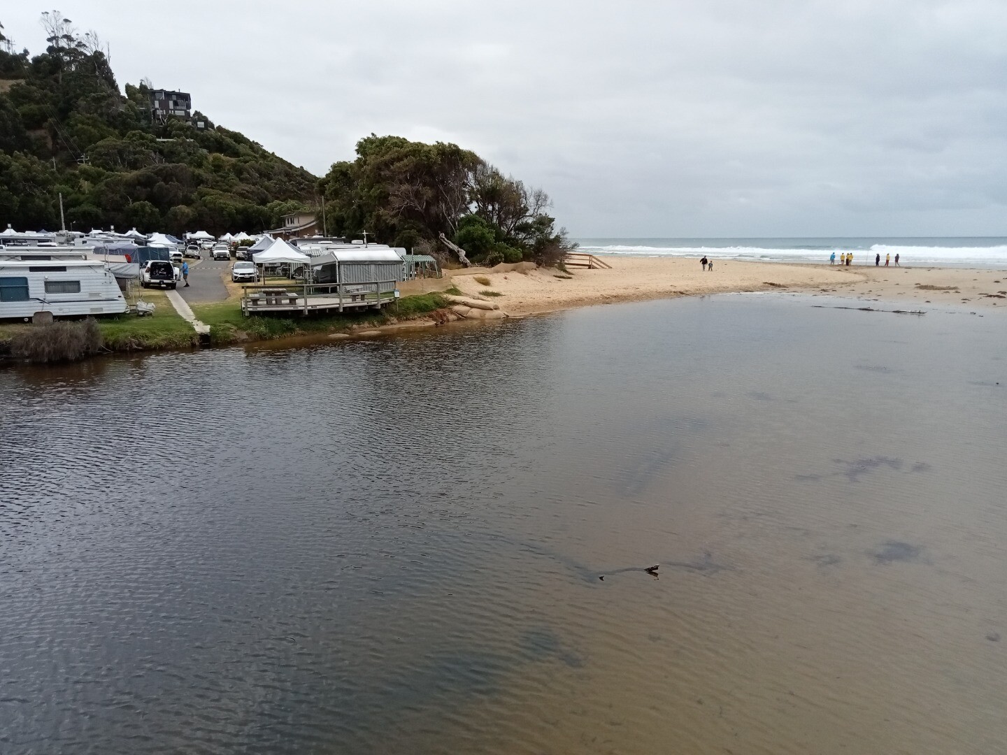
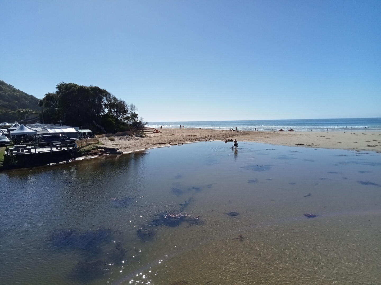
July 2021 - Walk to the south eastern end of the Great Ocean Bridge ie beach entrance end on the ocean side of the road bridge. Look for pencil markings on the top rail between 4th and 5th posts. Lat -38.63436 Long 143.89103 April 2024 - bridge works. WyP2 is the code for a relocated photopoint site temporarily used while bridge is under construction. Field visit with EW volunteers on Fri26/4/24 identified new location at wooden stair access to beach Lat -38.634841, Long 143.891092 - see photo below |
| Site access |
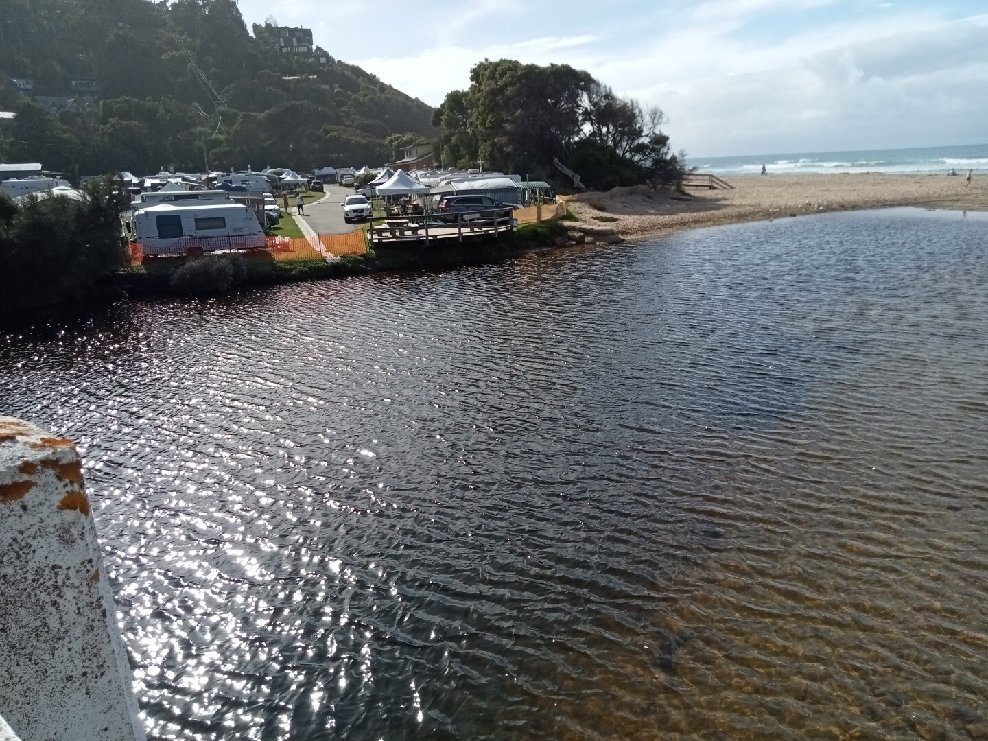
Platform at stair access to beach (see photo). Bridge works visible as well as sandbags and river course. |
| Land use |
|
| Land use description |
Upper catchment native forest. Site is downstream of low densiity housing, caravan park and recreational areas. |
| Status | Active |
| Observation history | 23-02-2021 - 17-12-2024 |
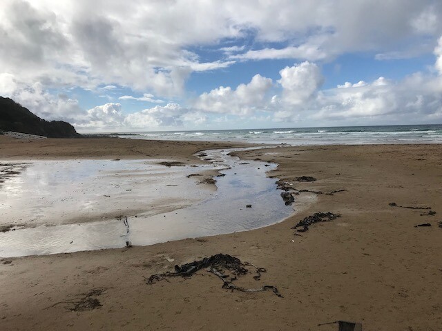
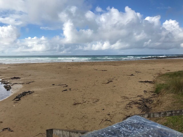
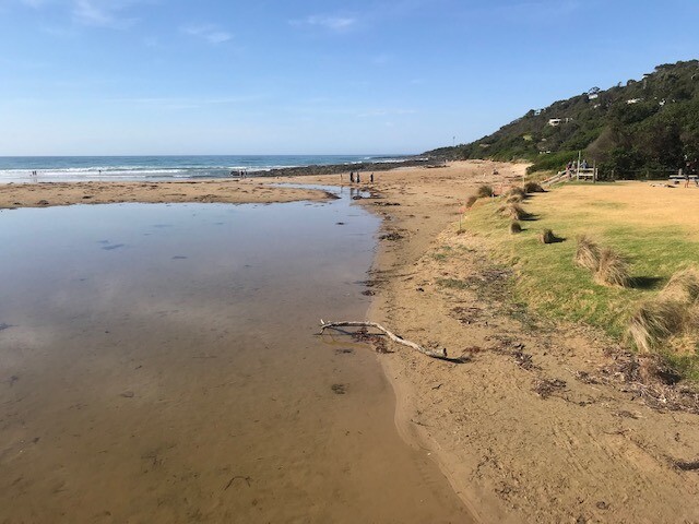
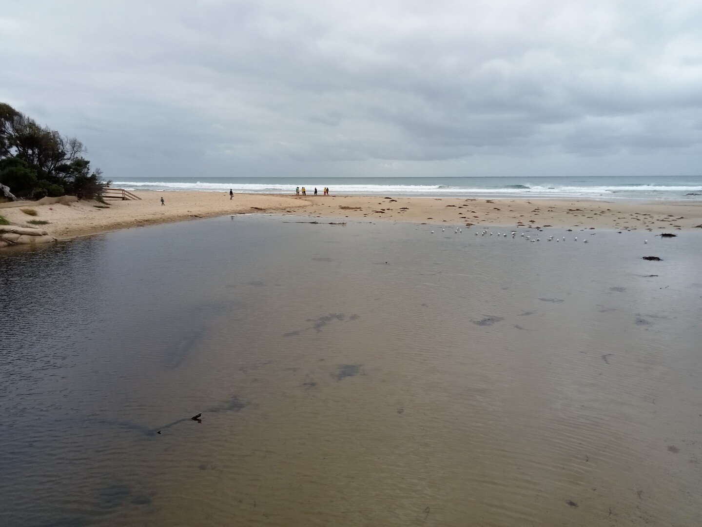
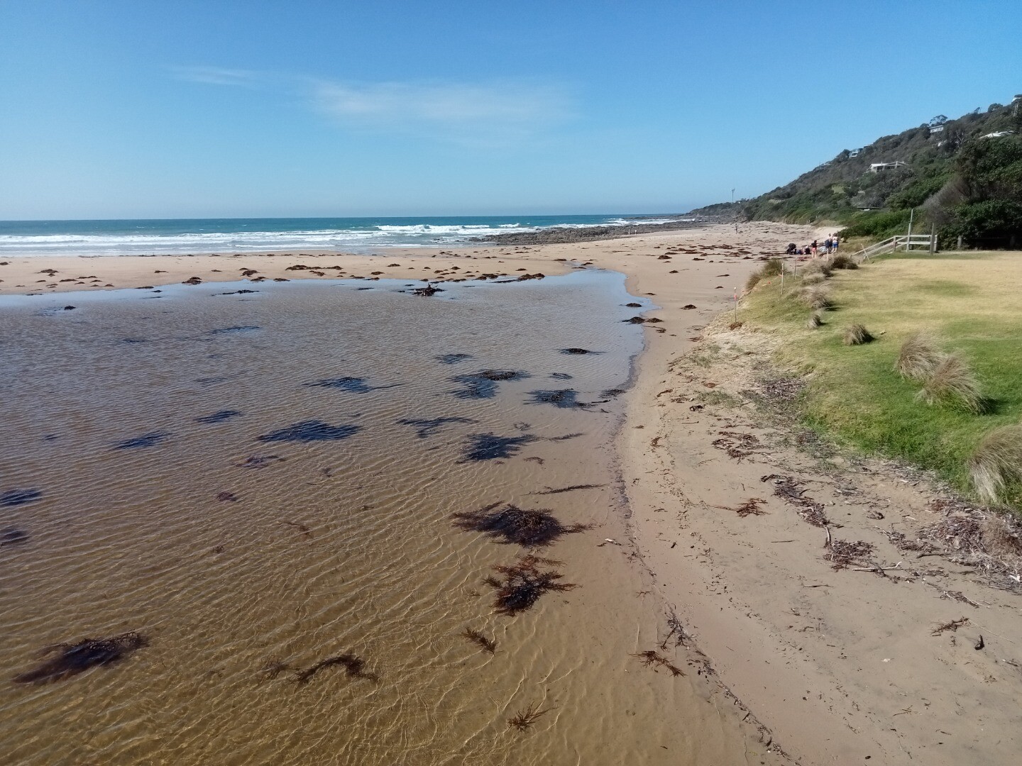
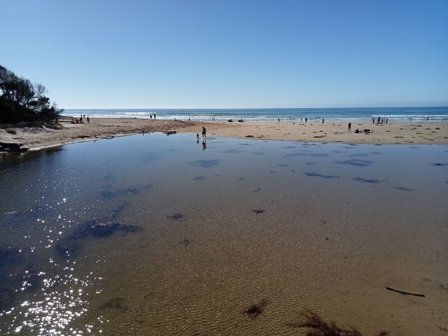
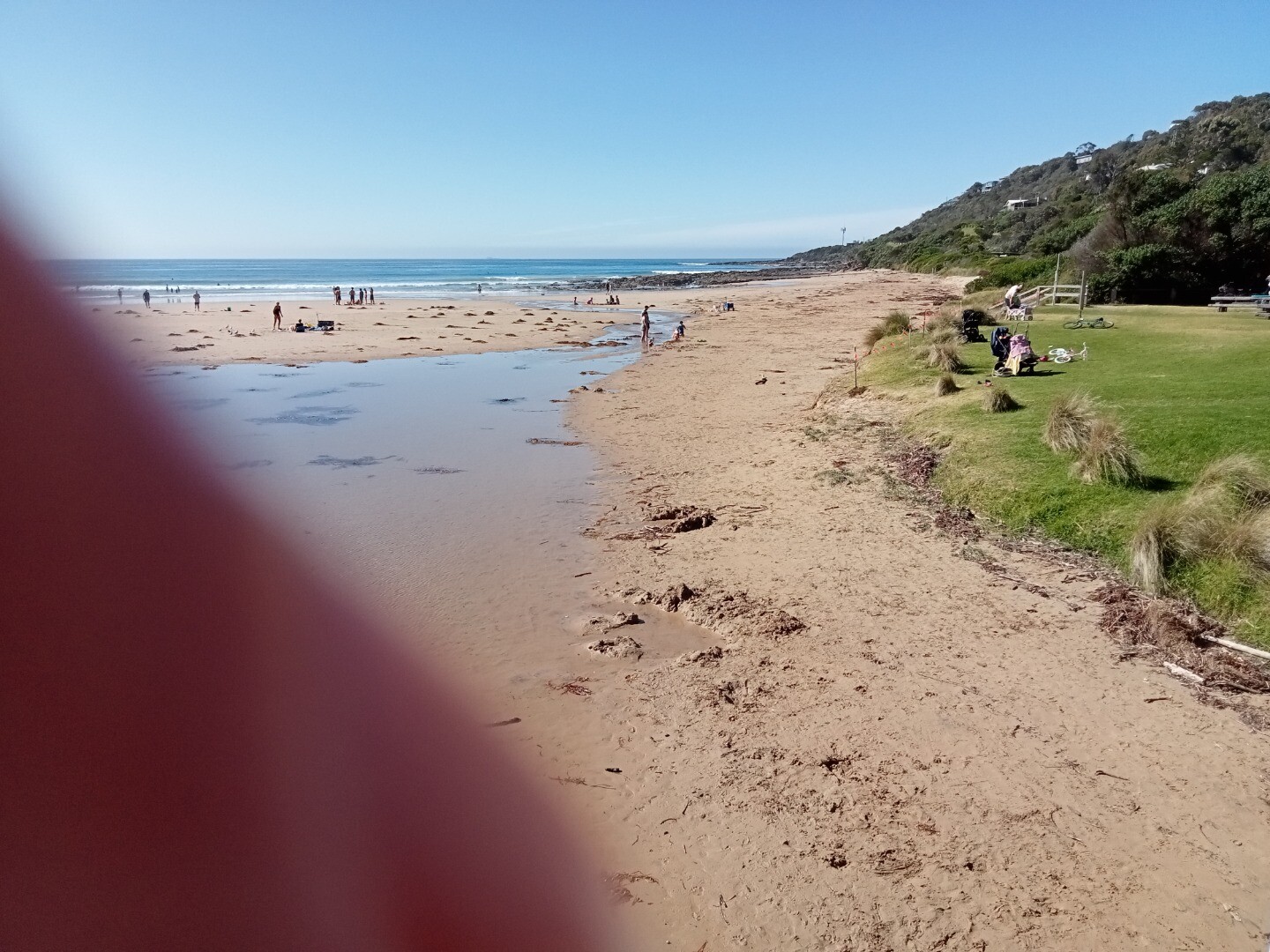
Photopoint photos
Photopoint Wyp2 17-12-2024


Photopoint Wyp2 08-12-2024


Photopoint Wyp2 17-11-2024


Photopoint Wyp2 10-10-2024


Photopoint Wyp2 20-09-2024


Photopoint Wyp2 03-09-2024


Photopoint Wyp2 08-08-2024


Photopoint Wyp2 16-07-2024


Photopoint Wyp2 01-07-2024


Photopoint Wyp2 04-06-2024


Photopoint Wyp2 29-05-2024


Photopoint Wyp2 08-05-2024
Photopoint Wyp2 13-04-2024
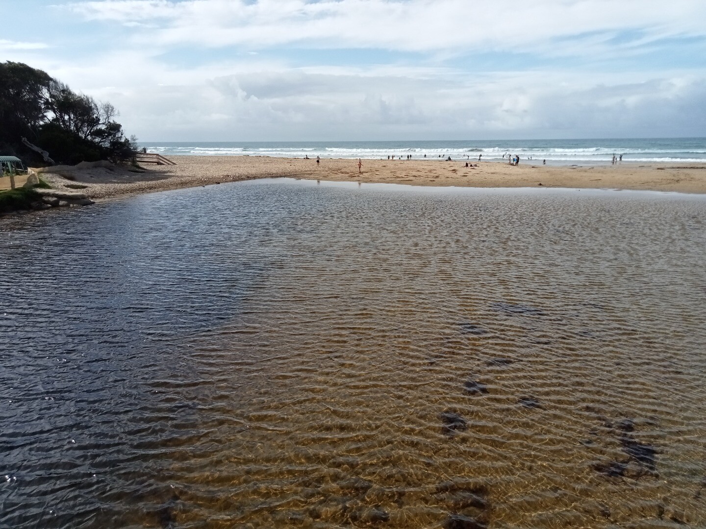
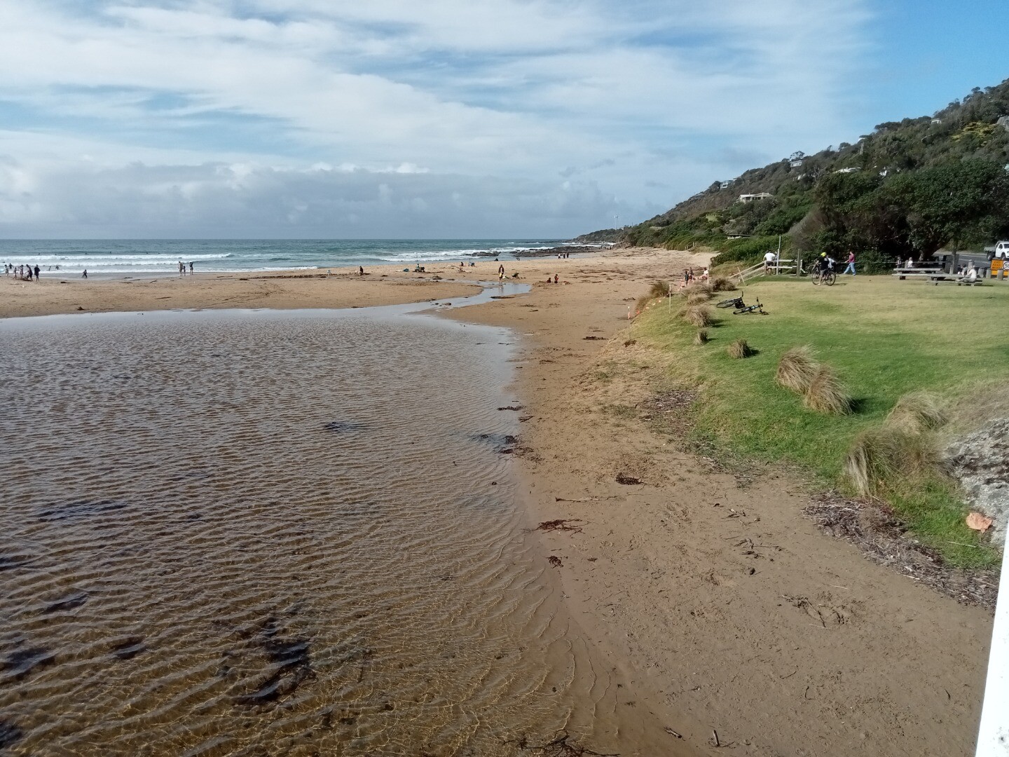
Photopoint Wyp2 18-03-2024
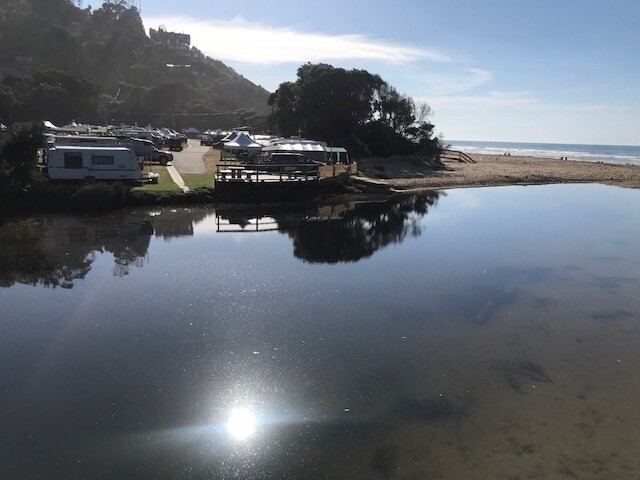
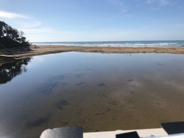
Photopoint Wyp2 11-03-2024
Photopoint Wyp2 06-02-2024

All content, files, data and images provided by the EstuaryWatch Data Portal and Gallery are subject to a Creative Commons Attribution License
Content is made available to be used in any way, and should always attribute EstuaryWatch and www.estuarywatch.org.au