EstuaryWatch Data Portal
Site details
Overview
| Estuary | Merricks Creek Estuary |
|---|---|
| CMA | Melbourne Water |
| Type | Photopoint |
| Site code | Mep1 |
| Site name | Merricks Creek Photopoint 1 |
| Nearest road and town | Parklands Avenue, Somers |
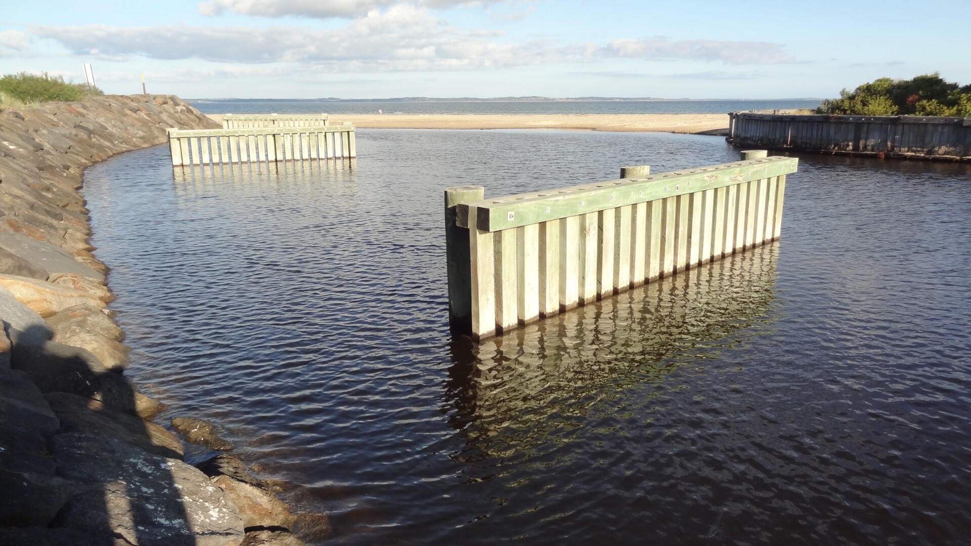
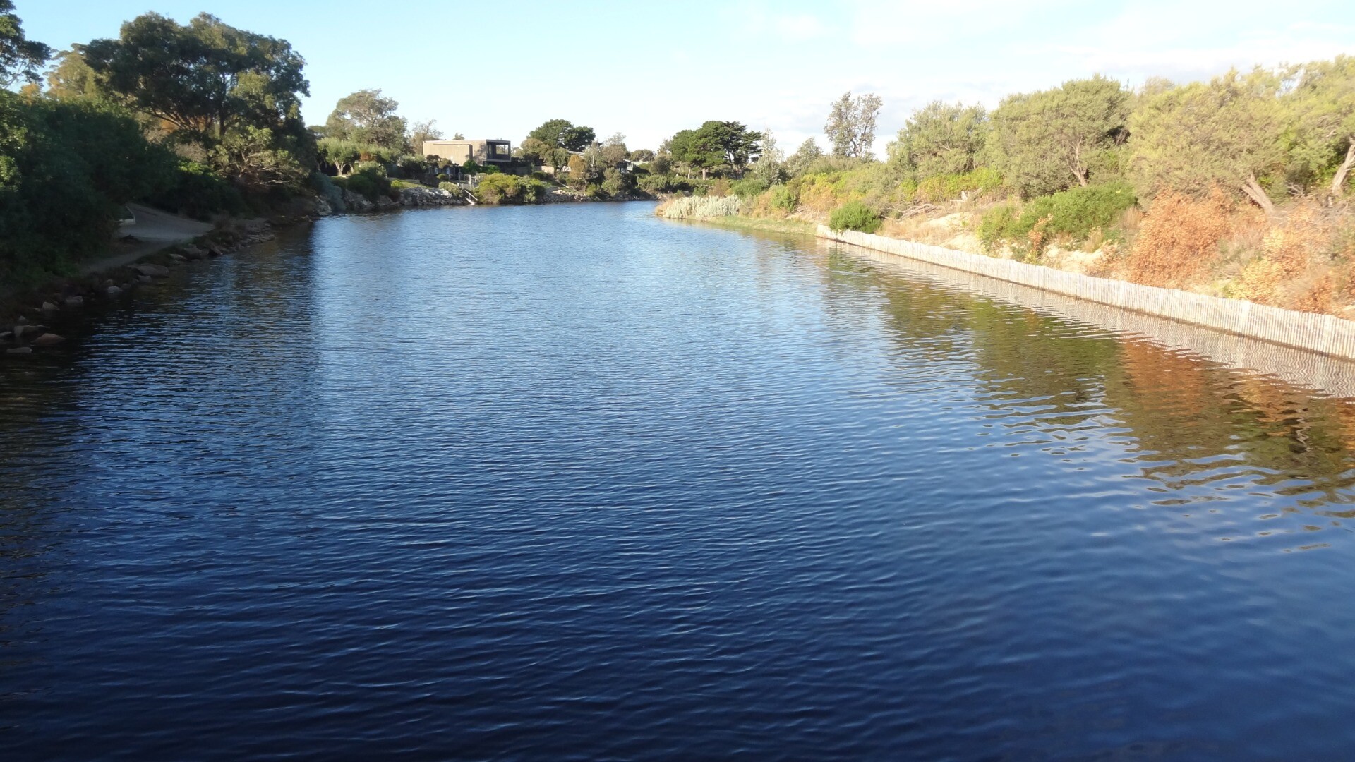
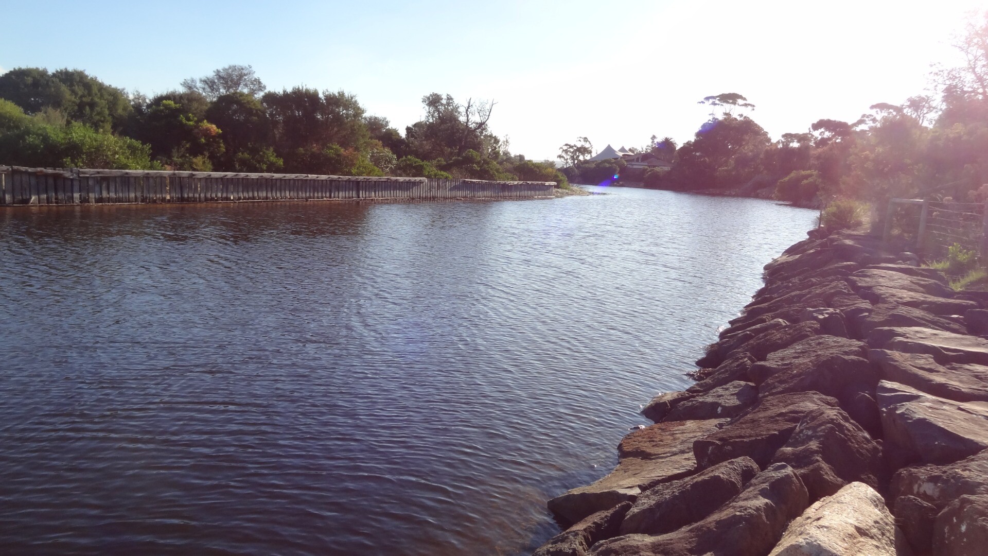
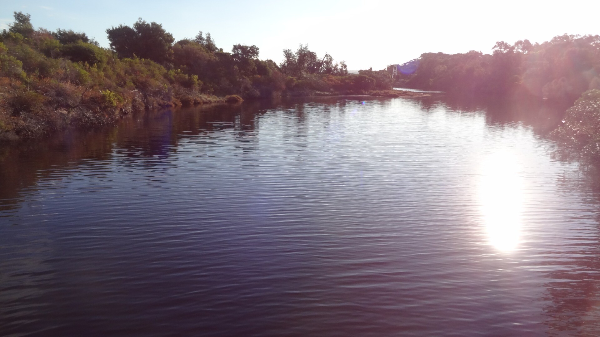
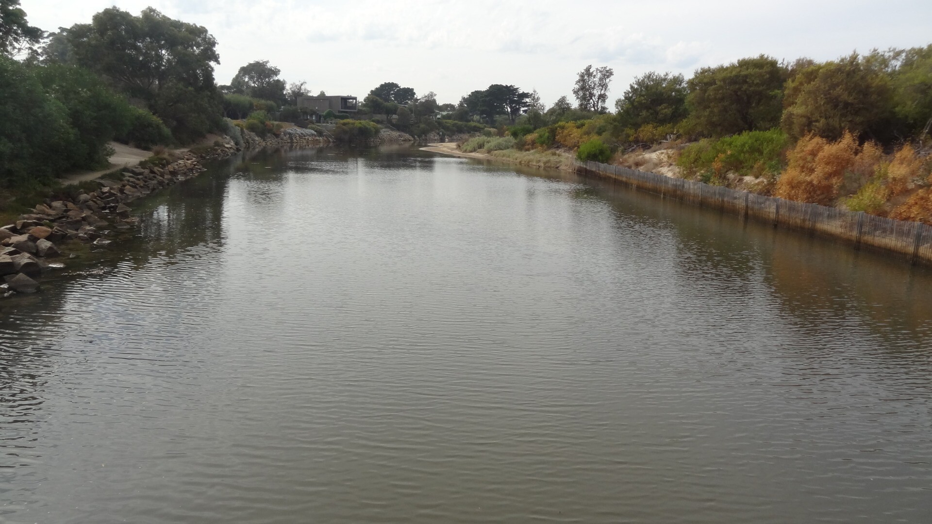
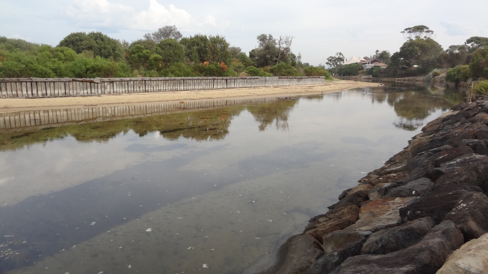
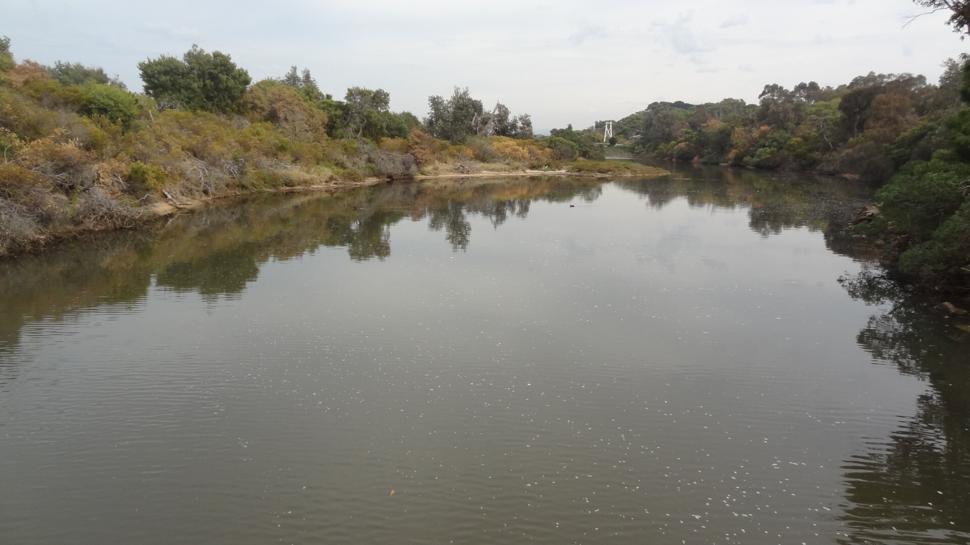
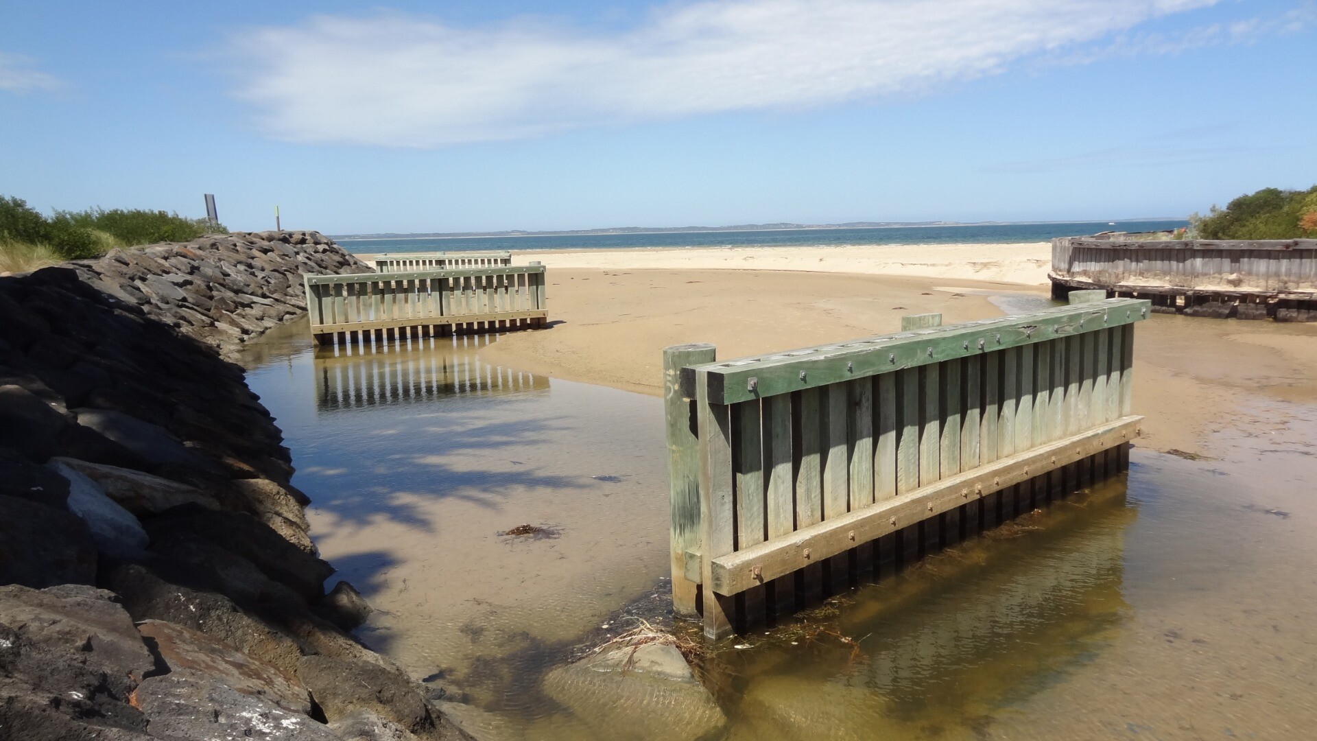
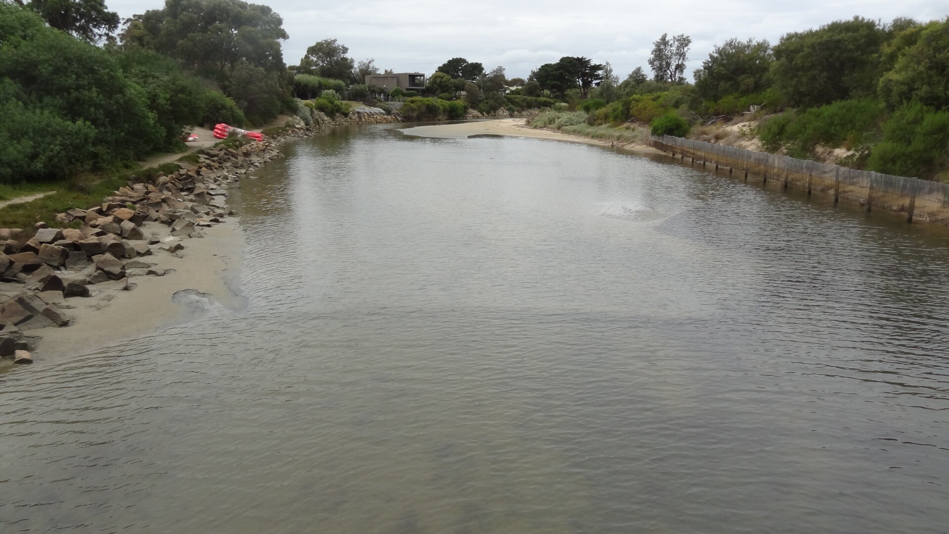
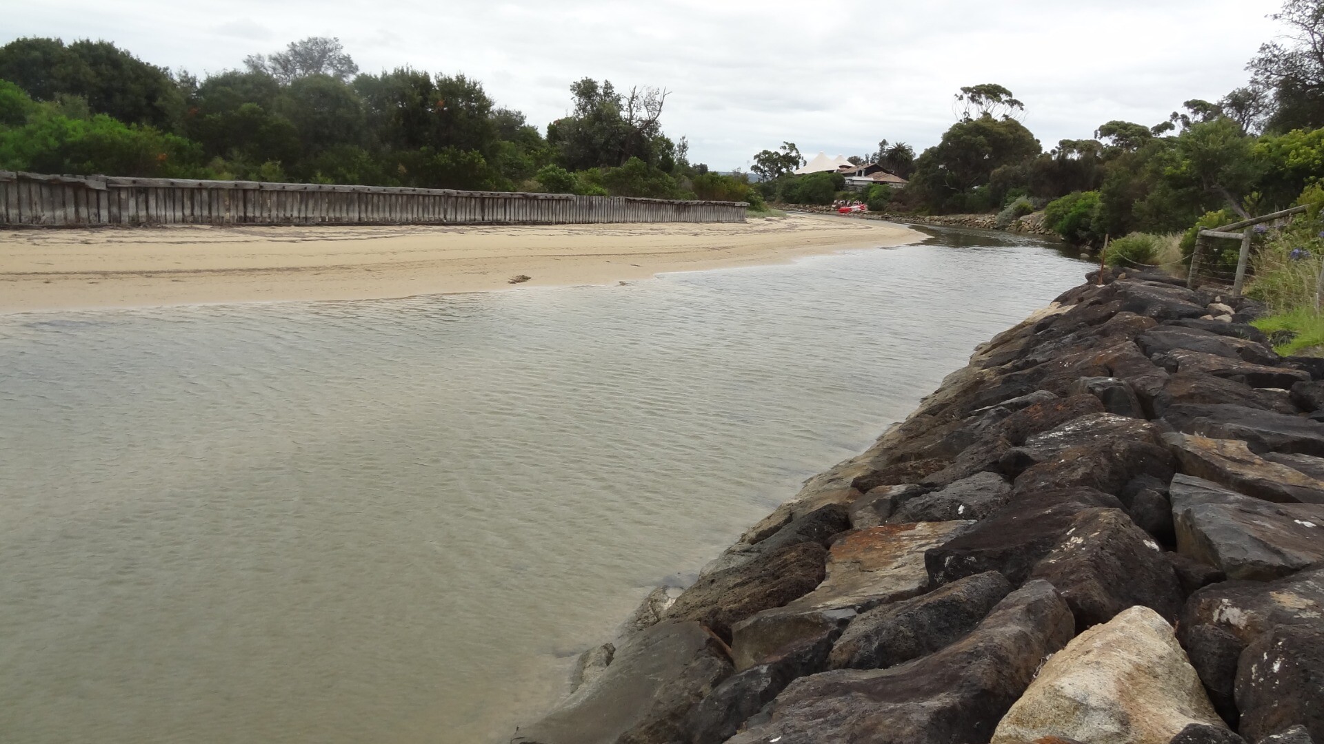
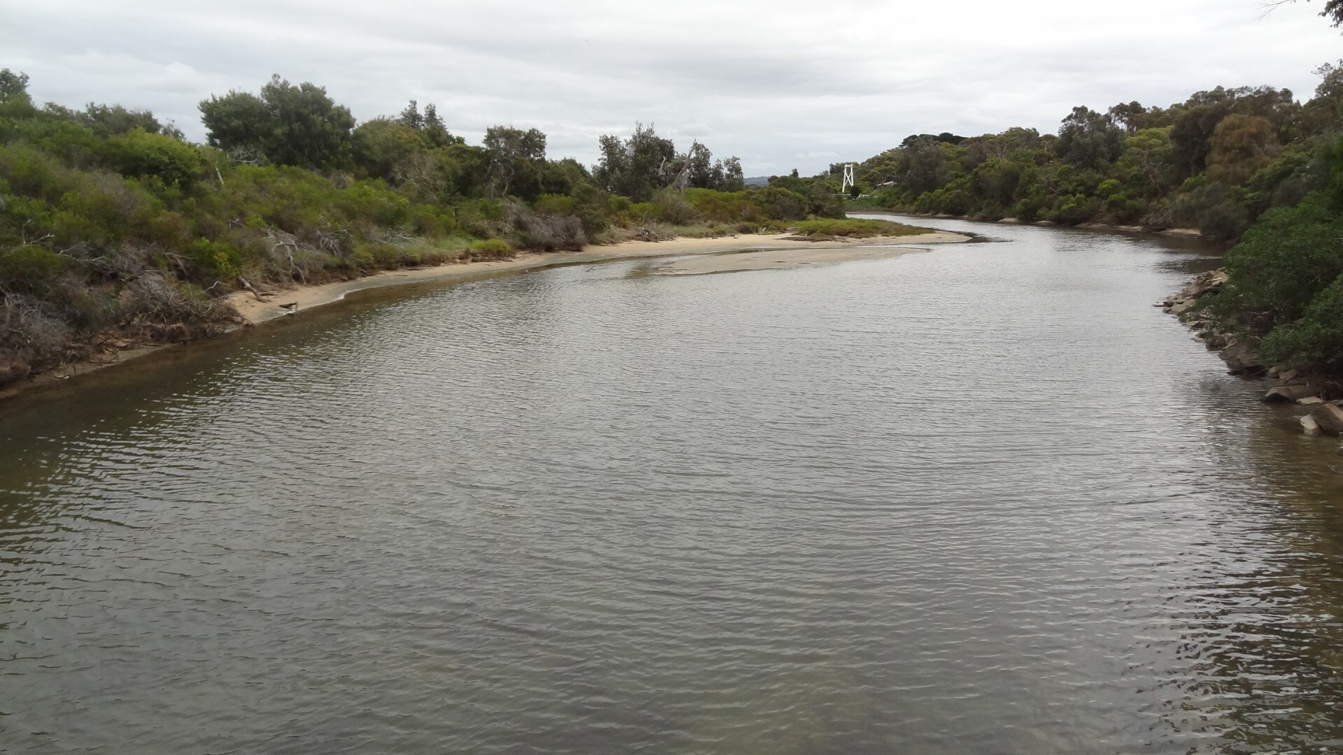
| Description | Along the top of the rock wall on the Somers side of the estuary. |
| Site access | Park along The Promenade, Somers. There is a beach access track that will take you to the mouth of the estuary. |
| Land use |
|
| Land use description | |
| Status | Active |
| Observation history | 02-01-2017 - 13-01-2025 |
Photopoint photos
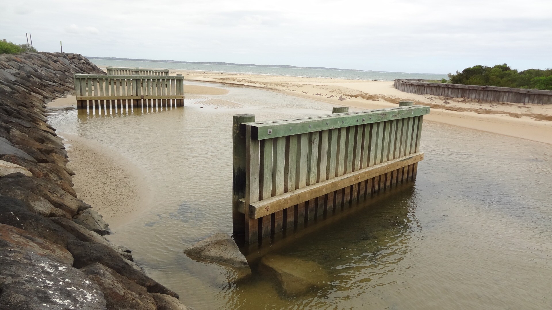
Photopoint Mep1 13-01-2025


Photopoint Mep1 02-12-2024


Photopoint Mep1 04-11-2024


Photopoint Mep1 08-10-2024


Photopoint Mep1 04-09-2024


Photopoint Mep1 06-08-2024


Photopoint Mep1 02-07-2024


Photopoint Mep1 04-06-2024


Photopoint Mep1 09-05-2024
Photopoint Mep1 01-04-2024

Photopoint Mep1 06-03-2024
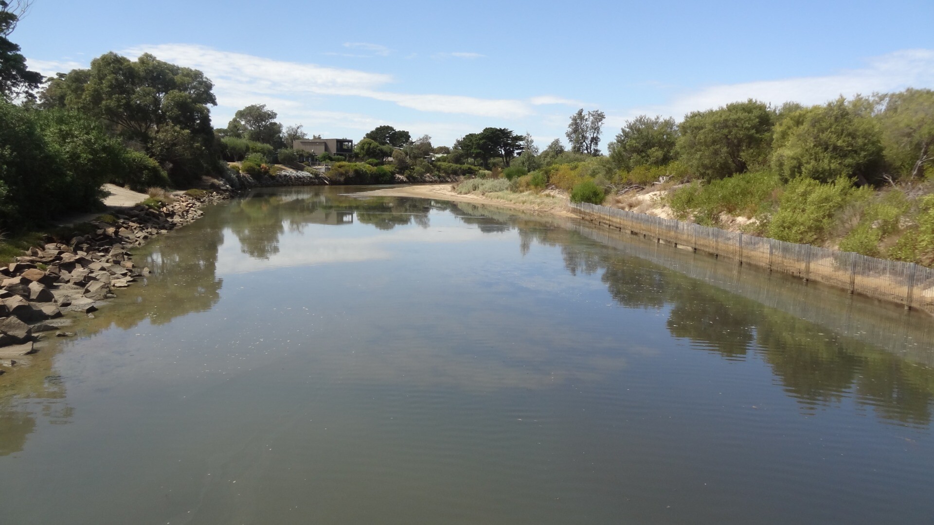
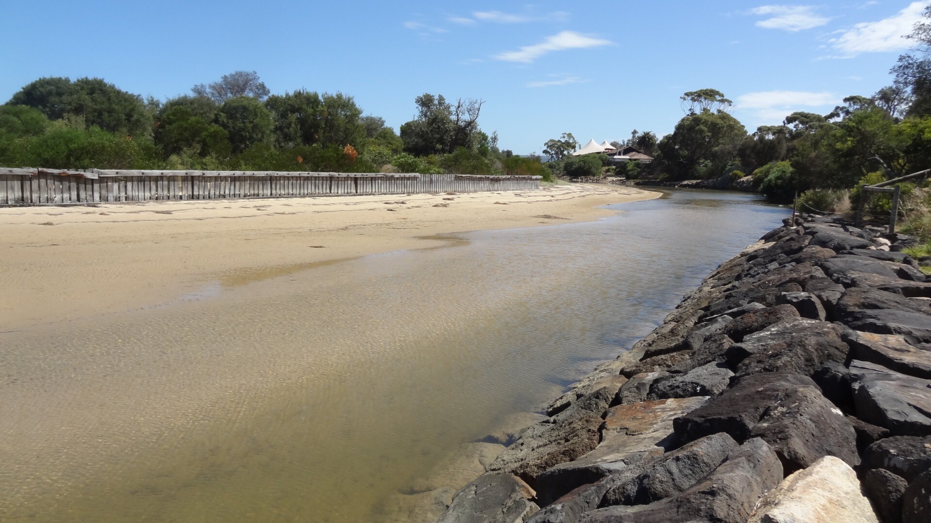
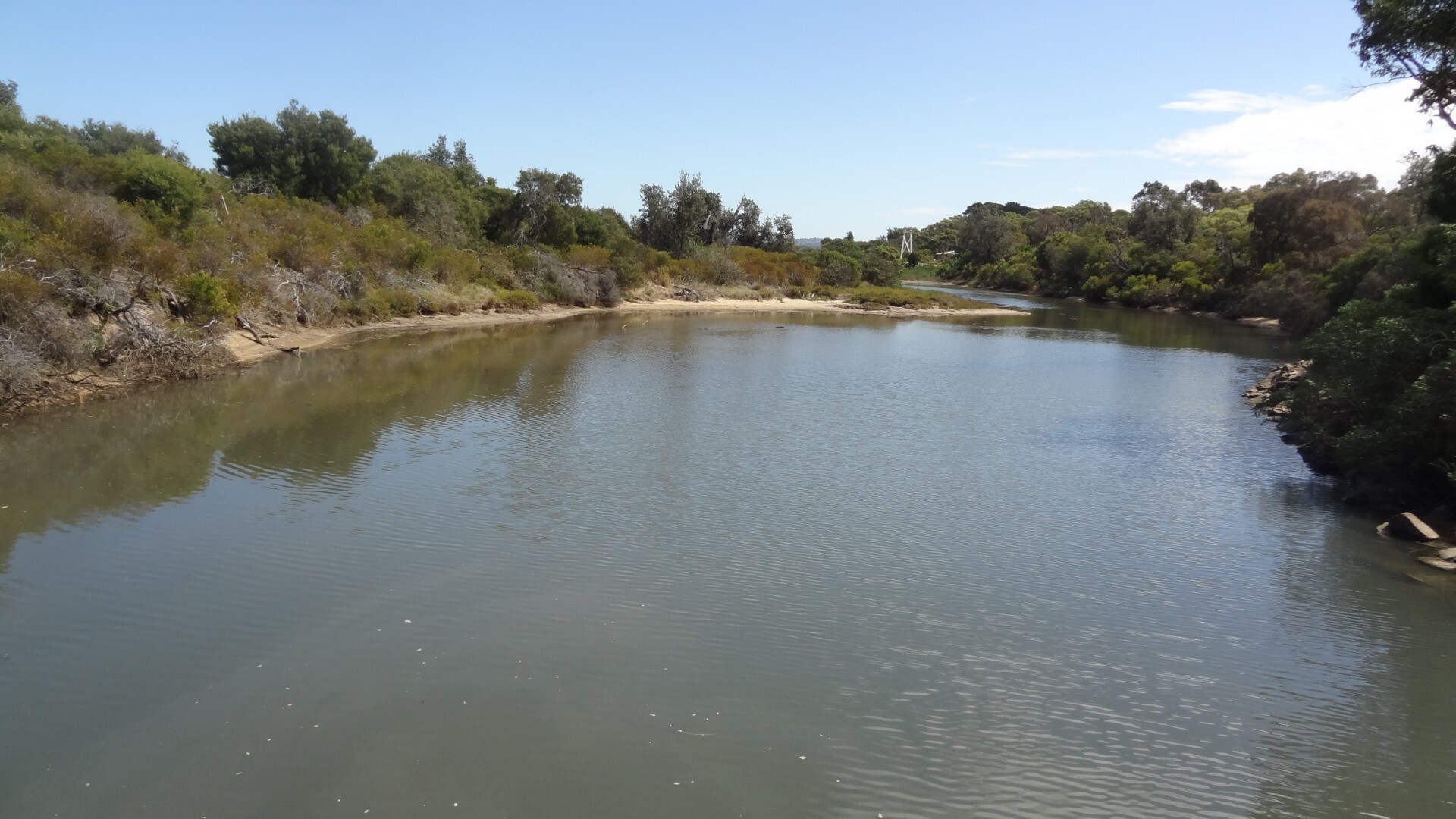
Photopoint Mep1 05-02-2024

All content, files, data and images provided by the EstuaryWatch Data Portal and Gallery are subject to a Creative Commons Attribution License
Content is made available to be used in any way, and should always attribute EstuaryWatch and www.estuarywatch.org.au