EstuaryWatch Data Portal
Site details
Overview
| Estuary | Bourne Creek |
|---|---|
| CMA | West Gippsland CMA |
| Type | Photopoint |
| Site code | Bop1 |
| Site name | Bourne Creek Photopoint Site One |
| Nearest road and town | Bass Hwy, Kilcunda |
| Description |
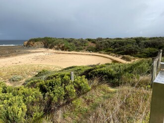
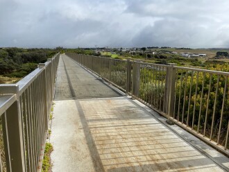
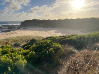
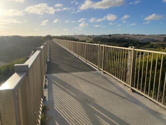
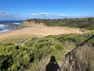
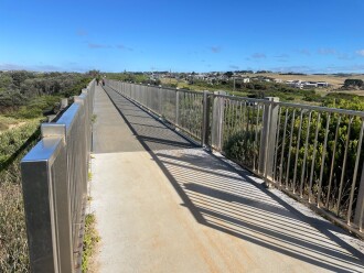
Eastern side of the Kilcunda Rail Trail (Trestle) Bridge, using the corner of the handrail (Oceanside) where the timber meets the gravel path as a guide. |
| Site access |
Park in the carpark to the east of the trestle bridge (i.e. Wonthaggi side of bridge) and follow the stairs up to the rail trail, and head west towards the bridge. |
| Land use |
|
| Land use description |
Coastal reserve along the coast, with land on the northern (inland side) of the Hwy consisting of residential and grazing land. |
| Status | Active |
| Observation history | 15-05-2017 - 20-01-2025 |
Photopoint photos

All content, files, data and images provided by the EstuaryWatch Data Portal and Gallery are subject to a Creative Commons Attribution License
Content is made available to be used in any way, and should always attribute EstuaryWatch and www.estuarywatch.org.au


